Coed Pant-y-cŷff

Wood, Forest in Caernarfonshire

Wales

Coed Pant-y-cŷff

A typical road bridge over the A55, near Bangor An Eastbound view, showing the snow-covered mountains of Snowdonia ahead. This section of the A55 makes up the Bangor Bypass and opened in 1983.
A typical road bridge over the A55, near Bangor Credit: Oliver Mills

Coed Pant-y-cŷff is a picturesque wood located in Caernarfonshire, Wales. Situated near the town of Caernarfon, this forest is known for its natural beauty and diverse range of flora and fauna. The name itself translates to "Wood, Forest," which accurately reflects the essence of this enchanting place.

Covering an area of approximately 100 hectares, Coed Pant-y-cŷff boasts a variety of tree species, including oak, beech, and pine. These majestic trees provide a lush canopy that creates a serene and peaceful atmosphere for visitors. The forest floor is adorned with a colorful carpet of wildflowers during spring and summer, adding a touch of vibrancy to the surroundings.

The wood is home to an abundance of wildlife, making it a popular spot for nature enthusiasts and birdwatchers. Visitors may catch a glimpse of red kites soaring above, or perhaps spot a shy deer roaming amongst the trees. The forest also houses a network of walking trails, allowing visitors to explore the area at their own pace and enjoy the tranquility of nature.

Coed Pant-y-cŷff is not only a haven for nature lovers but also a valuable resource for the local community. The wood serves as a sustainable source of timber and supports various conservation efforts. Furthermore, it offers recreational opportunities such as camping, picnicking, and educational activities for children.

Overall, Coed Pant-y-cŷff is a natural gem in Caernarfonshire, offering a truly immersive and captivating experience for those seeking solace in the great outdoors.

If you have any feedback on the listing, please let us know in the comments section below.

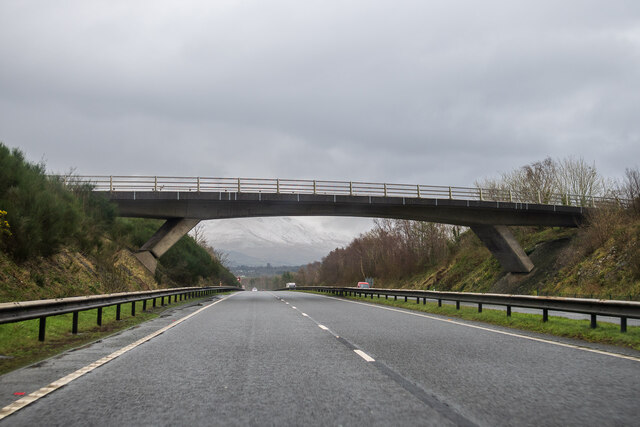
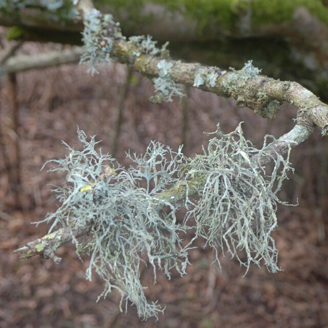
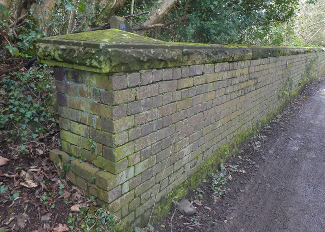
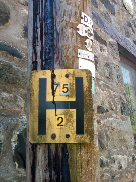
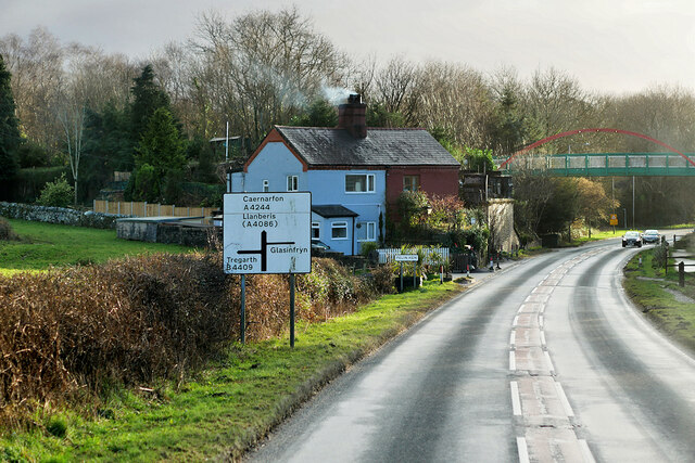
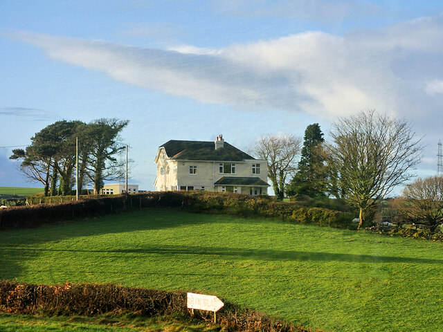
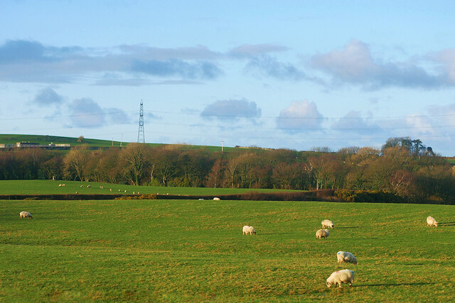
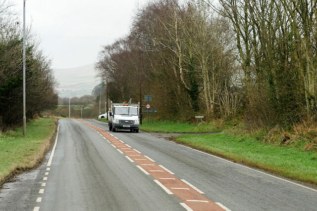
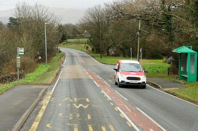
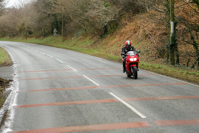
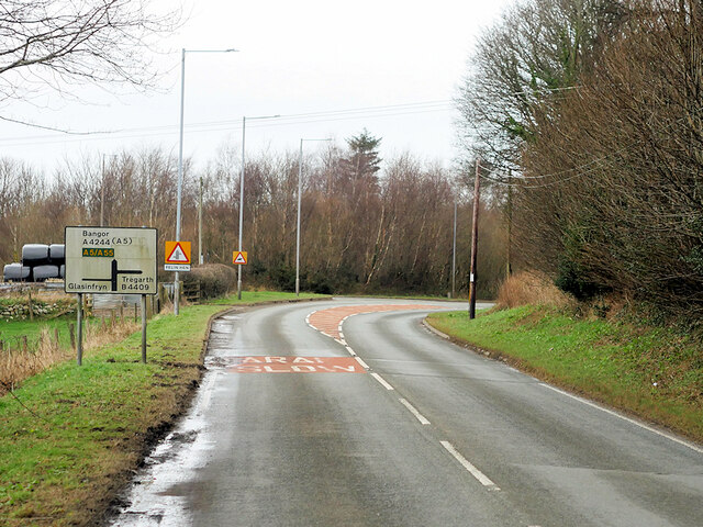
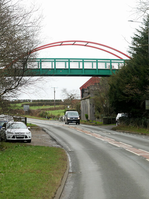
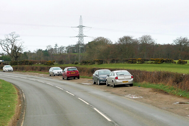
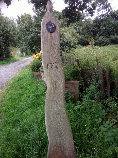
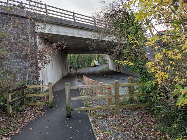
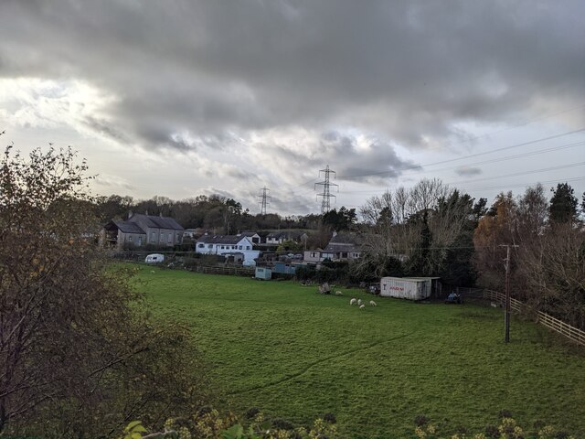
Coed Pant-y-cŷff Images

Images are sourced within 2km of 53.187261/-4.1244241 or Grid Reference SH5867. Thanks to Geograph Open Source API. All images are credited.

A typical road bridge over the A55, near Bangor An Eastbound view, showing the snow-covered mountains of Snowdonia ahead. This section of the A55 makes up the Bangor Bypass and opened in 1983.
A typical road bridge over the A55, near Bangor
An Eastbound view, showing the snow-covered mountains of Snowdonia ahead. This section of the A55 makes up the Bangor Bypass and opened in 1983.
Cen llwyd / Grey lichen
Pont dros Lon Las Ogwen / Bridge over Lon Las Ogwen
Coedlan ger Pant-y-Cyff / Woodland near Pant-y-Cyff (1)
Coedlan ger Pant-y-Cyff / Woodland near Pant-y-Cyff (2)
Hydrant sign on telephone pole, Tregarth
A4244, Felin Hen Road The A4244 is a relatively short (6½ miles) rural A-road in north Caernarfonshire. It connects the A5/A55 (near the Llys-y-gwynt junction) with the A4086 at Brynrefail, just outside Llanberis.
A4244, Felin Hen Road
The A4244 is a relatively short (6½ miles) rural A-road in north Caernarfonshire. It connects the A5/A55 (near the Llys-y-gwynt junction) with the A4086 at Brynrefail, just outside Llanberis.
Large House near to Pentir
Sheep Grazing near to Pentir
A4244, Pentir The A4244 is a relatively short (6½ miles) rural A-road in north Caernarfonshire. It connects the A5/A55 (near the Llys-y-gwynt junction) with the A4086 at Brynrefail, just outside Llanberis.
A4244, Pentir
The A4244 is a relatively short (6½ miles) rural A-road in north Caernarfonshire. It connects the A5/A55 (near the Llys-y-gwynt junction) with the A4086 at Brynrefail, just outside Llanberis.
A4244, Rhyd y groes Bus Stop The A4244 is a relatively short (6½ miles) rural A-road in north Caernarfonshire. It connects the A5/A55 (near the Llys-y-gwynt junction) with the A4086 at Brynrefail, just outside Llanberis.
A4244, Rhyd y groes Bus Stop
The A4244 is a relatively short (6½ miles) rural A-road in north Caernarfonshire. It connects the A5/A55 (near the Llys-y-gwynt junction) with the A4086 at Brynrefail, just outside Llanberis.
Motorcyclist on the A4244 near to Pentir
A4244 near Felin-hên
Footbridge over Felin Hen Road The A4244 is a relatively short (6½ miles) rural A-road in north Caernarfonshire. It connects the A5/A55 (near the Llys-y-gwynt junction) with the A4086 at Brynrefail, just outside Llanberis.
Footbridge over Felin Hen Road
The A4244 is a relatively short (6½ miles) rural A-road in north Caernarfonshire. It connects the A5/A55 (near the Llys-y-gwynt junction) with the A4086 at Brynrefail, just outside Llanberis.
Layby on the A4244 near to  Glasinfryn The A4244 is a relatively short (6½ miles) rural A-road in north Caernarfonshire. It connects the A5/A55 (near the Llys-y-gwynt junction) with the A4086 at Brynrefail, just outside Llanberis.
Layby on the A4244 near to Glasinfryn
The A4244 is a relatively short (6½ miles) rural A-road in north Caernarfonshire. It connects the A5/A55 (near the Llys-y-gwynt junction) with the A4086 at Brynrefail, just outside Llanberis.
Moelyci heritage trail waymark No. 1, Tregarth
Lôn Las Ogwen passes under the A55
Field and houses near Lôn Las Ogwen
Show me another place!

Coed Pant-y-cŷff is located at Grid Ref: SH5867 (Lat: 53.187261, Lng: -4.1244241)

Unitary Authority: Gwynedd

Police Authority: North Wales

What 3 Words

///utter.fear.fragment. Near Tregarth, Gwynedd

Related Wikis

Aber Dinlle Fault

The Aber Dinlle Fault is a SW-NE trending fault in North Wales. It forms part of the Menai Strait Fault System, with the Berw and Dinorwic Faults. It lies...

Pentir

Pentir is a community and electoral ward in the county of Gwynedd, Wales, and is 124 miles (199.9 km) from Cardiff and 205 miles (329.4 km) from London...

Felin Hen Halt railway station

Felin Hen Halt railway station was a station in Glasinfryn, Gwynedd, Wales on the Bethesda branch line. The station was opened on 1 July 1884 and closed...

Glasinfryn

Glasinfryn is a small village in Gwynedd, Wales. It is situated between the village of Tregarth and the city of Bangor, Gwynedd, and in the community of...

Nearby Amenities

Located within 500m of 53.187261,-4.1244241
Power: pole
Lat/Long: 53.1840084/-4.1289846
Power: pole
Lat/Long: 53.184272/-4.128813
Power: pole
Lat/Long: 53.1849995/-4.1272244
Power: pole
Lat/Long: 53.1845816/-4.1286487
Power: pole
Lat/Long: 53.1847986/-4.1279017
The data included in this document is from www.openstreetmap.org. The data is made available under ODbL.

Have you been to Coed Pant-y-cŷff?

Leave your review of Coed Pant-y-cŷff below (or comments, questions and feedback).