Allt Berach
Wood, Forest in Carmarthenshire
Wales
Allt Berach
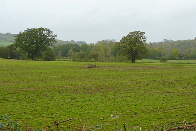
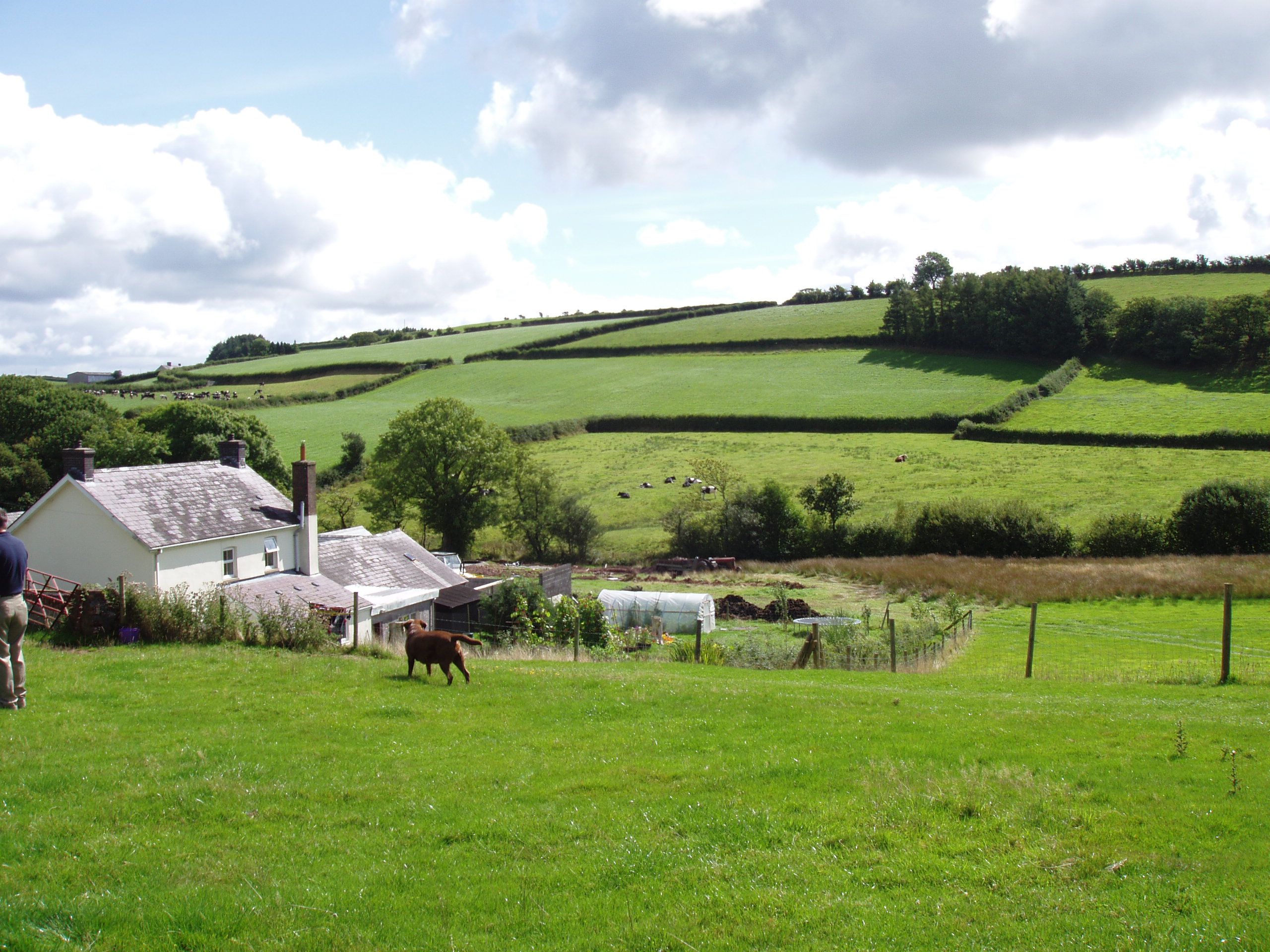
Allt Berach is a picturesque woodland area located in Carmarthenshire, Wales. Situated amidst the stunning countryside, this woodland is known for its natural beauty and tranquil atmosphere. Spanning over a vast area, Allt Berach is a haven for nature lovers, hikers, and those seeking a peaceful retreat.
The woodland is primarily composed of a mixture of deciduous and coniferous trees, creating a diverse and vibrant ecosystem. Oak, beech, and ash trees dominate the landscape, providing a dense canopy that offers shade during the summer months. The forest floor is carpeted with a variety of wildflowers, ferns, and mosses, adding to the enchanting charm of the area.
Allt Berach is home to a wide array of wildlife, including numerous bird species, small mammals, and insects. Birdwatchers can spot species such as woodpeckers, thrushes, and owls, while lucky visitors may even catch a glimpse of a red squirrel or a wild deer.
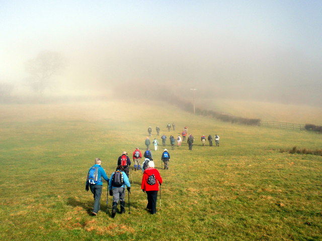
The woodland boasts several well-maintained trails, making it an ideal destination for outdoor enthusiasts. These paths wind through the forest, offering breathtaking views and opportunities for exploration. The tranquil ambiance and natural beauty of Allt Berach make it a popular spot for walking, jogging, and photography.
In addition to its recreational appeal, Allt Berach also plays an important role in the local ecosystem by providing a habitat for a wide range of flora and fauna. Efforts are made to conserve and protect this woodland, ensuring its preservation for future generations to enjoy.
If you have any feedback on the listing, please let us know in the comments section below.
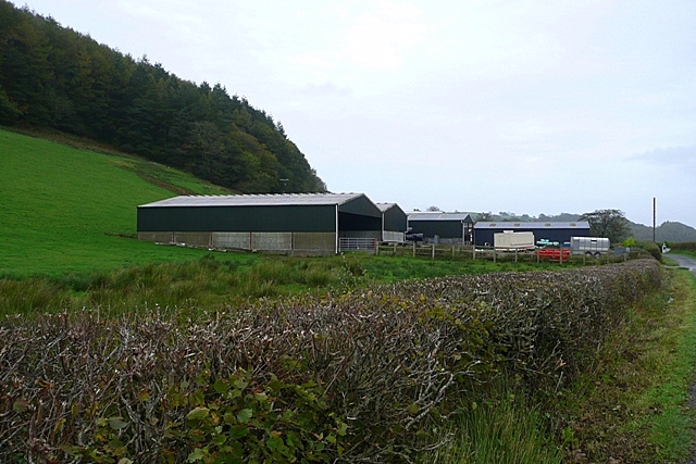
Allt Berach Images
Images are sourced within 2km of 51.85373/-4.0664654 or Grid Reference SN5719. Thanks to Geograph Open Source API. All images are credited.


Allt Berach is located at Grid Ref: SN5719 (Lat: 51.85373, Lng: -4.0664654)
Unitary Authority: Carmarthenshire
Police Authority: Dyfed Powys
What 3 Words
///pacifist.stability.irritate. Near Llangathen, Carmarthenshire
Nearby Locations
Related Wikis

Allt y Gaer
Allt y Gaer (Welsh for 'hill of the fort') is a Site of Special Scientific Interest (SSSI) in Llangathen community, Carmarthenshire, Wales. It is a 3.5ha...

Ffynnon-ddrain
Ffynnon-ddrain is a settlement in Carmarthenshire, Wales, one mile north-west of the town of Carmarthen, 24 miles north-west of the major city of Swansea...
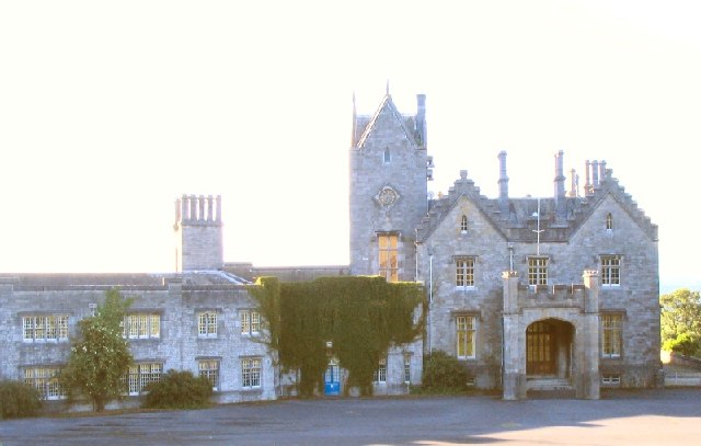
Golden Grove, Carmarthenshire
Golden Grove (Welsh: Gelli Aur) is a mansion and estate in the Welsh county of Carmarthenshire, located 4 miles (6 km) southwest of Llandeilo. == History... ==
Gelli Aur country park
Gelli Aur (meaning: Golden Grove) is a country park in Carmarthenshire, Wales, with 60 acres (240,000 m2) of wooded parkland surrounding Golden Grove mansion...
Llanfihangel Aberbythych
Llanfihangel Aberbythych is a community in Carmarthenshire, Wales. The population recorded at the 2011 census was 1,344. It is bordered by Llangathen,...

Golden Grove railway station
Golden Grove railway station served the estate of Golden Grove, Carmarthenshire, Wales from 1865 to 1963 on the Llanelly Railway. == History == The station...
Allt y wern
Allt y Wern is a Site of Special Scientific Interest (SSSI) in the community of Llangathen in Carmarthenshire, Wales. The site is a semi-natural broadleaved...

Dryslwyn railway station
== History == The station opened on 1 June 1865 by the Llanelly Railway. It was situated on the north side of the line west of the level crossing. There...
Nearby Amenities
Located within 500m of 51.85373,-4.0664654Have you been to Allt Berach?
Leave your review of Allt Berach below (or comments, questions and feedback).