Allt Tai'n-coed

Wood, Forest in Cardiganshire

Wales

Allt Tai'n-coed

Ordnance Survey Cut Mark This OS cut mark can be found on the churn stand NW side of the road. It marks a point 169.411m above mean sea level. <a title="https://www.geograph.org.uk/photo/7412363" href="https://www.geograph.org.uk/photo/7412363">Link</a>
Ordnance Survey Cut Mark Credit: Adrian Dust

Allt Tai'n-coed is a picturesque woodland located in the county of Cardiganshire, Wales. This enchanting forest covers an area of approximately 500 acres and is known for its lush greenery, diverse flora, and tranquil atmosphere.

The woodland is situated on the slopes of the Cambrian Mountains, offering breathtaking views of the surrounding landscape. It is home to a variety of tree species, including oak, beech, birch, and pine, creating a dense and vibrant canopy. The forest floor is adorned with an array of wildflowers, ferns, and moss, adding to the natural beauty of the area.

Allt Tai'n-coed provides a habitat for numerous wildlife species, making it a haven for nature enthusiasts and bird watchers. Visitors may spot red kites, buzzards, and owls soaring above the treetops, while small mammals like badgers, foxes, and squirrels scuttle through the undergrowth. The forest is also home to a diverse range of insects and butterflies, adding to its biodiversity.

The woodland offers a network of well-maintained walking trails, allowing visitors to explore its beauty at their own pace. The paths meander through the forest, leading to stunning viewpoints and hidden gems such as cascading waterfalls and tranquil streams. Allt Tai'n-coed is a popular destination for hikers, families, and nature lovers who seek solace in the peaceful ambiance of the woods.

Overall, Allt Tai'n-coed in Cardiganshire is a captivating woodland that showcases the beauty of nature in Wales. Its abundance of flora and fauna, coupled with its scenic trails, make it a beloved destination for those seeking a peaceful retreat in the heart of nature.

If you have any feedback on the listing, please let us know in the comments section below.

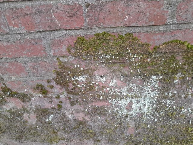
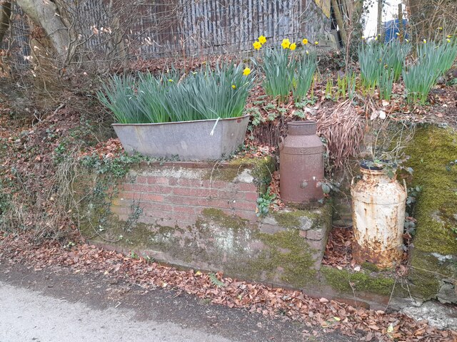
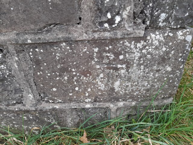
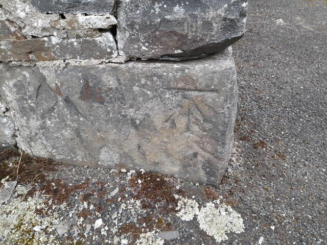
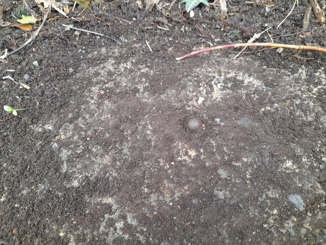
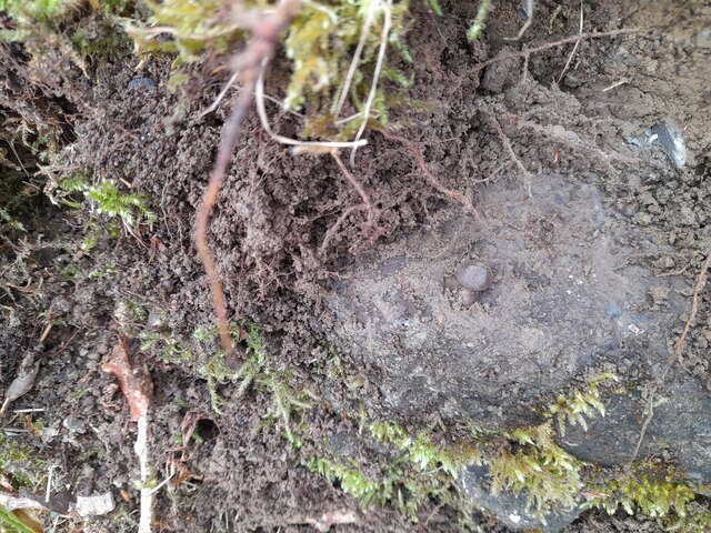
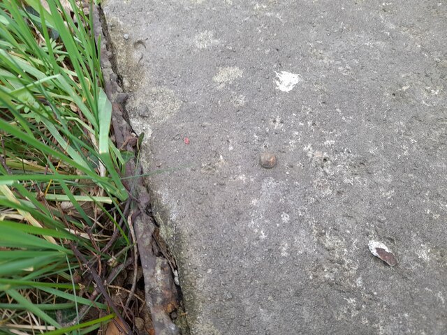
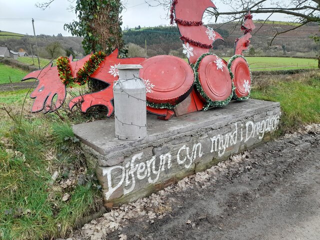
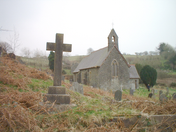
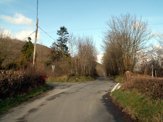
Allt Tai'n-coed Images

Images are sourced within 2km of 52.195472/-4.083967 or Grid Reference SN5757. Thanks to Geograph Open Source API. All images are credited.

Ordnance Survey Cut Mark This OS cut mark can be found on the churn stand NW side of the road. It marks a point 169.411m above mean sea level. <a title="https://www.geograph.org.uk/photo/7412363" href="https://www.geograph.org.uk/photo/7412363">Link</a>
Ordnance Survey Cut Mark
This OS cut mark can be found on the churn stand NW side of the road. It marks a point 169.411m above mean sea level. Link
Churn Stand There is an Ordnance Survey cut mark on the front of the stand. <a title="https://www.geograph.org.uk/photo/7412358" href="https://www.geograph.org.uk/photo/7412358">Link</a>
Churn Stand
There is an Ordnance Survey cut mark on the front of the stand. Link
Ordnance Survey Cut Mark This OS cut mark can be found on the gatepost north side of the road. It marks a point 164.967m above mean sea level.
Ordnance Survey Cut Mark
This OS cut mark can be found on the gatepost north side of the road. It marks a point 164.967m above mean sea level.
Ordnance Survey Cut Mark This OS cut mark can be found on the SE angle of the church. It marks a point 148.605m above mean sea level.
Ordnance Survey Cut Mark
This OS cut mark can be found on the SE angle of the church. It marks a point 148.605m above mean sea level.
Ordnance Survey Rivet This OS rivet can be found on the north parapet of the bridge. It marks a point 109.140m above mean sea level.
Ordnance Survey Rivet
This OS rivet can be found on the north parapet of the bridge. It marks a point 109.140m above mean sea level.
Ordnance Survey Rivet This OS rivet can be found on the culvert SE side of the road. It marks a point 91.074m above mean sea level.
Ordnance Survey Rivet
This OS rivet can be found on the culvert SE side of the road. It marks a point 91.074m above mean sea level.
Ordnance Survey Rivet This OS rivet can be found on the churn stand east side of the road. It marks a point 75.978m above mean sea level. <a title="https://www.geograph.org.uk/photo/7412377" href="https://www.geograph.org.uk/photo/7412377">Link</a>
Ordnance Survey Rivet
This OS rivet can be found on the churn stand east side of the road. It marks a point 75.978m above mean sea level. Link
Churn Stand There is an Ordnance Survey rivet on the top of the stand. <a title="https://www.geograph.org.uk/photo/7412375" href="https://www.geograph.org.uk/photo/7412375">Link</a>
Churn Stand
There is an Ordnance Survey rivet on the top of the stand. Link
Winllan Coronation Meadow Coronation Meadows are outstanding examples of our remaining meadows, rich in a wealth of flowers and able to be held up as the flagship meadow for the county they are in. They have been used to create and restore meadows through the collection of seed or 'green' hay. Winllan is in private ownership and is part of a Site of Special Scientific Interest. It is the Coronation Meadow for Ceredigion. The permission of the owner was granted for this picture to be taken and the owners open up their garden and meadows under the National Gardens Scheme.
Winllan Coronation Meadow
Coronation Meadows are outstanding examples of our remaining meadows, rich in a wealth of flowers and able to be held up as the flagship meadow for the county they are in. They have been used to create and restore meadows through the collection of seed or 'green' hay. Winllan is in private ownership and is part of a Site of Special Scientific Interest. It is the Coronation Meadow for Ceredigion. The permission of the owner was granted for this picture to be taken and the owners open up their garden and meadows under the National Gardens Scheme.
Winllan Wildlife Garden - Hay Meadow with wild flowers  A garden geared to wildlife. A nature trail passes through hay meadows, woods, past ponds, and along a river bank, where birds, butterflies, and dragonflies abound. The abundant wild-flowers create a lovely display in Spring and early Summer.
<span class="nowrap"><a title="http://www.greatbritishgardens.co.uk/winllan.htm" rel="nofollow ugc noopener" href="http://www.greatbritishgardens.co.uk/winllan.htm">Link</a><img style="margin-left:2px;" alt="External link" title="External link - shift click to open in new window" src="https://s1.geograph.org.uk/img/external.png" width="10" height="10"/></span>
Winllan Wildlife Garden - Hay Meadow with wild flowers
A garden geared to wildlife. A nature trail passes through hay meadows, woods, past ponds, and along a river bank, where birds, butterflies, and dragonflies abound. The abundant wild-flowers create a lovely display in Spring and early Summer. LinkExternal link
Winllan Wildlife Garden - Hay Meadow with wild flowers including rare marsh orchids <span class="nowrap"><a title="http://www.ngs.org.uk/ngs-bin/gardenq2.cgi?gardenID=9496&county=Ceredigion/Cardiganshire" rel="nofollow ugc noopener" href="http://www.ngs.org.uk/ngs-bin/gardenq2.cgi?gardenID=9496&county=Ceredigion/Cardiganshire">Link</a><img style="margin-left:2px;" alt="External link" title="External link - shift click to open in new window" src="https://s1.geograph.org.uk/img/external.png" width="10" height="10"/></span>
Winllan Wildlife Garden - Hay Meadow with wild flowers including rare marsh orchids
Winllan Wildlife Garden <span class="nowrap"><a title="http://www.ngs.org.uk/ngs-bin/gardenq2.cgi?gardenID=9496&county=Ceredigion/Cardiganshire" rel="nofollow ugc noopener" href="http://www.ngs.org.uk/ngs-bin/gardenq2.cgi?gardenID=9496&county=Ceredigion/Cardiganshire">Link</a><img style="margin-left:2px;" alt="External link" title="External link - shift click to open in new window" src="https://s1.geograph.org.uk/img/external.png" width="10" height="10"/></span>
Winllan Wildlife Garden
Church, Nantcwnlle
Church, Nantcwnlle
The Aeron Valley from the B4342 Near Llundain-fach.
The Aeron Valley from the B4342
Near Llundain-fach.
The road to Abermeurig From the junction with the B4342.
The road to Abermeurig
From the junction with the B4342.
The road to Abermeurig from the B4342 The white building of Pentre Farm House can be seen at the head of the road.
The road to Abermeurig from the B4342
The white building of Pentre Farm House can be seen at the head of the road.
The B4342 to Llangeitho from Tal-sarn Pic taken near to Bwlch-Llan which is first left onto the B4576 at the cross roads shown.
The B4342 to Llangeitho from Tal-sarn
Pic taken near to Bwlch-Llan which is first left onto the B4576 at the cross roads shown.
Wernfelen on the road to Abermeurig From Gartheli.
Wernfelen on the road to Abermeurig
From Gartheli.
Show me another place!

Allt Tai'n-coed is located at Grid Ref: SN5757 (Lat: 52.195472, Lng: -4.083967)

Unitary Authority: Ceredigion

Police Authority: Dyfed Powys

What 3 Words

///disprove.reflected.titles. Near Llangybi, Ceredigion

Nearby Locations

Allt Tai'n-coed

Related Wikis

Abermeurig

Abermeurig (also spelt Aber-meurig) is a small village in the county of Ceredigion, Wales.

Nantcwnlle

Nantcwnlle is a community in Ceredigion, Wales, including the villages of Talsarn and Llwyn-y-groes. Daniel Rowland (1713–1790), was born in Nantcwnlle...

Cors Nantcwnlle

Cors Nantcwnlle is a Site of Special Scientific Interest near Bwlchllan in Ceredigion, west Wales. Until the early twentieth century the site was renowned...

Capel Betws Lleucu

Capel Betws Lleucu is a hamlet in Cardiganshire, Wales.SY postcode area SY 25 6 SN606583 == References == == External links == http://www.accuweather.com/en/gb/capel...

Nearby Amenities

Located within 500m of 52.195472,-4.083967
Source: npe
Lat/Long: 52.1987633/-4.0871074
Source: npe
Lat/Long: 52.198064/-4.0857516
Created By: POI Editor
Source: npe
Lat/Long: 52.1983221/-4.0851324
Source: npe
Lat/Long: 52.1980594/-4.0846099
Source: npe
Lat/Long: 52.1987042/-4.0838044
Source: npe
Lat/Long: 52.1985387/-4.0822283
Source: npe
Lat/Long: 52.198691/-4.0828012
Source: npe
Lat/Long: 52.1989727/-4.0816902
Created By: POI Editor
Source: npe
Lat/Long: 52.1985567/-4.0799924
Place: farm
Lat/Long: 52.1975945/-4.0871717
Place: isolated_dwelling
Lat/Long: 52.1929252/-4.0813996
The data included in this document is from www.openstreetmap.org. The data is made available under ODbL.

Have you been to Allt Tai'n-coed?

Leave your review of Allt Tai'n-coed below (or comments, questions and feedback).