Coed Rhiwlas

Wood, Forest in Caernarfonshire

Wales

Coed Rhiwlas

Trackway Near Waun
Trackway Near Waun Credit: Chris Andrews

Coed Rhiwlas, located in Caernarfonshire, is a charming woodland area known for its natural beauty and tranquil atmosphere. Situated in the picturesque region of North Wales, this wood or forest, as it is commonly translated, offers a serene escape for nature lovers and outdoor enthusiasts.

Covering a vast expanse of land, Coed Rhiwlas boasts a diverse range of flora and fauna, making it an ideal destination for wildlife enthusiasts and botany enthusiasts alike. The forest is home to a variety of tree species, including oak, beech, and conifers, creating a rich and vibrant canopy that provides shelter and sustenance for numerous bird species, small mammals, and insects.

Visitors to Coed Rhiwlas can enjoy a peaceful walk along its well-maintained trails, immersing themselves in the tranquility of the surroundings. The forest is also home to a number of picnic areas, allowing visitors to relax and enjoy a meal amidst the beauty of nature. Additionally, the area offers various recreational activities such as mountain biking and horse riding, providing options for those seeking a more adventurous experience.

Coed Rhiwlas is not only a haven for nature enthusiasts but also plays a vital role in the conservation efforts of the region. Its carefully managed ecosystem helps to preserve the local biodiversity and protect the delicate balance of the surrounding environment.

Overall, Coed Rhiwlas in Caernarfonshire is a captivating woodland area that offers visitors a chance to reconnect with nature and experience the tranquility of a picturesque forest.

If you have any feedback on the listing, please let us know in the comments section below.
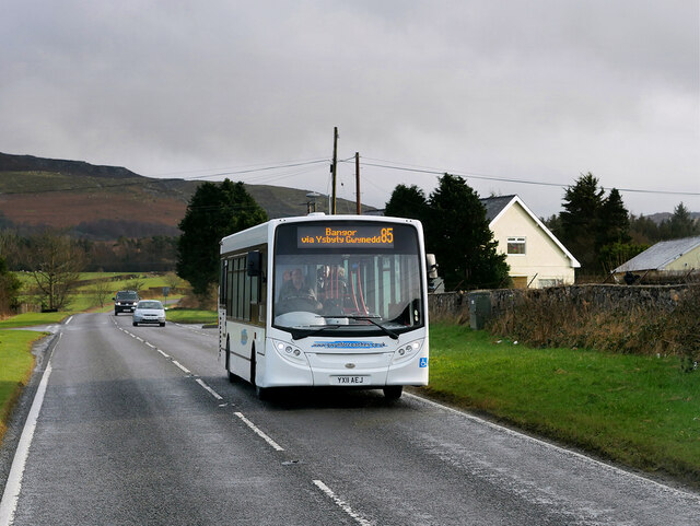
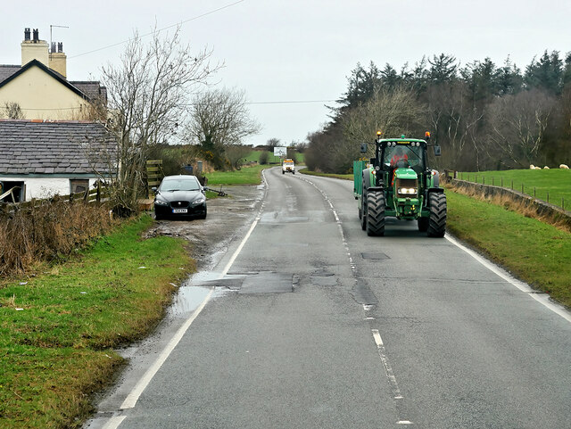
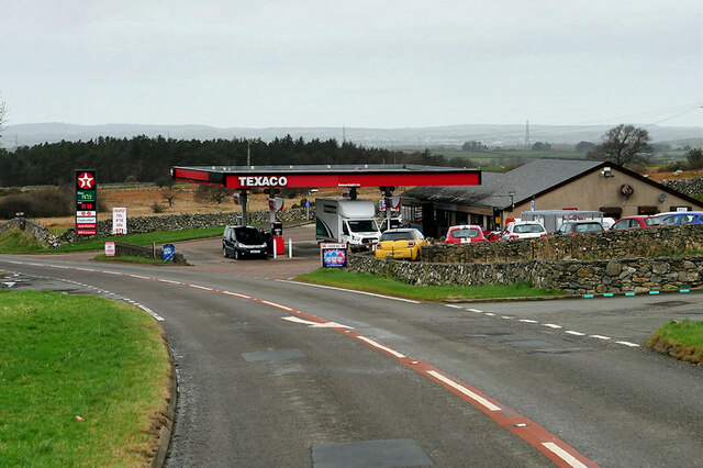
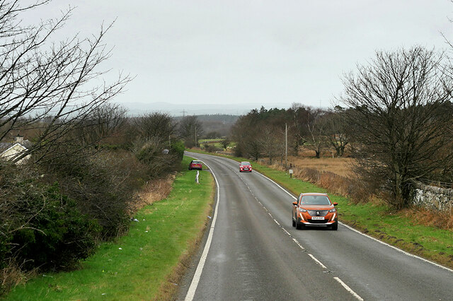
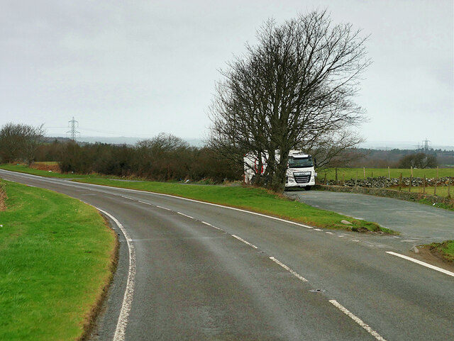
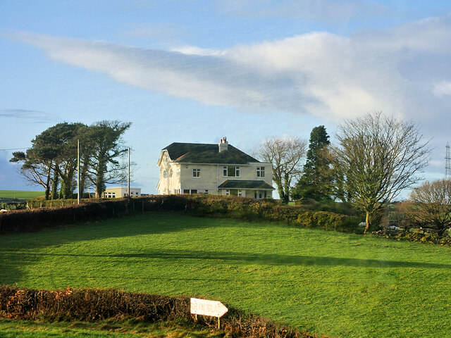
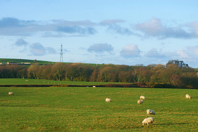
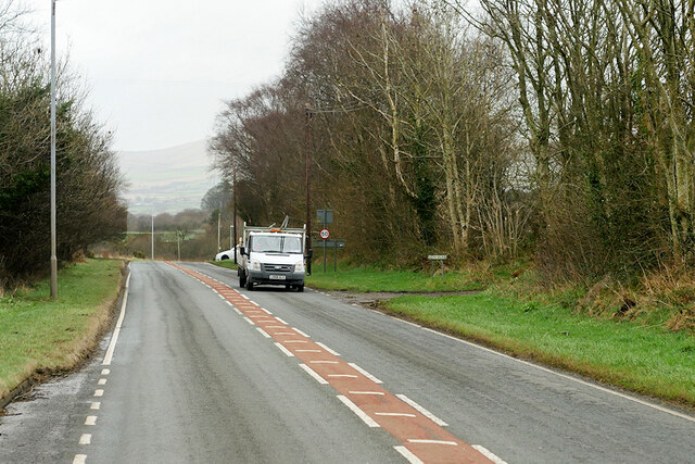
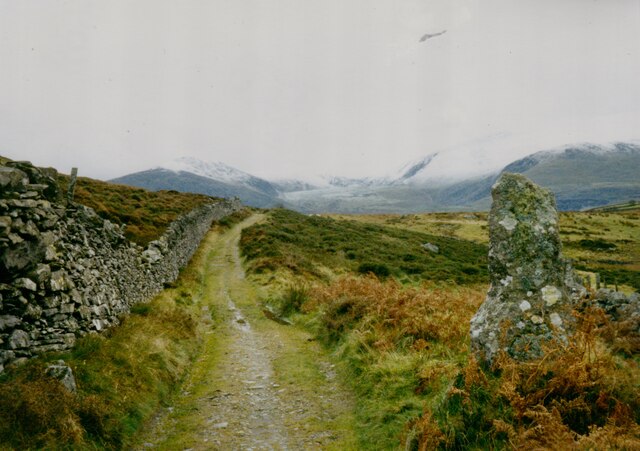
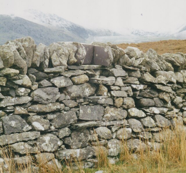
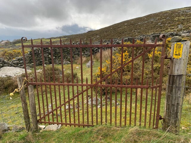
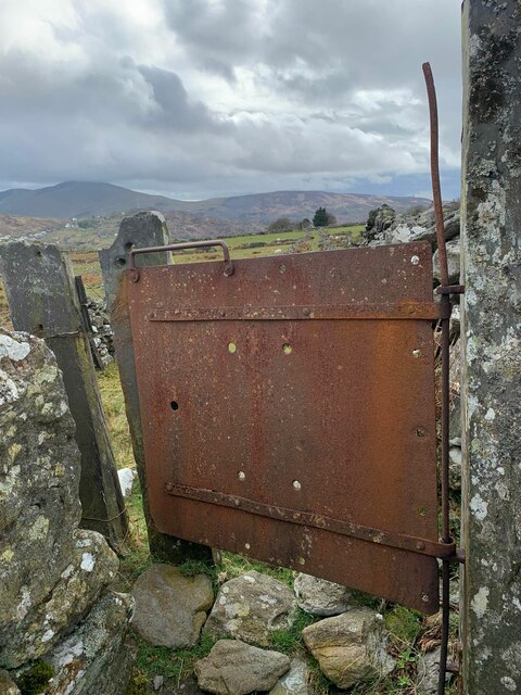
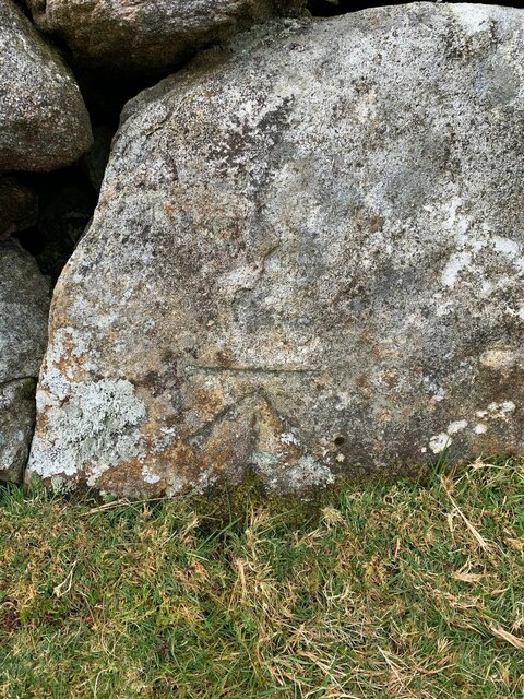
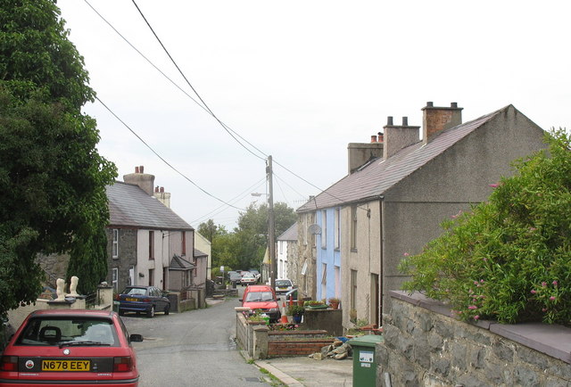
Coed Rhiwlas Images

Images are sourced within 2km of 53.166089/-4.1323842 or Grid Reference SH5765. Thanks to Geograph Open Source API. All images are credited.

Trackway Near Waun
Trackway Near Waun
A Neglected Stile
A Neglected Stile
Service Bus on the A4244 Gwynfor Coaches Alexander Dennis Enviro 200 Dart, YX11 AEJ on route number 85 towards Bangor. (A4244, Ynys lago bus stop).
Service Bus on the A4244
Gwynfor Coaches Alexander Dennis Enviro 200 Dart, YX11 AEJ on route number 85 towards Bangor. (A4244, Ynys lago bus stop).
Tractor passing Ty Mawr Cottage
Beran Service Station The A4244 is a relatively short (6½ miles) rural A-road in north Caernarfonshire. It connects the A5/A55 (near the Llys-y-gwynt junction) with the A4086 at Brynrefail, just outside Llanberis.
Beran Service Station
The A4244 is a relatively short (6½ miles) rural A-road in north Caernarfonshire. It connects the A5/A55 (near the Llys-y-gwynt junction) with the A4086 at Brynrefail, just outside Llanberis.
A4244 northbound The A4244 is a relatively short (6½ miles) rural A-road in north Caernarfonshire. It connects the A5/A55 (near the Llys-y-gwynt junction) with the A4086 at Brynrefail, just outside Llanberis.
A4244 northbound
The A4244 is a relatively short (6½ miles) rural A-road in north Caernarfonshire. It connects the A5/A55 (near the Llys-y-gwynt junction) with the A4086 at Brynrefail, just outside Llanberis.
Layby on the A4244 The A4244 is a relatively short (6½ miles) rural A-road in north Caernarfonshire. It connects the A5/A55 (near the Llys-y-gwynt junction) with the A4086 at Brynrefail, just outside Llanberis.
Layby on the A4244
The A4244 is a relatively short (6½ miles) rural A-road in north Caernarfonshire. It connects the A5/A55 (near the Llys-y-gwynt junction) with the A4086 at Brynrefail, just outside Llanberis.
Large House near to Pentir
Sheep Grazing near to Pentir
A4244, Pentir The A4244 is a relatively short (6½ miles) rural A-road in north Caernarfonshire. It connects the A5/A55 (near the Llys-y-gwynt junction) with the A4086 at Brynrefail, just outside Llanberis.
A4244, Pentir
The A4244 is a relatively short (6½ miles) rural A-road in north Caernarfonshire. It connects the A5/A55 (near the Llys-y-gwynt junction) with the A4086 at Brynrefail, just outside Llanberis.
A4244, Rhyd y groes Bus Stop The A4244 is a relatively short (6½ miles) rural A-road in north Caernarfonshire. It connects the A5/A55 (near the Llys-y-gwynt junction) with the A4086 at Brynrefail, just outside Llanberis.
A4244, Rhyd y groes Bus Stop
The A4244 is a relatively short (6½ miles) rural A-road in north Caernarfonshire. It connects the A5/A55 (near the Llys-y-gwynt junction) with the A4086 at Brynrefail, just outside Llanberis.
Former quarry-men's track over the flank of Moel y Ci This was used by quarrymen from Rhiwlas and Pentir districts to get to work at both the Penrhyn and Dinorwig Quarries.
Former quarry-men's track over the flank of Moel y Ci
This was used by quarrymen from Rhiwlas and Pentir districts to get to work at both the Penrhyn and Dinorwig Quarries.
Wall stile near Bwlch y Mawn The wall of the Marchlyn Mawr reservoir is visible in the background.
Wall stile near Bwlch y Mawn
The wall of the Marchlyn Mawr reservoir is visible in the background.
Rivet benchmark near Pen-y-bwlch, Mynydd Llandegai For more details see: <span class="nowrap"><a title="https://www.bench-marks.org.uk/bm114248" rel="nofollow ugc noopener" href="https://www.bench-marks.org.uk/bm114248">Link</a><img style="margin-left:2px;" alt="External link" title="External link - shift click to open in new window" src="https://s1.geograph.org.uk/img/external.png" width="10" height="10"/></span>
Rivet benchmark near Pen-y-bwlch, Mynydd Llandegai
For more details see: LinkExternal link
Gate into field and onto footpath, Deiniolen
Gate on footpath, Deiniolen
Benchmark at Parc Drysgol, Deiniolen For more details see: <span class="nowrap"><a title="https://www.bench-marks.org.uk/bm114246" rel="nofollow ugc noopener" href="https://www.bench-marks.org.uk/bm114246">Link</a><img style="margin-left:2px;" alt="External link" title="External link - shift click to open in new window" src="https://s1.geograph.org.uk/img/external.png" width="10" height="10"/></span>
Benchmark at Parc Drysgol, Deiniolen
For more details see: LinkExternal link
A4244 at crossroads near Carfan From Lay-by by phone box
A4244 at crossroads near Carfan
From Lay-by by phone box
Show me another place!

Coed Rhiwlas is located at Grid Ref: SH5765 (Lat: 53.166089, Lng: -4.1323842)

Unitary Authority: Gwynedd

Police Authority: North Wales

What 3 Words

///shapes.laminated.noon. Near Deiniolen, Gwynedd

Nearby Locations

Rhiwlas Coed Rhiwlas

Related Wikis

Aber Dinlle Fault

The Aber Dinlle Fault is a SW-NE trending fault in North Wales. It forms part of the Menai Strait Fault System, with the Berw and Dinorwic Faults. It lies...

Pentir

Pentir is a community and electoral ward in the county of Gwynedd, Wales, and is 124 miles (199.9 km) from Cardiff and 205 miles (329.4 km) from London...

Clwt-y-bont

Clwt-y-bont is a village in Gwynedd, Wales, lying just to the south of Deiniolen. The two villages form one urban unit. Both were built in the early 19th...

Deiniolen

Deiniolen (; Welsh: [dɛinɪˈɔlɛn]; ) is a village in Gwynedd, Wales, at the foot of Elidir Fawr, in Llanddeiniolen Community. Deiniolen has views over Caernarfon...

Nearby Amenities

Located within 500m of 53.166089,-4.1323842
Direction: 190
Generator Method: photovoltaic
Generator Output Electricity: yes
Generator Solar Modules: 17
Generator Source: solar
Generator Type: solar_photovoltaic_panel
Location: roof
Power: generator
Lat/Long: 53.1698072/-4.1293681
Direction: 150
Generator Method: photovoltaic
Generator Output Electricity: yes
Generator Solar Modules: 11
Generator Source: solar
Generator Type: solar_photovoltaic_panel
Location: roof
Power: generator
Lat/Long: 53.1701223/-4.129183
Direction: SSE
Fixme: possibly solar hotwater
Generator Method: photovoltaic
Generator Output Electricity: yes
Generator Solar Modules: 6
Generator Source: solar
Generator Type: solar_photovoltaic_panel
Location: roof
Power: generator
Lat/Long: 53.1643756/-4.1268548
Direction: SSE
Generator Method: photovoltaic
Generator Output Electricity: yes
Generator Solar Modules: 17
Generator Source: solar
Generator Type: solar_photovoltaic_panel
Location: roof
Power: generator
Lat/Long: 53.1643482/-4.1270493
The data included in this document is from www.openstreetmap.org. The data is made available under ODbL.

Have you been to Coed Rhiwlas?

Leave your review of Coed Rhiwlas below (or comments, questions and feedback).