Coed Castell

Wood, Forest in Caernarfonshire

Wales

Coed Castell

Trackway Near Waun
Trackway Near Waun Credit: Chris Andrews

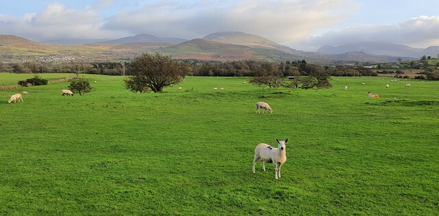
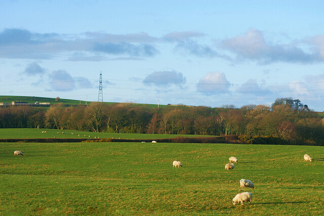
Coed Castell, located in Caernarfonshire, Wales, is a picturesque woodland area known for its natural beauty and historical significance. Covering an area of approximately 200 acres, this enchanting forest is nestled between the magnificent Snowdonia mountains and the stunning Menai Strait.

The name "Coed Castell" translates to "Wood Castle" in English, a nod to the ancient fortifications that once stood within its boundaries. These remnants of an Iron Age hillfort can still be seen today, adding a touch of mystery and intrigue to the area.

The forest itself is a haven for nature enthusiasts and outdoor adventurers alike. Visitors can explore its extensive network of walking trails, which wind through towering oak, beech, and birch trees. The forest floor is adorned with a carpet of wildflowers, creating a vibrant and colorful landscape during the spring and summer months.

Coed Castell is also home to a diverse range of wildlife, including red squirrels, badgers, and a variety of bird species. Birdwatchers can spot rare species such as ospreys and peregrine falcons, making it a popular destination for ornithologists.

For those seeking a more immersive experience, there are camping facilities available within the forest, allowing visitors to truly connect with nature. Additionally, guided tours and educational programs are offered to provide insights into the history and ecology of the area.

Overall, Coed Castell offers a unique blend of natural beauty, historical significance, and outdoor activities, making it a must-visit destination for anyone exploring Caernarfonshire.

If you have any feedback on the listing, please let us know in the comments section below.
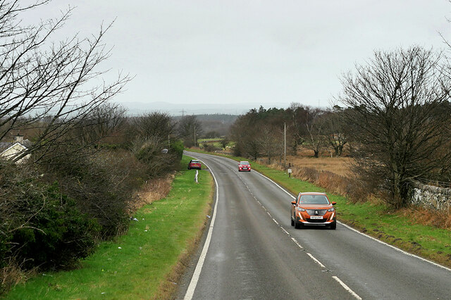
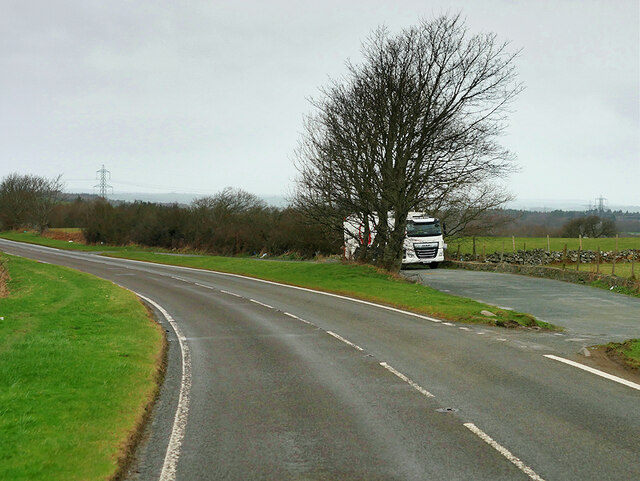
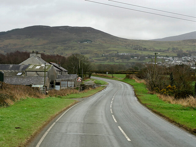
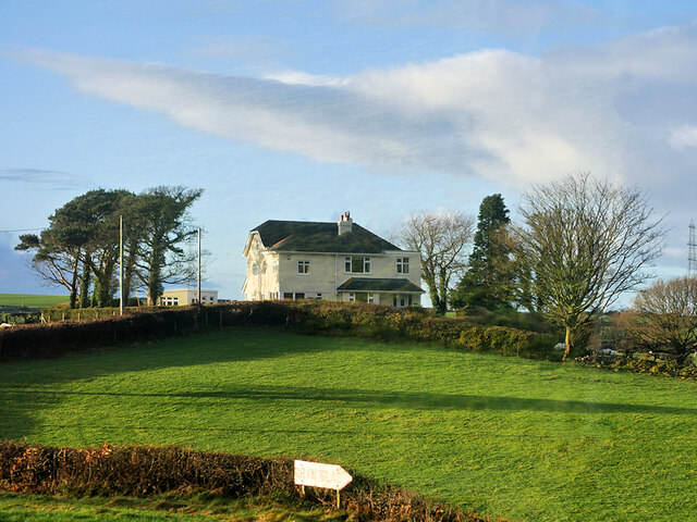
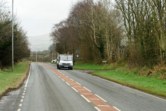
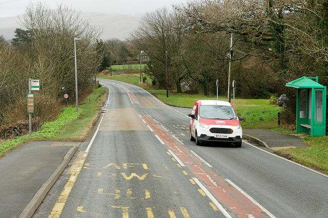
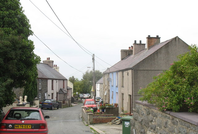
Coed Castell Images

Images are sourced within 2km of 53.166363/-4.1421523 or Grid Reference SH5665. Thanks to Geograph Open Source API. All images are credited.

Trackway Near Waun
Trackway Near Waun
A Neglected Stile
A Neglected Stile
Llanddeiniolen, Gwynedd Sheep grazing on pasture land to the east of Llanddeiniolen and to the south of Snowdonia, which can be seen in the distance.
Llanddeiniolen, Gwynedd
Sheep grazing on pasture land to the east of Llanddeiniolen and to the south of Snowdonia, which can be seen in the distance.
Field of sheep at Tyddin Hendre A field of sheep at Tyddin Hendre farm near Penisa'r Waun.
Field of sheep at Tyddin Hendre
A field of sheep at Tyddin Hendre farm near Penisa'r Waun.
Service Bus on the A4244 Gwynfor Coaches Alexander Dennis Enviro 200 Dart, YX11 AEJ on route number 85 towards Bangor. (A4244, Ynys lago bus stop).
Service Bus on the A4244
Gwynfor Coaches Alexander Dennis Enviro 200 Dart, YX11 AEJ on route number 85 towards Bangor. (A4244, Ynys lago bus stop).
Tractor passing Ty Mawr Cottage
Beran Service Station The A4244 is a relatively short (6½ miles) rural A-road in north Caernarfonshire. It connects the A5/A55 (near the Llys-y-gwynt junction) with the A4086 at Brynrefail, just outside Llanberis.
Beran Service Station
The A4244 is a relatively short (6½ miles) rural A-road in north Caernarfonshire. It connects the A5/A55 (near the Llys-y-gwynt junction) with the A4086 at Brynrefail, just outside Llanberis.
A4244 northbound The A4244 is a relatively short (6½ miles) rural A-road in north Caernarfonshire. It connects the A5/A55 (near the Llys-y-gwynt junction) with the A4086 at Brynrefail, just outside Llanberis.
A4244 northbound
The A4244 is a relatively short (6½ miles) rural A-road in north Caernarfonshire. It connects the A5/A55 (near the Llys-y-gwynt junction) with the A4086 at Brynrefail, just outside Llanberis.
Layby on the A4244 The A4244 is a relatively short (6½ miles) rural A-road in north Caernarfonshire. It connects the A5/A55 (near the Llys-y-gwynt junction) with the A4086 at Brynrefail, just outside Llanberis.
Layby on the A4244
The A4244 is a relatively short (6½ miles) rural A-road in north Caernarfonshire. It connects the A5/A55 (near the Llys-y-gwynt junction) with the A4086 at Brynrefail, just outside Llanberis.
A4244, Glanrhyd
A4244, Glanrhyd
Large House near to Pentir
Sheep Grazing near to Pentir
A4244, Pentir The A4244 is a relatively short (6½ miles) rural A-road in north Caernarfonshire. It connects the A5/A55 (near the Llys-y-gwynt junction) with the A4086 at Brynrefail, just outside Llanberis.
A4244, Pentir
The A4244 is a relatively short (6½ miles) rural A-road in north Caernarfonshire. It connects the A5/A55 (near the Llys-y-gwynt junction) with the A4086 at Brynrefail, just outside Llanberis.
A4244, Rhyd y groes Bus Stop The A4244 is a relatively short (6½ miles) rural A-road in north Caernarfonshire. It connects the A5/A55 (near the Llys-y-gwynt junction) with the A4086 at Brynrefail, just outside Llanberis.
A4244, Rhyd y groes Bus Stop
The A4244 is a relatively short (6½ miles) rural A-road in north Caernarfonshire. It connects the A5/A55 (near the Llys-y-gwynt junction) with the A4086 at Brynrefail, just outside Llanberis.
A4244 at crossroads near Carfan From Lay-by by phone box
A4244 at crossroads near Carfan
From Lay-by by phone box
A4244 looking west from Carfan cross roads Features power lines crossing road. From layby by phone box
A4244 looking west from Carfan cross roads
Features power lines crossing road. From layby by phone box
Rivet benchmark on Pont Y Felin, Pentir This rivet benchmark is located on the W parapet of Pont Felin in Pentir and it is shown in the current Ordnance Survey database at a height of 97.2952m  above the Newlyn datum.
Rivet benchmark on Pont Y Felin, Pentir
This rivet benchmark is located on the W parapet of Pont Felin in Pentir and it is shown in the current Ordnance Survey database at a height of 97.2952m above the Newlyn datum.
St. Cedol's Church, Pentir
Show me another place!

Coed Castell is located at Grid Ref: SH5665 (Lat: 53.166363, Lng: -4.1421523)

Unitary Authority: Gwynedd

Police Authority: North Wales

What 3 Words

///finders.alpha.scooped. Near Deiniolen, Gwynedd

Related Wikis

Pentir

Pentir is a community and electoral ward in the county of Gwynedd, Wales, and is 124 miles (199.9 km) from Cardiff and 205 miles (329.4 km) from London...

Aber Dinlle Fault

The Aber Dinlle Fault is a SW-NE trending fault in North Wales. It forms part of the Menai Strait Fault System, with the Berw and Dinorwic Faults. It lies...

Penisa'r Waun

Penisa'r-waun is a small village which is located 4 miles to the east of Caernarfon and a mile to the northeast of Llanrug on the A4547 in Gwynedd, north...

Llanddeiniolen

Llanddeiniolen (Welsh: [ɬanðɛinɪˈɔlɛn]; ) is the name of a community area, in the county of Gwynedd, Wales, and is 124 miles (200 km) from Cardiff and...

Clwt-y-bont

Clwt-y-bont is a village in Gwynedd, Wales, lying just to the south of Deiniolen. The two villages form one urban unit. Both were built in the early 19th...

Deiniolen

Deiniolen (; Welsh: [dɛinɪˈɔlɛn]; ) is a village in Gwynedd, Wales, at the foot of Elidir Fawr, in Llanddeiniolen Community. Deiniolen has views over Caernarfon...

Afon Rhythallt

The River Rhythallt (Welsh: Afon Rhythallt) is a river in Gwynedd, North Wales whose source is Llyn Padarn. It flows in a northwesterly direction past...

Brynrefail, Gwynedd

Brynrefail () is a small village in Gwynedd, Wales which straddles the A4244 road roughly between Deiniolen and Llanberis. The village is in the Arfon...

Nearby Amenities

Located within 500m of 53.166363,-4.1421523
Power: pole
Lat/Long: 53.1694767/-4.1462614
Power: pole
Lat/Long: 53.1696133/-4.1445019
Site of RAF No.31 MSU
Historic: military
Lat/Long: 53.1638964/-4.1390034
Power: pole
Lat/Long: 53.1693272/-4.1427843
Barrier: kissing_gate
Foot: yes
Lat/Long: 53.1659757/-4.1489481
Barrier: kissing_gate
Foot: yes
Lat/Long: 53.1659427/-4.1489925
Power: pole
Lat/Long: 53.1688295/-4.1410493
Power: pole
Lat/Long: 53.1684179/-4.1413176
Power: pole
Lat/Long: 53.168541/-4.1486344
Power: pole
Lat/Long: 53.1677001/-4.1485137
Power: pole
Lat/Long: 53.167237/-4.1486478
Power: pole
Lat/Long: 53.1668173/-4.148798
The data included in this document is from www.openstreetmap.org. The data is made available under ODbL.

Have you been to Coed Castell?

Leave your review of Coed Castell below (or comments, questions and feedback).