Beddgelert Forest
Wood, Forest in Caernarfonshire
Wales
Beddgelert Forest

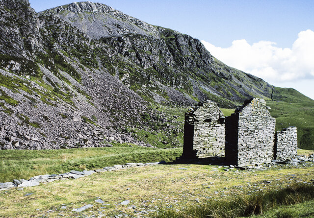
Beddgelert Forest, located in Caernarfonshire, Wales, is a picturesque woodland area covering approximately 700 hectares. Nestled within the Snowdonia National Park, this enchanting forest offers visitors a peaceful retreat with its diverse range of natural beauty and recreational opportunities.
The forest is predominantly composed of coniferous trees, including Douglas fir, Sitka spruce, and Scots pine, which create a dense and lush canopy overhead. The undergrowth is adorned with a variety of wildflowers and ferns, adding to the forest's charm. Several streams flow through the woodland, providing a serene atmosphere and adding to the overall tranquility of the area.
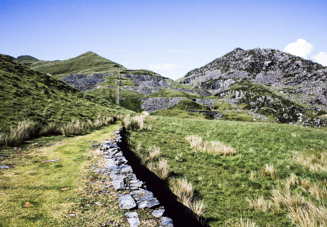
Walking trails crisscross through Beddgelert Forest, offering visitors the chance to explore its natural wonders. These trails cater to all levels of fitness, from easy strolls to more challenging hikes. Along the way, visitors may encounter a diverse range of wildlife, including red squirrels, otters, and a variety of bird species. The forest also boasts two beautiful lakes, Llyn Llewelyn and Llyn Dinas, which are perfect for fishing and boating activities.
For those seeking an adrenaline rush, Beddgelert Forest offers mountain biking trails that cater to both beginners and experienced riders. These well-maintained trails wind through the forest, providing stunning views of the surrounding mountains and valleys.
Overall, Beddgelert Forest is a must-visit destination for nature enthusiasts and outdoor adventurers. Its breathtaking landscapes, diverse flora and fauna, and recreational activities make it a truly remarkable place to explore and connect with nature.
If you have any feedback on the listing, please let us know in the comments section below.
Beddgelert Forest Images
Images are sourced within 2km of 53.033243/-4.1458221 or Grid Reference SH5650. Thanks to Geograph Open Source API. All images are credited.


Beddgelert Forest is located at Grid Ref: SH5650 (Lat: 53.033243, Lng: -4.1458221)
Unitary Authority: Gwynedd
Police Authority: North Wales
What 3 Words
///adopters.soda.daring. Near Talysarn, Gwynedd
Nearby Locations
Related Wikis
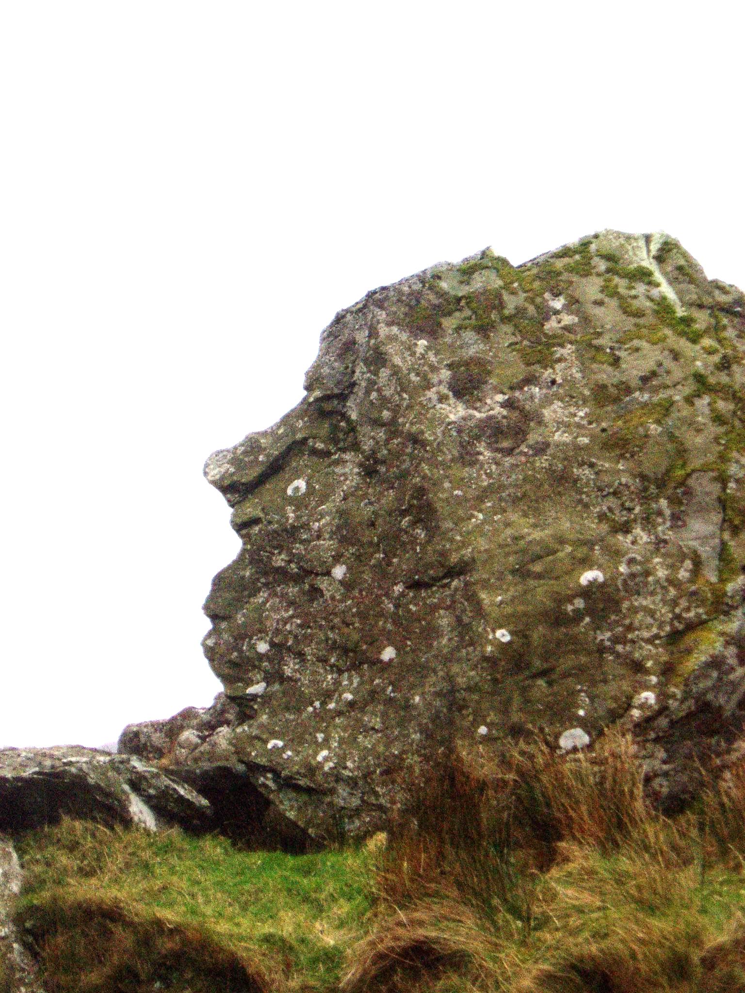
Pitt's Head
Pitt's Head (Welsh: Carreg Collwyn) is a distinctive rock located at grid reference SH576515, close to the A4085 road in Gwynedd, Wales. Its distinction...

Pitt's Head railway station
Pitt's Head railway station co-served the village of Rhyd-ddu, Gwynedd, Wales, from 1923 to 1936 on the Welsh Highland Railway. == History == The station...

Mynydd Drws-y-Coed
Mynydd Drws-y-Coed is a peak on the Nantlle Ridge in Snowdonia, north Wales. It is located at the easterly end of the ridge, and is a subsidiary summit...
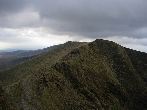
Trum y Ddysgl
Trum y Ddysgl is a mountain in Snowdonia, north Wales and is the second highest summit on the celebrated Nantlle Ridge. It is also one half of the two...
Nearby Amenities
Located within 500m of 53.033243,-4.1458221Have you been to Beddgelert Forest?
Leave your review of Beddgelert Forest below (or comments, questions and feedback).