Coed Glan-rhyd

Wood, Forest in Caernarfonshire

Wales

Coed Glan-rhyd

St Deiniol's Church, Llanddeiniolen
St Deiniol's Church, Llanddeiniolen Credit: Chris Andrews

Coed Glan-rhyd, located in Caernarfonshire, is a picturesque woodland area known for its natural beauty and rich biodiversity. The name "Coed Glan-rhyd" translates to "Wood, Forest" in English, which aptly describes the area's main feature.

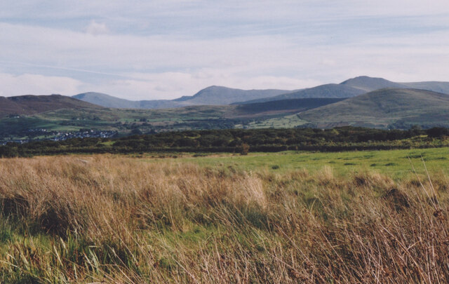
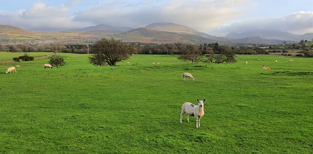
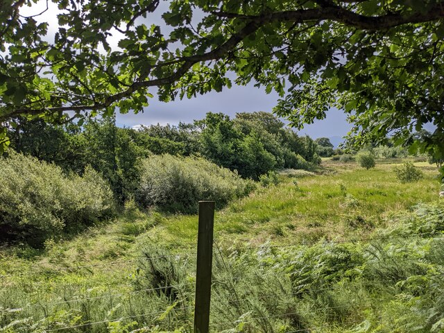
Covering a vast expanse of land, Coed Glan-rhyd is home to a diverse range of flora and fauna, making it an important ecological site. The woodland is primarily composed of native tree species such as oak, beech, and birch, creating a vibrant and lush environment. These trees provide a habitat for numerous bird species, including woodpeckers, owls, and various songbirds.

Additionally, Coed Glan-rhyd is crisscrossed by a network of walking trails, allowing visitors to explore the beauty of the woodland at their own pace. These paths wind through the trees, providing glimpses of babbling streams and peaceful clearings along the way. Nature enthusiasts and hikers alike can enjoy the tranquility of the surroundings, immersing themselves in the sights and sounds of the forest.

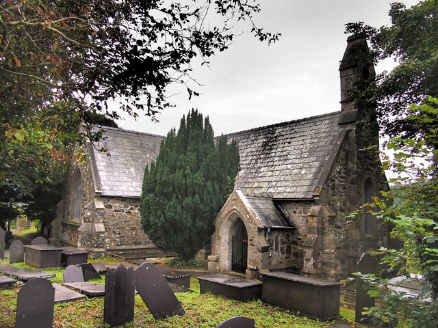
The woodland also holds historical significance, with remnants of ancient settlements and archaeological sites scattered throughout. These traces provide insights into the area's human history and offer a glimpse into the lives of those who once inhabited the region.

Coed Glan-rhyd is a cherished natural gem, attracting visitors from near and far who appreciate its natural splendor and recreational opportunities. Whether one seeks solace in nature, wishes to study the local wildlife, or simply desires a peaceful walk in the woods, Coed Glan-rhyd offers a captivating experience for all.

If you have any feedback on the listing, please let us know in the comments section below.

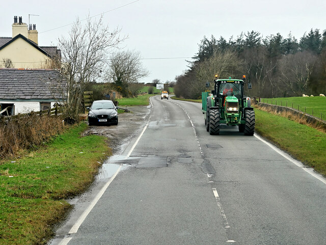
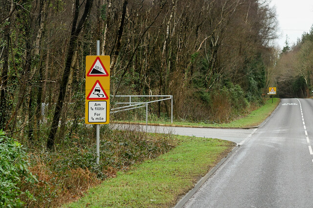
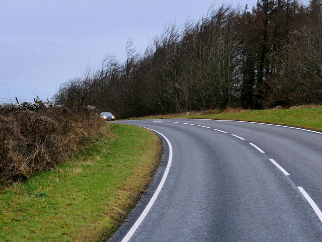
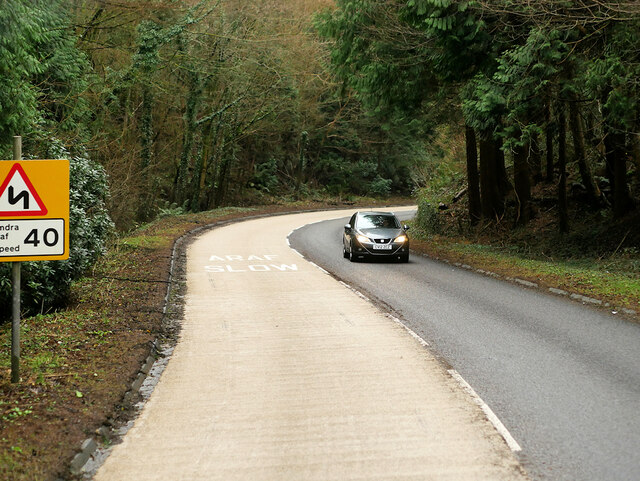
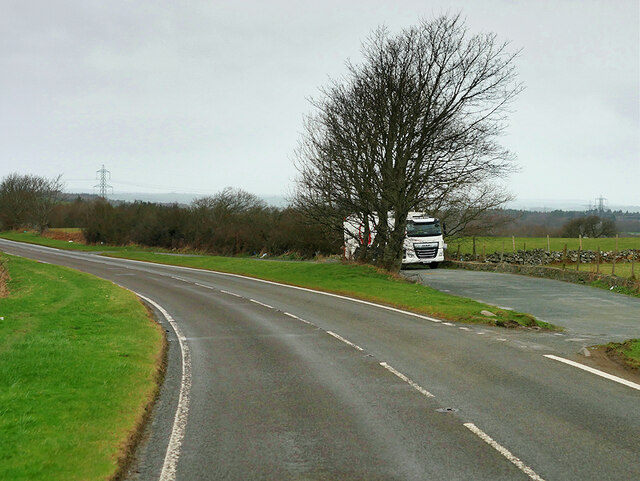
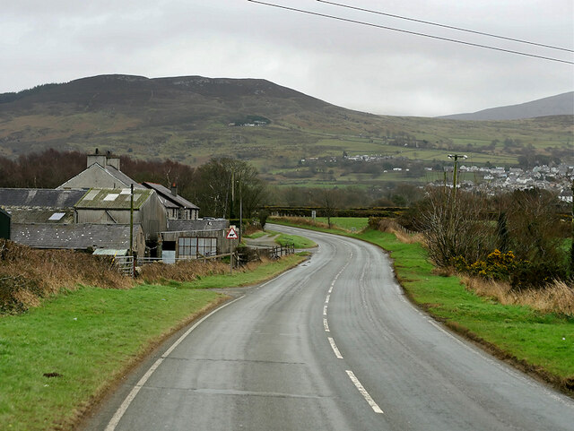
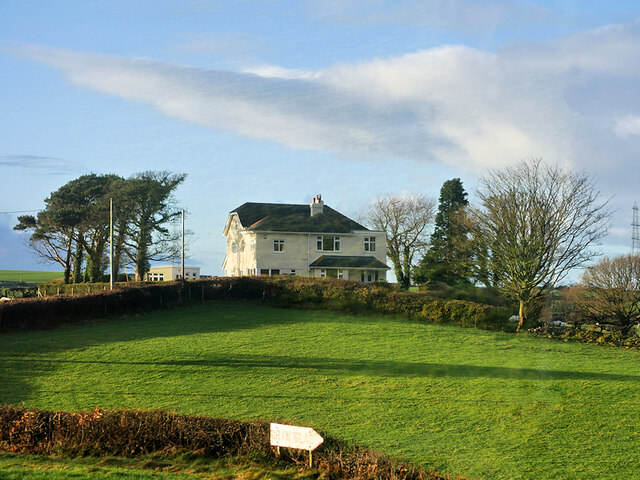
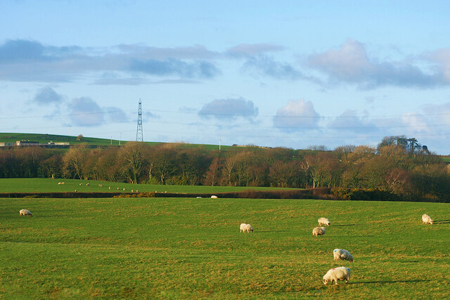
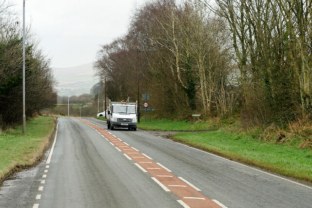
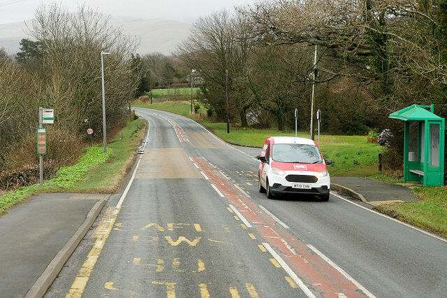
Coed Glan-rhyd Images

Images are sourced within 2km of 53.178062/-4.1540189 or Grid Reference SH5666. Thanks to Geograph Open Source API. All images are credited.

St Deiniol's Church, Llanddeiniolen
Trackway Near Waun
Trackway Near Waun
A Neglected Stile
A Neglected Stile
Wetland at Llanddeiniolen The Carneddau form the background.
Wetland at Llanddeiniolen
The Carneddau form the background.
Llanddeiniolen, Gwynedd Sheep grazing on pasture land to the east of Llanddeiniolen and to the south of Snowdonia, which can be seen in the distance.
Llanddeiniolen, Gwynedd
Sheep grazing on pasture land to the east of Llanddeiniolen and to the south of Snowdonia, which can be seen in the distance.
Service Bus on the A4244 Gwynfor Coaches Alexander Dennis Enviro 200 Dart, YX11 AEJ on route number 85 towards Bangor. (A4244, Ynys lago bus stop).
Service Bus on the A4244
Gwynfor Coaches Alexander Dennis Enviro 200 Dart, YX11 AEJ on route number 85 towards Bangor. (A4244, Ynys lago bus stop).
Tractor passing Ty Mawr Cottage
B4547 near Tyddyn-Forgan
B4547 near Coed Ty'n-llwyn
Bends on the B4547
Bends on the B4547
Layby on the A4244 The A4244 is a relatively short (6½ miles) rural A-road in north Caernarfonshire. It connects the A5/A55 (near the Llys-y-gwynt junction) with the A4086 at Brynrefail, just outside Llanberis.
Layby on the A4244
The A4244 is a relatively short (6½ miles) rural A-road in north Caernarfonshire. It connects the A5/A55 (near the Llys-y-gwynt junction) with the A4086 at Brynrefail, just outside Llanberis.
A4244, Glanrhyd
A4244, Glanrhyd
Large House near to Pentir
Sheep Grazing near to Pentir
A4244, Pentir The A4244 is a relatively short (6½ miles) rural A-road in north Caernarfonshire. It connects the A5/A55 (near the Llys-y-gwynt junction) with the A4086 at Brynrefail, just outside Llanberis.
A4244, Pentir
The A4244 is a relatively short (6½ miles) rural A-road in north Caernarfonshire. It connects the A5/A55 (near the Llys-y-gwynt junction) with the A4086 at Brynrefail, just outside Llanberis.
A4244, Rhyd y groes Bus Stop The A4244 is a relatively short (6½ miles) rural A-road in north Caernarfonshire. It connects the A5/A55 (near the Llys-y-gwynt junction) with the A4086 at Brynrefail, just outside Llanberis.
A4244, Rhyd y groes Bus Stop
The A4244 is a relatively short (6½ miles) rural A-road in north Caernarfonshire. It connects the A5/A55 (near the Llys-y-gwynt junction) with the A4086 at Brynrefail, just outside Llanberis.
The Gors Bach Inn at Llanddeiniolen The appearance, signage and road layout have changed since 2005 and 2008. See: <a title="https://www.geograph.org.uk/photo/39549" href="https://www.geograph.org.uk/photo/39549">Link</a> and <a title="https://www.geograph.org.uk/photo/808514" href="https://www.geograph.org.uk/photo/808514">Link</a>
The Gors Bach Inn at Llanddeiniolen
The appearance, signage and road layout have changed since 2005 and 2008. See: Link and Link
Rough ground and bushes near Garth Farm
Show me another place!

Coed Glan-rhyd is located at Grid Ref: SH5666 (Lat: 53.178062, Lng: -4.1540189)

Unitary Authority: Gwynedd

Police Authority: North Wales

What 3 Words

///emotional.slouched.reward. Near Y Felinheli, Gwynedd

Related Wikis

Pentir

Pentir is a community and electoral ward in the county of Gwynedd, Wales, and is 124 miles (199.9 km) from Cardiff and 205 miles (329.4 km) from London...

Llanddeiniolen

Llanddeiniolen (Welsh: [ɬanðɛinɪˈɔlɛn]; ) is the name of a community area, in the county of Gwynedd, Wales, and is 124 miles (200 km) from Cardiff and...

Aber Dinlle Fault

The Aber Dinlle Fault is a SW-NE trending fault in North Wales. It forms part of the Menai Strait Fault System, with the Berw and Dinorwic Faults. It lies...

GreenWood

GreenWood (Welsh: Gelli Gyffwrdd), formerly GreenWood Forest Park and The GreenWood Centre, is a family fun park at Y Felinheli in Gwynedd, Wales. The...

Nearby Amenities

Located within 500m of 53.178062,-4.1540189
Power: tower
Lat/Long: 53.1779779/-4.1524838
Power: tower
Lat/Long: 53.182068/-4.1551204
Power: tower
Lat/Long: 53.1757646/-4.1532445
Power: tower
Lat/Long: 53.1742295/-4.153773
Power: tower
Lat/Long: 53.1800807/-4.1538659
Location Transition: yes
Power: tower
Lat/Long: 53.1772595/-4.1572981
Power: tower
Lat/Long: 53.1758521/-4.1591462
Power: pole
Lat/Long: 53.1751035/-4.1571525
Power: pole
Lat/Long: 53.1750565/-4.158309
Power: pole
Lat/Long: 53.1756776/-4.1535386
Power: pole
Lat/Long: 53.17538/-4.1548914
Power: pole
Lat/Long: 53.1750179/-4.1593793
Power: pole
Lat/Long: 53.1755324/-4.1542133
Power: pole
Lat/Long: 53.1755161/-4.152555
Material: wood
Power: pole
Lat/Long: 53.1751533/-4.1559079
Power: pole
Lat/Long: 53.1753522/-4.1505198
Power: pole
Lat/Long: 53.176518/-4.148086
Power: pole
Lat/Long: 53.1753151/-4.151497
Power: pole
Lat/Long: 53.1759278/-4.1488897
Power: pole
Lat/Long: 53.1780295/-4.14976
Power: pole
Lat/Long: 53.1776478/-4.1485893
Power: pole
Lat/Long: 53.1772061/-4.1472632
Power: pole
Lat/Long: 53.1783027/-4.1505906
Power: pole
Lat/Long: 53.1786182/-4.1515378
Power: pole
Lat/Long: 53.1791177/-4.1523997
Power: pole
Lat/Long: 53.1793601/-4.1528367
Power: pole
Lat/Long: 53.1792322/-4.1515846
Power: pole
Lat/Long: 53.1789715/-4.1514403
Power: pole
Lat/Long: 53.1796231/-4.1542946
Power: pole
Lat/Long: 53.1796427/-4.1555835
Material: wood
Power: pole
Lat/Long: 53.1794216/-4.1579045
Power: pole
Lat/Long: 53.1795391/-4.156716
The data included in this document is from www.openstreetmap.org. The data is made available under ODbL.

Have you been to Coed Glan-rhyd?

Leave your review of Coed Glan-rhyd below (or comments, questions and feedback).