Allt Gôch

Wood, Forest in Cardiganshire

Wales

Allt Gôch

Old Milestone by the B4337 at Trychrug Aberystwyth tombstone by the B4337, in parish of Ciliau Aeron (Ceredigion District), Rhiwlas Uchaf, North of Trychrug, near Rhiwlas Uchaf. Damaged.

Inscription once read:-
(Aberystwyth)
(15)
(Miles)
(Lampeter)
(9)
Rivet benchmark on top.

Grade II listed by Cadw.
Reference Number: 17535 <span class="nowrap"><a title="https://cadwpublic-api.azurewebsites.net/reports/listedbuilding/FullReport?lang=&id=17535" rel="nofollow ugc noopener" href="https://cadwpublic-api.azurewebsites.net/reports/listedbuilding/FullReport?lang=&id=17535">Link</a><img style="margin-left:2px;" alt="External link" title="External link - shift click to open in new window" src="https://s1.geograph.org.uk/img/external.png" width="10" height="10"/></span>

Surveyed

Milestone Society National ID: CRD_AYLP15
Old Milestone by the B4337 at Trychrug Credit: Milestone Society

Allt Gôch is a picturesque woodland located in Cardiganshire, Wales. Covering an area of approximately 100 hectares, it is a natural treasure renowned for its breathtaking beauty and diverse ecosystem. The woodland is situated at an elevation of around 200 meters, providing visitors with stunning panoramic views of the surrounding countryside.

The woods are predominantly composed of native broadleaf trees, including oak, ash, beech, and birch. These trees provide a haven for a variety of wildlife, making Allt Gôch a popular destination for nature enthusiasts and birdwatchers. Visitors may catch a glimpse of rare species such as red kites, buzzards, and peregrine falcons soaring above the treetops.

The woodland is crisscrossed by a network of well-maintained footpaths, allowing visitors to explore its enchanting beauty on foot. The paths wind their way through the woods, leading to tranquil streams, hidden waterfalls, and vibrant wildflower meadows. Along the way, visitors may encounter ancient ruins and archaeological sites, providing a glimpse into the area's rich history.

Allt Gôch is not only a haven for wildlife and nature lovers but also offers recreational activities for all ages. Visitors can enjoy picnicking in designated areas, cycling along the forest trails, or simply immersing themselves in the peaceful ambiance of the woods. The woodland is open to the public year-round, with the changing seasons offering a unique experience each time.

In summary, Allt Gôch in Cardiganshire is a captivating woodland, rich in biodiversity and natural beauty. With its stunning landscapes, diverse wildlife, and recreational opportunities, it is a must-visit destination for anyone seeking a peaceful escape in the heart of Wales.

If you have any feedback on the listing, please let us know in the comments section below.
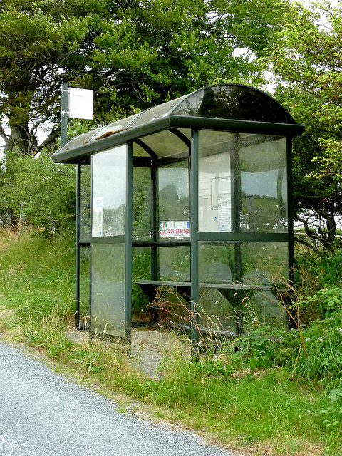
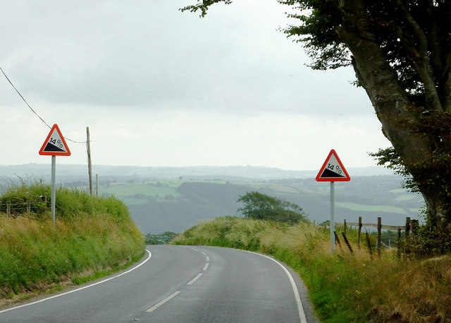
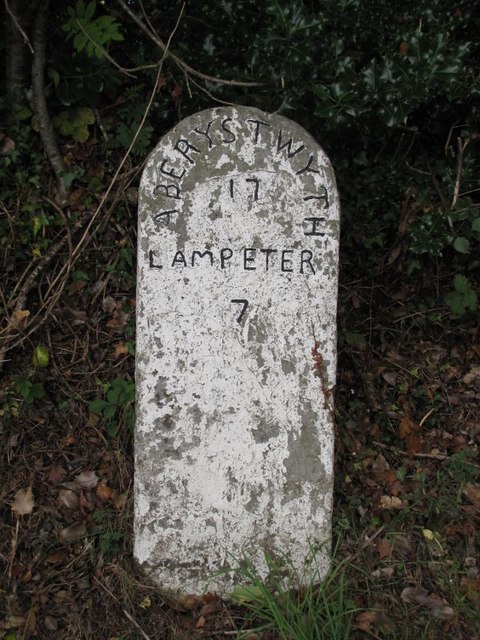
Allt Gôch Images

Images are sourced within 2km of 52.211389/-4.1131822 or Grid Reference SN5559. Thanks to Geograph Open Source API. All images are credited.

Old Milestone by the B4337 at Trychrug Aberystwyth tombstone by the B4337, in parish of Ciliau Aeron (Ceredigion District), Rhiwlas Uchaf, North of Trychrug, near Rhiwlas Uchaf. Damaged.

Inscription once read:-
(Aberystwyth)
(15)
(Miles)
(Lampeter)
(9)
Rivet benchmark on top.

Grade II listed by Cadw.
Reference Number: 17535 <span class="nowrap"><a title="https://cadwpublic-api.azurewebsites.net/reports/listedbuilding/FullReport?lang=&id=17535" rel="nofollow ugc noopener" href="https://cadwpublic-api.azurewebsites.net/reports/listedbuilding/FullReport?lang=&id=17535">Link</a><img style="margin-left:2px;" alt="External link" title="External link - shift click to open in new window" src="https://s1.geograph.org.uk/img/external.png" width="10" height="10"/></span>

Surveyed

Milestone Society National ID: CRD_AYLP15
Old Milestone by the B4337 at Trychrug
Aberystwyth tombstone by the B4337, in parish of Ciliau Aeron (Ceredigion District), Rhiwlas Uchaf, North of Trychrug, near Rhiwlas Uchaf. Damaged. Inscription once read:- (Aberystwyth) (15) (Miles) (Lampeter) (9) Rivet benchmark on top. Grade II listed by Cadw. Reference Number: 17535 LinkExternal link Surveyed Milestone Society National ID: CRD_AYLP15
Tuag at / Towards Trichrug Cerddwyr ar lethrau uwch bryn o'r enw Trichrug. 

Walkers on the upper slopes of a hill known as Trichrug (trans. three barrows).
Tuag at / Towards Trichrug
Cerddwyr ar lethrau uwch bryn o'r enw Trichrug. Walkers on the upper slopes of a hill known as Trichrug (trans. three barrows).
Trichrug Cerddwyr yn dilyn llwybr cyhoeddus drwy goedwigoedd coniferaidd cwympedig ar fryn a elwir Trichrug.

Walkers following a public footpath at a felled conifer plantation on as hill known as Trichrug (trans. three barrows).
Trichrug
Cerddwyr yn dilyn llwybr cyhoeddus drwy goedwigoedd coniferaidd cwympedig ar fryn a elwir Trichrug. Walkers following a public footpath at a felled conifer plantation on as hill known as Trichrug (trans. three barrows).
Daffodils, Forest and Triangulation Pillar at Trychrug Looking northward.
Daffodils, Forest and Triangulation Pillar at Trychrug
Looking northward.
Milestone - Aberystwyth 16
Forest and valley north of Trefilan in Ceredigion From the lane near Penlan House, this view is south-east across the forest lining Nant Rhiwafallen towards the Afon Aeron Valley near Abermeurig.
Forest and valley north of Trefilan in Ceredigion
From the lane near Penlan House, this view is south-east across the forest lining Nant Rhiwafallen towards the Afon Aeron Valley near Abermeurig.
Road junction north of Tal-sarn in Ceredigion A minor lane joins the B4337 about a mile and a half north of Tal-sarn.
Road junction north of Tal-sarn in Ceredigion
A minor lane joins the B4337 about a mile and a half north of Tal-sarn.
The B4337 descending to Tal-sarn in Ceredigion The dwelling on the left is shown on maps as Penlan House.
The B4337 descending to Tal-sarn in Ceredigion
The dwelling on the left is shown on maps as Penlan House.
Bus shelter north of Tal-sarn in Ceredigion I'm not sure whether bus routes 582 or 584 still operate here. Perhaps someone local can let me know.
Bus shelter north of Tal-sarn in Ceredigion
I'm not sure whether bus routes 582 or 584 still operate here. Perhaps someone local can let me know.
Hill pasture north of Tal-sarn in Ceredigion Looking across the valley of Nant Rhiwafallen towards the wider Afon Aeron valley near Abermeurig.
Hill pasture north of Tal-sarn in Ceredigion
Looking across the valley of Nant Rhiwafallen towards the wider Afon Aeron valley near Abermeurig.
Pasture north of Tal-sarn in Ceredigion Looking across the valley of Nant Rhiwafallen towards the wider Afon Aeron valley near Abermeurig.
Pasture north of Tal-sarn in Ceredigion
Looking across the valley of Nant Rhiwafallen towards the wider Afon Aeron valley near Abermeurig.
The B4337 approaching Tal-sarn in Ceredigion The B4337 is about to descend into the Aeron valley at Tal-sarn.
The B4337 approaching Tal-sarn in Ceredigion
The B4337 is about to descend into the Aeron valley at Tal-sarn.
Narrow Lane north-west of Trefilan in Ceredigion Looking south near Castell farm.
Narrow Lane north-west of Trefilan in Ceredigion
Looking south near Castell farm.
Narrow Lane north-west of Trefilan in Ceredigion Looking north near Castell farm. There is a bus shelter at the far end of the lane near the junction with the B4337. Do buses still come this way?
Narrow Lane north-west of Trefilan in Ceredigion
Looking north near Castell farm. There is a bus shelter at the far end of the lane near the junction with the B4337. Do buses still come this way?
Narrow lane north-west of Trefilan in Ceredigion Looking north-west by Penlanlas-isaf farm. The lane links Trefilan with Cilcellin.
Narrow lane north-west of Trefilan in Ceredigion
Looking north-west by Penlanlas-isaf farm. The lane links Trefilan with Cilcellin.
Pasture and woodland north-west of Trefilan in Ceredigion The woodland at the far end of the field is by Nant y Fergi.
Pasture and woodland north-west of Trefilan in Ceredigion
The woodland at the far end of the field is by Nant y Fergi.
Old Milestone by the B4337, Nantcwnlle Parish Aberystwyth tombstone by the B4337, in parish of Nantcwnlle (Ceredigion District), Trefilan, near Tegfan, West side of road.

Inscription reads:-
ABERYSTWYTH
17
LAMPETER
7

Grade II listed by Cadw. Reference Number: 17813
<span class="nowrap"><a title="https://cadwpublic-api.azurewebsites.net/reports/listedbuilding/FullReport?lang=&id=17813" rel="nofollow ugc noopener" href="https://cadwpublic-api.azurewebsites.net/reports/listedbuilding/FullReport?lang=&id=17813">Link</a><img style="margin-left:2px;" alt="External link" title="External link - shift click to open in new window" src="https://s1.geograph.org.uk/img/external.png" width="10" height="10"/></span>

Surveyed

Milestone Society National ID: CRD_AYLP17
Old Milestone by the B4337, Nantcwnlle Parish
Aberystwyth tombstone by the B4337, in parish of Nantcwnlle (Ceredigion District), Trefilan, near Tegfan, West side of road. Inscription reads:- ABERYSTWYTH 17 LAMPETER 7 Grade II listed by Cadw. Reference Number: 17813 LinkExternal link Surveyed Milestone Society National ID: CRD_AYLP17
Old Milestone by the B4337, Gwarallt, Nantcwnlle parish Aberystwyth tombstone by the B4337, in parish of Nantcwnlle (Ceredigion District), Trefilan, Gwarallt.

Inscription reads:-
ABERYSTWYTH
10
LAMPETER
8

YN yFLWIDDIN
1859

Grade II listed by Cadw.
Reference Number: 17814 <span class="nowrap"><a title="https://cadwpublic-api.azurewebsites.net/reports/listedbuilding/FullReport?lang=&id=17814" rel="nofollow ugc noopener" href="https://cadwpublic-api.azurewebsites.net/reports/listedbuilding/FullReport?lang=&id=17814">Link</a><img style="margin-left:2px;" alt="External link" title="External link - shift click to open in new window" src="https://s1.geograph.org.uk/img/external.png" width="10" height="10"/></span>

Surveyed

Milestone Society National ID: CRD_AYLP16
Old Milestone by the B4337, Gwarallt, Nantcwnlle parish
Aberystwyth tombstone by the B4337, in parish of Nantcwnlle (Ceredigion District), Trefilan, Gwarallt. Inscription reads:- ABERYSTWYTH 10 LAMPETER 8 YN yFLWIDDIN 1859 Grade II listed by Cadw. Reference Number: 17814 LinkExternal link Surveyed Milestone Society National ID: CRD_AYLP16
Show me another place!

Allt Gôch is located at Grid Ref: SN5559 (Lat: 52.211389, Lng: -4.1131822)

Unitary Authority: Ceredigion

Police Authority: Dyfed Powys

What 3 Words

///messaging.galloped.swanky. Near Llangybi, Ceredigion

Nearby Locations

Allt Gôch

Related Wikis

Trychrug

for the hill in Carmarthenshire with a similar name see TrichrugTrychrug is a mountain in Ceredigion, Wales, which rises to 343 metres (1,125 ft) high...

Nantcwnlle

Nantcwnlle is a community in Ceredigion, Wales, including the villages of Talsarn and Llwyn-y-groes. Daniel Rowland (1713–1790), was born in Nantcwnlle...

Cors Nantcwnlle

Cors Nantcwnlle is a Site of Special Scientific Interest near Bwlchllan in Ceredigion, west Wales. Until the early twentieth century the site was renowned...

Abermeurig

Abermeurig (also spelt Aber-meurig) is a small village in the county of Ceredigion, Wales.

Talsarn

Talsarn is a hamlet in the community of Nantcwnlle, Ceredigion, Wales. It lies some 16 miles (26 km) south of Aberystwyth, 64 miles (103 km) north-west...

Crynfryn

Crynfryn is a hamlet bach in the community of Nantcwnlle, Ceredigion, Wales, which is 64.6 miles (104 km) from Cardiff and 175.7 miles (282.8 km) from...

Moelfryn

Moelfryn is a small village in the community of Dyffryn Arth, Ceredigion, Wales, which is 65.4 miles (105.2 km) from Cardiff and 176.2 miles (283.5 km...
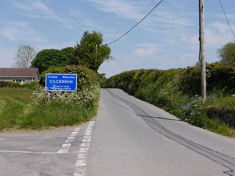
Cilcennin

Cilcennin is a village in the community of Ciliau Aeron, Ceredigion, west Wales. The River Aeron is to the southwest. == History == Cilcennin is the site...

Have you been to Allt Gôch?

Leave your review of Allt Gôch below (or comments, questions and feedback).