Coedydd
Wood, Forest in Caernarfonshire
Wales
Coedydd
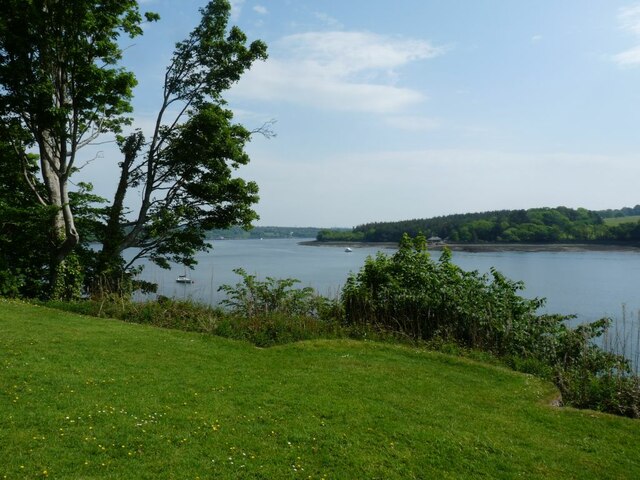
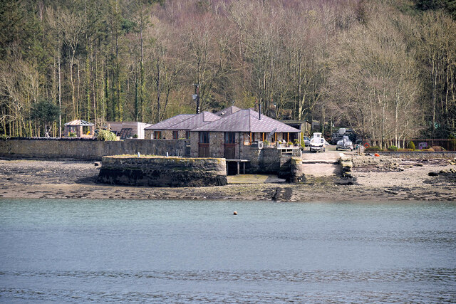
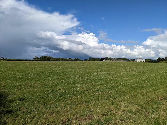
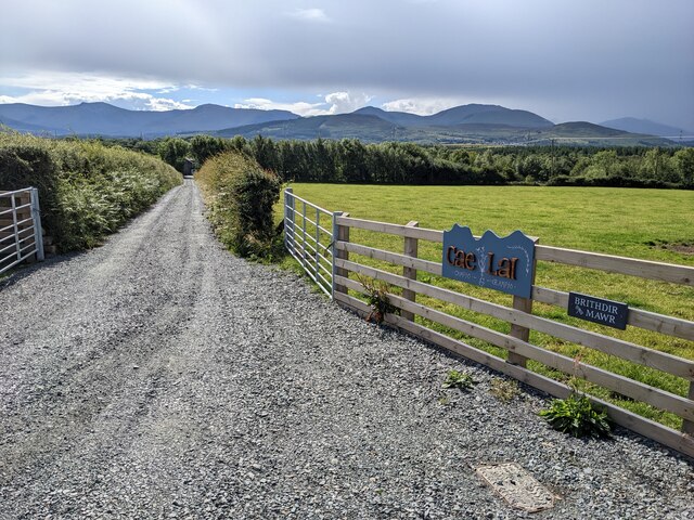
Coedydd, Caernarfonshire, also known as Wood or Forest, is a rural area located in the county of Caernarfonshire, Wales. It is situated in the northern part of the country, near the coast of the Irish Sea. Coedydd is characterized by its abundant woodland areas and lush greenery, making it a picturesque and idyllic destination for nature enthusiasts.
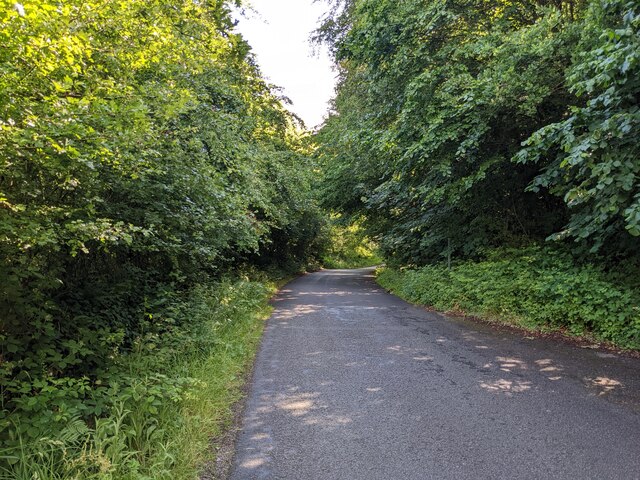
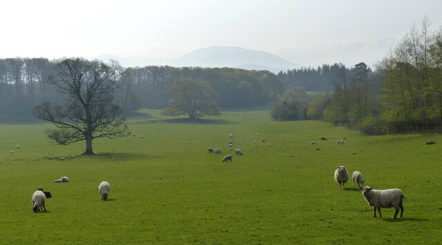
The landscape of Coedydd is dominated by dense forests, with a variety of tree species including oak, beech, and pine. These woodlands provide a haven for a diverse range of flora and fauna, making it a popular spot for wildlife enthusiasts and birdwatchers. The area is also home to several nature reserves, ensuring the preservation of its natural beauty and ecosystems.
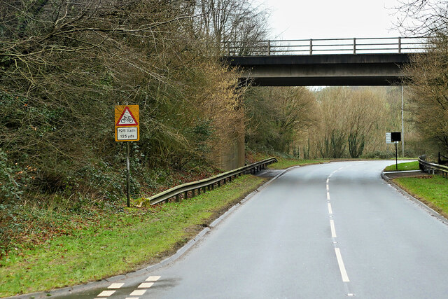
In addition to its natural attractions, Coedydd offers a range of recreational activities for visitors. There are numerous walking and hiking trails that allow visitors to explore the woodlands and enjoy the tranquil surroundings. The area is also known for its cycling routes, providing an opportunity to discover the scenic countryside on two wheels.
Coedydd is not heavily populated, with only a few small villages and settlements scattered throughout the area. This contributes to the peaceful and serene atmosphere that attracts those seeking a retreat from the hustle and bustle of city life.
Overall, Coedydd, Caernarfonshire, is a stunning and unspoiled woodland area, offering a haven of natural beauty and tranquility for outdoor enthusiasts and nature lovers alike.
If you have any feedback on the listing, please let us know in the comments section below.
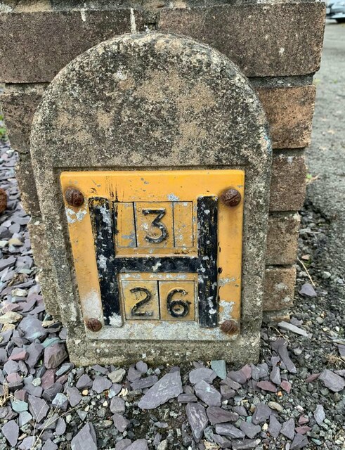
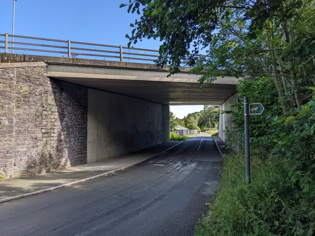
Coedydd Images
Images are sourced within 2km of 53.208049/-4.1824941 or Grid Reference SH5470. Thanks to Geograph Open Source API. All images are credited.


Coedydd is located at Grid Ref: SH5470 (Lat: 53.208049, Lng: -4.1824941)
Unitary Authority: Gwynedd
Police Authority: North Wales
What 3 Words
///rush.fever.annotated. Near Llanfairpwllgwyngyll, Isle of Anglesey
Nearby Locations
Related Wikis
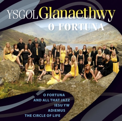
Ysgol Glanaethwy
Ysgol Glanaethwy is a drama school in Bangor, Gwynedd, Wales. It is known in particular for its choir, Côr Glanaethwy. == History == Ysgol Glanaethwy was...

Treborth railway station
Treborth railway station was a railway station located on the Bangor and Carnarvon Railway, about half a mile south of the Britannia Bridge, Caernarfonshire...
Bangor 1876 F.C.
Bangor 1876 Football Club (Welsh: Clwb Pêl-Droed Bangor 1876) is a Welsh football club in Bangor, Gwynedd, who play in the Cymru North, the second tier...

Britannia Bridge
Britannia Bridge (Welsh: Pont Britannia) is a bridge in Wales that crosses the Menai Strait between the Isle of Anglesey and city of Bangor. It was originally...

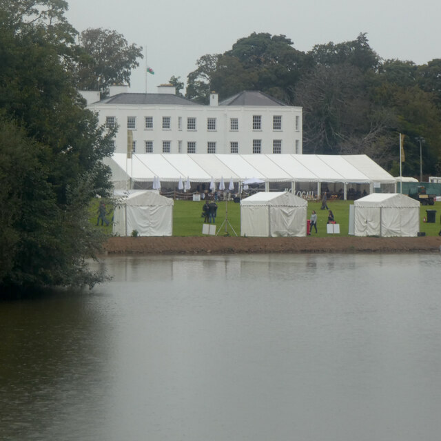
Vaynol
Vaynol or Y Faenol (Welsh [ə ˈveɨnɔl]) is a country estate dating from the Tudor period near Y Felinheli in Gwynedd, North Wales (grid reference SH536695...
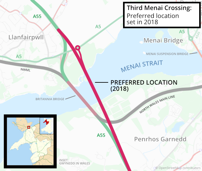
Third Menai Crossing
The Third Menai Crossing (or (A55) 3rd Menai Crossing) was a proposed bridge over the Menai Strait, connecting the Isle of Anglesey with mainland Wales...
Pwll Fanog wreck
The Pwll Fanog wreck is a small Medieval-era wooden vessel that sank in the Menai Strait, off the coast of Anglesey in Wales. The cargo vessel, believed...

Faenol Festival
The Faenol Festival (Welsh: Gŵyl y Faenol) is a music festival organised by Welsh singer Bryn Terfel, originally held annually on the Faenol Estate (Welsh...
Nearby Amenities
Located within 500m of 53.208049,-4.1824941Have you been to Coedydd?
Leave your review of Coedydd below (or comments, questions and feedback).