Coed Bryn-tŵr

Wood, Forest in Caernarfonshire

Wales

Coed Bryn-tŵr

St Beuno's Church, Penmorfa
St Beuno's Church, Penmorfa Credit: Chris Andrews

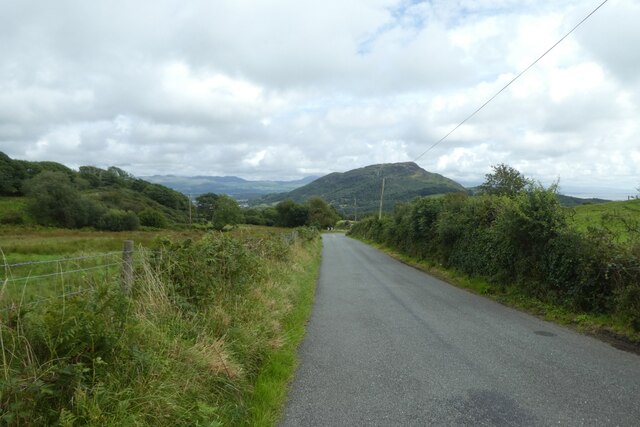
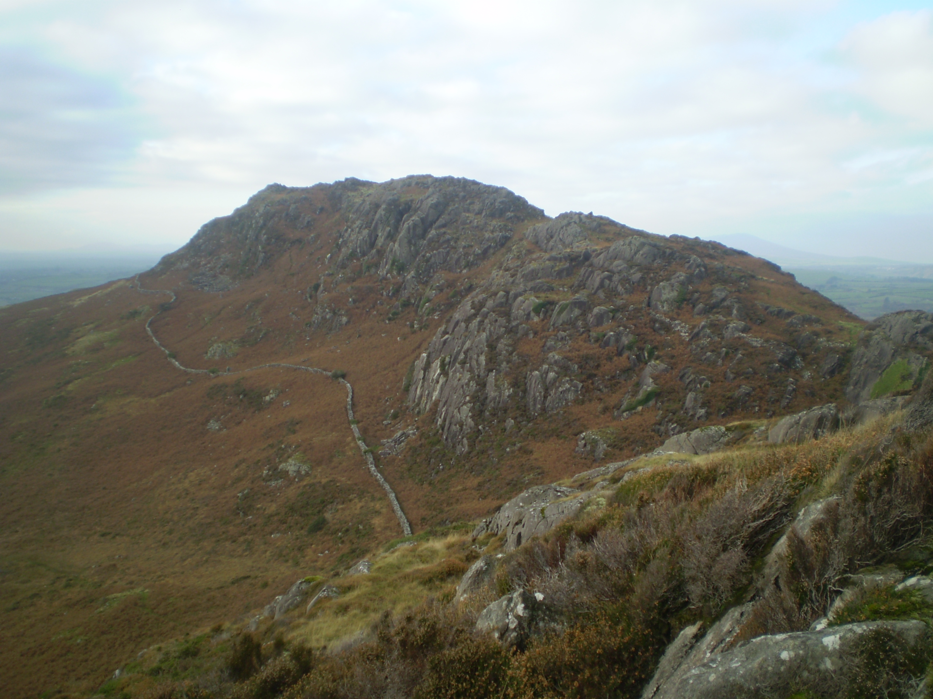
Coed Bryn-tŵr is a captivating woodland located in Caernarfonshire, Wales. Spanning over a vast area, this forest is renowned for its awe-inspiring natural beauty and rich biodiversity. Nestled amidst rolling hills and picturesque landscapes, it is a haven for nature enthusiasts and outdoor lovers alike.

The woodland is predominantly composed of native trees, including oak, beech, and birch, which create a dense canopy that offers a cool and serene atmosphere. These towering trees provide a habitat for a wide variety of flora and fauna, making it a popular destination for birdwatchers and wildlife enthusiasts.

Coed Bryn-tŵr features a network of well-maintained walking trails that allow visitors to explore the forest at their own pace. These paths wind through the woodland, offering breathtaking views of the surrounding countryside and glimpses of wildlife along the way.

The forest is also home to several ancient sites of historical significance. Ruins of ancient settlements and burial mounds can be found within the wood, providing a glimpse into the area's rich cultural heritage.

Visitors to Coed Bryn-tŵr can also enjoy recreational activities such as picnicking, camping, and nature photography. The tranquil atmosphere of the woodland provides the perfect setting for relaxation and rejuvenation.

In conclusion, Coed Bryn-tŵr is a remarkable forest in Caernarfonshire, offering a unique blend of natural beauty, diverse wildlife, and historical significance. Its well-maintained trails and serene ambiance make it an ideal destination for those seeking solace in nature.

If you have any feedback on the listing, please let us know in the comments section below.

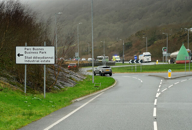
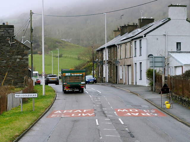
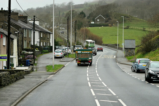
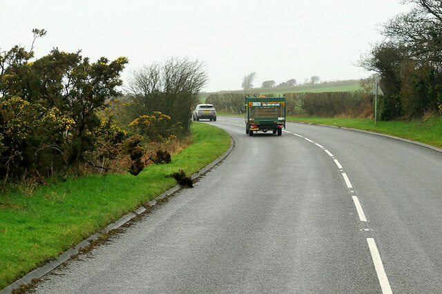
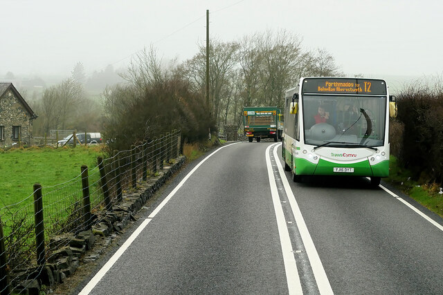
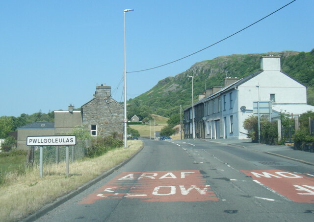
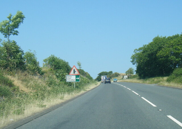
Coed Bryn-tŵr Images

Images are sourced within 2km of 52.938417/-4.1744317 or Grid Reference SH5340. Thanks to Geograph Open Source API. All images are credited.

St Beuno's Church, Penmorfa
Medieval Stained Glass, St Beuno's Church, Penmorfa
A487, Tremadog Roundabout The A487 is one of the most important roads in Wales. It covers the majority of the west coast from St Davids to Menai Bridge, and is a primary route for most of its length, including a section where it multiplexes with the A470, another important north-south road. Along the way, it runs through two national parks: Snowdonia and Pembrokeshire Coast. Despite its length and importance, it is predominantly single carriageway, although the road has been upgraded in numerous places. It is 174 miles long.
<span class="nowrap"><a title="http://www.sabre-roads.org.uk/wiki/index.php?title=A487" rel="nofollow ugc noopener" href="http://www.sabre-roads.org.uk/wiki/index.php?title=A487">Link</a><img style="margin-left:2px;" alt="External link" title="External link - shift click to open in new window" src="https://s1.geograph.org.uk/img/external.png" width="10" height="10"/></span>
A487, Tremadog Roundabout
The A487 is one of the most important roads in Wales. It covers the majority of the west coast from St Davids to Menai Bridge, and is a primary route for most of its length, including a section where it multiplexes with the A470, another important north-south road. Along the way, it runs through two national parks: Snowdonia and Pembrokeshire Coast. Despite its length and importance, it is predominantly single carriageway, although the road has been upgraded in numerous places. It is 174 miles long. LinkExternal link
A487, Pwllgoleulas The A487 is one of the most important roads in Wales. It covers the majority of the west coast from St Davids to Menai Bridge, and is a primary route for most of its length, including a section where it multiplexes with the A470, another important north-south road. Along the way, it runs through two national parks: Snowdonia and Pembrokeshire Coast. Despite its length and importance, it is predominantly single carriageway, although the road has been upgraded in numerous places. It is 174 miles long.
<span class="nowrap"><a title="http://www.sabre-roads.org.uk/wiki/index.php?title=A487" rel="nofollow ugc noopener" href="http://www.sabre-roads.org.uk/wiki/index.php?title=A487">Link</a><img style="margin-left:2px;" alt="External link" title="External link - shift click to open in new window" src="https://s1.geograph.org.uk/img/external.png" width="10" height="10"/></span>
A487, Pwllgoleulas
The A487 is one of the most important roads in Wales. It covers the majority of the west coast from St Davids to Menai Bridge, and is a primary route for most of its length, including a section where it multiplexes with the A470, another important north-south road. Along the way, it runs through two national parks: Snowdonia and Pembrokeshire Coast. Despite its length and importance, it is predominantly single carriageway, although the road has been upgraded in numerous places. It is 174 miles long. LinkExternal link
Pwllgoleulas The A487 is one of the most important roads in Wales. It covers the majority of the west coast from St Davids to Menai Bridge, and is a primary route for most of its length, including a section where it multiplexes with the A470, another important north-south road. Along the way, it runs through two national parks: Snowdonia and Pembrokeshire Coast. Despite its length and importance, it is predominantly single carriageway, although the road has been upgraded in numerous places. It is 174 miles long.
<span class="nowrap"><a title="http://www.sabre-roads.org.uk/wiki/index.php?title=A487" rel="nofollow ugc noopener" href="http://www.sabre-roads.org.uk/wiki/index.php?title=A487">Link</a><img style="margin-left:2px;" alt="External link" title="External link - shift click to open in new window" src="https://s1.geograph.org.uk/img/external.png" width="10" height="10"/></span>
Pwllgoleulas
The A487 is one of the most important roads in Wales. It covers the majority of the west coast from St Davids to Menai Bridge, and is a primary route for most of its length, including a section where it multiplexes with the A470, another important north-south road. Along the way, it runs through two national parks: Snowdonia and Pembrokeshire Coast. Despite its length and importance, it is predominantly single carriageway, although the road has been upgraded in numerous places. It is 174 miles long. LinkExternal link
Volvo Truck on the A487 near Penmorfa The A487 is one of the most important roads in Wales. It covers the majority of the west coast from St Davids to Menai Bridge, and is a primary route for most of its length, including a section where it multiplexes with the A470, another important north-south road. Along the way, it runs through two national parks: Snowdonia and Pembrokeshire Coast. Despite its length and importance, it is predominantly single carriageway, although the road has been upgraded in numerous places. It is 174 miles long.
<span class="nowrap"><a title="http://www.sabre-roads.org.uk/wiki/index.php?title=A487" rel="nofollow ugc noopener" href="http://www.sabre-roads.org.uk/wiki/index.php?title=A487">Link</a><img style="margin-left:2px;" alt="External link" title="External link - shift click to open in new window" src="https://s1.geograph.org.uk/img/external.png" width="10" height="10"/></span>
Volvo Truck on the A487 near Penmorfa
The A487 is one of the most important roads in Wales. It covers the majority of the west coast from St Davids to Menai Bridge, and is a primary route for most of its length, including a section where it multiplexes with the A470, another important north-south road. Along the way, it runs through two national parks: Snowdonia and Pembrokeshire Coast. Despite its length and importance, it is predominantly single carriageway, although the road has been upgraded in numerous places. It is 174 miles long. LinkExternal link
A487, Penmorfa The A487 is one of the most important roads in Wales. It covers the majority of the west coast from St Davids to Menai Bridge, and is a primary route for most of its length, including a section where it multiplexes with the A470, another important north-south road. Along the way, it runs through two national parks: Snowdonia and Pembrokeshire Coast. Despite its length and importance, it is predominantly single carriageway, although the road has been upgraded in numerous places. It is 174 miles long.
<span class="nowrap"><a title="http://www.sabre-roads.org.uk/wiki/index.php?title=A487" rel="nofollow ugc noopener" href="http://www.sabre-roads.org.uk/wiki/index.php?title=A487">Link</a><img style="margin-left:2px;" alt="External link" title="External link - shift click to open in new window" src="https://s1.geograph.org.uk/img/external.png" width="10" height="10"/></span>
A487, Penmorfa
The A487 is one of the most important roads in Wales. It covers the majority of the west coast from St Davids to Menai Bridge, and is a primary route for most of its length, including a section where it multiplexes with the A470, another important north-south road. Along the way, it runs through two national parks: Snowdonia and Pembrokeshire Coast. Despite its length and importance, it is predominantly single carriageway, although the road has been upgraded in numerous places. It is 174 miles long. LinkExternal link
A487 west of Penmorfa The A487 is one of the most important roads in Wales. It covers the majority of the west coast from St Davids to Menai Bridge, and is a primary route for most of its length, including a section where it multiplexes with the A470, another important north-south road. Along the way, it runs through two national parks: Snowdonia and Pembrokeshire Coast. Despite its length and importance, it is predominantly single carriageway, although the road has been upgraded in numerous places. It is 174 miles long.
<span class="nowrap"><a title="http://www.sabre-roads.org.uk/wiki/index.php?title=A487" rel="nofollow ugc noopener" href="http://www.sabre-roads.org.uk/wiki/index.php?title=A487">Link</a><img style="margin-left:2px;" alt="External link" title="External link - shift click to open in new window" src="https://s1.geograph.org.uk/img/external.png" width="10" height="10"/></span>
A487 west of Penmorfa
The A487 is one of the most important roads in Wales. It covers the majority of the west coast from St Davids to Menai Bridge, and is a primary route for most of its length, including a section where it multiplexes with the A470, another important north-south road. Along the way, it runs through two national parks: Snowdonia and Pembrokeshire Coast. Despite its length and importance, it is predominantly single carriageway, although the road has been upgraded in numerous places. It is 174 miles long. LinkExternal link
Service Bus on the A487 Trans Cymru Optare Metrocity YJ16 DYT on the T2 service towards Porthmadog.
Service Bus on the A487
Trans Cymru Optare Metrocity YJ16 DYT on the T2 service towards Porthmadog.
A487 northwest of Penmorfa The A487 is one of the most important roads in Wales. It covers the majority of the west coast from St Davids to Menai Bridge, and is a primary route for most of its length, including a section where it multiplexes with the A470, another important north-south road. Along the way, it runs through two national parks: Snowdonia and Pembrokeshire Coast. Despite its length and importance, it is predominantly single carriageway, although the road has been upgraded in numerous places. It is 174 miles long.
<span class="nowrap"><a title="http://www.sabre-roads.org.uk/wiki/index.php?title=A487" rel="nofollow ugc noopener" href="http://www.sabre-roads.org.uk/wiki/index.php?title=A487">Link</a><img style="margin-left:2px;" alt="External link" title="External link - shift click to open in new window" src="https://s1.geograph.org.uk/img/external.png" width="10" height="10"/></span>
A487 northwest of Penmorfa
The A487 is one of the most important roads in Wales. It covers the majority of the west coast from St Davids to Menai Bridge, and is a primary route for most of its length, including a section where it multiplexes with the A470, another important north-south road. Along the way, it runs through two national parks: Snowdonia and Pembrokeshire Coast. Despite its length and importance, it is predominantly single carriageway, although the road has been upgraded in numerous places. It is 174 miles long. LinkExternal link
A487 at Pwllgoleulas village boundary
A487 west of Penmorfa
Old digger beside the road A minor road running between Golan and Penmorfa. The lane forms part of National Cycle Network route 8.
Old digger beside the road
A minor road running between Golan and Penmorfa. The lane forms part of National Cycle Network route 8.
Crossing the former tramway The Gorseddau Tramway crossed the road here. The lane forms part of National Cycle Network route 8. For details on the tramway see: <span class="nowrap"><a title="https://en.wikipedia.org/wiki/Gorseddau_Tramway" rel="nofollow ugc noopener" href="https://en.wikipedia.org/wiki/Gorseddau_Tramway">Link</a><img style="margin-left:2px;" alt="External link" title="External link - shift click to open in new window" src="https://s1.geograph.org.uk/img/external.png" width="10" height="10"/></span>
Crossing the former tramway
The Gorseddau Tramway crossed the road here. The lane forms part of National Cycle Network route 8. For details on the tramway see: LinkExternal link
Lane towards Penmorfa Looking along the road immediately south of where the Gorseddau Tramway once crossed the road. The lane forms part of National Cycle Network route 8.
Lane towards Penmorfa
Looking along the road immediately south of where the Gorseddau Tramway once crossed the road. The lane forms part of National Cycle Network route 8.
Course of the Gorseddau Tramway The Gorseddau Tramway crossed the road just north of here. For details on the tramway see: <span class="nowrap"><a title="https://en.wikipedia.org/wiki/Gorseddau_Tramway" rel="nofollow ugc noopener" href="https://en.wikipedia.org/wiki/Gorseddau_Tramway">Link</a><img style="margin-left:2px;" alt="External link" title="External link - shift click to open in new window" src="https://s1.geograph.org.uk/img/external.png" width="10" height="10"/></span>
Course of the Gorseddau Tramway
The Gorseddau Tramway crossed the road just north of here. For details on the tramway see: LinkExternal link
Bethel Chapel A Chapel along the road between Golan and Penmorfa. The lane forms part of National Cycle Network route 8.
Bethel Chapel
A Chapel along the road between Golan and Penmorfa. The lane forms part of National Cycle Network route 8.
Road descending to the A487 A minor road descending to meet the A487 to the west of Porthmadog.
Road descending to the A487
A minor road descending to meet the A487 to the west of Porthmadog.
Show me another place!

Coed Bryn-tŵr is located at Grid Ref: SH5340 (Lat: 52.938417, Lng: -4.1744317)

Unitary Authority: Gwynedd

Police Authority: North Wales

What 3 Words

///expired.ripe.belief. Near Porthmadog, Gwynedd

Related Wikis

St Beuno's Church, Penmorfa

St Beuno's Church, Penmorfa, is a redundant church near the settlement of Penmorfa, some 2 miles (3 km) to the northwest of Porthmadog, Gwynedd, Wales...

Moel y Gest

Moel y Gest is a 263 m (863 ft) hill to the west of Porthmadog in North Wales. It is a very rocky hill with high topographic prominence because of the...

Ysbyty Alltwen

Ysbyty Alltwen (English: Alltwen Hospital) is a health facility in Tremadog, Gwynedd, Wales. It is managed by the Betsi Cadwaladr University Health Board...

St Cynhaearn's Church, Ynyscynhaearn

St Cynhaearn's Church is a redundant church standing in an isolated position on Ynyscynhaearna, a former island in Llyn (Lake) Ystumllyn, 900 metres (980...

Nearby Amenities

Located within 500m of 52.938417,-4.1744317
Wern
Is In: Gwynedd,Wales,UK
Name Cy: Wern
Name En: Wern
Place: hamlet
Source: npe
Lat/Long: 52.9370938/-4.1698934
Power: tower
Lat/Long: 52.9396768/-4.1734955
Power: tower
Lat/Long: 52.9401553/-4.1773579
Power: tower
Lat/Long: 52.9391018/-4.1691699
Bus Stop
Shelter: no
Timetable: yes
Lat/Long: 52.9348383/-4.1721283
Power: pole
Lat/Long: 52.9394762/-4.1680662
Power: pole
Lat/Long: 52.9399317/-4.1691668
Power: pole
Lat/Long: 52.9403307/-4.1706592
Power: pole
Lat/Long: 52.940618/-4.1720664
Power: pole
Lat/Long: 52.9401241/-4.1736481
Power: pole
Lat/Long: 52.9402306/-4.1746359
Power: pole
Lat/Long: 52.9404115/-4.1761133
Power: pole
Lat/Long: 52.9399317/-4.177231
Power: pole
Lat/Long: 52.9400407/-4.1783529
Power: pole
Lat/Long: 52.9401677/-4.1795664
Power: pole
Lat/Long: 52.9403088/-4.1808586
The data included in this document is from www.openstreetmap.org. The data is made available under ODbL.

Have you been to Coed Bryn-tŵr?

Leave your review of Coed Bryn-tŵr below (or comments, questions and feedback).