Allt Fawr

Wood, Forest in Cardiganshire

Wales

Allt Fawr

Lime kilns at Craiglas The coastal path leads past these kilns.
Lime kilns at Craiglas Credit: Sandy Gerrard

Allt Fawr is a picturesque woodland area located in Cardiganshire, Wales. Covering an expansive area of land, this forest is known for its natural beauty and abundant wildlife. It is a popular destination for nature enthusiasts and outdoor adventurers.

The forest is primarily composed of oak and beech trees, creating a dense canopy that provides shade and shelter for a variety of flora and fauna. The rich biodiversity of Allt Fawr is evident in its diverse plant life, including mosses, ferns, and wildflowers that thrive in the forest's moist and fertile soil.

The forest is crisscrossed by a network of walking trails and paths, allowing visitors to explore its stunning landscapes. These trails offer breathtaking views of rolling hills, serene streams, and tranquil ponds. The peaceful atmosphere of Allt Fawr provides a relaxing retreat from the hustle and bustle of everyday life.

In addition to its natural beauty, Allt Fawr is home to a range of wildlife species. Visitors may spot red squirrels, badgers, and various bird species, including the elusive woodpecker. The forest is also a habitat for several rare and protected species, making it an important conservation area.

Allt Fawr is managed and cared for by local conservation groups and organizations. These efforts ensure the preservation of the forest's unique ecosystem and allow visitors to appreciate its natural wonders for years to come.

If you have any feedback on the listing, please let us know in the comments section below.
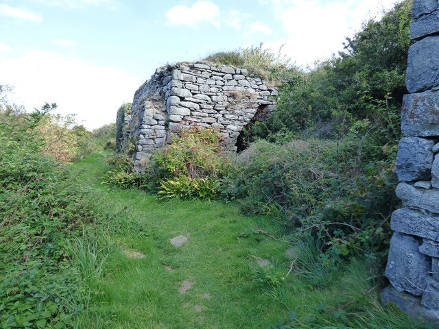
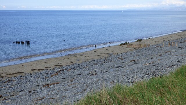
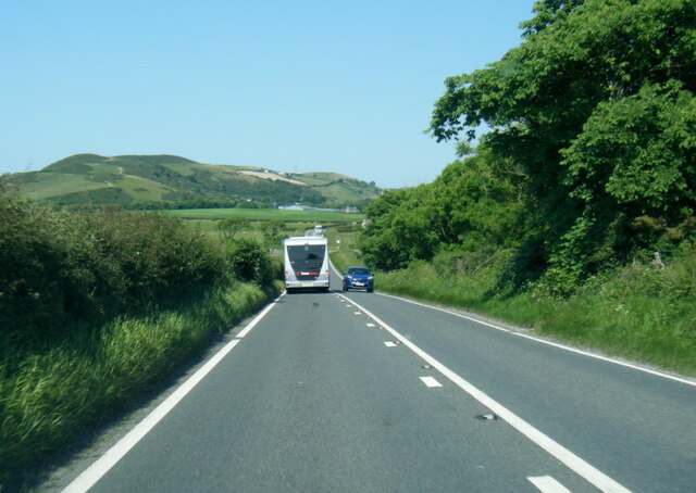
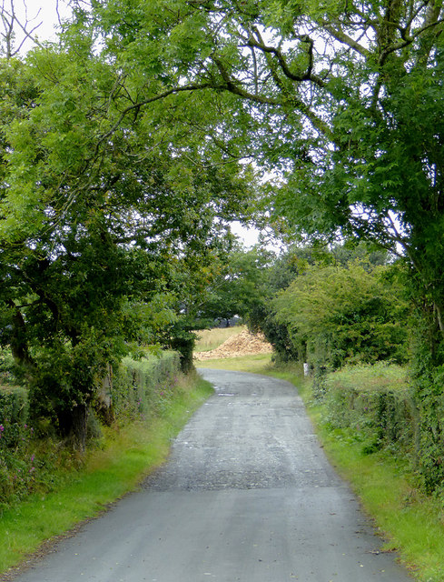
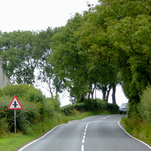
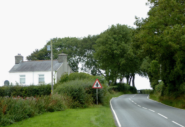
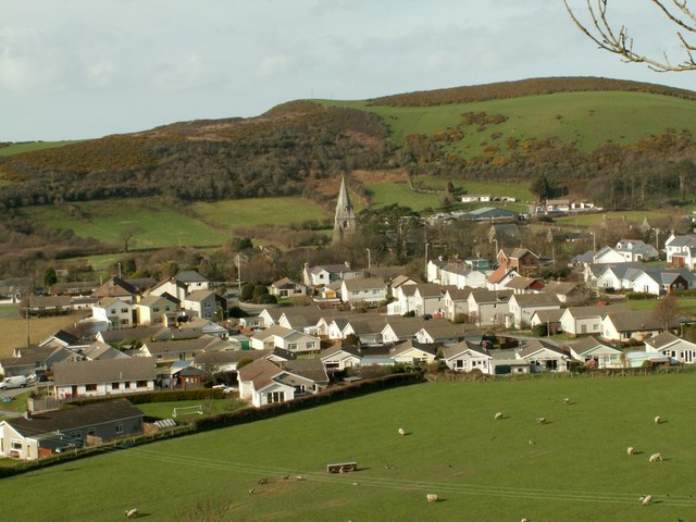
Allt Fawr Images

Images are sourced within 2km of 52.297403/-4.1472093 or Grid Reference SN5368. Thanks to Geograph Open Source API. All images are credited.

Lime kilns at Craiglas The coastal path leads past these kilns.
Lime kilns at Craiglas
The coastal path leads past these kilns.
Old fish net supports
Beach car park at Llanrhystud
St Rhystyd's Church
St Rhystyd's Church
A487 near Plas Gwyn
A487 near Plas Gwyn
A487 at Llanrhystud village boundary
Llywbr Arfordir uwchben Llanrhystud The Wales Coast Path near Llanrhystud. Large patches of bluebells on the cliffs are just beginning to turn.
Llywbr Arfordir uwchben Llanrhystud
The Wales Coast Path near Llanrhystud. Large patches of bluebells on the cliffs are just beginning to turn.
A pair of stone gate posts
Pasture and woodland south of Llanrhystud, Ceredigion The woodland is on Allt Fawr.
Pasture and woodland south of Llanrhystud, Ceredigion
The woodland is on Allt Fawr.
The A487 and petrol station at Llanrhystud, Ceredigion Looking towards Aberystwyth. The A487 from Fishguard via Cardigan and Aberaeron continues on to Machynlleth and Dolgellau.
The A487 and petrol station at Llanrhystud, Ceredigion
Looking towards Aberystwyth. The A487 from Fishguard via Cardigan and Aberaeron continues on to Machynlleth and Dolgellau.
Petrol station at Llanrhystud, Ceredigion This petrol station is at the south-western end of the village by the A487 Fishguard-Cardigan-Aberystwyth-Machynlleth-Dolgellau road.
Petrol station at Llanrhystud, Ceredigion
This petrol station is at the south-western end of the village by the A487 Fishguard-Cardigan-Aberystwyth-Machynlleth-Dolgellau road.
Farm driveway south of Llanrhystud in Ceredigion From the B4337, this is the way into the Fantasy Farm Park. <span class="nowrap"><a title="http://www.fantasyfarmpark.co.uk/" rel="nofollow ugc noopener" href="http://www.fantasyfarmpark.co.uk/">Link</a><img style="margin-left:2px;" alt="External link" title="External link - shift click to open in new window" src="https://s1.geograph.org.uk/img/external.png" width="10" height="10"/></span>
Farm driveway south of Llanrhystud in Ceredigion
From the B4337, this is the way into the Fantasy Farm Park. LinkExternal link
The B4337 to Llanrhystud in Ceredigion This is about a mile west of Rhydroser. The B4337 leads from Temple Bar (near Lampeter) to Llanrhystud.
The B4337 to Llanrhystud in Ceredigion
This is about a mile west of Rhydroser. The B4337 leads from Temple Bar (near Lampeter) to Llanrhystud.
The B4337 to Llanrhystud in Ceredigion This is about a mile west of Rhydroser. The B4337 leads from Temple Bar (near Lampeter) to Llanrhystud. Hafod Newydd farm house is on the left.
The B4337 to Llanrhystud in Ceredigion
This is about a mile west of Rhydroser. The B4337 leads from Temple Bar (near Lampeter) to Llanrhystud. Hafod Newydd farm house is on the left.
Hedge side Triangulation Pillar near Penfor-fach Looking north-eastward.
Hedge side Triangulation Pillar near Penfor-fach
Looking north-eastward.
Milestone - Aberystwyth 9
Craiglas - signs of an industrial past As described by Cared in <a href="https://www.geograph.org.uk/photo/31125">SN5168 : Craiglas Lime Kilns</a>, Craiglas was a thriving lime burning site in the first half of the nineteenth century, with raw materials being imported by ships which berthed at jetties here. The breakwater/groyne (the lighter row of stones, upper left) was marked on OS maps until the 1960s.
Craiglas - signs of an industrial past
As described by Cared in SN5168 : Craiglas Lime Kilns, Craiglas was a thriving lime burning site in the first half of the nineteenth century, with raw materials being imported by ships which berthed at jetties here. The breakwater/groyne (the lighter row of stones, upper left) was marked on OS maps until the 1960s.
Abandoned winch at Craiglas See also <a href="https://www.geograph.org.uk/photo/4936866">SN5168 : Craiglas - signs of an industrial past</a>.
Abandoned winch at Craiglas
Show me another place!

Allt Fawr is located at Grid Ref: SN5368 (Lat: 52.297403, Lng: -4.1472093)

Unitary Authority: Ceredigion

Police Authority: Dyfed Powys

What 3 Words

///limits.buckets.spotty. Near Llanon, Ceredigion

Nearby Locations

Allt Fawr

Related Wikis

Llanrhystud

Llanrhystud (Welsh pronunciation: [ɬanˈr̥əstɪd]) is a seaside village and electoral division on the A487 road in the county of Ceredigion, in Wales, 9...

Tŷ-Newydd, Ceredigion

Tŷ-Newydd is a small village in the community of Llanrhystud, Ceredigion, Wales, which is 69.5 miles (111.8 km) from Cardiff and 179.1 miles (288.2 km...

Afon Wyre

Afon Wyre (Welsh pronunciation: [ˈʊɨ̯rɛ] ), (English: River Wyre), is a small river in the county of Ceredigion, Wales; also called Afon Wyre Fawr ("Great...

Gaer Penrhôs

Gaer Penrhôs, in Ceredigion, Wales, was a ringwork castle at the summit of a steep hill near the village of Llanrhystud; now all that remains are the outlines...

Nearby Amenities

Located within 500m of 52.297403,-4.1472093
Castell-Bach
Natural: peak
Lat/Long: 52.2984929/-4.1441006
Castell-Mawr
Natural: peak
Lat/Long: 52.2965245/-4.1461177
The data included in this document is from www.openstreetmap.org. The data is made available under ODbL.

Have you been to Allt Fawr?

Leave your review of Allt Fawr below (or comments, questions and feedback).