Burneside
Settlement in Westmorland South Lakeland
England
Burneside
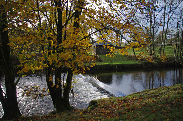
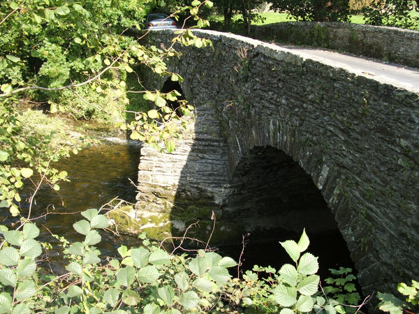
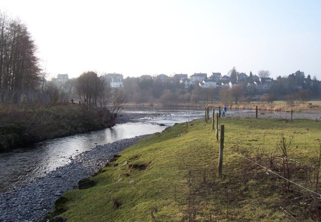
Burneside is a small village located in the district of South Lakeland, in the county of Cumbria, England. It is situated approximately 2 miles southeast of the town of Kendal, and lies on the eastern bank of the River Kent. Historically, Burneside was a part of the ancient county of Westmorland, hence its name.
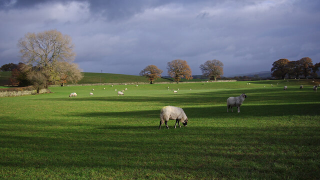
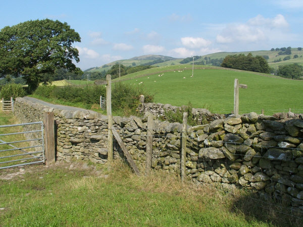
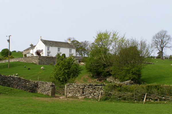
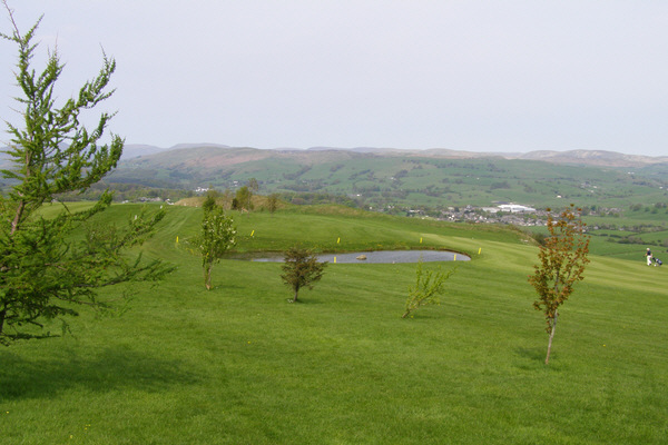
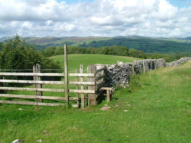
The village is primarily residential and boasts a close-knit community. It is characterized by its picturesque surroundings, with rolling green hills and scenic views of the Lake District National Park. Burneside is well-known for its tranquil atmosphere, making it an ideal place for those seeking a peaceful and idyllic lifestyle.
Despite its small size, Burneside has a rich industrial heritage. In the past, it was home to several mills and factories, which played a significant role in the local economy. Today, some of these historic buildings have been repurposed or converted into residential properties, adding to the village's charm and character.
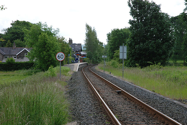
One notable feature of Burneside is its railway station, which provides convenient transport links to Kendal, Windermere, and other nearby towns. The village also has a primary school, a church, a local pub, and a few shops, catering to the needs of its residents.
Overall, Burneside offers a quiet and picturesque setting, with a blend of history and natural beauty. It is a place where residents can enjoy a peaceful lifestyle while still having access to the amenities and services of larger nearby towns.
If you have any feedback on the listing, please let us know in the comments section below.
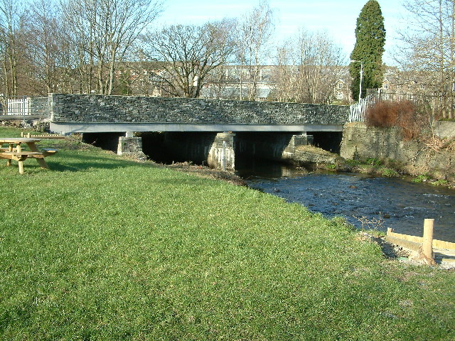
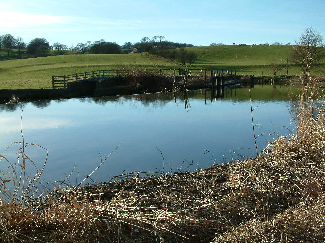
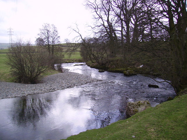
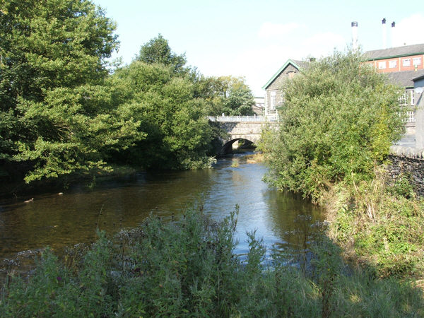
Burneside Images
Images are sourced within 2km of 54.35203/-2.758483 or Grid Reference SD5095. Thanks to Geograph Open Source API. All images are credited.


Burneside is located at Grid Ref: SD5095 (Lat: 54.35203, Lng: -2.758483)
Administrative County: Cumbria
District: South Lakeland
Police Authority: Cumbria
What 3 Words
///maximum.badge.gratitude. Near Burneside, Cumbria
Nearby Locations
Related Wikis
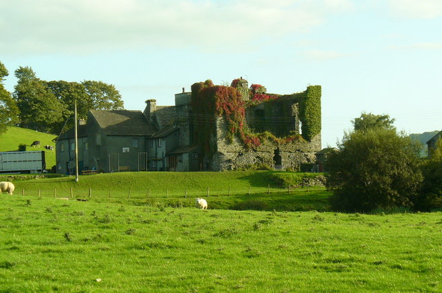
Burneside Hall
Burneside Hall is a converted medieval pele tower in Burneside, Cumbria, England. == History == Documentary records for Burneside Hall extend to 1290,...
Burneside
Burneside () is a small village in South Lakeland in Cumbria, England. It is located to the north of Kendal and to the south east of Staveley, on the River...
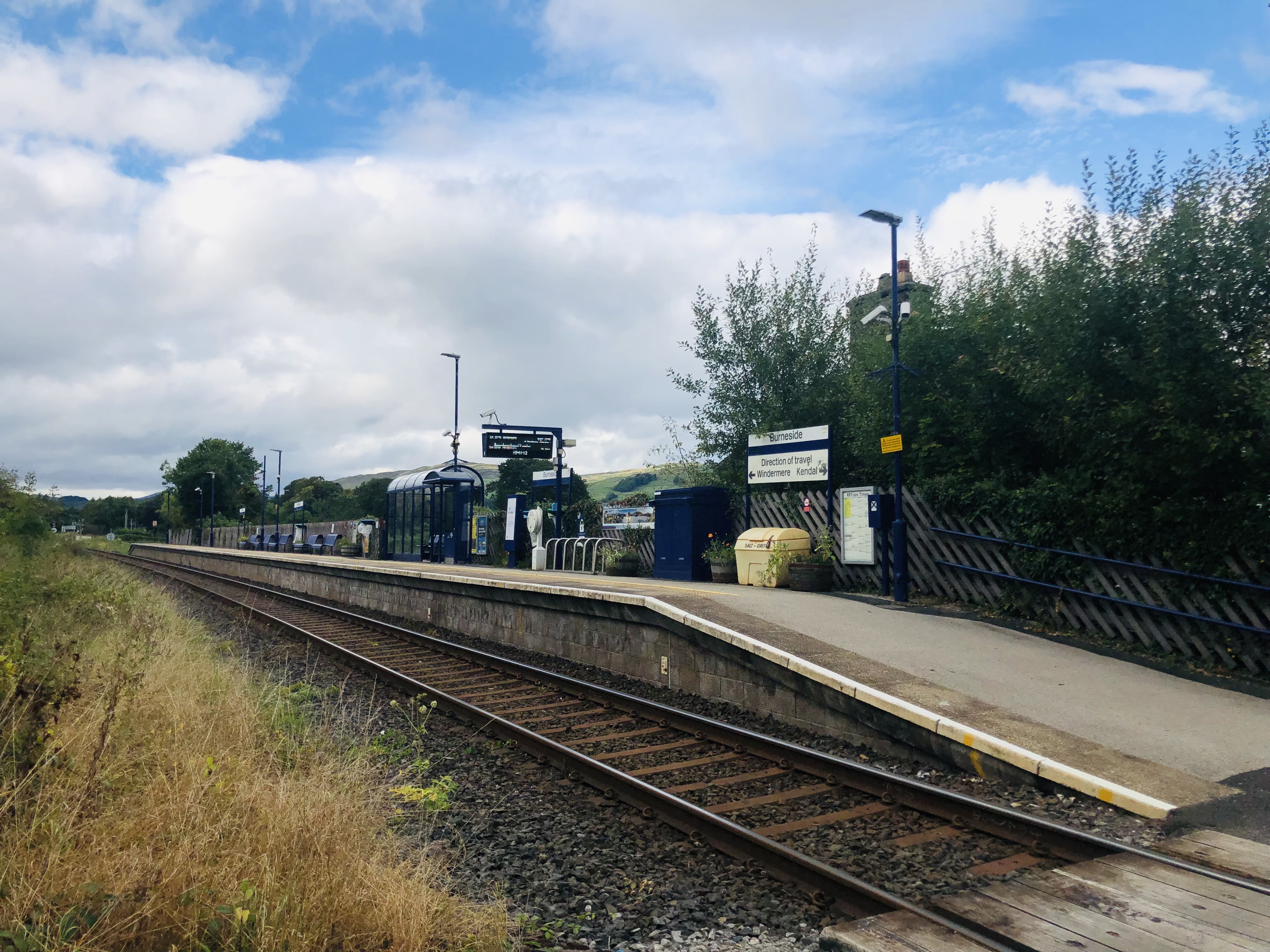
Burneside railway station
Burneside railway station is in Burneside, Cumbria, England. The station is situated on the Windermere Branch Line from Oxenholme to Windermere. To the...

Smooth Lake District
Smooth Lake District is an Independent Local Radio station for the Lakes, owned and operated by Global and part of the Smooth network. == Overview == Originally...
Strickland Ketel
Strickland Ketel (sometimes Strickland Kettle) is a civil parish in South Lakeland, Cumbria, England. In the 2001 census the parish had a population of...
Bowston
Bowston is a village in Cumbria, England, situated about 4 miles (6.4 km) north of Kendal, beside the River Kent. It has an old, probably 17th century...
Kentrigg
Kentrigg is a northern suburb of Kendal, Cumbria, England. By road, Kentrigg is located 1.2 miles (1.9 km) north of the centre of Kendal and 1.4 miles...

Helsfell Hall
Helsfell Hall was a country house near Kentrigg in Cumbria. That part of the building which survives, and is now used as a barn, is a Grade II listed building...
Nearby Amenities
Located within 500m of 54.35203,-2.758483Have you been to Burneside?
Leave your review of Burneside below (or comments, questions and feedback).