Allt Fawr

Wood, Forest in Carmarthenshire

Wales

Allt Fawr

Field beyond the car park for the Halfway Inn, Llanegwad
Field beyond the car park for the Halfway Inn, Llanegwad Credit: Ruth Sharville

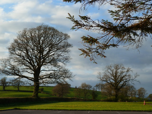
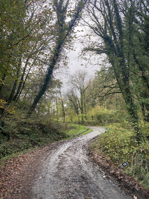
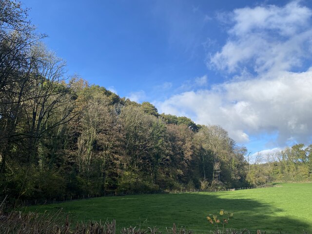
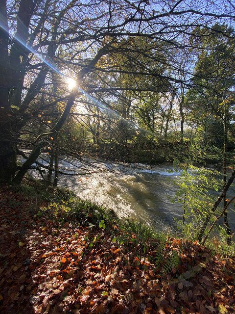
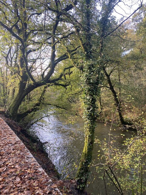
Allt Fawr is a woodland area located in Carmarthenshire, Wales. Covering an expansive area, it is known for its lush greenery, diverse wildlife, and tranquil atmosphere. This beautiful forest is a popular destination for nature enthusiasts and hikers.

The woodland is characterized by a variety of tree species, including oak, beech, and pine. The dense canopy formed by these trees provides shade and creates a cool and refreshing environment, especially during hot summer months. The forest floor is covered with a rich carpet of moss, ferns, and wildflowers, adding to the area's scenic beauty.

Allt Fawr is home to a wide range of wildlife, making it a haven for animal lovers and birdwatchers. Visitors may spot red squirrels scurrying among the trees, while rabbits and deer can also be seen grazing in the open meadows. Bird species such as woodpeckers, jays, and various songbirds are abundant, filling the air with their melodious tunes.

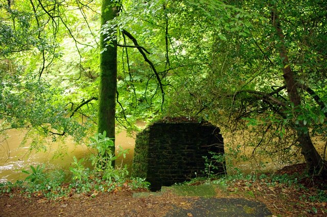
The forest offers several walking trails and paths, allowing visitors to explore its natural wonders. These trails vary in length and difficulty, catering to different fitness levels and interests. As visitors wander through the forest, they may stumble upon hidden streams, cascading waterfalls, and picturesque picnic spots.

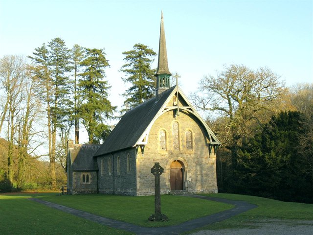
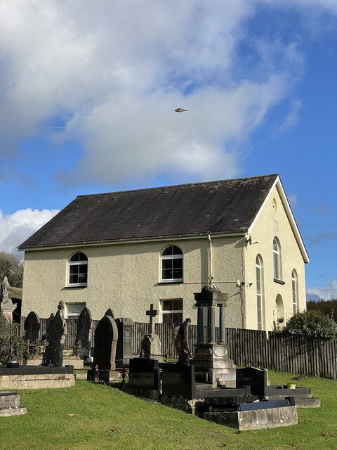
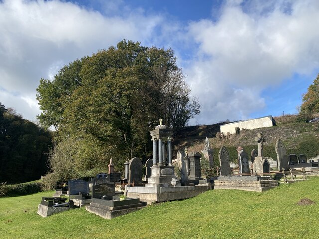
Allt Fawr is not only a place of natural beauty but also of historical significance. It is believed that the forest has been in existence for centuries, with evidence of human activity dating back to the Iron Age. Today, remnants of ancient settlements and burial mounds can still be found within the woodland, adding an intriguing historical dimension to the area.

Overall, Allt Fawr is a captivating woodland that offers a tranquil escape from the hustle and bustle of everyday life. Its lush greenery, diverse wildlife, and rich history make it a must-visit destination for nature lovers and history enthusiasts alike.

If you have any feedback on the listing, please let us know in the comments section below.
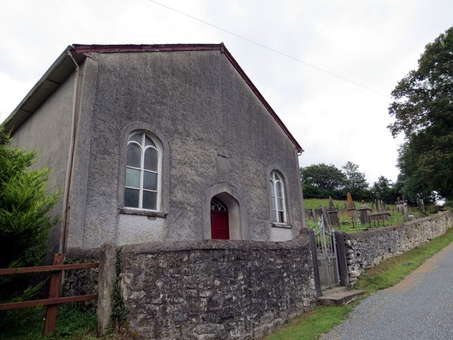
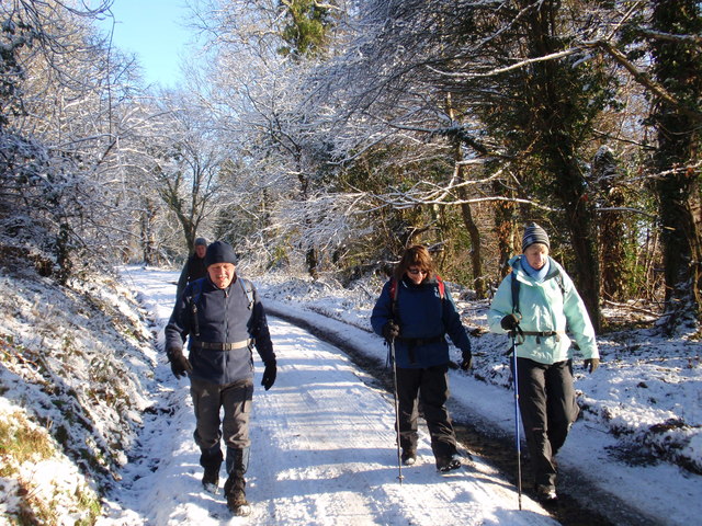
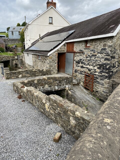
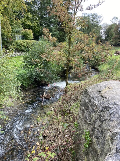
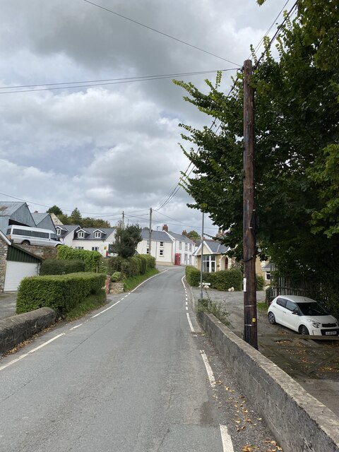
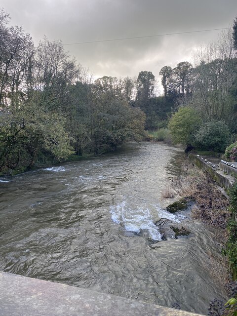
Allt Fawr Images

Images are sourced within 2km of 51.890966/-4.1443857 or Grid Reference SN5223. Thanks to Geograph Open Source API. All images are credited.

Field beyond the car park for the Halfway Inn, Llanegwad
Holy Trinity Church near Pontargothi On the north side of the quiet Cothi valley, over a kilometre upstream from the village of Pontargothi along narrow back roads, lies this church in quite spacious grounds.
Holy Trinity Church near Pontargothi
On the north side of the quiet Cothi valley, over a kilometre upstream from the village of Pontargothi along narrow back roads, lies this church in quite spacious grounds.
Lychgate, Holy Trinity Church This is the gate at <a href="https://www.geograph.org.uk/photo/2714525">SN5022 : Holy Trinity Church near Pontargothi</a>
Lychgate, Holy Trinity Church
Another missing Carmarthenshire footbridge This is one of 44 bridges in the county in need of replacement, and another example of the shocking state of public footpaths in Carmarthenshire
Another missing Carmarthenshire footbridge
This is one of 44 bridges in the county in need of replacement, and another example of the shocking state of public footpaths in Carmarthenshire
Capel Sitim Chapel Sitim, Capel y Bedyddwyr yn Felingwm Isaf. Fe'i codwyd yn gyntaf yn 1817 ac fe'i hailadeiladwyd yn 1848. Mae'r addoldy presennol yn dyddio o 1874.

Sitim Baptist Chapel in Felingwm Isaf (trans. lower mill valley). The first meeting house was built in 1817 and it was rebuilt in 1848. The present chapel dates from 1874.
Capel Sitim Chapel
Sitim, Capel y Bedyddwyr yn Felingwm Isaf. Fe'i codwyd yn gyntaf yn 1817 ac fe'i hailadeiladwyd yn 1848. Mae'r addoldy presennol yn dyddio o 1874. Sitim Baptist Chapel in Felingwm Isaf (trans. lower mill valley). The first meeting house was built in 1817 and it was rebuilt in 1848. The present chapel dates from 1874.
Heol Alltyferin Road Cerddwyr yn dilyn llwybr cyhoeddus i bentre Pontargothi. Mae'r heol yn arwain at gyn Plasty Allyferin.


Walkers following a public footpath to Pontargothi (trans. bridge on the Cothi river). The way is an access road to the former Alltyferin Mansion.
Heol Alltyferin Road
Cerddwyr yn dilyn llwybr cyhoeddus i bentre Pontargothi. Mae'r heol yn arwain at gyn Plasty Allyferin. Walkers following a public footpath to Pontargothi (trans. bridge on the Cothi river). The way is an access road to the former Alltyferin Mansion.
OS Cut Mark - Felingwm-uchaf, Llammarch Bridge <span class="nowrap"><a title="https://www.bench-marks.org.uk/bm107255" rel="nofollow ugc noopener" href="https://www.bench-marks.org.uk/bm107255">Link</a><img style="margin-left:2px;" alt="External link" title="External link - shift click to open in new window" src="https://s1.geograph.org.uk/img/external.png" width="10" height="10"/></span>
OS Cut Mark - Felingwm-uchaf, Llammarch Bridge
Location of OS Cut Mark - Felingwm-uchaf, Llammarch Bridge
Afon Llammarch
Afon Llammarch
Afon Llammarch
Afon Llammarch
Felingwmuchaf
Felingwmuchaf
Afon Cothi at Dolybont
Muddy lane towards Ynyswen
Churchyard and Chapel Pont Ynyswen Capel House, formerly a 19th century Welsh Chapel.
Churchyard and Chapel
Pont Ynyswen Capel House, formerly a 19th century Welsh Chapel.
Pont Ynyswen churchyard
Woodland at Allt Cwm Perrott
Afon Cothi in autumn
Afon Cothi near Pant y Ddinas
Show me another place!

Allt Fawr is located at Grid Ref: SN5223 (Lat: 51.890966, Lng: -4.1443857)

Unitary Authority: Carmarthenshire

Police Authority: Dyfed Powys

What 3 Words

///enrolling.fallen.changed. Near Llanfynydd, Carmarthenshire

Related Wikis

Llanegwad

Llanegwad () is a village and community located in Carmarthenshire, Wales. The population taken at the 2011 census was 1,473.Llanegwad is built up mainly...

Pont-ar-Gothi

Pont-ar-gothi (otherwise Pontargothi or Cothi Bridge) is a village in Carmarthenshire, West Wales. The village takes its name from the bridge where the...

Llanarthney Halt railway station

Llanarthney railway station served the village of Llanarthney, in the historical county of Carmarthenshire, Wales, from 1865 to 1963 on the Llanelly Railway...

Llanarthney

Llanarthney (Welsh: Llanarthne; ) is a village and community in Carmarthenshire, south-west Wales. It is situated on the B4300 road, 12 km (7.5 miles)...

Nearby Amenities

Located within 500m of 51.890966,-4.1443857
Place: farm
Lat/Long: 51.8909619/-4.1486652
The data included in this document is from www.openstreetmap.org. The data is made available under ODbL.

Have you been to Allt Fawr?

Leave your review of Allt Fawr below (or comments, questions and feedback).