Coed Dolwgan

Wood, Forest in Caernarfonshire

Wales

Coed Dolwgan

Looking towards Garndolbenmaen from the summit of Graig-y-garn
Looking towards Garndolbenmaen from the summit of Graig-y-garn Credit: Meirion

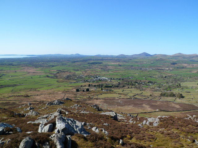
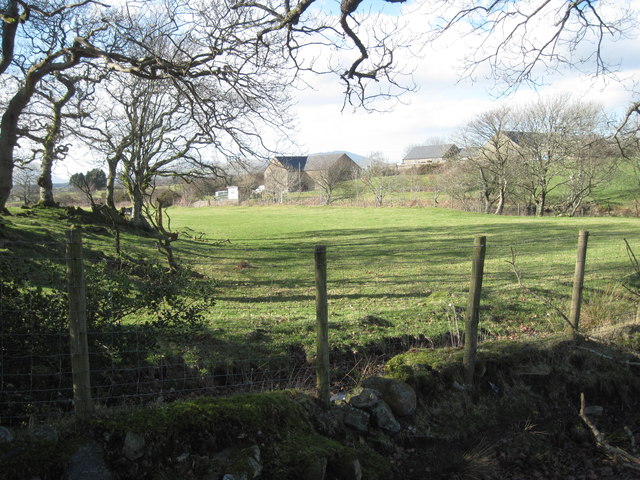
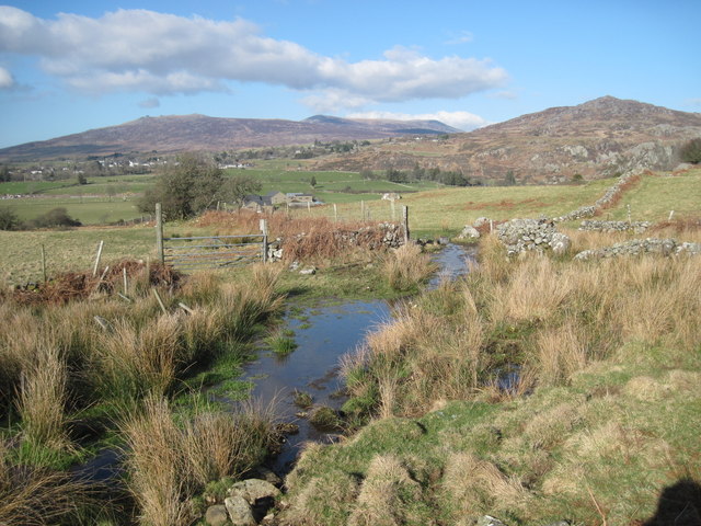
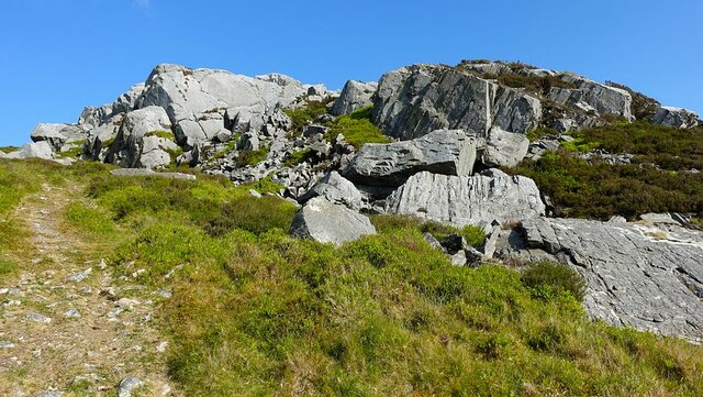
Coed Dolwgan, located in Caernarfonshire, Wales, is a picturesque woodland area renowned for its natural beauty and diverse wildlife. Encompassing an area of approximately 200 acres, it offers visitors a tranquil escape into nature.

The woodland is characterized by its dense canopy of mature trees, including oak, birch, and beech, which provide a habitat for a wide range of flora and fauna. Bluebells carpet the forest floor in the spring, creating a stunning display of color. The woodland also boasts a variety of ferns, mosses, and lichens, adding to its enchanting atmosphere.

Coed Dolwgan is home to numerous animal species, making it a popular destination for wildlife enthusiasts and birdwatchers. Visitors can expect to encounter red squirrels, badgers, foxes, and a plethora of bird species, including woodpeckers, thrushes, and owls. The forest's diverse ecosystem provides a haven for these creatures, ensuring their survival.

The woodland offers a range of walking trails, allowing visitors to explore its natural wonders at their own pace. The paths wind through the forest, leading to breathtaking viewpoints and serene picnic spots. Nature lovers can enjoy the soothing sounds of birdsong, the rustling of leaves, and the scent of fresh earth as they immerse themselves in this idyllic setting.

Coed Dolwgan has also been designated as a Site of Special Scientific Interest (SSSI) due to its ecological importance. Conservation efforts are in place to preserve the woodland's unique biodiversity and protect its fragile ecosystem for future generations to enjoy.

In conclusion, Coed Dolwgan is a captivating woodland retreat, offering a sanctuary for nature enthusiasts and a haven for wildlife. Its stunning natural features and diverse array of flora and fauna make it a must-visit destination for those seeking solace in the beauty of the outdoors.

If you have any feedback on the listing, please let us know in the comments section below.
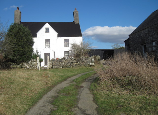
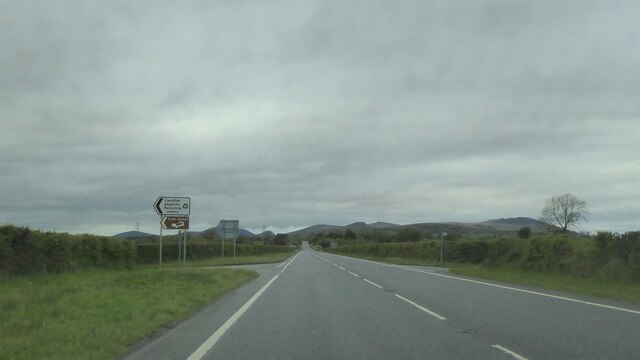
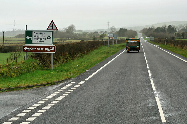
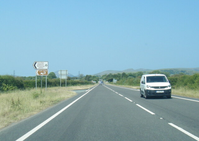
Coed Dolwgan Images

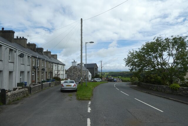
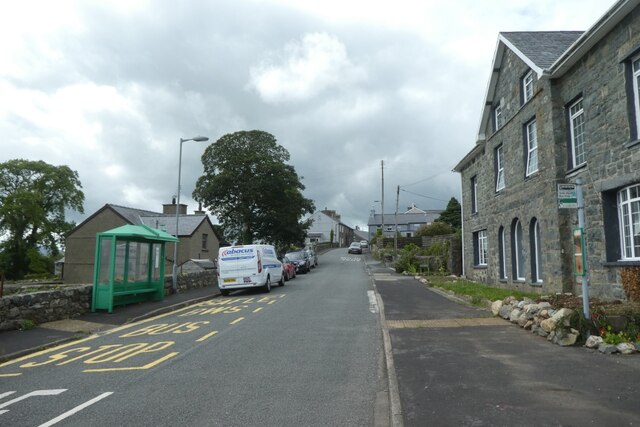
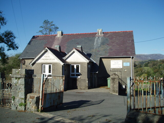
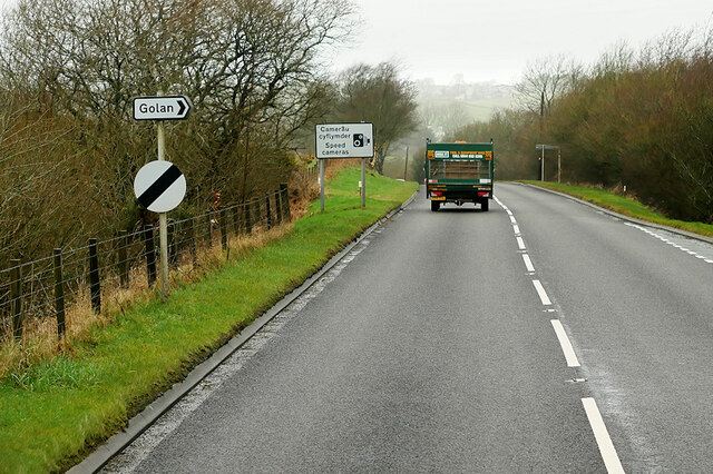
Images are sourced within 2km of 52.967248/-4.2145241 or Grid Reference SH5143. Thanks to Geograph Open Source API. All images are credited.

Looking towards Garndolbenmaen from the summit of Graig-y-garn
A487 at western Garndolbenmaen junction
Field near Beudy Mawr farm Looking across the Afon Dwyfor.
Field near Beudy Mawr farm
Looking across the Afon Dwyfor.
Boggy track near Ystumcegid Farm
Ystumcegid Farm
Ystumcegid Farm
Junction on A487
Junction on A487
A487 near Beudy Mawr The A487 is one of the most important roads in Wales. It covers the majority of the west coast from St Davids to Menai Bridge, and is a primary route for most of its length, including a section where it multiplexes with the A470, another important north-south road. Along the way, it runs through two national parks: Snowdonia and Pembrokeshire Coast. Despite its length and importance, it is predominantly single carriageway, although the road has been upgraded in numerous places. It is 174 miles long.
<span class="nowrap"><a title="http://www.sabre-roads.org.uk/wiki/index.php?title=A487" rel="nofollow ugc noopener" href="http://www.sabre-roads.org.uk/wiki/index.php?title=A487">Link</a><img style="margin-left:2px;" alt="External link" title="External link - shift click to open in new window" src="https://s1.geograph.org.uk/img/external.png" width="10" height="10"/></span>
A487 near Beudy Mawr
The A487 is one of the most important roads in Wales. It covers the majority of the west coast from St Davids to Menai Bridge, and is a primary route for most of its length, including a section where it multiplexes with the A470, another important north-south road. Along the way, it runs through two national parks: Snowdonia and Pembrokeshire Coast. Despite its length and importance, it is predominantly single carriageway, although the road has been upgraded in numerous places. It is 174 miles long. LinkExternal link
A487 south of Garndolbenmaen
Street in Garndolbenmaen A minor road heading south from Garndolbenmaen to the A487.
Street in Garndolbenmaen
A minor road heading south from Garndolbenmaen to the A487.
Bus stops in Garndolbenmaen Looking towards the centre of the village.
Bus stops in Garndolbenmaen
Looking towards the centre of the village.
Golan Community Centre
Dolbenmaen, Gwynedd Pasture land in the vicinity of Dolbenmaen, the peak of Craig-y-garn can be seen in the distance.
Dolbenmaen, Gwynedd
Pasture land in the vicinity of Dolbenmaen, the peak of Craig-y-garn can be seen in the distance.
A487 near Golan The A487 is one of the most important roads in Wales. It covers the majority of the west coast from St Davids to Menai Bridge, and is a primary route for most of its length, including a section where it multiplexes with the A470, another important north-south road. Along the way, it runs through two national parks: Snowdonia and Pembrokeshire Coast. Despite its length and importance, it is predominantly single carriageway, although the road has been upgraded in numerous places. It is 174 miles long.
<span class="nowrap"><a title="http://www.sabre-roads.org.uk/wiki/index.php?title=A487" rel="nofollow ugc noopener" href="http://www.sabre-roads.org.uk/wiki/index.php?title=A487">Link</a><img style="margin-left:2px;" alt="External link" title="External link - shift click to open in new window" src="https://s1.geograph.org.uk/img/external.png" width="10" height="10"/></span>
A487 near Golan
The A487 is one of the most important roads in Wales. It covers the majority of the west coast from St Davids to Menai Bridge, and is a primary route for most of its length, including a section where it multiplexes with the A470, another important north-south road. Along the way, it runs through two national parks: Snowdonia and Pembrokeshire Coast. Despite its length and importance, it is predominantly single carriageway, although the road has been upgraded in numerous places. It is 174 miles long. LinkExternal link
A487 Dolbenmaen The A487 is one of the most important roads in Wales. It covers the majority of the west coast from St Davids to Menai Bridge, and is a primary route for most of its length, including a section where it multiplexes with the A470, another important north-south road. Along the way, it runs through two national parks: Snowdonia and Pembrokeshire Coast. Despite its length and importance, it is predominantly single carriageway, although the road has been upgraded in numerous places. It is 174 miles long.
<span class="nowrap"><a title="http://www.sabre-roads.org.uk/wiki/index.php?title=A487" rel="nofollow ugc noopener" href="http://www.sabre-roads.org.uk/wiki/index.php?title=A487">Link</a><img style="margin-left:2px;" alt="External link" title="External link - shift click to open in new window" src="https://s1.geograph.org.uk/img/external.png" width="10" height="10"/></span>
A487 Dolbenmaen
The A487 is one of the most important roads in Wales. It covers the majority of the west coast from St Davids to Menai Bridge, and is a primary route for most of its length, including a section where it multiplexes with the A470, another important north-south road. Along the way, it runs through two national parks: Snowdonia and Pembrokeshire Coast. Despite its length and importance, it is predominantly single carriageway, although the road has been upgraded in numerous places. It is 174 miles long. LinkExternal link
A487 near Dolbenmaen The A487 is one of the most important roads in Wales. It covers the majority of the west coast from St Davids to Menai Bridge, and is a primary route for most of its length, including a section where it multiplexes with the A470, another important north-south road. Along the way, it runs through two national parks: Snowdonia and Pembrokeshire Coast. Despite its length and importance, it is predominantly single carriageway, although the road has been upgraded in numerous places. It is 174 miles long.
<span class="nowrap"><a title="http://www.sabre-roads.org.uk/wiki/index.php?title=A487" rel="nofollow ugc noopener" href="http://www.sabre-roads.org.uk/wiki/index.php?title=A487">Link</a><img style="margin-left:2px;" alt="External link" title="External link - shift click to open in new window" src="https://s1.geograph.org.uk/img/external.png" width="10" height="10"/></span>
A487 near Dolbenmaen
The A487 is one of the most important roads in Wales. It covers the majority of the west coast from St Davids to Menai Bridge, and is a primary route for most of its length, including a section where it multiplexes with the A470, another important north-south road. Along the way, it runs through two national parks: Snowdonia and Pembrokeshire Coast. Despite its length and importance, it is predominantly single carriageway, although the road has been upgraded in numerous places. It is 174 miles long. LinkExternal link
The approach to Craig-y-garn The inconspicuous access point for Craig-y-garn is a farm gate with no waymarks, but this excellent approach path seems well walked.
The heather, moorland grasses and grey summit rocks make a colourful rugged scene.
The approach to Craig-y-garn
The inconspicuous access point for Craig-y-garn is a farm gate with no waymarks, but this excellent approach path seems well walked. The heather, moorland grasses and grey summit rocks make a colourful rugged scene.
A487 west of Golan
A487 west of Golan
A487 about to cross the Afon Dwyfor
Show me another place!

Coed Dolwgan is located at Grid Ref: SH5143 (Lat: 52.967248, Lng: -4.2145241)

Unitary Authority: Gwynedd

Police Authority: North Wales

What 3 Words

///upholds.toggle.homecare. Near Criccieth, Gwynedd

Nearby Locations

Coed Dolwgan

Related Wikis

Cwm Pennant Fault

The Cwm Pennant Fault is a SSW-NNE trending normal fault system in North Wales. It forms part of the structures that bound the Snowdon graben. The main...

Dolbenmaen

Dolbenmaen () is a village and community in the Welsh county of Gwynedd, located in Eifionydd, of which it was the administrative centre until 1239. The...

Garndolbenmaen

Garndolbenmaen, known colloquially as Garn, is a village in the county of Gwynedd, Wales. It lies near the A487, approximately 6 miles (10 km) north west...

Llanfihangel-y-Pennant, Dolbenmaen

See also Llanfihangel (disambiguation).Llanfihangel-y-Pennant is a small village in Gwynedd, Wales. It is in the community of Dolbenmaen in Snowdonia...

Nearby Amenities

Located within 500m of 52.967248,-4.2145241
Direction: SSE
Generator Method: photovoltaic
Generator Output Electricity: yes
Generator Solar Modules: 16
Generator Source: solar
Generator Type: solar_photovoltaic_panel
Location: roof
Power: generator
Lat/Long: 52.9672063/-4.2164353
The data included in this document is from www.openstreetmap.org. The data is made available under ODbL.

Have you been to Coed Dolwgan?

Leave your review of Coed Dolwgan below (or comments, questions and feedback).