Coed Leslie Bonnet
Wood, Forest in Caernarfonshire
Wales
Coed Leslie Bonnet

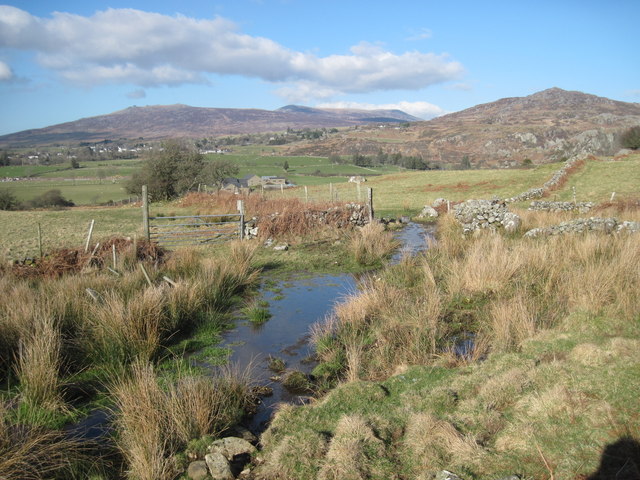
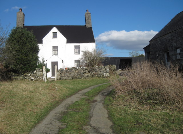
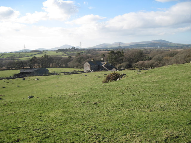
Coed Leslie Bonnet, located in Caernarfonshire, is a picturesque woodland area known for its natural beauty and serene atmosphere. Situated in the northwestern part of Wales, this forest is a popular destination for nature lovers and outdoor enthusiasts.
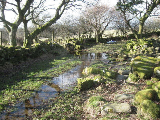
Covering an area of approximately 200 hectares, Coed Leslie Bonnet is home to a diverse range of flora and fauna. The woodland boasts a mixture of deciduous and coniferous trees, including oak, beech, pine, and spruce, creating a vibrant and colorful landscape throughout the year. The forest floor is adorned with a variety of wildflowers, adding to the charm of the surroundings.
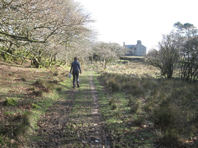
Visitors can enjoy a range of activities in Coed Leslie Bonnet. The forest offers several walking trails, allowing visitors to explore its natural wonders at their own pace. These trails are well-maintained and provide access to scenic viewpoints, tranquil streams, and hidden clearings. Birdwatchers will also find delight in the forest, as it is home to a wide array of bird species, including woodpeckers, owls, and various songbirds.
Coed Leslie Bonnet is managed by local authorities who prioritize the preservation of its natural habitat. The forest provides a sanctuary for wildlife and serves as an important ecological site. Efforts are made to protect the delicate balance of the ecosystem and ensure the sustainability of the forest for future generations.
Overall, Coed Leslie Bonnet is a captivating woodland destination that offers a peaceful retreat from the hustle and bustle of everyday life. Its natural beauty, diverse wildlife, and well-maintained trails make it a must-visit location for anyone seeking tranquility and a connection with nature.
If you have any feedback on the listing, please let us know in the comments section below.
Coed Leslie Bonnet Images
Images are sourced within 2km of 52.943124/-4.2237249 or Grid Reference SH5040. Thanks to Geograph Open Source API. All images are credited.


Coed Leslie Bonnet is located at Grid Ref: SH5040 (Lat: 52.943124, Lng: -4.2237249)
Unitary Authority: Gwynedd
Police Authority: North Wales
What 3 Words
///neatly.shell.churn. Near Criccieth, Gwynedd
Nearby Locations
Related Wikis

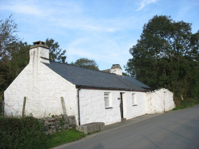
Ystumllyn
Ystumllyn is a Grade II* listed house in Criccieth, Wales. Founded in the late-16th-century, and significantly expanded in the early-18th-century, it is...
Dolbenmaen
Dolbenmaen () is a village and community in the Welsh county of Gwynedd, located in Eifionydd, of which it was the administrative centre until 1239. The...
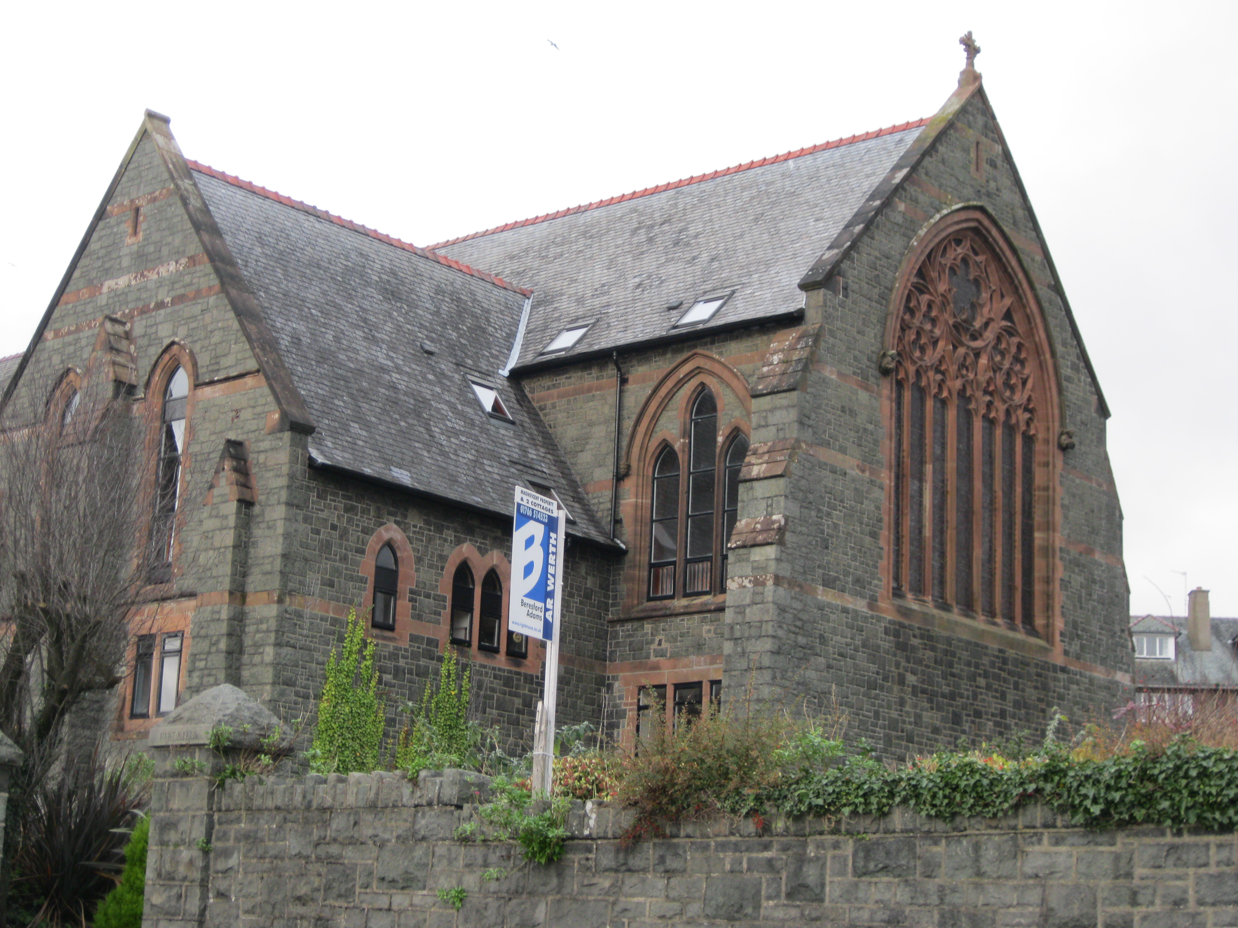
St Deiniol's Church, Criccieth
St Deiniol's Church (Welsh: Eglwys Deiniol Sant), was a church in Criccieth, Gwynedd, Wales (grid reference SH500381). It was built between 1884 and 1887...

Penllyn, Gwynedd
Penllyn is a former civil parish in the Welsh county of Gwynedd. The parish was created in 1894 from the part of Criccieth parish that lay outside the...

St Cynhaearn's Church, Ynyscynhaearn
St Cynhaearn's Church is a redundant church standing in an isolated position on Ynyscynhaearna, a former island in Llyn (Lake) Ystumllyn, 900 metres (980...

Criccieth railway station
Criccieth railway station serves the seaside town of Criccieth on the Llŷn Peninsula in Gwynedd, Wales. == History == The station was opened on 2 September...

Eifionydd
Eifionydd (Welsh pronunciation: [ɛiˈvjɔnɨð]) is an area in north-west Wales covering the south-eastern part of the Llŷn Peninsula from Porthmadog to just...

Criccieth Castle
Criccieth Castle (Welsh: Castell Cricieth; [kastɛɬ ˈkrɪkjɛθ]) is a ruined thirteenth-century castle in Criccieth, Gwynedd, Wales. It is located on a rocky...
Nearby Amenities
Located within 500m of 52.943124,-4.2237249Have you been to Coed Leslie Bonnet?
Leave your review of Coed Leslie Bonnet below (or comments, questions and feedback).