Allt y Rhôs

Wood, Forest in Carmarthenshire

Wales

Allt y Rhôs

Pont-ar-Gothi, bridge over River Cothi
Pont-ar-Gothi, bridge over River Cothi Credit: Colin Pyle

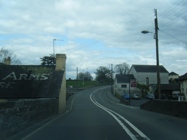
Allt y Rhôs is a captivating woodland area located in Carmarthenshire, Wales. Spanning a vast area, it is renowned for its natural beauty and diverse ecosystem. The woodland is situated near the village of Cynwyl Elfed and is easily accessible to visitors seeking tranquility and a connection with nature.

The forest is characterized by its lush greenery, comprising a mix of broadleaf and coniferous trees such as oak, beech, and pine. These trees provide a habitat for a wide variety of wildlife, including birds, mammals, and insects. The forest floor is adorned with a rich carpet of ferns and wildflowers, adding to its enchanting atmosphere.

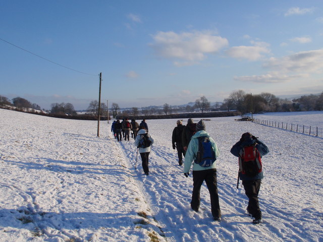
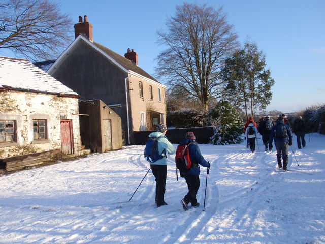
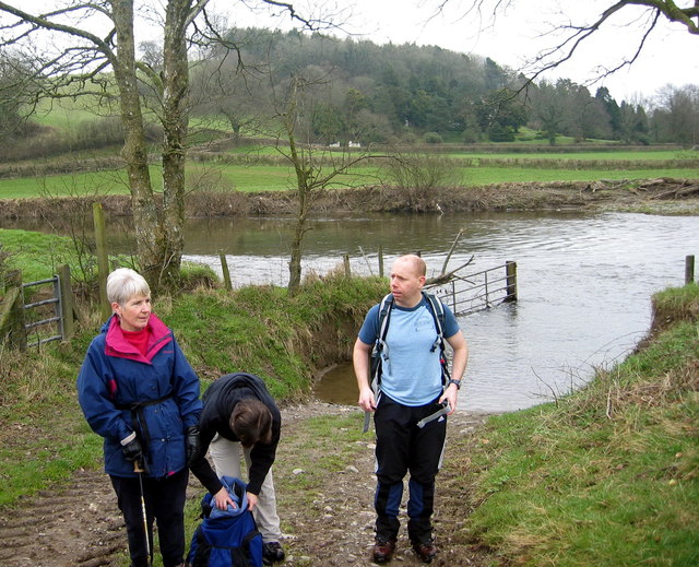
Allt y Rhôs offers a range of walking trails, allowing visitors to explore its wonders at their own pace. The trails wind through the woodland, affording breathtaking views of the surrounding countryside. Along the way, there are several picnic spots and benches where visitors can rest and admire the scenery.

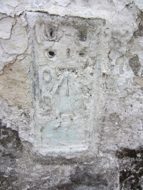
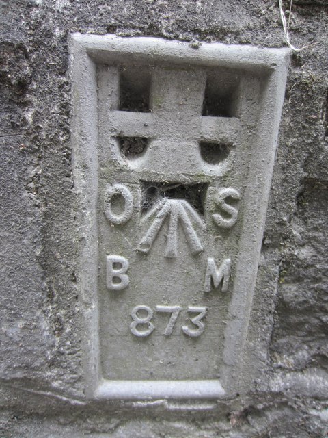
The woodland also holds historical significance, with remnants of ancient settlements and burial mounds scattered throughout. These archaeological features provide a glimpse into the region's past and offer an intriguing aspect to the visit.

Allt y Rhôs is a haven for nature enthusiasts, providing ample opportunities for birdwatching, photography, and simply immersing oneself in the serenity of the forest. The site is well-maintained, with informative signposts and facilities for visitors to make the most of their experience.

In summary, Allt y Rhôs is a captivating woodland area in Carmarthenshire, offering a peaceful retreat and a chance to appreciate the beauty of nature.

If you have any feedback on the listing, please let us know in the comments section below.
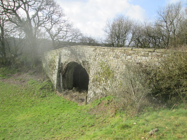
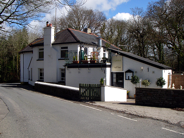
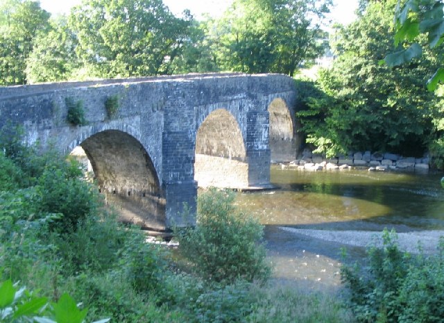
Allt y Rhôs Images

Images are sourced within 2km of 51.856474/-4.1760875 or Grid Reference SN5019. Thanks to Geograph Open Source API. All images are credited.

Pont-ar-Gothi, bridge over River Cothi
Ordnance Survey Flush Bracket (874) This heavily painted over OS Flush Bracket (874) can be found on the north face of the stables at Bremenda Uchafa. It was used during the Second Geodetic Levelling of England & Wales (1912-21) Carmarthen - Llandovery Levelling Line. Also the Third Geodetic Levelling of England & Wales (1950-68) Llandovery - Carmarthen Levelling Line. It marks a point 81.5330ft above mean sea level.
Ordnance Survey Flush Bracket (874)
This heavily painted over OS Flush Bracket (874) can be found on the north face of the stables at Bremenda Uchafa. It was used during the Second Geodetic Levelling of England & Wales (1912-21) Carmarthen - Llandovery Levelling Line. Also the Third Geodetic Levelling of England & Wales (1950-68) Llandovery - Carmarthen Levelling Line. It marks a point 81.5330ft above mean sea level.
Ordnance Survey Flush Bracket (873) This OS Flush Bracket (873) can be found on the south east face of Pont ar Ffinnant. It was used during the Second Geodetic Levelling of England & Wales (1912-21) Carmarthen - Llandovery Levelling Line. Also the Third Geodetic Levelling of England & Wales (1950-68) Llandovery - Carmarthen Levelling Line. It marks a point 63.6340ft above mean sea level.
Ordnance Survey Flush Bracket (873)
This OS Flush Bracket (873) can be found on the south east face of Pont ar Ffinnant. It was used during the Second Geodetic Levelling of England & Wales (1912-21) Carmarthen - Llandovery Levelling Line. Also the Third Geodetic Levelling of England & Wales (1950-68) Llandovery - Carmarthen Levelling Line. It marks a point 63.6340ft above mean sea level.
Llwybr Llwchgwyn Path Cerddwyr yn dilyn llwybr cyhoeddus tuag at Ffarm Llwchgwyn.

Walkers following a public footpath in the direction of Llwchgwyn Farm (trans. fair lake/ pond?).
Llwybr Llwchgwyn Path
Cerddwyr yn dilyn llwybr cyhoeddus tuag at Ffarm Llwchgwyn. Walkers following a public footpath in the direction of Llwchgwyn Farm (trans. fair lake/ pond?).
Ffarm Llwch Gwyn Farm Cerddwyr yn mynd heibio i Ffarm Llwchgwyn wrth iddynt anelu at bentre Llanegwad.

Walkers passing Llwchgwyn Farm (trans. fair pond / lake?) on route to the village of Llanegwad (St Egwad's Church).
Ffarm Llwch Gwyn Farm
Cerddwyr yn mynd heibio i Ffarm Llwchgwyn wrth iddynt anelu at bentre Llanegwad. Walkers passing Llwchgwyn Farm (trans. fair pond / lake?) on route to the village of Llanegwad (St Egwad's Church).
Llwybr Afon Cothi Path Cerddwyr yn cael seibiant ar lan Afon Cothi. Mae'r ffarmwr yn rhydio'r afon yn y fan hon gan fod tir ganddo ar yr ochr arall. 

Walkers having a rest on the banks on the Cothi River. The farmer fords the river at this location as he owns land on the other side.
Llwybr Afon Cothi Path
Cerddwyr yn cael seibiant ar lan Afon Cothi. Mae'r ffarmwr yn rhydio'r afon yn y fan hon gan fod tir ganddo ar yr ochr arall. Walkers having a rest on the banks on the Cothi River. The farmer fords the river at this location as he owns land on the other side.
Milestone - Llandeilo 9
Ordnance Survey Rivet This OS rivet can be found on the east parapet of the railway bridge. It marks a point 23.302m above mean sea level. <a title="https://www.geograph.org.uk/photo/4369367" href="https://www.geograph.org.uk/photo/4369367">Link</a>
Ordnance Survey Rivet
This OS rivet can be found on the east parapet of the railway bridge. It marks a point 23.302m above mean sea level. Link
Railway Bridge Dismantled railway line. There is an Ordnance Survey rivet on the east parapet of the bridge. <a title="https://www.geograph.org.uk/photo/4369363" href="https://www.geograph.org.uk/photo/4369363">Link</a>
Railway Bridge
Dismantled railway line. There is an Ordnance Survey rivet on the east parapet of the bridge. Link
Looking south The bridge is over the Nant Pibwr not far from its source.
Looking south
The bridge is over the Nant Pibwr not far from its source.
Pub The pub 'Y Polyn'.
Pub
The pub 'Y Polyn'.
Unimproved Grassland This field is not well drained and has rushes growing on it. It is late April, and the trees in the wood beyond are beginning to get their leaves.
Unimproved Grassland
This field is not well drained and has rushes growing on it. It is late April, and the trees in the wood beyond are beginning to get their leaves.
Bridge over the river Towy near Nantgaredig This bridge is on the road to Nantgaredig, which is to the north, on the other side of the bridge in the picture.
Bridge over the river Towy near Nantgaredig
This bridge is on the road to Nantgaredig, which is to the north, on the other side of the bridge in the picture.
Bridges over the Cothi river at Pontargothi The road and pedestrian bridges cross the river together.
Bridges over the Cothi river at Pontargothi
The road and pedestrian bridges cross the river together.
Car Park and Picnic Area on the B4300 A small car park and some picnic tables in the trees on the eastbound B4300 between Capel Dewi and Llanarthne.
Car Park and Picnic Area on the B4300
A small car park and some picnic tables in the trees on the eastbound B4300 between Capel Dewi and Llanarthne.
Flood plain This is where two flood plains meet. The Rivers Towy and Cothi meet across the valley from here.
Flood plain
This is where two flood plains meet. The Rivers Towy and Cothi meet across the valley from here.
Milestone Milestone on the B4300.
'From Carmarthen 5 Miles
To Llandilo 9 3/4'.
Milestone
Milestone on the B4300. 'From Carmarthen 5 Miles To Llandilo 9 3/4'.
Stile/gate combination I've never seen one of these before.  A stile with a gate on top of it.  It was entering someone's private land and there was a similar affair previously built at the other end though this had since collapsed to the floor.
Stile/gate combination
I've never seen one of these before. A stile with a gate on top of it. It was entering someone's private land and there was a similar affair previously built at the other end though this had since collapsed to the floor.
Show me another place!

Allt y Rhôs is located at Grid Ref: SN5019 (Lat: 51.856474, Lng: -4.1760875)

Unitary Authority: Carmarthenshire

Police Authority: Dyfed Powys

What 3 Words

///frosted.ramp.precluded. Near Llanddarog, Carmarthenshire

Related Wikis

Afon Cothi

The Afon Cothi (also known as the River Cothy) in Carmarthenshire is the largest tributary of the River Tywi in south Wales. From its source at Blaen Cothi...

Nantgaredig railway station

Nantgaredig railway station served to village of Nantgaredig, Carmarthenshire, Wales from 1865 to 1963 on the Llanelly Railway. == History == The station...

Pont-ar-Gothi

Pont-ar-gothi (otherwise Pontargothi or Cothi Bridge) is a village in Carmarthenshire, West Wales. The village takes its name from the bridge where the...

Nantgaredig

Nantgaredig is a village in Carmarthenshire, Wales. It is about 4 miles (6.4 km) east of the county town of Carmarthen on the A40 in the parish of Llanegwad...

Llanegwad

Llanegwad () is a village and community located in Carmarthenshire, Wales. The population taken at the 2011 census was 1,473.Llanegwad is built up mainly...

Capel Dewi, Carmarthenshire

Capel Dewi is a small village in Carmarthenshire, Wales. The village is built on raised ground to the south of the River Towy, and to the east of the area...

District of Carmarthen

Carmarthen District Council (Welsh: Caerfyrddin) was one of six local government districts of the county of Dyfed, west Wales, from 1974 to 1996. ��2...

National Botanic Garden of Wales

The National Botanic Garden of Wales (Welsh: Gardd Fotaneg Genedlaethol Cymru) is a botanical garden located in Llanarthney in the River Tywi valley, Carmarthenshire...

Nearby Amenities

Located within 500m of 51.856474,-4.1760875
The data included in this document is from www.openstreetmap.org. The data is made available under ODbL.

Have you been to Allt y Rhôs?

Leave your review of Allt y Rhôs below (or comments, questions and feedback).