Allt Craig-Arth
Wood, Forest in Cardiganshire
Wales
Allt Craig-Arth

Allt Craig-Arth is a woodland area located in Cardiganshire, Wales. It is nestled in the picturesque countryside, offering a serene and tranquil natural environment. The woodland covers a vast area and is known for its diverse flora and fauna, making it a popular destination for nature enthusiasts.
The woodland is predominantly composed of native tree species such as oak, beech, and birch. These trees provide a dense canopy, creating shaded areas that are perfect for leisurely walks and hikes. The forest floor is covered in a rich carpet of moss and ferns, adding to the enchanting atmosphere of the woodland.
Allt Craig-Arth is home to a variety of wildlife, including birds, mammals, and insects. Birdwatchers can spot species such as woodpeckers, owls, and various songbirds. Deer and rabbits can occasionally be seen grazing in the meadows surrounding the woodland.
The woodland also contains a network of well-maintained footpaths and trails, allowing visitors to explore the area at their own pace. These paths lead to stunning viewpoints, offering panoramic vistas of the surrounding countryside and nearby mountains.
Allt Craig-Arth is a designated Site of Special Scientific Interest (SSSI), highlighting its ecological importance and unique biodiversity. It is managed by local conservation organizations to preserve its natural beauty and ensure the sustainability of its ecosystem.
Overall, Allt Craig-Arth is a haven for nature lovers, offering a peaceful retreat from the hustle and bustle of everyday life. Its stunning landscapes and abundant wildlife make it a must-visit destination for anyone seeking a connection with nature.
If you have any feedback on the listing, please let us know in the comments section below.
Allt Craig-Arth Images
Images are sourced within 2km of 52.240567/-4.2017348 or Grid Reference SN4962. Thanks to Geograph Open Source API. All images are credited.


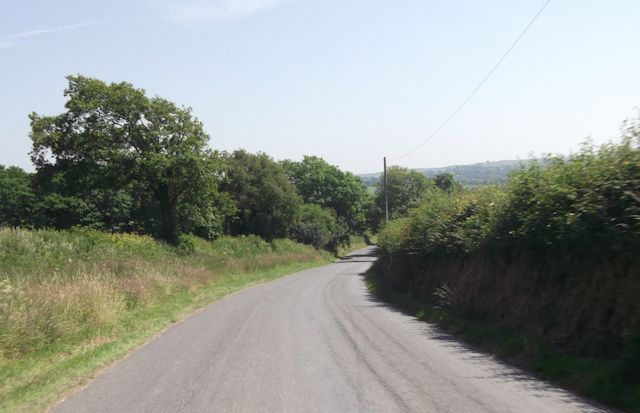


![Esgair Arth Llwybr cyhoeddus dymunol ger Ffarm Esgair Arth.
A pleasant public footpath near Esgair Arth Farm (trans [river] Arth ridge).](https://s3.geograph.org.uk/geophotos/04/10/25/4102543_c916ecd4.jpg)
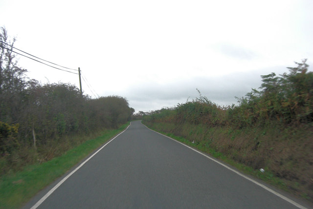
![Llwybr Esgair Arth Path Llwybr cyhoeddus yn arwain o Ffarm Esgair Arth i gyfeiriad pentre glan mor Aberarth.
A public footpath leading from Esagir Arth Farm ([river] Arth ridge) in the direction of the seaside village of Aberarth (trans. mouth of the river Arth).](https://s0.geograph.org.uk/geophotos/04/10/25/4102568_e06f4489.jpg)


Allt Craig-Arth is located at Grid Ref: SN4962 (Lat: 52.240567, Lng: -4.2017348)
Unitary Authority: Ceredigion
Police Authority: Dyfed Powys
What 3 Words
///again.balancing.strict. Near Aberaeron, Ceredigion
Nearby Locations
Related Wikis

Dinerth Castle
The Castle of Dinerth (Welsh: Castell Dineirth, Castell Dinerth, or Castell Allt Craig Arth) is a Welsh castle located near Aberarth, Ceredigion, west...
Monachty
Monachty is a small village in the community of Dyffryn Arth, Ceredigion, Wales, which is 67.8 miles (109.1 km) from Cardiff and 180.4 miles (290.4 km...
Pennant, Ceredigion
Pennant is a village in the community of Dyffryn Arth, Ceredigion, Wales. Pennant is represented in the Senedd by Elin Jones (Plaid Cymru) and is part...
River Arth
The River Arth is a small river that rises in the hills near Bethania, Ceredigion, Wales, and runs west for 15 miles (24 km) and discharges into Cardigan...
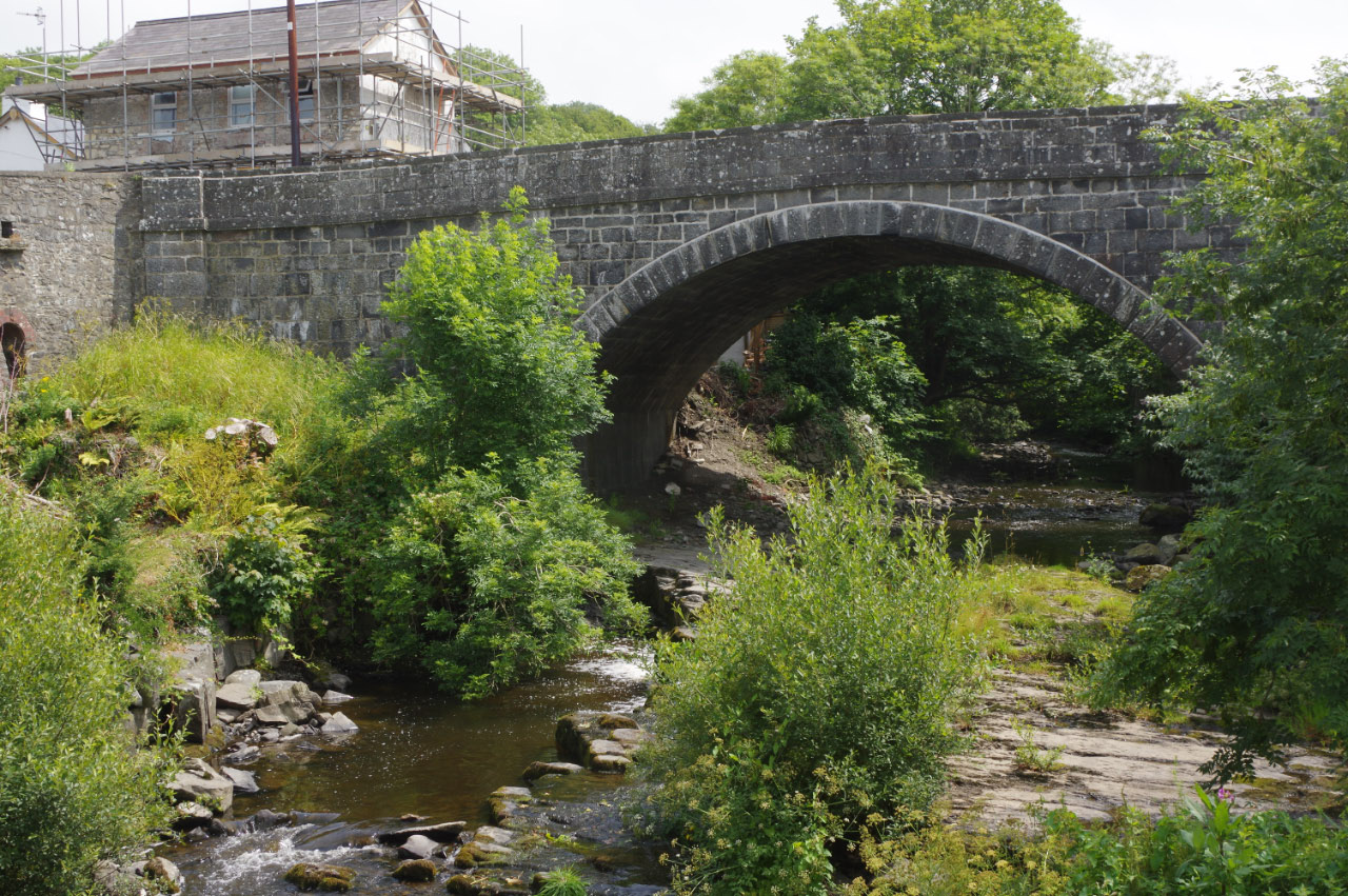
Pont Aberarth
Pont Aberarth, also known as the Llanddewi-Aberarth Bridge, is a single-arched grade II listed bridge, which spans the River Arth in the village of Aberarth...
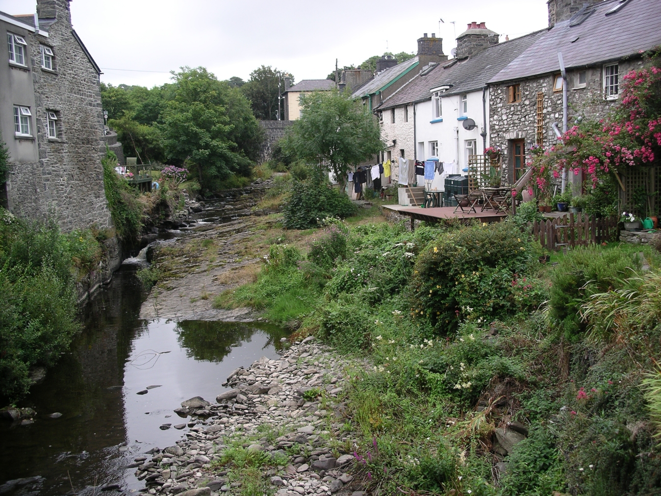
Aberarth
Aberarth is a village in Ceredigion, Wales, in the community of Dyffryn Arth, on the southern end of Cardigan Bay between Aberystwyth and Cardigan at the...
Tŷ Glyn
Tŷ Glyn or Tyglyn is a small village in the community of Ciliau Aeron, Ceredigion, Wales, which is 67.1 miles (107.9 km) from Cardiff and 180.5 miles...

Ffoshelyg
Ffoshelyg is a hamlet in Ceredigion, Wales. The estate at Ffoshelyg was once owned by Hugh Lloyd (fl. 1608). As of 2016 it is dominated by a family-run...
Nearby Amenities
Located within 500m of 52.240567,-4.2017348Have you been to Allt Craig-Arth?
Leave your review of Allt Craig-Arth below (or comments, questions and feedback).