Allt Craig-lantern

Wood, Forest in Cardiganshire

Wales

Allt Craig-lantern

Harvesting silage, between Llanwenog and  Brynteg
Harvesting silage, between Llanwenog and Brynteg Credit: John Lord

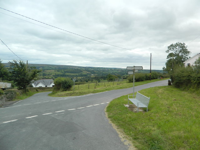
Allt Craig-lantern is a wood located in Cardiganshire, Wales. Covering an area of approximately 200 acres, it is a picturesque forest that attracts nature enthusiasts and hikers alike.

The wood is characterized by its dense canopy of trees, predominantly consisting of oak, beech, and pine. The towering trees create a tranquil and shady environment, providing a haven for a diverse range of flora and fauna. The forest floor is carpeted with a vibrant array of wildflowers, ferns, and mosses, adding to the enchanting atmosphere.

Several walking trails wind through Allt Craig-lantern, offering visitors the opportunity to explore and appreciate its natural beauty. The trails vary in difficulty, catering to both casual strollers and more experienced hikers. Along the way, hikers may encounter babbling brooks, small waterfalls, and even the occasional glimpse of local wildlife, such as deer, rabbits, and various bird species.

The wood is particularly popular during the autumn months when the trees transform into a kaleidoscope of vibrant colors, creating a breathtaking spectacle. Photography enthusiasts are often drawn to Allt Craig-lantern during this time, eager to capture the stunning scenery.

For those seeking a peaceful retreat in nature, Allt Craig-lantern offers several picnic areas where visitors can relax and enjoy the tranquil surroundings. The wood is easily accessible by car, with ample parking available nearby.

Overall, Allt Craig-lantern is a captivating forest that showcases the natural beauty of Cardiganshire. With its diverse plant and animal life, scenic trails, and serene ambiance, it is a must-visit destination for nature lovers and outdoor enthusiasts.

If you have any feedback on the listing, please let us know in the comments section below.

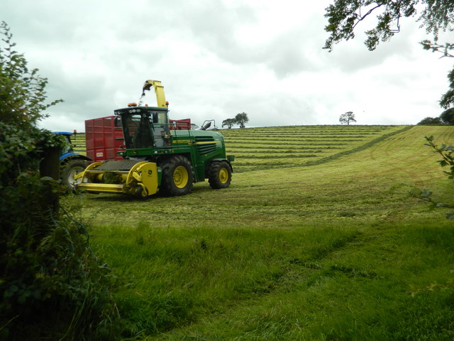
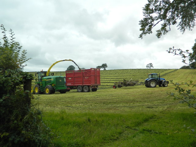
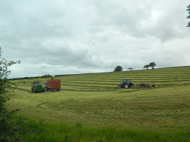
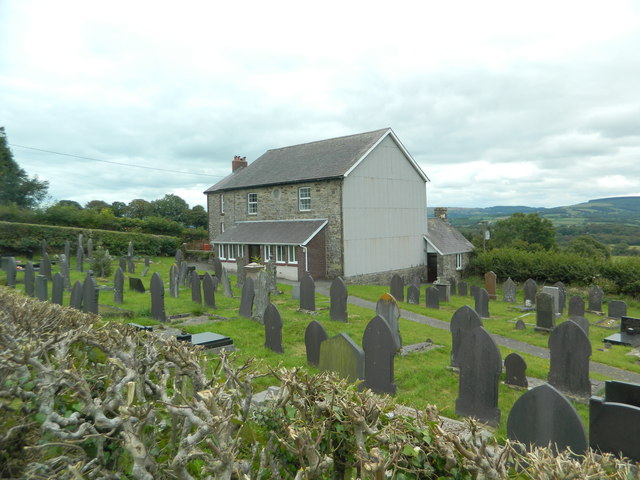
Allt Craig-lantern Images

Images are sourced within 2km of 52.064433/-4.1948232 or Grid Reference SN4942. Thanks to Geograph Open Source API. All images are credited.

Harvesting silage, between Llanwenog and  Brynteg
Harvesting silage, between Llanwenog and Brynteg
Graveyard and converted chapel, Brynteg
Crossroads, Brynteg
Crossroads, Brynteg
Ordnance Survey Cut Mark This OS cut mark can be found on the wall of Brynteg Chapel. It marks a point 168.034m above mean sea level.
Ordnance Survey Cut Mark
This OS cut mark can be found on the wall of Brynteg Chapel. It marks a point 168.034m above mean sea level.
Ordnance Survey Cut Mark This OS cut mark can be found on the gatepost south side of the road. It marks a point 121.951m above mean sea level.
Ordnance Survey Cut Mark
This OS cut mark can be found on the gatepost south side of the road. It marks a point 121.951m above mean sea level.
Ordnance Survey Cut Mark This OS cut mark can be found on the gatepost north side of the road.
Ordnance Survey Cut Mark
This OS cut mark can be found on the gatepost north side of the road.
Ordnance Survey Cut Mark This OS cut mark can be found on the gatepost SE side of the road. It marks a point 110.341m above mean sea level.
Ordnance Survey Cut Mark
This OS cut mark can be found on the gatepost SE side of the road. It marks a point 110.341m above mean sea level.
Ordnance Survey Cut Mark This OS cut mark can be found on the SW abutment of the railway bridge. It marks a point 102.173m above mean sea level.
Ordnance Survey Cut Mark
This OS cut mark can be found on the SW abutment of the railway bridge. It marks a point 102.173m above mean sea level.
Ordnance Survey Cut Mark This OS cut mark can be found on the south parapet of the bridge over the Nant Cleddlyn. It marks a point 91.924m above mean sea level.
Ordnance Survey Cut Mark
This OS cut mark can be found on the south parapet of the bridge over the Nant Cleddlyn. It marks a point 91.924m above mean sea level.
Ordnance Survey Cut Mark This OS cut mark can be found on the barn at Crug Y Whil. It marks a point 99.804m above mean sea level.
Ordnance Survey Cut Mark
This OS cut mark can be found on the barn at Crug Y Whil. It marks a point 99.804m above mean sea level.
Ordnance Survey Cut Mark This OS cut mark can be found on the wall at the entrance to Gellideg. It marks a point 123.938m above mean sea level.
Ordnance Survey Cut Mark
This OS cut mark can be found on the wall at the entrance to Gellideg. It marks a point 123.938m above mean sea level.
Ordnance Survey Cut Mark This OS cut mark can be found on Ty'n-ffynnon. It marks a point 106.590m above mean sea level.
Ordnance Survey Cut Mark
This OS cut mark can be found on Ty'n-ffynnon. It marks a point 106.590m above mean sea level.
Ordnance Survey Cut Mark This OS cut mark can be found on the ruin NW side of the road. It marks a point 116.485m above mean sea level.
Ordnance Survey Cut Mark
This OS cut mark can be found on the ruin NW side of the road. It marks a point 116.485m above mean sea level.
Ordnance Survey Cut Mark This OS cut mark can be found on the NW parapet of Pont-y-Henfaes. It marks a point 108.768m above mean sea level.
Ordnance Survey Cut Mark
This OS cut mark can be found on the NW parapet of Pont-y-Henfaes. It marks a point 108.768m above mean sea level.
A485 passes  Cein-coed The dwellings on the left appear to be Greenfield Terrace.
A485 passes Cein-coed
The dwellings on the left appear to be Greenfield Terrace.
A485 from entrance to Bwlchygwynt
Show me another place!

Allt Craig-lantern is located at Grid Ref: SN4942 (Lat: 52.064433, Lng: -4.1948232)

Unitary Authority: Ceredigion

Police Authority: Dyfed Powys

What 3 Words

///passwords.earlobe.botanists. Near Llandysul, Ceredigion

Nearby Locations

Allt Craig-lantern

Related Wikis

Rhuddlan, Ceredigion

Rhuddlan, Ceredigion is a small village in the community of Llanwenog, Ceredigion, Wales. Rhuddlan is represented in the Senedd by Elin Jones (Plaid Cymru...

Highmead

Highmead is a small village in the community of Llanwenog, Ceredigion, Wales, which is 59.2 miles (95.3 km) from Cardiff and 177.7 miles (286 km) from...

Aber-giar

Aber-giar (Welsh: Abergiâr) is a village in the community of Llanllwni in Carmarthenshire, Wales.

St Gwenog's Church, Llanwenog

St Gwenog's Church is a Church in Wales church near Llanybydder, Ceredigion, Wales. It is a medieval building dating back to the late fourteenth century...

Nearby Amenities

Located within 500m of 52.064433,-4.1948232
Source: npe
Lat/Long: 52.0649653/-4.197089
Power: pole
Lat/Long: 52.068697/-4.1952163
Power: pole
Lat/Long: 52.0681652/-4.1964126
Power: pole
Lat/Long: 52.0671438/-4.198781
Power: pole
Lat/Long: 52.0658585/-4.2016938
Direction: SE
Generator Method: photovoltaic
Generator Output Electricity: yes
Generator Solar Modules: 15
Generator Source: solar
Generator Type: solar_photovoltaic_panel
Location: roof
Power: generator
Lat/Long: 52.0653622/-4.1992611
The data included in this document is from www.openstreetmap.org. The data is made available under ODbL.

Have you been to Allt Craig-lantern?

Leave your review of Allt Craig-lantern below (or comments, questions and feedback).