Burn Hill

Settlement in Durham

England

Burn Hill

Penshaw Monument The monument to the Earl of Durham and freemasonry
Penshaw Monument Credit: Kevin Waterhouse

Burn Hill is a residential area located in Durham, England. Situated on the outskirts of the city, Burn Hill is known for its picturesque views of the surrounding countryside and its peaceful atmosphere. The area is primarily made up of traditional stone-built houses, many of which date back to the Victorian era.

Burn Hill is a popular choice for families and young professionals looking to escape the hustle and bustle of city life, while still being within easy reach of Durham's amenities and attractions. The area is well-connected by public transportation, with regular bus services running to the city center and surrounding areas.

In addition to its residential properties, Burn Hill is also home to a number of local shops, cafes, and pubs, providing residents with all the necessary amenities close to hand. The area is surrounded by green spaces and parks, making it a great choice for those who enjoy outdoor activities and nature walks.

Overall, Burn Hill offers a tranquil and scenic setting for those looking to settle down in a charming and welcoming community.

If you have any feedback on the listing, please let us know in the comments section below.
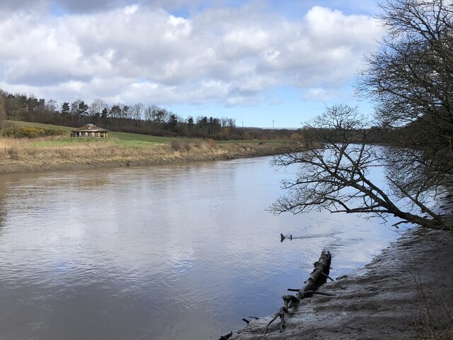
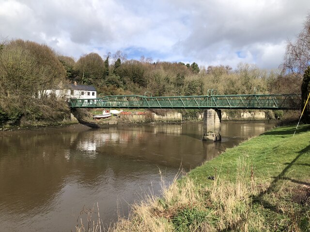
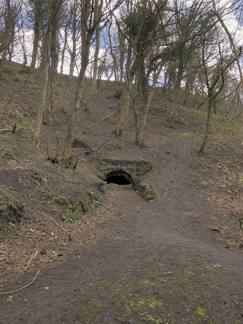
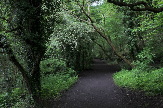
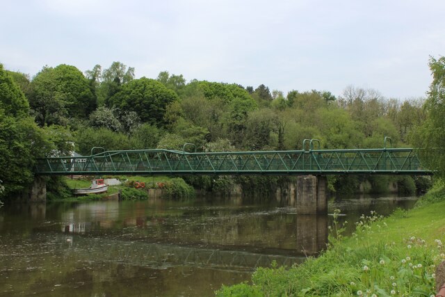
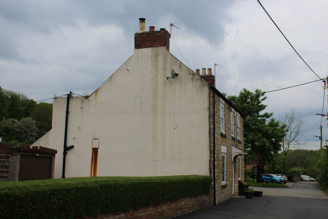
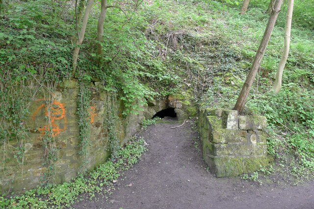
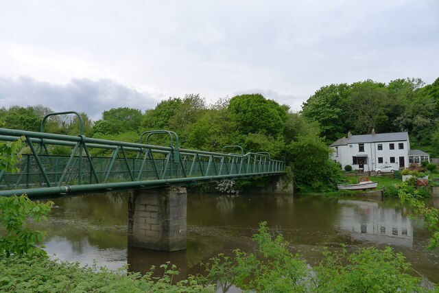
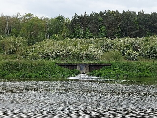
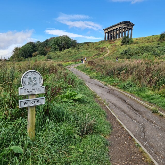
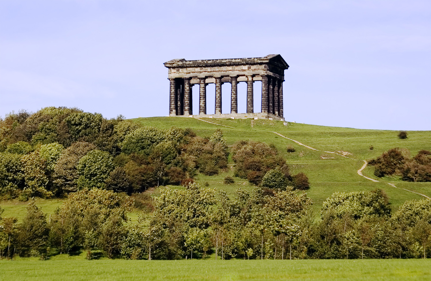
Burn Hill Images

Images are sourced within 2km of 54.878556/-1.473173 or Grid Reference NZ3353. Thanks to Geograph Open Source API. All images are credited.

Penshaw Monument The monument to the Earl of Durham and freemasonry
Penshaw Monument
The monument to the Earl of Durham and freemasonry
View from Penshaw Hill Looking south east from the path around the hill a short way down from the summit.
View from Penshaw Hill
Looking south east from the path around the hill a short way down from the summit.
Flinton Hill Farm An agricultural landscape south east of Penshaw Hill
Flinton Hill Farm
An agricultural landscape south east of Penshaw Hill
An Empty Monument On a sunny Sunday afternoon in August there were people all over the monument most of the time and I didn't think I'd get a clear picture, but just for a few seconds there was nothing but a small dog in there
An Empty Monument
On a sunny Sunday afternoon in August there were people all over the monument most of the time and I didn't think I'd get a clear picture, but just for a few seconds there was nothing but a small dog in there
River Wear beside Washington Waterfowl Park
Footbridge across River Wear at Cox Green
Adit in riverbank near Cox Green One of several adits in the vicinity of Cox Green. The tunnels were used to extract sandstone from beneath Penshaw Hill for loading onto boats moored on the adjacent River Wear,
Adit in riverbank near Cox Green
One of several adits in the vicinity of Cox Green. The tunnels were used to extract sandstone from beneath Penshaw Hill for loading onto boats moored on the adjacent River Wear,
Weardale Way heading towards Low Lambton and Cox Green The long distance footpath in woodland beside the River Wear
Weardale Way heading towards Low Lambton and Cox Green
The long distance footpath in woodland beside the River Wear
Footbridge across the River Wear at Cox Green Passing this structure on the Weardale Way - but not crossing it.
The footbridge replaced a ferry in 1958, which consisted of a solitary rowing boat.
Footbridge across the River Wear at Cox Green
Passing this structure on the Weardale Way - but not crossing it. The footbridge replaced a ferry in 1958, which consisted of a solitary rowing boat.
Barmston Ferry A rowing boat used to cross the River Wear at this point, until the footbridge was opened in 1958.
The scene photographed on the Weardale Way in Cox Green, upon the opposite bank.
Barmston Ferry
A rowing boat used to cross the River Wear at this point, until the footbridge was opened in 1958. The scene photographed on the Weardale Way in Cox Green, upon the opposite bank.
Oddfellows Arms, Cox Green Watering hole passed by on the Weardale Way long distance footpath
Oddfellows Arms, Cox Green
Watering hole passed by on the Weardale Way long distance footpath
River Wear beside Ayton's Wood The river has become tidal at this point, and appears to be flowing upstream as we follow the Weardale Way - which hugs the bank for several miles between Mount Pleasant and the outskirts of Sunderland.
It should be noted that the water has become pretty unpleasant looking, with several clumps of rubbish and debris floating around aimlessly.
River Wear beside Ayton's Wood
The river has become tidal at this point, and appears to be flowing upstream as we follow the Weardale Way - which hugs the bank for several miles between Mount Pleasant and the outskirts of Sunderland. It should be noted that the water has become pretty unpleasant looking, with several clumps of rubbish and debris floating around aimlessly.
Washington Sewage Treatment Works Outflow Flowing freely into the River Wear, as seen from the opposite bank on the Weardale Way
Washington Sewage Treatment Works Outflow
Flowing freely into the River Wear, as seen from the opposite bank on the Weardale Way
Disused quarry tunnel on the bank of the River Wear The tunnels connected the sandstone quarries at Lower Lambton with riverside wharves (ref. local notice board).
Disused quarry tunnel on the bank of the River Wear
The tunnels connected the sandstone quarries at Lower Lambton with riverside wharves (ref. local notice board).
Cox Green Footbridge Built in 1958 to replace a ferry service (a rowing boat aided by a wire rope-haul system) which closed in 1956 <span class="nowrap"><a title="https://www.bridgesonthetyne.co.uk/cox.html" rel="nofollow ugc noopener" href="https://www.bridgesonthetyne.co.uk/cox.html">Link</a><img style="margin-left:2px;" alt="External link" title="External link - shift click to open in new window" src="https://s1.geograph.org.uk/img/external.png" width="10" height="10"/></span> <span class="nowrap"><a title="https://sites.google.com/site/fatfieldsite/cox-green/ferry" rel="nofollow ugc noopener" href="https://sites.google.com/site/fatfieldsite/cox-green/ferry">Link</a><img style="margin-left:2px;" alt="External link" title="External link - shift click to open in new window" src="https://s1.geograph.org.uk/img/external.png" width="10" height="10"/></span> .
Cox Green Footbridge
Built in 1958 to replace a ferry service (a rowing boat aided by a wire rope-haul system) which closed in 1956 LinkExternal link LinkExternal link .
Sewage works outfall into the River Wear Looks to be quite a flow. The Wear is tidal at this point, and a bit 'scummy' looking in places.
Sewage works outfall into the River Wear
Looks to be quite a flow. The Wear is tidal at this point, and a bit 'scummy' looking in places.
Footpath junction on the Weardale Way The path to the right leads up Penshaw Hill to the prominent Penshaw Monument
Footpath junction on the Weardale Way
The path to the right leads up Penshaw Hill to the prominent Penshaw Monument
Penshaw Hill and Monument The footpath heavily scoured away after incredibly heavy rain the previous afternoon.

Description of the Monument here; //www.geograph.org.uk/photo/5719004
Penshaw Hill and Monument
The footpath heavily scoured away after incredibly heavy rain the previous afternoon. Description of the Monument here; //www.geograph.org.uk/photo/5719004
Show me another place!

Burn Hill is located at Grid Ref: NZ3353 (Lat: 54.878556, Lng: -1.473173)

Unitary Authority: Sunderland

Police Authority: Northumbria

What 3 Words

///alarm.lands.match. Near Washington, Tyne & Wear

Nearby Locations

Burn Hill

Related Wikis

Herrington Country Park

Herrington Country Park is a country park and open public space in Sunderland, Tyne and Wear. Located adjacent to Penshaw Monument, the park was built...

Offerton, Tyne and Wear

Offerton is a hamlet in the Sunderland district, of Tyne and Wear, England. It is situated about 4 miles (6.4 km) west of Sunderland city centre. ��2...
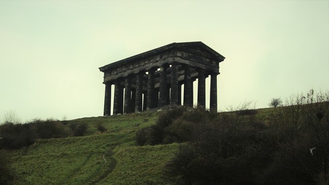
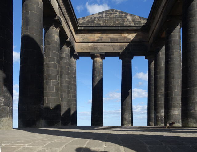
Penshaw Monument

The Penshaw Monument (officially the Earl of Durham's Monument) is a memorial in the style of an ancient Greek temple on Penshaw Hill in the metropolitan...

Penshaw

The village of Penshaw locally , formerly known as Painshaw or Pensher, is an area of the metropolitan district of the City of Sunderland, in Tyne and...

Nearby Amenities

Located within 500m of 54.878556,-1.473173
Barrier: cycle_barrier
Cycle Barrier: tilted
Lat/Long: 54.8780897/-1.4806172
Barrier: kissing_gate
Foot: yes
Lat/Long: 54.8760231/-1.4767687
Barrier: kissing_gate
Foot: yes
Lat/Long: 54.8757567/-1.475542
Bus Stop
Chester Road-Monument
Bench: no
Bin: no
Bus: yes
Local Ref: S
Naptan AtcoCode: 410000028027
Naptan Bearing: SW
Naptan Indicator: SW-Bound
Naptan Landmark: Opposite Penshaw Monument
Naptan NaptanCode: twrgdawa
Naptan Street: Chester Road
Naptan Verified: no
Public Transport: platform
Shelter: no
Source: naptan_import
Tactile Paving: no
Lat/Long: 54.8819493/-1.4773987
Crossing
Crossing: unmarked
Tactile Paving: no
Lat/Long: 54.8807915/-1.4782273
Crossing
Crossing: unmarked
Tactile Paving: no
Lat/Long: 54.881278/-1.4784003
Crossing
Crossing: unmarked
Tactile Paving: no
Lat/Long: 54.8807422/-1.4783613
Crossing
Crossing: unmarked
Tactile Paving: no
Lat/Long: 54.880716/-1.4789379
Crossing
Crossing: unmarked
Tactile Paving: no
Lat/Long: 54.8807916/-1.4789996
Carr Hill
Ele: 102
Natural: peak
Source: OD Streetview
Lat/Long: 54.8809408/-1.4697234
Artwork Type: sculpture
Material: stone
Tourism: artwork
Lat/Long: 54.8793118/-1.4801475
Tourism: viewpoint
Lat/Long: 54.8748883/-1.4726964
Information: board
Tourism: information
Lat/Long: 54.8777146/-1.4708215
Crossing
Crossing: unmarked
Tactile Paving: no
Lat/Long: 54.8812327/-1.4782604
Barrier: kissing_gate
Foot: yes
Lat/Long: 54.8812588/-1.4794011
Barrier: horse_stile
Lat/Long: 54.8812361/-1.4794397
Burn Hill
Ele: 65
Natural: peak
Lat/Long: 54.8782884/-1.4720773
Barrier: kissing_gate
Foot: yes
Lat/Long: 54.8758877/-1.4755247
Leisure: slipway
Lat/Long: 54.8776812/-1.4703307
Leisure: picnic_table
Lat/Long: 54.8777091/-1.4710431
Barrier: kissing_gate
Lat/Long: 54.8776801/-1.4735734
Leisure: picnic_table
Lat/Long: 54.8776665/-1.470837
Bench
Lat/Long: 54.8781772/-1.4790802
Leisure: picnic_table
Lat/Long: 54.8776608/-1.4711804
Information: board
Tourism: information
Lat/Long: 54.8785205/-1.4804627
Bench
Lat/Long: 54.8770225/-1.4676887
Bench
Lat/Long: 54.8751584/-1.4692873
Bench
Lat/Long: 54.8749608/-1.476375
The data included in this document is from www.openstreetmap.org. The data is made available under ODbL.

Have you been to Burn Hill?

Leave your review of Burn Hill below (or comments, questions and feedback).