Big Covert

Wood, Forest in Anglesey

Wales

Big Covert

B5110 near Glan Gors
B5110 near Glan Gors Credit: Steven Brown

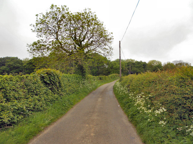
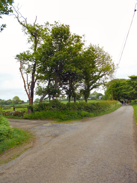
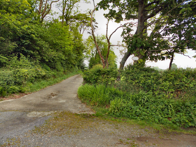
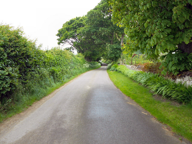
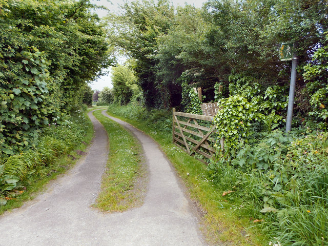
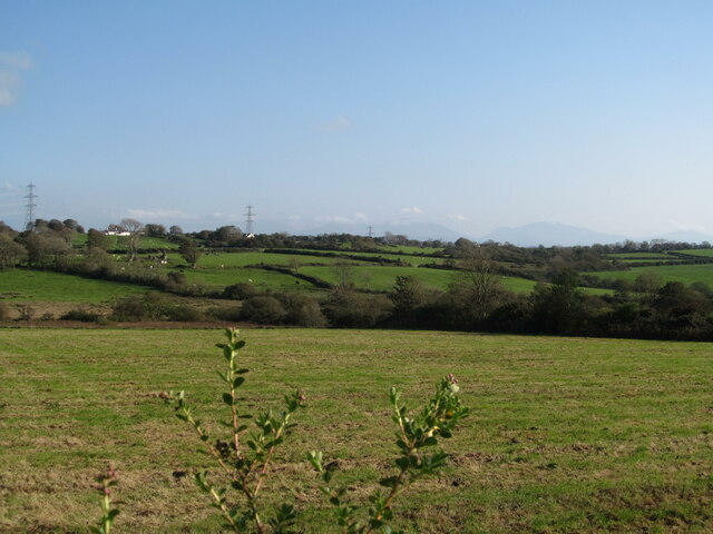
Big Covert is a woodland area located in Anglesey, Wales. Covering an approximate area of [insert size], it is a significant natural habitat and an important site for conservation. The woodland is characterized by a dense mixture of trees, including oak, beech, and birch, creating a diverse and vibrant ecosystem.

The woodland floor is covered in a thick layer of leaf litter, providing a rich habitat for a variety of plant and animal species. Wildflowers such as bluebells and primroses bloom in spring, adding bursts of color to the forest floor. The towering trees create a dense canopy, allowing only dappled sunlight to filter through, creating a tranquil and shaded environment.

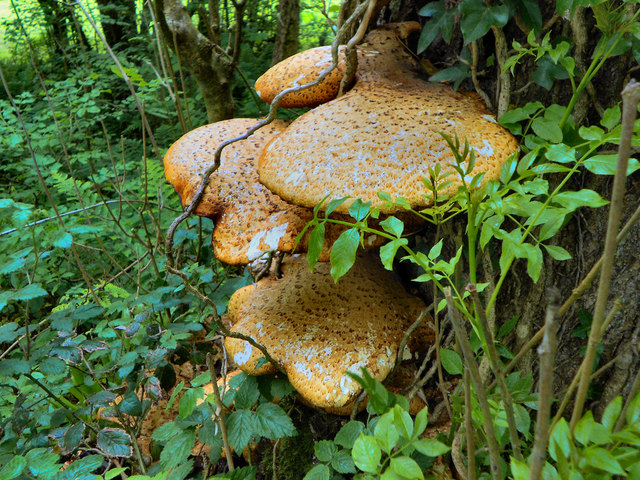
Big Covert is home to a wide range of wildlife. Various bird species, including woodpeckers, owls, and songbirds, can be heard throughout the woodland. Mammals such as badgers, foxes, and squirrels are also commonly spotted. The area is known for its biodiversity, with numerous insects, amphibians, and reptiles also calling it home.

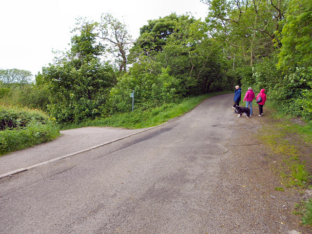
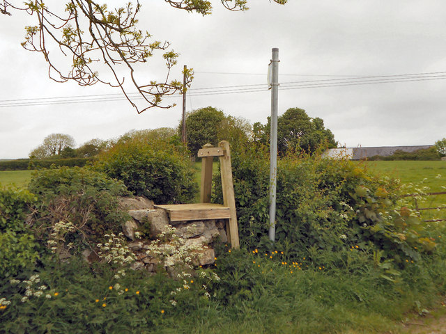
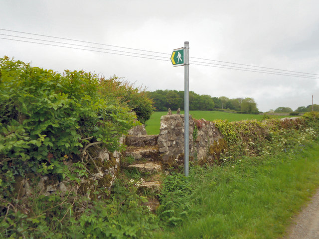
The woodland is well-maintained, with designated paths and trails for visitors to explore. These paths offer an opportunity for nature enthusiasts to enjoy a peaceful walk or hike while immersing themselves in the beauty of the natural surroundings. Big Covert also boasts a picnic area, making it a popular spot for families and individuals seeking to connect with nature.

Overall, Big Covert is a captivating woodland that offers a haven for wildlife, a diverse range of plant species, and a serene escape for visitors seeking solace in nature.

If you have any feedback on the listing, please let us know in the comments section below.
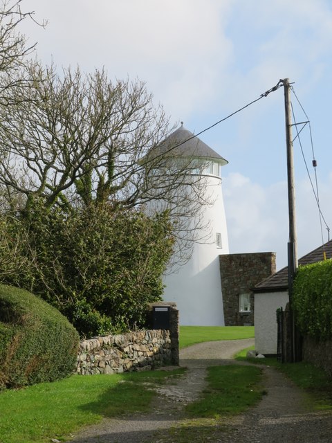
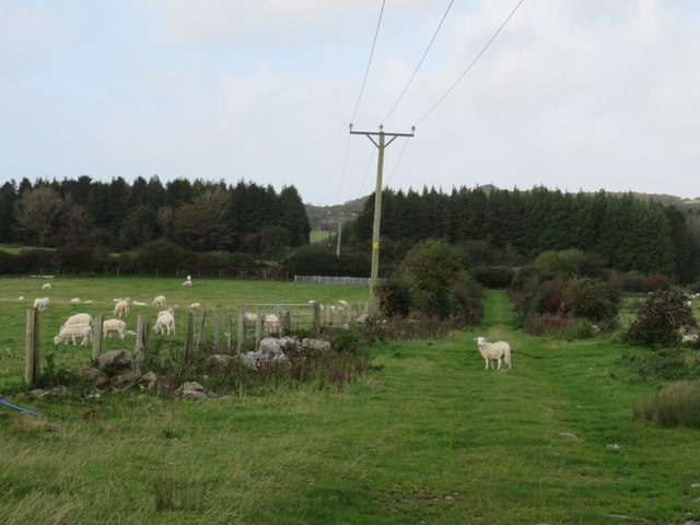
Big Covert Images

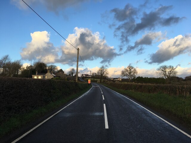
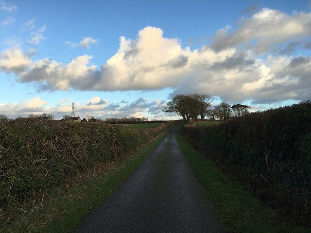
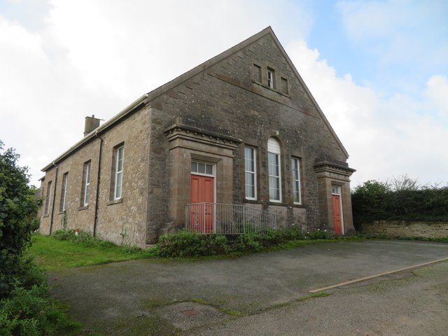
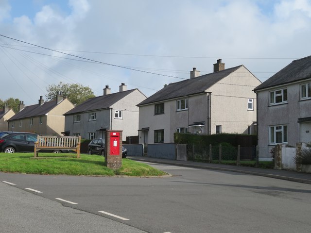
Images are sourced within 2km of 53.280774/-4.2648953 or Grid Reference SH4978. Thanks to Geograph Open Source API. All images are credited.

B5110 near Glan Gors
Minor road near Rhosmeirch
Old chapel at Talwrn Shown on late 19thC maps as 'Methodist Chapel', the building now appears to be unused, but still in relatively good condition.
Old chapel at Talwrn
Shown on late 19thC maps as 'Methodist Chapel', the building now appears to be unused, but still in relatively good condition.
Postbox and houses in Talwrn A village spread out around a triangle of roads with no obvious centre.
Postbox and houses in Talwrn
A village spread out around a triangle of roads with no obvious centre.
Converted windmill There must be dozens of old windmills across Anglesey, where wind is a feature, but fast flowing streams for water power are rare. This old mill was photographed by Nigel Williams in 2006 and Eric Jones in 2007, but since then the mill has been transformed into a desirable and unusual residence.
Converted windmill
There must be dozens of old windmills across Anglesey, where wind is a feature, but fast flowing streams for water power are rare. This old mill was photographed by Nigel Williams in 2006 and Eric Jones in 2007, but since then the mill has been transformed into a desirable and unusual residence.
Track towards a plantation Rural Anglesey with sheep in fields either side of the track.
Track towards a plantation
Rural Anglesey with sheep in fields either side of the track.
Llanddyfnan Unnamed rural roads.
Llanddyfnan
Unnamed rural roads.
Tree Fungus (Dryad's Saddle) This fungus was on the trunk, about one metre from the base of the tree (which I think was an Ash). It is Polyporus squamosus (Dryad's Saddle) <span class="nowrap"><a title="http://www.aie.org.uk/fungi_base/dryads/aie_fungi_polyporus.html" rel="nofollow ugc noopener" href="http://www.aie.org.uk/fungi_base/dryads/aie_fungi_polyporus.html">Link</a><img style="margin-left:2px;" alt="External link" title="External link - shift click to open in new window" src="https://s1.geograph.org.uk/img/external.png" width="10" height="10"/></span> , 

Thanks to M J Richardson for confirmation, see more pictures of Polyporus squamosus at <a title="https://www.geograph.org.uk/search.php?i=22226561" href="https://www.geograph.org.uk/search.php?i=22226561">Link</a> .
Tree Fungus (Dryad's Saddle)
This fungus was on the trunk, about one metre from the base of the tree (which I think was an Ash). It is Polyporus squamosus (Dryad's Saddle) LinkExternal link , Thanks to M J Richardson for confirmation, see more pictures of Polyporus squamosus at Link .
Minor Road, Llanddyfnan
Stile Near Pen-y-fan Bellaf
Entrance to Pen-y-fan Bellaf
Pen-y-fan Bellaf
Pen-y-fan Bellaf
The Road To Llanbedrgoch
Footpath to Bryn-seiri
Stone-stepped Stile Stone stile on the minor road near Llanddyfnan
Stone-stepped Stile
Stone stile on the minor road near Llanddyfnan
Former chapel at Glan Gors
Fields east of B5110 A shot over the top of a hedge of pasture land east of the B5110. Pylons in the distance are partly in this square and partly in an adjacent square.
Fields east of B5110
A shot over the top of a hedge of pasture land east of the B5110. Pylons in the distance are partly in this square and partly in an adjacent square.
Stile and footbridge on a slightly overgrown path east of Esgobaeth Bran
Show me another place!

Big Covert is located at Grid Ref: SH4978 (Lat: 53.280774, Lng: -4.2648953)

Unitary Authority: Isle of Anglesey

Police Authority: North Wales

What 3 Words

///compliant.calibrate.cone. Near Llangefni, Isle of Anglesey

Related Wikis

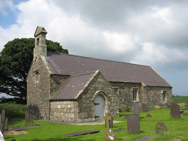
St Dyfnan's Church, Llanddyfnan

St Dyfnan's Church is a medieval church in the village of Llanddyfnan, Anglesey, Wales. The building dates from the 14th century and underwent extensive...

Llanddyfnan

Llanddyfnan is a village and community in Anglesey, Wales, located 3.5 miles (5.6 km) north east of Llangefni, 6.6 miles (10.6 km) north west of Menai...

Cors Bodeilio National Nature Reserve

Cors Bodeilio National Nature Reserve lies in a shallow valley outside Talwrn on the Isle of Anglesey. Most of the land consists of a lime-rich mire. This...

Talwrn

Talwrn is a small village between the county town of Llangefni and Pentraeth on the Isle of Anglesey, north Wales. Talwrn is most notable for the Grade...

Nearby Amenities

Located within 500m of 53.280774,-4.2648953
Power: pole
Lat/Long: 53.2846489/-4.2668366
Power: pole
Lat/Long: 53.2835328/-4.262706
Power: pole
Lat/Long: 53.2831223/-4.2611503
Power: pole
Lat/Long: 53.2839722/-4.2642885
Power: pole
Lat/Long: 53.2843795/-4.2658066
Power: pole
Lat/Long: 53.2827182/-4.2596751
Power: pole
Lat/Long: 53.2823513/-4.2585143
The data included in this document is from www.openstreetmap.org. The data is made available under ODbL.

Have you been to Big Covert?

Leave your review of Big Covert below (or comments, questions and feedback).