Coed y Gell

Wood, Forest in Anglesey

Wales

Coed y Gell

Wartime remains Understood to be one of the quadrant shelters for the WWII bombing range at Lligwy Bay.
Wartime remains Credit: Arthur C Harris

Coed y Gell, located in Anglesey, is a picturesque woodland area known for its natural beauty and diverse ecosystem. Covering an area of approximately 150 acres, this enchanting forest is a popular destination for nature enthusiasts and hikers alike.

The woodland is predominantly composed of native broadleaf trees such as oak, beech, and birch, which create a dense and verdant canopy. These trees provide a habitat for various bird species, including woodpeckers and owls, as well as small mammals like squirrels and rabbits.

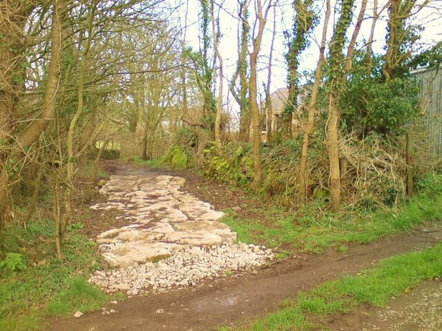
Within Coed y Gell, there are numerous well-maintained walking trails that wind through the woodland, allowing visitors to explore the area and immerse themselves in its tranquility. The paths are flanked by wildflowers, ferns, and moss-covered rocks, adding to the overall charm of the forest.

One of the highlights of Coed y Gell is its abundance of wildlife. The forest is home to a wide range of bird species, making it an ideal spot for birdwatching. Additionally, the presence of small mammals and insects adds to the biodiversity of the area, making it a haven for nature lovers.

Coed y Gell also offers amenities such as picnic areas and benches, allowing visitors to rest and enjoy the peaceful surroundings. The forest is well-maintained by local authorities, ensuring a safe and clean environment for visitors.

Overall, Coed y Gell is a captivating woodland area that showcases the natural beauty and biodiversity of Anglesey. With its scenic trails, diverse wildlife, and tranquil atmosphere, it is an ideal destination for those seeking a peaceful retreat in nature.

If you have any feedback on the listing, please let us know in the comments section below.
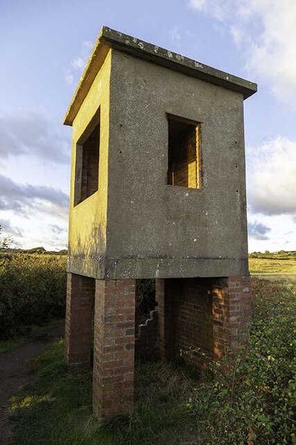
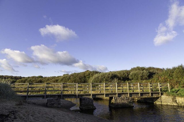
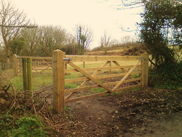
Coed y Gell Images

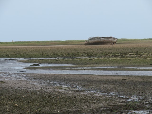
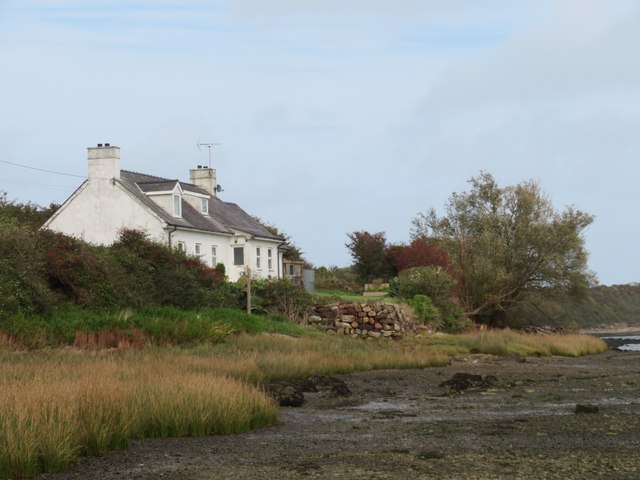
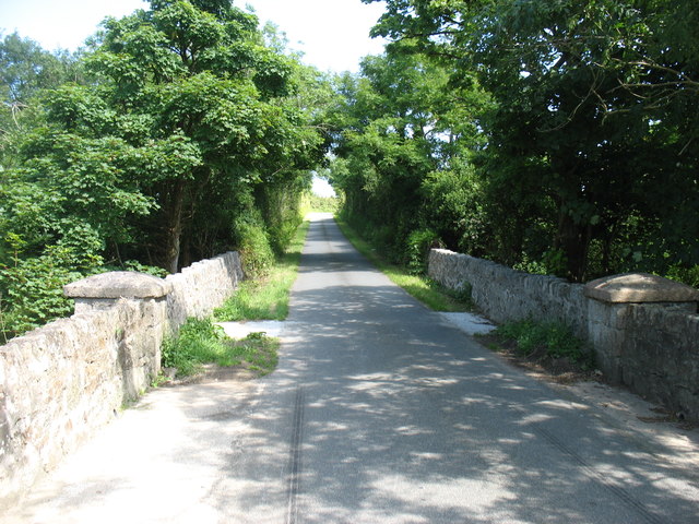
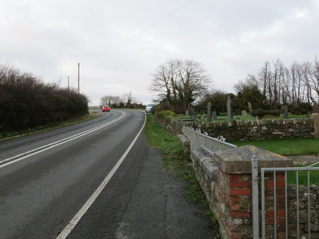
Images are sourced within 2km of 53.366833/-4.2828228 or Grid Reference SH4887. Thanks to Geograph Open Source API. All images are credited.

Wartime remains Understood to be one of the quadrant shelters for the WWII bombing range at Lligwy Bay.
Wartime remains
Understood to be one of the quadrant shelters for the WWII bombing range at Lligwy Bay.
Bridge over Afon Lligwy The Afon Lligwy on its journey to the sea at Traeth Lligwy
Bridge over Afon Lligwy
The Afon Lligwy on its journey to the sea at Traeth Lligwy
Minor road signpost Signpost on a t-junction on the road from the A5025 to Dulas and Lligwy Bay.
Minor road signpost
Signpost on a t-junction on the road from the A5025 to Dulas and Lligwy Bay.
Close grazed field near Dulas Bay Close grazed field near Dulas Bay looking out over Irish Sea
Close grazed field near Dulas Bay
Close grazed field near Dulas Bay looking out over Irish Sea
Double gate Double gate to a sheep field from the road to Traeth Dulas
Double gate
Double gate to a sheep field from the road to Traeth Dulas
Sheep field Sheep field near Dulas Bay from gate
Sheep field
Sheep field near Dulas Bay from gate
Path to beach Uneven and narrow path from farm track to Traeth Yr Ora
Path to beach
Uneven and narrow path from farm track to Traeth Yr Ora
Traeth Lligwy A view north along the deserted beach at Lligwy Bay.
Traeth Lligwy
A view north along the deserted beach at Lligwy Bay.
Towards an old wreck on Traeth Dulas Looking across this estuary with its combination of sand and mud. A popular feeding ground for waders such as curlew and oystercatcher.
Towards an old wreck on Traeth Dulas
Looking across this estuary with its combination of sand and mud. A popular feeding ground for waders such as curlew and oystercatcher.
Where the coast path turns left The Anglesey coast path turns away from the shore at this point after a sticky half mile along the shoreline.
Where the coast path turns left
The Anglesey coast path turns away from the shore at this point after a sticky half mile along the shoreline.
Anglesey coast path at Traeth Dulas A tricky route for half a mile here. One has the option of a very squelchy path through the vegetation on the left, or what appears to be an easier alternative along the shore, but don't expect firm sand or shingle as there's often an overlying layer of soft and slippery mud to mess up the trainers.
Anglesey coast path at Traeth Dulas
A tricky route for half a mile here. One has the option of a very squelchy path through the vegetation on the left, or what appears to be an easier alternative along the shore, but don't expect firm sand or shingle as there's often an overlying layer of soft and slippery mud to mess up the trainers.
"The Pilot Boat Inn" By the A5025 near City Dulas
"The Pilot Boat Inn"
By the A5025 near City Dulas
Shipwrecks on Traeth Dulas
Eglwys St Gwenllwyfo
The lane to Llaneuddog and Brynrefail The bridge is the Pont y Deri, but I have found no name for the minor stream which flows (from left to right) below. As for the name City Dulas for the nearby hamlet of less than a dozen houses, I can offer no explanation at all.
The lane to Llaneuddog and Brynrefail
The bridge is the Pont y Deri, but I have found no name for the minor stream which flows (from left to right) below. As for the name City Dulas for the nearby hamlet of less than a dozen houses, I can offer no explanation at all.
Road (A5025) at Llaneuddog Looking north-eastward from Sardis Chapel.
Road (A5025) at Llaneuddog
Looking north-eastward from Sardis Chapel.
View N along beach, Traeth yr Ora, Anglesey
Traeth Lligwy near Moelfre, Anglesey
Show me another place!

Coed y Gell is located at Grid Ref: SH4887 (Lat: 53.366833, Lng: -4.2828228)

Unitary Authority: Isle of Anglesey

Police Authority: North Wales

What 3 Words

///outpost.scarves.incurring. Near Moelfre, Isle of Anglesey

Nearby Locations

Coed y Gell

Related Wikis

Brynrefail

Brynrefail () is a small village in Gwynedd, Wales. == Location == It is located in the civil parish of Moelfre on the A5025 between Amlwch and Benllech...

Dulas Bay

Dulas Bay (Welsh: Bae Dulas) is a small bay on the north east coast of Anglesey (Ynys Môn), north Wales, forming the boundary between Llaneilian and Moelfre...

Dulas, Anglesey

Dulas () or City Dulas is a village in Anglesey, in north-west Wales. It is situated on the A5025 road, near the coast (Dulas Bay) at only 5 metres (16...

Nant y Perfedd

Nanty Perfedd is an area in the community of Moelfre, Anglesey, Wales, which is 137.6 miles (221.5 km) from Cardiff and 216.3 miles (348.1 km) from London...

Nearby Amenities

Located within 500m of 53.366833,-4.2828228
Traeth Dulas
Natural: bay
Lat/Long: 53.3707338/-4.283513
Barrier: kissing_gate
Lat/Long: 53.3642419/-4.2830002
The data included in this document is from www.openstreetmap.org. The data is made available under ODbL.

Have you been to Coed y Gell?

Leave your review of Coed y Gell below (or comments, questions and feedback).