Burmarsh
Settlement in Herefordshire
England
Burmarsh

The requested URL returned error: 429 Too Many Requests
If you have any feedback on the listing, please let us know in the comments section below.
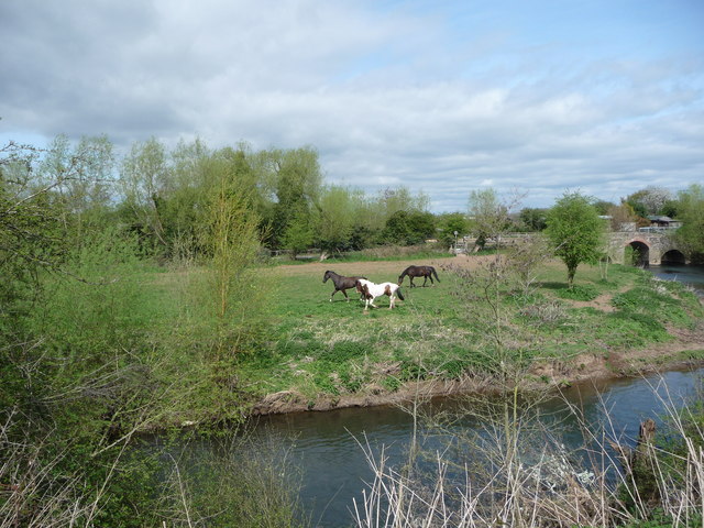
Burmarsh Images
Images are sourced within 2km of 52.119953/-2.6850576 or Grid Reference SO5347. Thanks to Geograph Open Source API. All images are credited.


Burmarsh is located at Grid Ref: SO5347 (Lat: 52.119953, Lng: -2.6850576)
Unitary Authority: County of Herefordshire
Police Authority: West Mercia
What 3 Words
///since.rucksack.happen. Near Sutton, Herefordshire
Nearby Locations
Related Wikis

Sutton Walls Hill Fort
Sutton Walls Hillfort is an elongated ovoid Iron Age Hill fort located 4 miles (6 km) north of the city of Hereford, England. It was added to the Sites...

Marden, Herefordshire
Marden is a village and civil parish in the English county of Herefordshire. Marden village is approximately 7 miles (11 km) due north of the city of Hereford...

Sutton Camera
Sutton Camera was a priory in Herefordshire, England at grid reference SO52654582. == References ==

Sutton, Herefordshire
Sutton is a civil parish in Herefordshire, England, about 3 miles (5 km) north-east from the county town and city of Hereford. The major settlement is...
Nearby Amenities
Located within 500m of 52.119953,-2.6850576Have you been to Burmarsh?
Leave your review of Burmarsh below (or comments, questions and feedback).