Allt Rhiwbren
Wood, Forest in Cardiganshire
Wales
Allt Rhiwbren

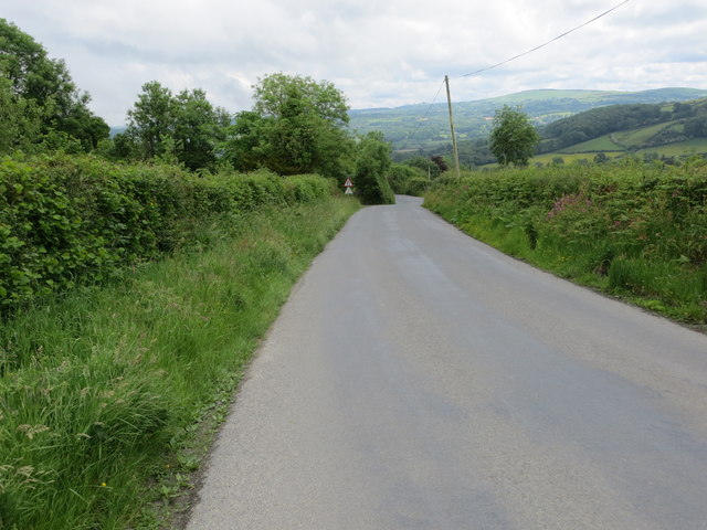
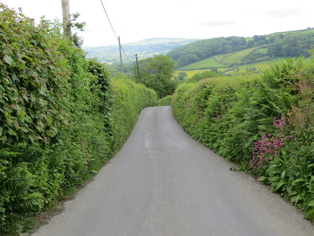
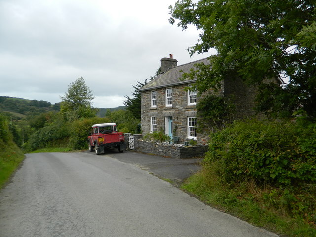
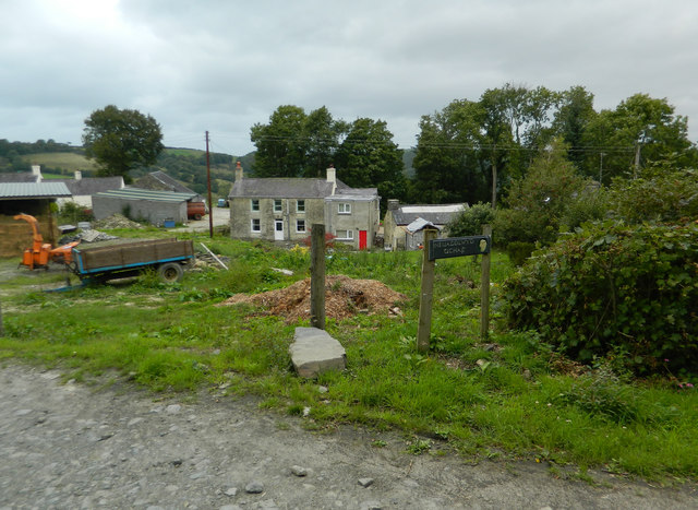
Allt Rhiwbren, located in Cardiganshire, is a beautiful wood or forest that holds significant natural and historical importance. Covering an area of approximately 200 acres, it is nestled within the stunning Cambrian Mountains.
The wood is characterized by a diverse range of flora and fauna. It is home to a variety of tree species, including oak, beech, birch, and ash, which create a dense and vibrant canopy overhead. The forest floor is carpeted with an array of wildflowers and ferns, adding to its enchanting beauty. Allt Rhiwbren is also known for its rich wildlife. Visitors may come across red kites, buzzards, and other bird species soaring above, while rabbits, badgers, and foxes can be spotted among the undergrowth.
Apart from its natural splendor, Allt Rhiwbren holds historical significance. The forest has ancient origins, with evidence of human presence dating back to the Bronze Age. It is believed that the wood was once part of a larger woodland that covered much of the surrounding area. Today, remnants of an old drovers' road can still be seen within the forest, serving as a reminder of its historical importance as a transport route.
Allt Rhiwbren offers visitors a peaceful and serene environment, making it a popular destination for nature enthusiasts, hikers, and picnickers. The forest provides a tranquil escape from the hustle and bustle of everyday life, allowing visitors to immerse themselves in the beauty of nature.
If you have any feedback on the listing, please let us know in the comments section below.
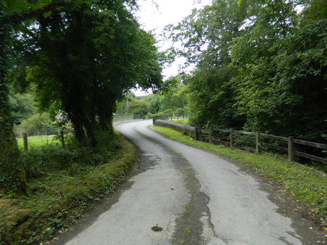
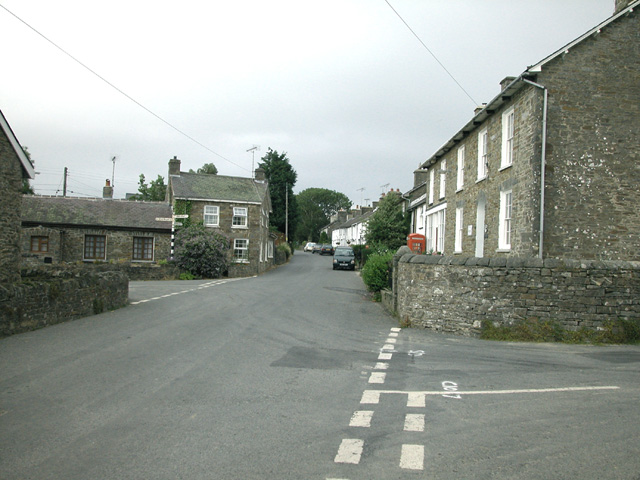
Allt Rhiwbren Images
Images are sourced within 2km of 52.194839/-4.2354107 or Grid Reference SN4757. Thanks to Geograph Open Source API. All images are credited.


Allt Rhiwbren is located at Grid Ref: SN4757 (Lat: 52.194839, Lng: -4.2354107)
Unitary Authority: Ceredigion
Police Authority: Dyfed Powys
What 3 Words
///veal.await.showering. Near Llanarth, Ceredigion
Nearby Locations
Related Wikis

Dihewyd
Dihewyd is a parish in the county of Ceredigion, West Wales with a population of about 200 people. It is 5 miles (8 km) from Aberaeron and 8 miles (13...
Oakford, Ceredigion
Oakford (Welsh Derwen Gam) is a hamlet in the Welsh county of Ceredigion. It is some 5 miles (8 km) south of the coastal town of Aberaeron. == External... ==

Foelallt
Foelallt is a small village in the community of Ciliau Aeron, Ceredigion, Wales, which is 66.2 miles (106.6 km) from Cardiff and 180.2 miles (290 km)...

Llanerch-Ayron Halt railway station
Llanerch-Ayron Halt was a small railway station on the Aberayron branch of the Carmarthen to Aberystwyth Line in the Welsh county of Ceredigion serving...
Have you been to Allt Rhiwbren?
Leave your review of Allt Rhiwbren below (or comments, questions and feedback).