Coed Cae-geifr

Wood, Forest in Caernarfonshire

Wales

Coed Cae-geifr

Road junction south of Llanwnda Near the start of the new Caernarfon by-pass (still under construction)
Road junction south of Llanwnda Credit: Eirian Evans

Coed Cae-geifr is a picturesque woodland located in Caernarfonshire, a county in northwestern Wales. Spanning over an area of approximately 200 acres, this enchanting forest is nestled amidst the stunning Snowdonia National Park and offers an idyllic retreat for nature enthusiasts and outdoor adventurers.

The forest's name, "Coed Cae-geifr," translates to "Wood of the Goat Field" in English. It is believed that the name stems from the presence of wild goats that once roamed the area. Today, however, the woodland is more known for its diverse flora and fauna.

The forest boasts a rich variety of tree species, including oak, beech, birch, and alder. These trees create a dense canopy that provides a habitat for an array of wildlife, such as birds, butterflies, and small mammals. Nature enthusiasts can explore the woodland's network of walking trails, which wind through the ancient trees and offer breathtaking views of the surrounding countryside.

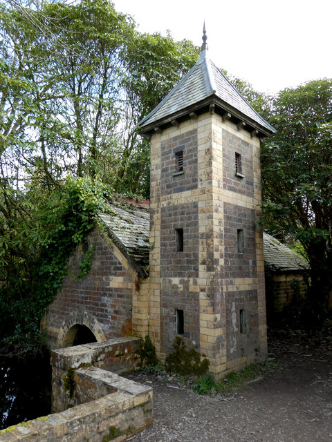
Coed Cae-geifr is also home to a number of historical sites and landmarks. Ruins of old stone structures can be found scattered throughout the forest, serving as a reminder of its past. The woodland is steeped in local folklore and legends, adding an air of mystery and intrigue to the area.

Visitors to Coed Cae-geifr can enjoy a range of outdoor activities, including hiking, wildlife spotting, and photography. The forest offers a tranquil and serene atmosphere, making it an ideal destination for those seeking solace in nature.

If you have any feedback on the listing, please let us know in the comments section below.

Coed Cae-geifr Images

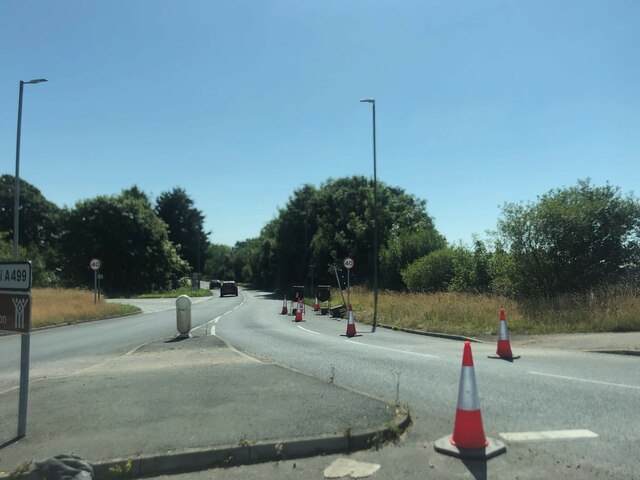
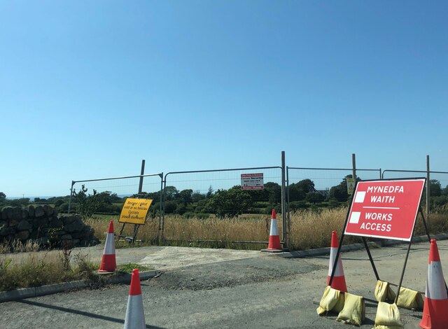
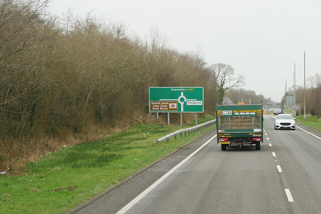
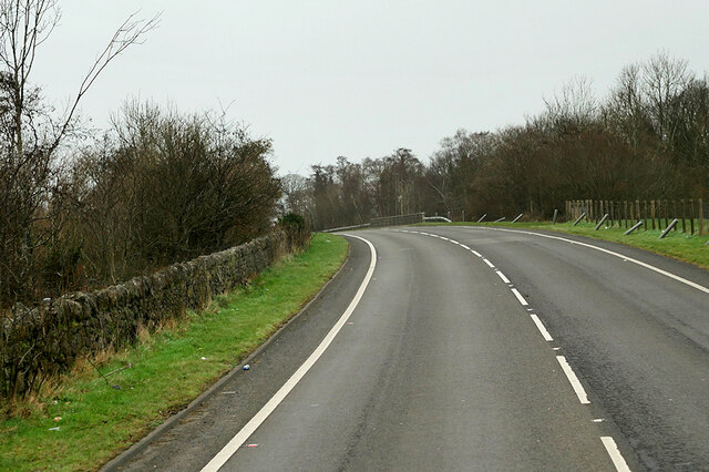
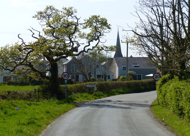
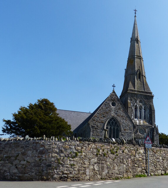
Images are sourced within 2km of 53.078054/-4.2843357 or Grid Reference SH4755. Thanks to Geograph Open Source API. All images are credited.

Road junction south of Llanwnda Near the start of the new Caernarfon by-pass (still under construction)
Road junction south of Llanwnda
Near the start of the new Caernarfon by-pass (still under construction)
Works access at the western end of the new Caernarfon By-pass The by-pass is due to be opened in February 2022
Works access at the western end of the new Caernarfon By-pass
The by-pass is due to be opened in February 2022
A487 near Groeslon The A487 is one of the most important roads in Wales. It covers the majority of the west coast from St Davids to Menai Bridge, and is a primary route for most of its length, including a section where it multiplexes with the A470, another important north-south road. Along the way, it runs through two national parks: Snowdonia and Pembrokeshire Coast. Despite its length and importance, it is predominantly single carriageway, although the road has been upgraded in numerous places. It is 174 miles long.
<span class="nowrap"><a title="http://www.sabre-roads.org.uk/wiki/index.php?title=A487" rel="nofollow ugc noopener" href="http://www.sabre-roads.org.uk/wiki/index.php?title=A487">Link</a><img style="margin-left:2px;" alt="External link" title="External link - shift click to open in new window" src="https://s1.geograph.org.uk/img/external.png" width="10" height="10"/></span>
A487 near Groeslon
The A487 is one of the most important roads in Wales. It covers the majority of the west coast from St Davids to Menai Bridge, and is a primary route for most of its length, including a section where it multiplexes with the A470, another important north-south road. Along the way, it runs through two national parks: Snowdonia and Pembrokeshire Coast. Despite its length and importance, it is predominantly single carriageway, although the road has been upgraded in numerous places. It is 174 miles long. LinkExternal link
A487 at Groeslon Roundabout The A487 is one of the most important roads in Wales. It covers the majority of the west coast from St Davids to Menai Bridge, and is a primary route for most of its length, including a section where it multiplexes with the A470, another important north-south road. Along the way, it runs through two national parks: Snowdonia and Pembrokeshire Coast. Despite its length and importance, it is predominantly single carriageway, although the road has been upgraded in numerous places. It is 174 miles long.
<span class="nowrap"><a title="http://www.sabre-roads.org.uk/wiki/index.php?title=A487" rel="nofollow ugc noopener" href="http://www.sabre-roads.org.uk/wiki/index.php?title=A487">Link</a><img style="margin-left:2px;" alt="External link" title="External link - shift click to open in new window" src="https://s1.geograph.org.uk/img/external.png" width="10" height="10"/></span>
A487 at Groeslon Roundabout
The A487 is one of the most important roads in Wales. It covers the majority of the west coast from St Davids to Menai Bridge, and is a primary route for most of its length, including a section where it multiplexes with the A470, another important north-south road. Along the way, it runs through two national parks: Snowdonia and Pembrokeshire Coast. Despite its length and importance, it is predominantly single carriageway, although the road has been upgraded in numerous places. It is 174 miles long. LinkExternal link
A487 north of Groeslon The A487 is one of the most important roads in Wales. It covers the majority of the west coast from St Davids to Menai Bridge, and is a primary route for most of its length, including a section where it multiplexes with the A470, another important north-south road. Along the way, it runs through two national parks: Snowdonia and Pembrokeshire Coast. Despite its length and importance, it is predominantly single carriageway, although the road has been upgraded in numerous places. It is 174 miles long.
<span class="nowrap"><a title="http://www.sabre-roads.org.uk/wiki/index.php?title=A487" rel="nofollow ugc noopener" href="http://www.sabre-roads.org.uk/wiki/index.php?title=A487">Link</a><img style="margin-left:2px;" alt="External link" title="External link - shift click to open in new window" src="https://s1.geograph.org.uk/img/external.png" width="10" height="10"/></span>
A487 north of Groeslon
The A487 is one of the most important roads in Wales. It covers the majority of the west coast from St Davids to Menai Bridge, and is a primary route for most of its length, including a section where it multiplexes with the A470, another important north-south road. Along the way, it runs through two national parks: Snowdonia and Pembrokeshire Coast. Despite its length and importance, it is predominantly single carriageway, although the road has been upgraded in numerous places. It is 174 miles long. LinkExternal link
A487 at Goat Roundabout The A487 is one of the most important roads in Wales. It covers the majority of the west coast from St Davids to Menai Bridge, and is a primary route for most of its length, including a section where it multiplexes with the A470, another important north-south road. Along the way, it runs through two national parks: Snowdonia and Pembrokeshire Coast. Despite its length and importance, it is predominantly single carriageway, although the road has been upgraded in numerous places. It is 174 miles long.
<span class="nowrap"><a title="http://www.sabre-roads.org.uk/wiki/index.php?title=A487" rel="nofollow ugc noopener" href="http://www.sabre-roads.org.uk/wiki/index.php?title=A487">Link</a><img style="margin-left:2px;" alt="External link" title="External link - shift click to open in new window" src="https://s1.geograph.org.uk/img/external.png" width="10" height="10"/></span>
A487 at Goat Roundabout
The A487 is one of the most important roads in Wales. It covers the majority of the west coast from St Davids to Menai Bridge, and is a primary route for most of its length, including a section where it multiplexes with the A470, another important north-south road. Along the way, it runs through two national parks: Snowdonia and Pembrokeshire Coast. Despite its length and importance, it is predominantly single carriageway, although the road has been upgraded in numerous places. It is 174 miles long. LinkExternal link
Waliau Llandwrog From the garden of Ty'n Llan, the Harp Inn, looking over assorted walls to the church of St Twrog.
Waliau Llandwrog
From the garden of Ty'n Llan, the Harp Inn, looking over assorted walls to the church of St Twrog.
"Fe'th welais di ar lawnt y Plas" The title of the image is from a poem by ID Hooson, which means "I saw thee on the manor lawn", referring to the free spirit of daffodils in their natural state.
"Fe'th welais di ar lawnt y Plas"
The title of the image is from a poem by ID Hooson, which means "I saw thee on the manor lawn", referring to the free spirit of daffodils in their natural state.
Melin flawd Corbett Williams / Corbett Williams grit mill
Ty Falf / Valve House This valve house regulated flow through the leat to the watermill.   It is a far more elaborate building than the watermill that it served.
Ty Falf / Valve House
This valve house regulated flow through the leat to the watermill. It is a far more elaborate building than the watermill that it served.
A499 east of Llandwrog
A499 at Bethesda Bach village boundary
A499 at Ty-hen junction
Lane in Llandwrog
Lane in Llandwrog
St Twrog's Church, Llandwrog The church was built in a Decorated Gothic style in 1856-60.
St Twrog's Church, Llandwrog
The church was built in a Decorated Gothic style in 1856-60.
Caernarvon Fundamental Benchmark FBM easily found after longish walk in from the north with Alex Cameron. It was harder to find and follow the footpaths than find the FBM.
Caernarvon Fundamental Benchmark
FBM easily found after longish walk in from the north with Alex Cameron. It was harder to find and follow the footpaths than find the FBM.
Footpath Starts Well Our footpath started well on our route from the north towards the Caernarvon Fundamental Benchmark however we were soon in trouble when it became badly overgrown and a detour was required. It all looked so easy on the map.
Footpath Starts Well
Our footpath started well on our route from the north towards the Caernarvon Fundamental Benchmark however we were soon in trouble when it became badly overgrown and a detour was required. It all looked so easy on the map.
A487 approaching overhead cable South of A499 roundabout
A487 approaching overhead cable
South of A499 roundabout
Show me another place!

Coed Cae-geifr is located at Grid Ref: SH4755 (Lat: 53.078054, Lng: -4.2843357)

Unitary Authority: Gwynedd

Police Authority: North Wales

What 3 Words

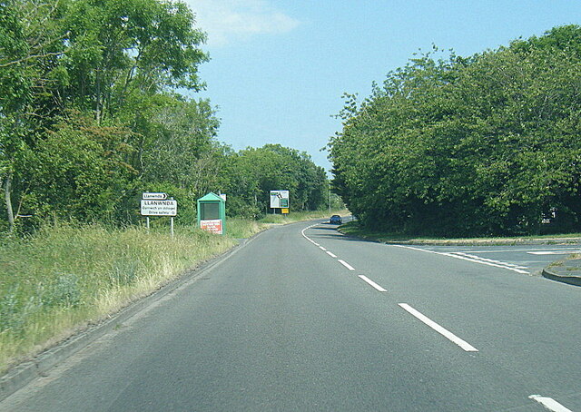
///proceeds.atlas.grass. Near Llanwnda, Gwynedd

Related Wikis

Groeslon railway station

Groeslon railway station served the village of Groeslon, Gwynedd, Wales. It operated first as part of the Nantlle Tramway and afterwards as a railway under...

Groeslon

Groeslon (; Welsh: Y Groeslon, "the crossroads") is a small village in the community of Llandwrog in the Welsh traditional county of Caernarfonshire....
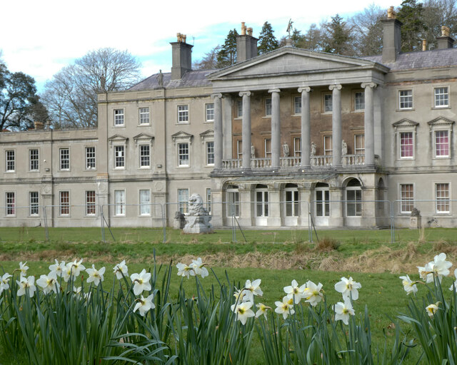
Glynllifon

Glynllifon is the name of the old estate which belonged to the Barons Newborough, near the village of Llandwrog on the main A499 road between Pwllheli...

Llanwnda railway station

Llanwnda railway station served the village of Llanwnda, Gwynedd, Wales. == History == A halt named Pwllheli Road existed here on the horse-drawn Nantlle...

Nearby Amenities

Located within 500m of 53.078054,-4.2843357
Groeslon
Historic Railway: station
Railway: site
Wikidata: Q5610104
Lat/Long: 53.0782095/-4.281374
Turning Circle
Lat/Long: 53.0764303/-4.2793781
Y Groeslon
Name Cy: Y Groeslon
Name En: Groeslon
Place: village
Population: 880
Wikidata: Q3402429
Wikipedia: en:Groeslon
Lat/Long: 53.0775016/-4.2775957
Power: pole
Lat/Long: 53.0820196/-4.2857917
Power: pole
Lat/Long: 53.0818263/-4.2875911
Power: pole
Lat/Long: 53.0825054/-4.2847792
Bench
Lat/Long: 53.0782267/-4.2812924
Shelter
Bus Stop
Bench: yes
Naptan AtcoCode: 5400AWD70219
Naptan NaptanCode: gwndtaj
Public Transport: platform
Shelter: yes
Shelter Type: public_transport
Lat/Long: 53.0794604/-4.2805314
Power: substation
Lat/Long: 53.077148/-4.279421
Shelter
Bus Stop
Bench: yes
Naptan AtcoCode: 5400AWQ26316
Naptan NaptanCode: gwndtap
Public Transport: platform
Shelter: yes
Shelter Type: public_transport
Lat/Long: 53.0796757/-4.280772
Direction: SSW
Generator Method: photovoltaic
Generator Output Electricity: yes
Generator Solar Modules: 8
Generator Source: solar
Generator Type: solar_photovoltaic_panel
Location: roof
Power: generator
Lat/Long: 53.0788126/-4.2801645
Direction: 145
Generator Method: photovoltaic
Generator Output Electricity: yes
Generator Solar Modules: 8
Generator Source: solar
Generator Type: solar_photovoltaic_panel
Location: roof
Power: generator
Lat/Long: 53.0788005/-4.2822325
Entrance: yes
Lat/Long: 53.078657/-4.2794106
Defibrillator
Defibrillator Location: outside Groeslon Village Hall
Emergency: defibrillator
Indoor: no
Lat/Long: 53.0786631/-4.2794339
Traffic Calming: cushion
Lat/Long: 53.0785708/-4.2793687
The data included in this document is from www.openstreetmap.org. The data is made available under ODbL.

Have you been to Coed Cae-geifr?

Leave your review of Coed Cae-geifr below (or comments, questions and feedback).