Allt y Graig
Wood, Forest in Cardiganshire
Wales
Allt y Graig
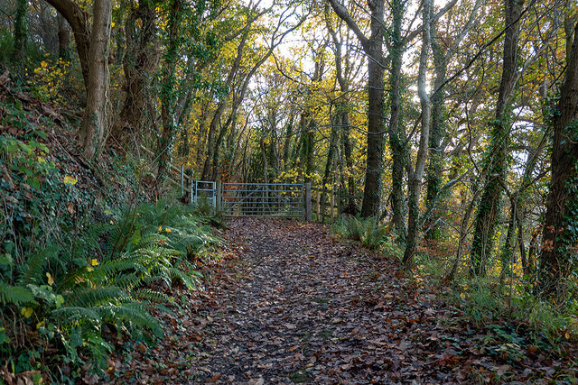
Allt y Graig is a picturesque wood located in Cardiganshire, Wales. The wood is situated on a hillside, offering stunning views of the surrounding countryside. Spanning approximately 200 acres, Allt y Graig is a thriving forest with a rich biodiversity.
The wood is predominantly made up of native tree species, such as oak, beech, and birch. These towering trees create a dense canopy, providing shade and shelter for a variety of wildlife. Visitors to Allt y Graig can expect to encounter a diverse range of flora, including bluebells, ferns, and mosses that carpet the forest floor.
The wood is crisscrossed by a network of walking trails, allowing visitors to explore its natural beauty at their own pace. These trails wind through the forest, revealing hidden glades, babbling brooks, and ancient stone walls. Birdwatchers will be delighted by the abundance of avian species that call Allt y Graig home, including woodpeckers, owls, and red kites.
Allt y Graig is not only a haven for wildlife but also a popular destination for outdoor activities. Many visitors come to the wood for hiking, picnicking, and nature photography. The tranquil atmosphere and breathtaking scenery make it an ideal spot for those seeking a peaceful retreat in nature.
Overall, Allt y Graig is a stunning woodland that offers a unique and immersive experience for nature enthusiasts. Its diverse ecosystem, scenic trails, and abundant wildlife make it a must-visit destination in Cardiganshire.
If you have any feedback on the listing, please let us know in the comments section below.
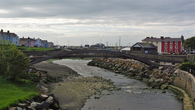
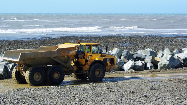
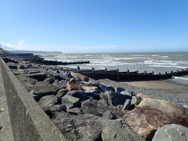
Allt y Graig Images
Images are sourced within 2km of 52.236842/-4.2537497 or Grid Reference SN4662. Thanks to Geograph Open Source API. All images are credited.
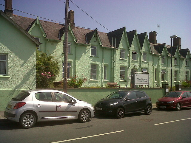
![Aberaeron Union Workhouse/Cottage Hospital This face of the building bore OSBM flush bracket S0449 at the East (left) angle:
The bracket was used on the Aberystwyth to Lampeter secondary line of the Second Geodetic Levelling of England &amp; Wales in 1942. It was levelled with a height of 43.956&#039; above OD (Newlyn). Description: E angle of workhouse, Aberayron. Abstract A 483: <span class="nowrap"><a title="http://discovery.nationalarchives.gov.uk/details/r/C11178827" rel="nofollow ugc noopener" href="http://discovery.nationalarchives.gov.uk/details/r/C11178827">Link</a><img style="margin-left:2px;" alt="External link" title="External link - shift click to open in new window" src="https://s1.geograph.org.uk/img/external.png" width="10" height="10"/></span> [OS 54/148]
The bracket, which had been obscured by rendering, was replaced by G2986 on the Midland Bank for the Third Geodetic Levelling in 1956.
Front: <a href="https://www.geograph.org.uk/photo/7358078">SN4662 : Aberaeron Union Workhouse/Cottage Hospital</a>](https://s1.geograph.org.uk/geophotos/07/35/80/7358085_ca41da23.jpg)

Allt y Graig is located at Grid Ref: SN4662 (Lat: 52.236842, Lng: -4.2537497)
Unitary Authority: Ceredigion
Police Authority: Dyfed Powys
What 3 Words
///broken.narrates.gadget. Near Aberaeron, Ceredigion
Nearby Locations
Related Wikis

Aberayron railway station
Aberayron railway station in Aberaeron was the terminus of the Lampeter, Aberayron and New Quay Light Railway branch line of the Carmarthen to Aberystwyth...

Ysgol Gyfun Aberaeron
Ysgol Gyfun Aberaeron is a bilingual comprehensive school for pupils aged between 11 and 18 years. The school is situated in the town of Aberaeron in Ceredigion...

Aberaeron
Aberaeron, previously anglicised as Aberayron, is a town, community and electoral ward in Ceredigion, Wales. Located on the coast between Aberystwyth and...
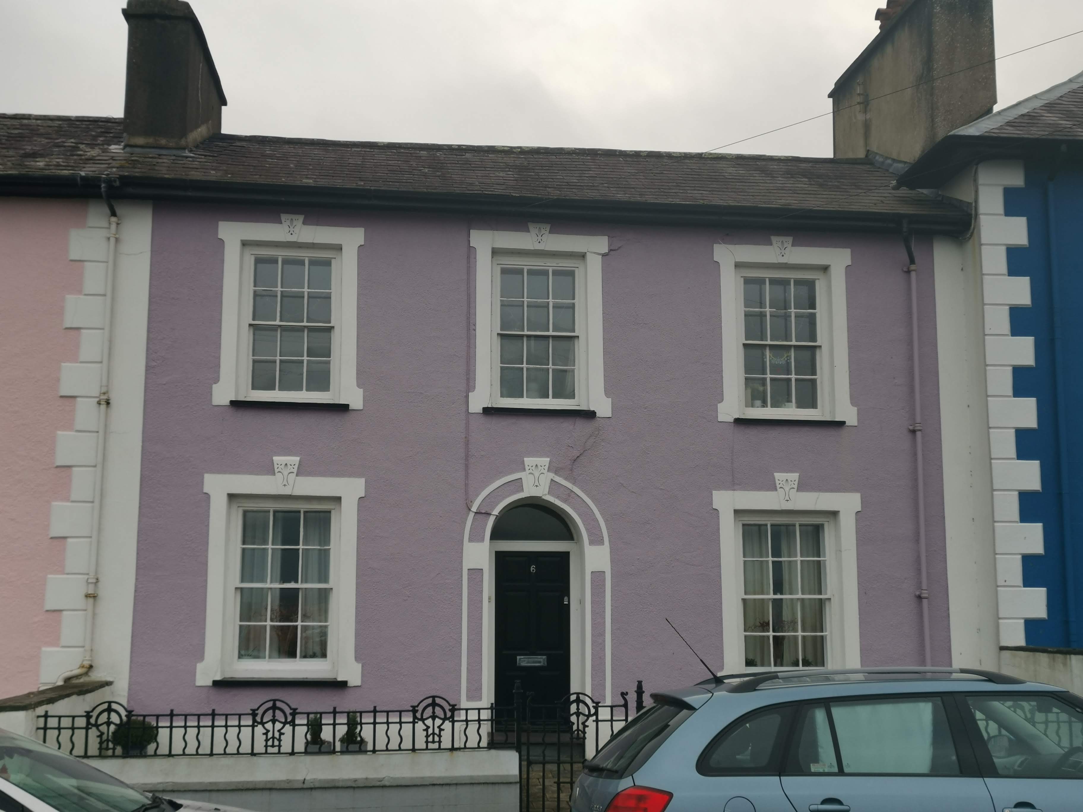
Portland Place, Aberaeron
Portland Place, in the centre of Aberaeron, Ceredigion, Wales is a terrace of mid-19th century townhouses. The town of Aberaeron was developed around 1810...
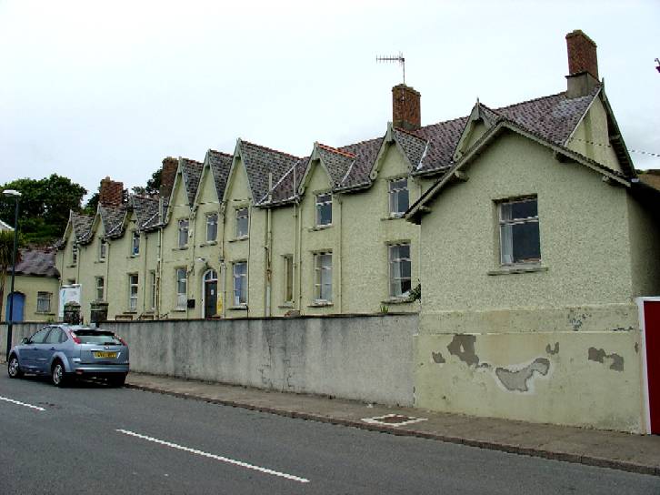
Aberaeron Hospital
Aberaeron Hospital (Welsh: Ysbyty Aberaeron) was a community hospital in Aberaeron, Wales. It was managed by the Hywel Dda University Health Board. �...
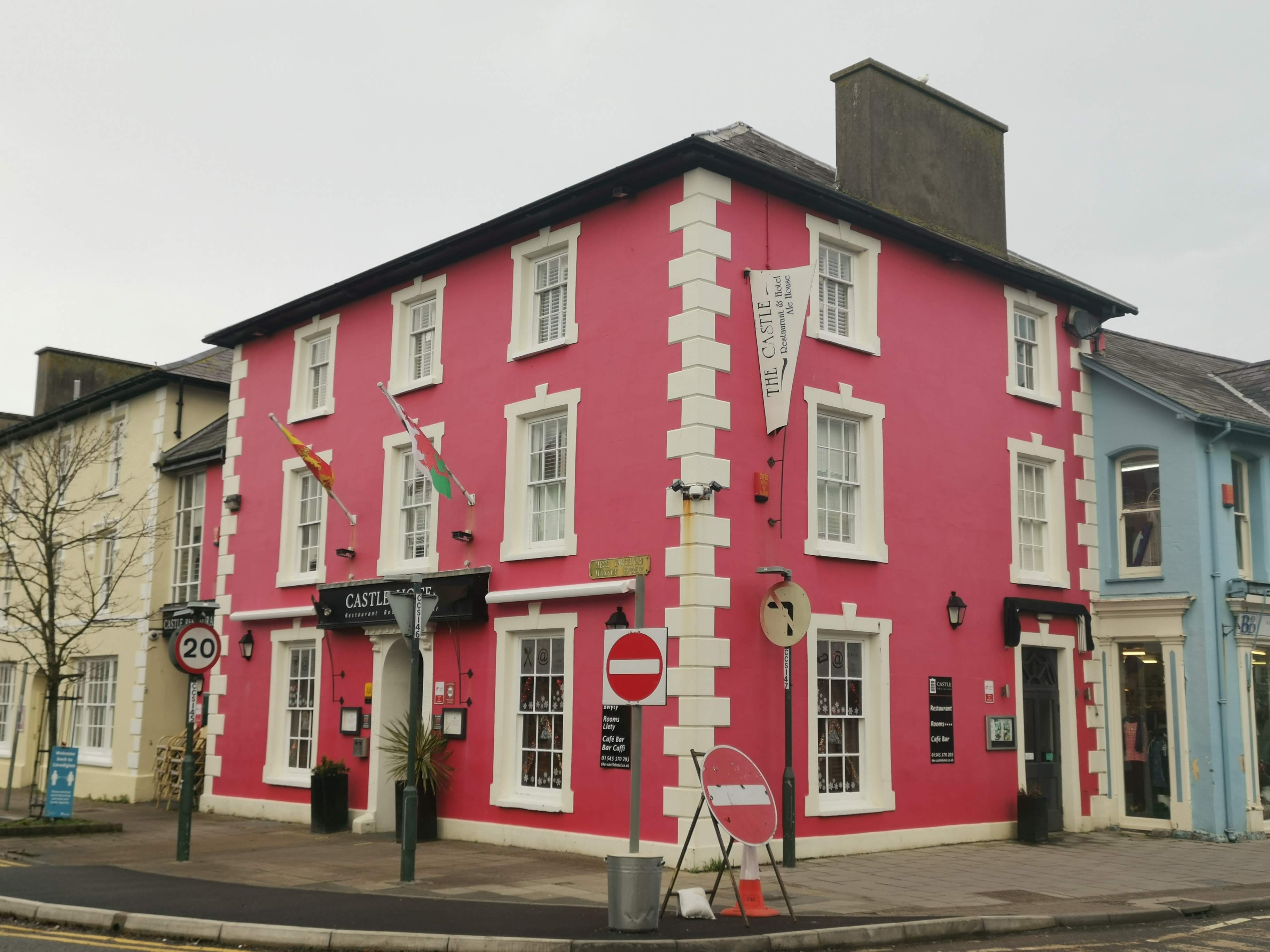
Castle Hotel, Aberaeron
The Castle Hotel, Aberaeron is located in a Grade II listed building in the coastal town of Aberaeron, Ceredigion, West Wales. The building is part of...

Alban Square, Aberaeron
Alban Square, in the centre of Aberaeron, Ceredigion, Wales is a range of early 19th century townhouses. The town of Aberaeron was developed around 1810...
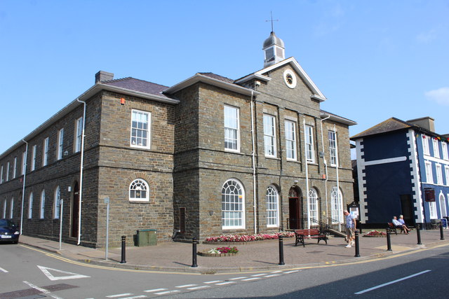
County Hall, Aberaeron
County Hall (Welsh: Neuadd y Sir Aberaeron), formerly Aberaeron Town Hall (Welsh: Neuadd y Dref Aberaeron), is a municipal building in Market Street,...
Nearby Amenities
Located within 500m of 52.236842,-4.2537497Have you been to Allt y Graig?
Leave your review of Allt y Graig below (or comments, questions and feedback).