Allt Gog
Wood, Forest in Cardiganshire
Wales
Allt Gog

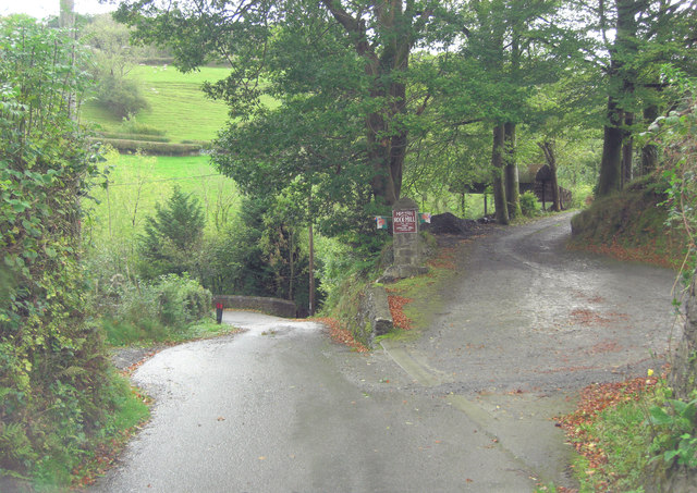
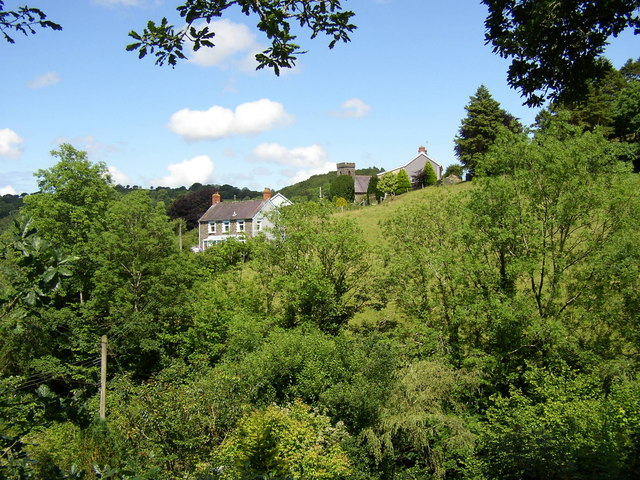
Allt Gog is a picturesque woodland located in the county of Cardiganshire, Wales. Covering an expansive area of land, the forest is known for its natural beauty and diverse ecosystem. It is situated in the heart of the Welsh countryside, surrounded by rolling hills and breathtaking landscapes.
The woodland is predominantly made up of various species of trees, including oak, beech, and birch, which create a dense and lush canopy. The vibrant foliage provides a haven for numerous wildlife species, such as birds, squirrels, and deer, making it a popular spot for nature enthusiasts and wildlife photographers.
Visitors to Allt Gog can explore the forest through a network of well-maintained walking trails. These paths lead through the woodland, offering glimpses of stunning vistas and the opportunity to immerse oneself in the tranquility of nature. Along the way, there are designated picnic areas and benches, providing a perfect spot to rest and take in the surroundings.
The forest is also known for its historical significance. It is said to have been a source of timber for local communities in the past, and remnants of old sawmills and charcoal pits can still be found within the woodland.
Allt Gog is a true gem of Cardiganshire, offering visitors a chance to escape the hustle and bustle of everyday life and connect with nature. Whether it's a leisurely stroll through the trees or a more adventurous hike, this woodland provides an enchanting experience for all who explore its beauty.
If you have any feedback on the listing, please let us know in the comments section below.
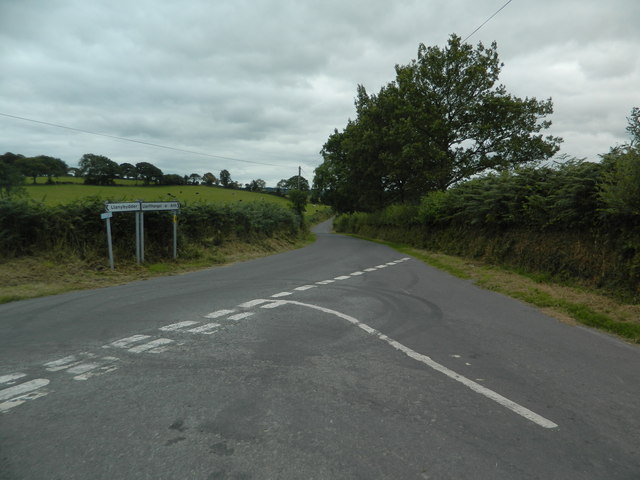
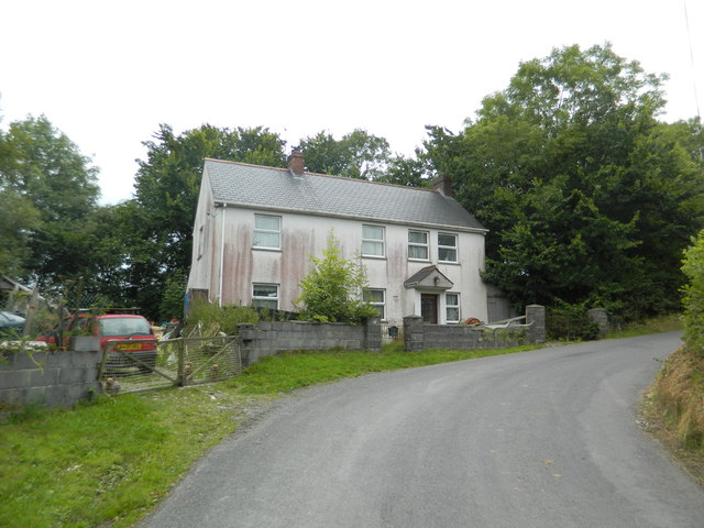
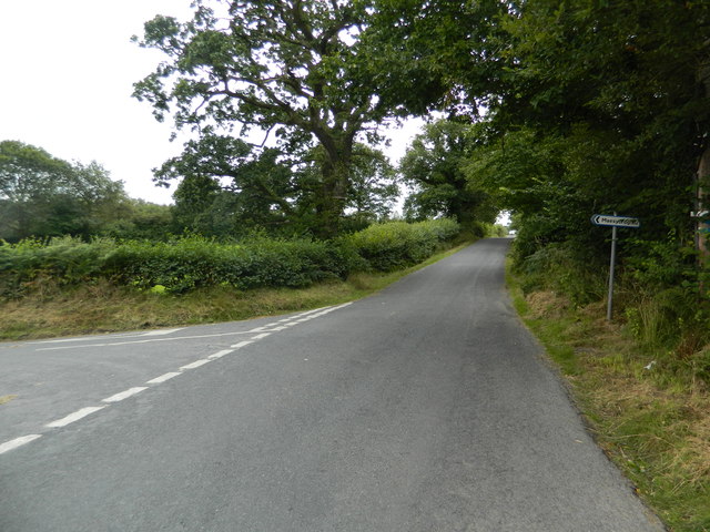
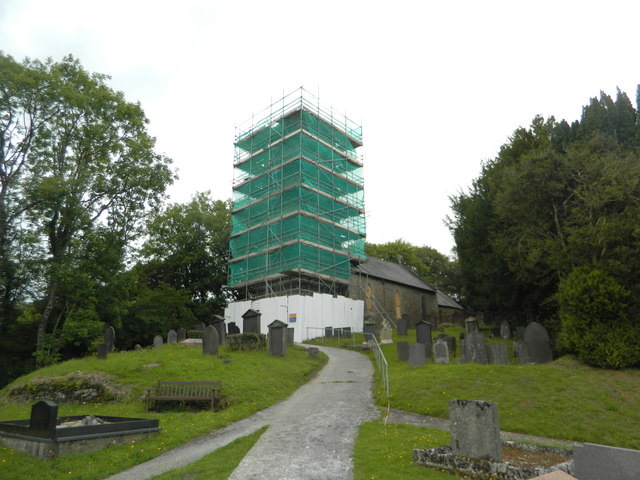
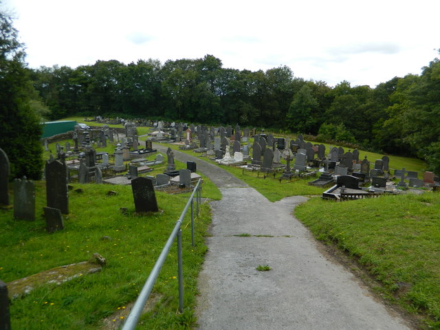
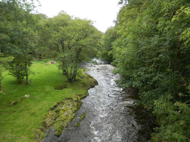
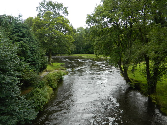
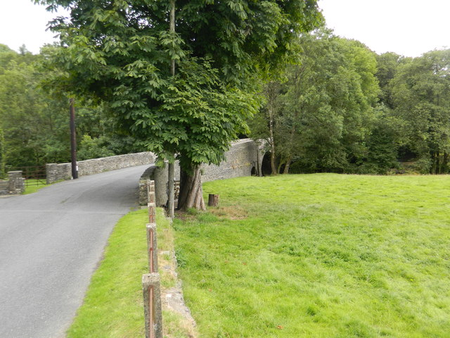
Allt Gog Images
Images are sourced within 2km of 52.050383/-4.2498642 or Grid Reference SN4541. Thanks to Geograph Open Source API. All images are credited.


Allt Gog is located at Grid Ref: SN4541 (Lat: 52.050383, Lng: -4.2498642)
Unitary Authority: Ceredigion
Police Authority: Dyfed Powys
What 3 Words
///about.decanter.strapped. Near Llandysul, Ceredigion
Related Wikis

Waunifor
Waunifor or Waun Ifor (Welsh: "Ifor's Meadow") is a historic estate, once the seat of the Lloyd and Bowen families, located in the small village community...
Blaenborthyn
Blaenborthyn is a small village in the community of Llandysul, Ceredigion, Wales, which is 60.4 miles (97.2 km) from Cardiff and 179.9 miles (289.5 km...
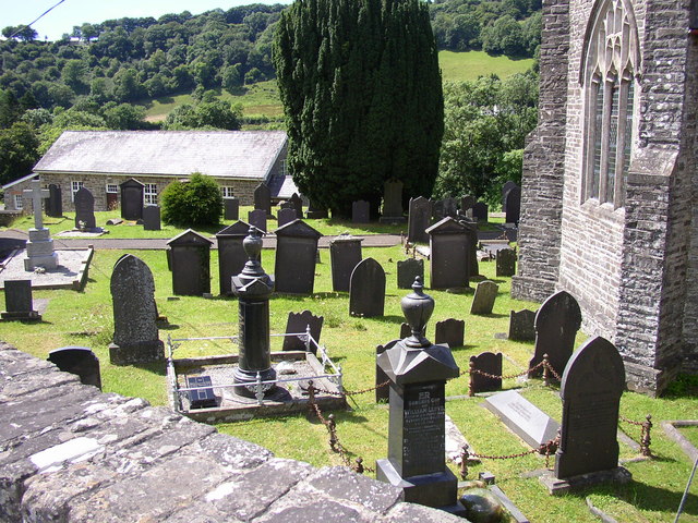
Capel Dewi, Llandysul
Capel Dewi is a small village in the county of Ceredigion, Wales. The village lies in the Clettwr Valley mostly on the eastern bank of the River Clettwr...

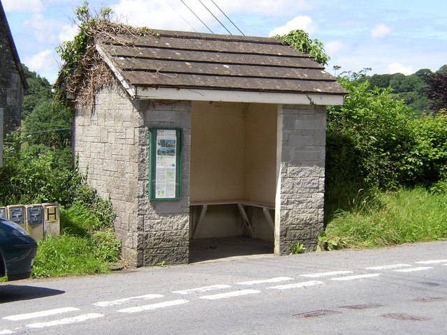
Rock Mill Llandysul
Rock Mill Llandysul (Welsh: Melin Wlân), in Capel Dewi, Llandysul, Ceredigion, is the last woollen mill in Wales to be powered by a water wheel. ��2�...
Derlwyn, Ceredigion
Derlwyn is a small village in the community of Llandysul, Ceredigion, Wales, which is 61.4 miles (98.8 km) from Cardiff and 180.9 miles (291.1 km) from...
Llanfihangel-ar-Arth
Llanfihangel-ar-Arth is a village and community in the county of Carmarthenshire, Wales. The area includes six villages: Alltwalis, Dolgran, Gwyddgrug...

Maesycrugiau railway station
Maesycrugiau railway station also Maes-y-crugiau railway station served the hamlet and rural locale of Maesycrugiau near Llanllwni on the Carmarthen Aberystwyth...
Bryngolau
Bryngolau is a small village in the community of Llandysul, Ceredigion, Wales, which is 62.2 miles (100.1 km) from Cardiff and 181.5 miles (292.1 km)...
Nearby Amenities
Located within 500m of 52.050383,-4.2498642Have you been to Allt Gog?
Leave your review of Allt Gog below (or comments, questions and feedback).