Coed Bath
Wood, Forest in Anglesey
Wales
Coed Bath
The requested URL returned error: 429 Too Many Requests
If you have any feedback on the listing, please let us know in the comments section below.
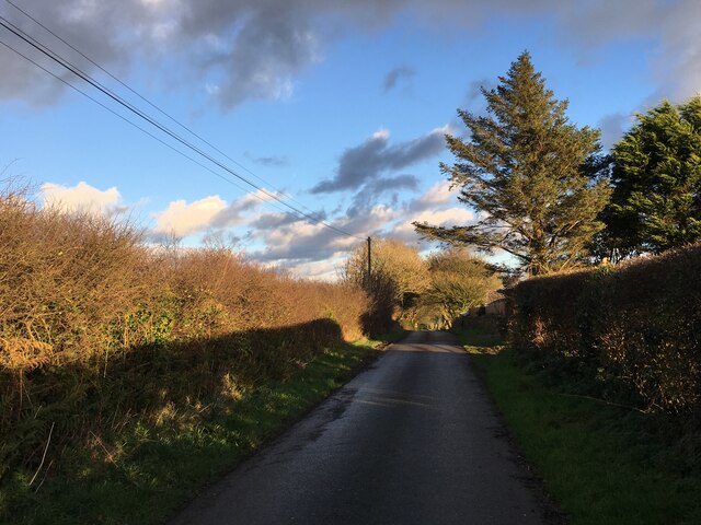
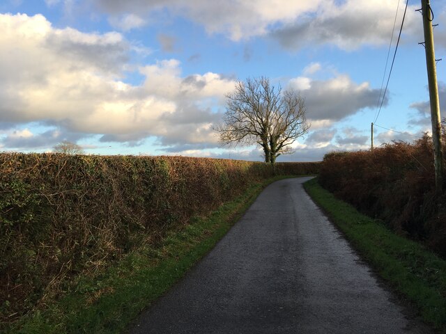
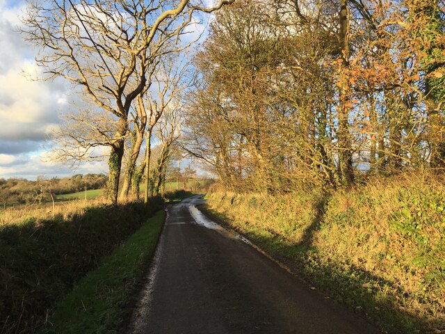
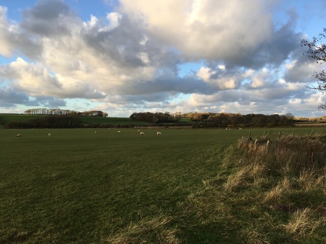
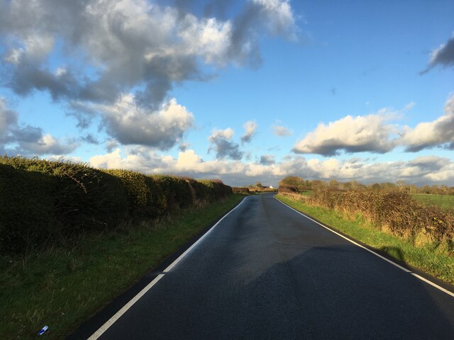
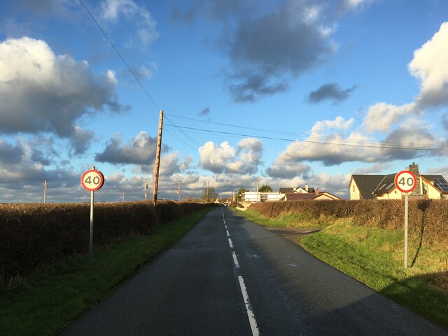
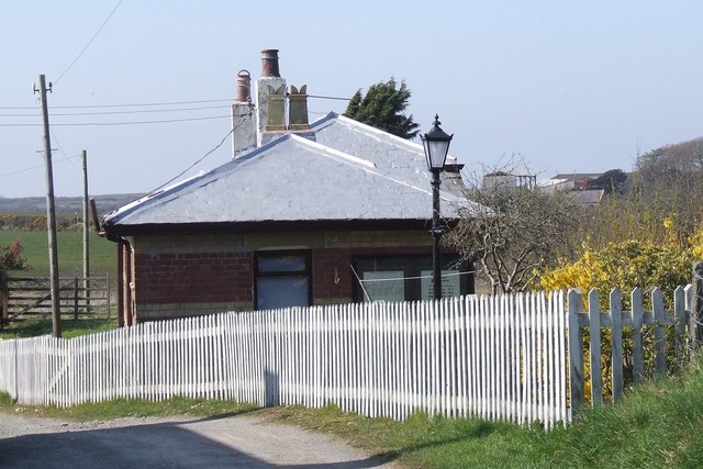
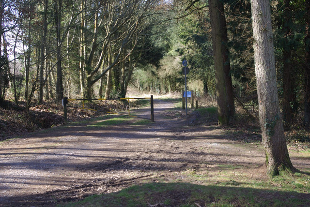
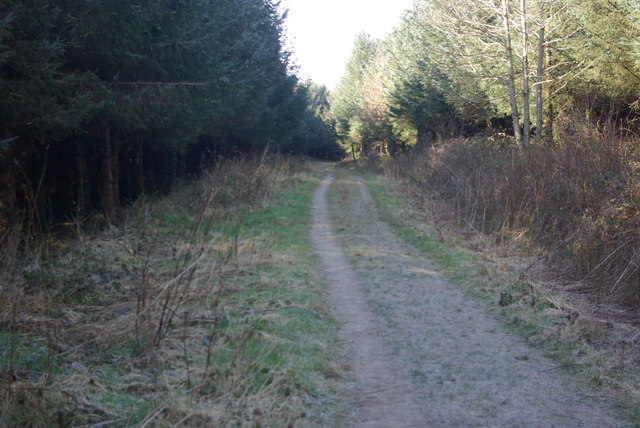
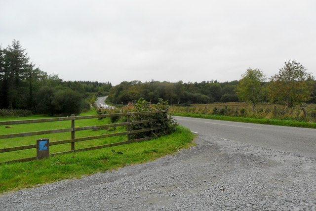
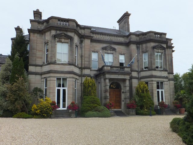
Coed Bath Images
Images are sourced within 2km of 53.288204/-4.3221832 or Grid Reference SH4579. Thanks to Geograph Open Source API. All images are credited.


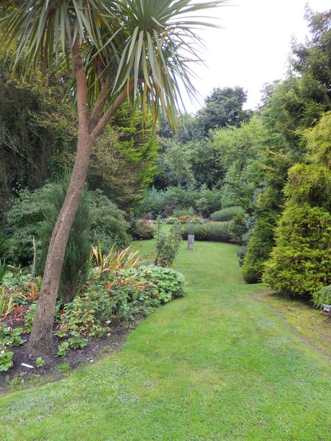
Coed Bath is located at Grid Ref: SH4579 (Lat: 53.288204, Lng: -4.3221832)
Unitary Authority: Isle of Anglesey
Police Authority: North Wales
What 3 Words
///screening.sudden.cutaway. Near Llangefni, Isle of Anglesey
Nearby Locations
Related Wikis

St Caian's Church, Tregaian
St Caian's Church, Tregaian, also known as St Caean's Church, Tregaean, is a small medieval church dating from the 14th century in Anglesey, north Wales...

Anglesey
The Isle of Anglesey (; Welsh: Ynys Môn [ˈənɨs ˈmoːn]) is a county off the north-west coast of Wales. It is named after the island of Anglesey, which makes...

Roman conquest of Anglesey
The Roman conquest of Anglesey refers to two separate invasions of Anglesey in North West Wales that occurred during the early decades of the Roman conquest...

Hendre, Anglesey
Hendre is an area in the community of Llanddyfnan, Anglesey, Wales, which is 133.8 miles (215.3 km) from Cardiff and 214.9 miles (345.9 km) from London...
Have you been to Coed Bath?
Leave your review of Coed Bath below (or comments, questions and feedback).