Allt Ddol-Walter
Wood, Forest in Cardiganshire
Wales
Allt Ddol-Walter

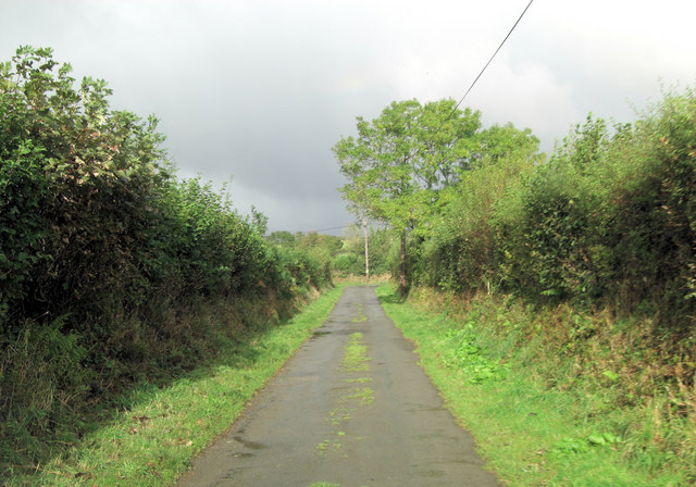
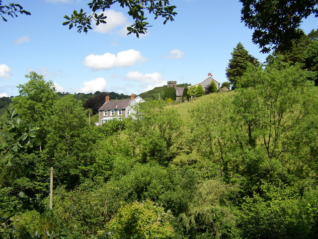
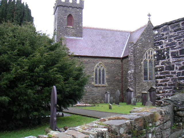
Allt Ddol-Walter is a picturesque woodland area located in Cardiganshire, Wales. Spanning over a vast expanse of land, it is known for its breathtaking natural beauty and diverse ecosystem. The woodland is situated in a hilly terrain, with an elevation that ranges from 200 to 500 meters above sea level.
The forest is predominantly composed of native tree species such as oak, beech, and birch, which create a dense canopy and provide a habitat for a wide variety of wildlife. It is home to numerous bird species, including woodpeckers, jays, and owls, making it a haven for birdwatchers and nature enthusiasts. The forest floor is adorned with an array of wildflowers during the spring and summer seasons, adding a burst of vibrant colors to the landscape.
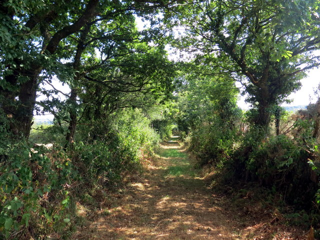
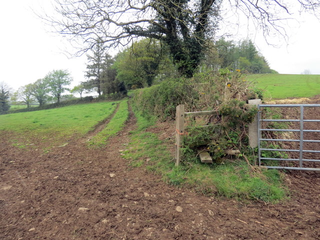
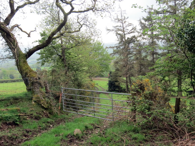
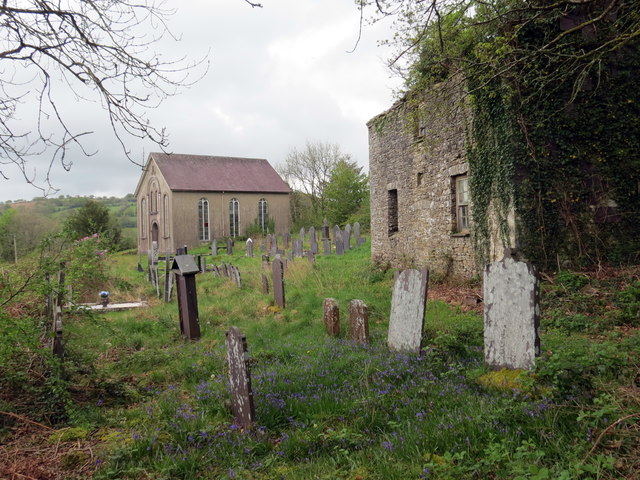
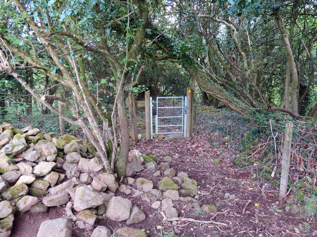
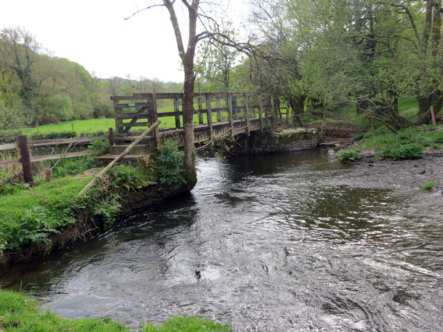
Allt Ddol-Walter also boasts a network of walking trails, which allow visitors to explore the woodland and immerse themselves in its tranquility. The trails range in difficulty, catering to both casual walkers and more experienced hikers. Along these paths, one can discover hidden streams, small waterfalls, and ancient ruins, adding a touch of mystery and history to the woodland experience.
In addition to its natural beauty, Allt Ddol-Walter is dedicated to conservation efforts. The woodland is managed sustainably, ensuring the preservation of its unique ecosystem for future generations. The local community actively participates in initiatives to protect the forest, including tree planting campaigns and litter clean-ups.
Allt Ddol-Walter truly offers a peaceful retreat from the bustle of urban life, providing visitors with an opportunity to connect with nature and experience the wonders of a pristine Welsh woodland.
If you have any feedback on the listing, please let us know in the comments section below.
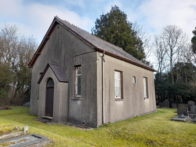
Allt Ddol-Walter Images
Images are sourced within 2km of 52.040928/-4.2594363 or Grid Reference SN4540. Thanks to Geograph Open Source API. All images are credited.


Allt Ddol-Walter is located at Grid Ref: SN4540 (Lat: 52.040928, Lng: -4.2594363)
Unitary Authority: Ceredigion
Police Authority: Dyfed Powys
What 3 Words
///cashew.insulated.roadshow. Near Llandysul, Ceredigion
Nearby Locations
Related Wikis

Llanfihangel-ar-Arth
Llanfihangel-ar-Arth is a village and community in the county of Carmarthenshire, Wales. The area includes six villages: Alltwalis, Dolgran, Gwyddgrug...
Waunifor
Waunifor or Waun Ifor (Welsh: "Ifor's Meadow") is a historic estate, once the seat of the Lloyd and Bowen families, located in the small village community...
Blaenborthyn
Blaenborthyn is a small village in the community of Llandysul, Ceredigion, Wales, which is 60.4 miles (97.2 km) from Cardiff and 179.9 miles (289.5 km...

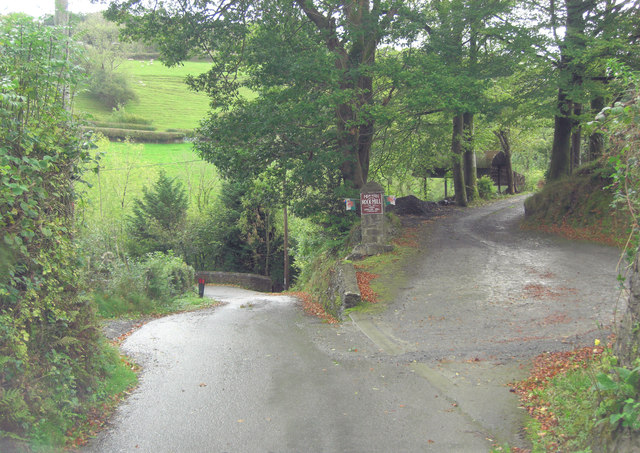
Rock Mill Llandysul
Rock Mill Llandysul (Welsh: Melin Wlân), in Capel Dewi, Llandysul, Ceredigion, is the last woollen mill in Wales to be powered by a water wheel. ��2�...

Craig Gwrtheyrn
Craig Gwrtheyrn, or Caer Gwrtheyrn, is an Iron Age hillfort on the south side of the River Teifi, about 1.2 miles (1.9 km) west of the village of Llanfihangel...
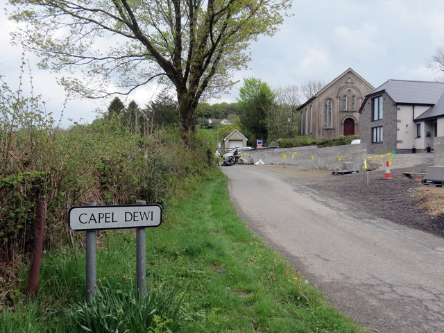
Capel Dewi, Llandysul
Capel Dewi is a small village in the county of Ceredigion, Wales. The village lies in the Clettwr Valley mostly on the eastern bank of the River Clettwr...
Derlwyn, Ceredigion
Derlwyn is a small village in the community of Llandysul, Ceredigion, Wales, which is 61.4 miles (98.8 km) from Cardiff and 180.9 miles (291.1 km) from...

Maesycrugiau railway station
Maesycrugiau railway station also Maes-y-crugiau railway station served the hamlet and rural locale of Maesycrugiau near Llanllwni on the Carmarthen Aberystwyth...
Related Videos

Exploring Wales 🏴 Llandysul & Welshpool amazing views and beautiful sunset.
Enjoy this beautiful Welsh country side with us. Please visit our blog https://magicalworldofkate.co.uk where you can find more ...


A lifetime with camper vans. Before we share with you what we've learned we'd like to say Hello!
OLD VERSION: I had a bit of a health shock recently which got me thinking about things. While recuperating I spent countless ...
Nearby Amenities
Located within 500m of 52.040928,-4.2594363Have you been to Allt Ddol-Walter?
Leave your review of Allt Ddol-Walter below (or comments, questions and feedback).