Allt Pant-gwyn
Wood, Forest in Cardiganshire
Wales
Allt Pant-gwyn
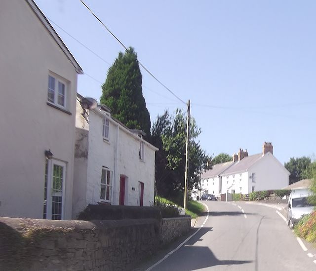
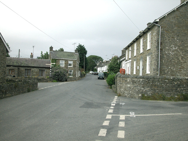
![Mydroilyn Pentref Mydroilyn gyda chyn Dafarn y Red Lion ar y dde.
The village of Mydroilyn (trans. the confluence of the Mydr [river] and the Eilin [stream]) with the former Red Lion Public House on the right.](https://s0.geograph.org.uk/geophotos/06/78/96/6789624_a89b3c5a.jpg)
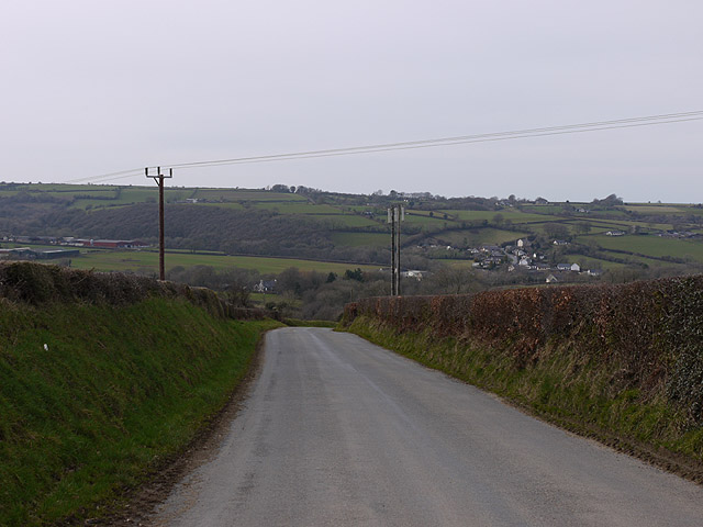
Allt Pant-gwyn is a picturesque woodland located in Cardiganshire, Wales. This enchanting forest covers an area of approximately 100 acres and is characterized by its diverse range of flora and fauna. The woodland is situated on a steep slope, offering visitors breathtaking views of the surrounding countryside.
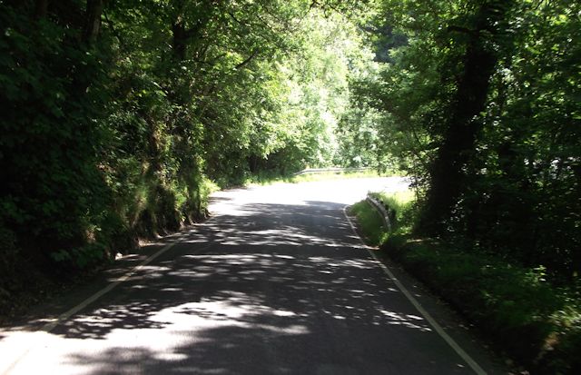
The forest is predominantly composed of native tree species, including oak, ash, birch, and beech, which create a dense canopy that filters sunlight, casting dappled shadows on the forest floor. This creates a tranquil and serene atmosphere, perfect for nature lovers and hikers seeking a peaceful escape.
Allt Pant-gwyn is home to a rich variety of wildlife, providing a habitat for numerous species. Visitors may spot red squirrels, badgers, foxes, and a wide array of bird species, including woodpeckers and tawny owls. The forest also boasts a diverse range of plant life, such as bluebells, wild garlic, and ferns, which add to its natural beauty.
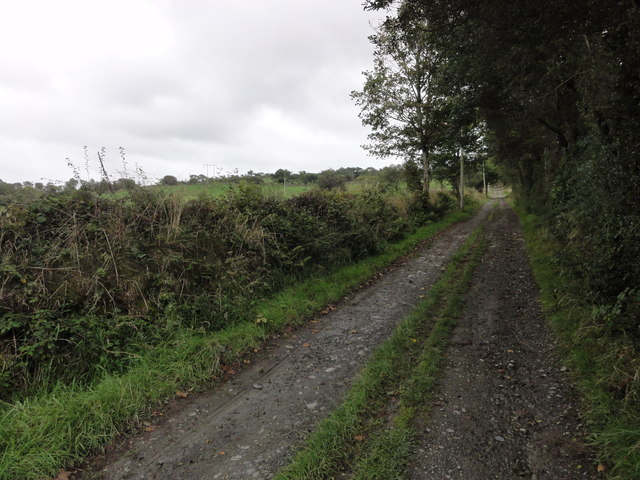
The woodland features several well-maintained walking trails, allowing visitors to explore its hidden treasures. These trails wind through the forest, taking hikers on a journey through ancient woodlands and babbling brooks. Along the way, visitors can enjoy the peaceful sounds of nature and the sweet scent of wildflowers.
Allt Pant-gwyn is a popular destination for outdoor enthusiasts, offering opportunities for walking, birdwatching, and photography. The forest's tranquil beauty and diverse ecosystem make it a must-visit location for nature lovers and those seeking a peaceful retreat in the heart of Cardiganshire.
If you have any feedback on the listing, please let us know in the comments section below.
Allt Pant-gwyn Images
Images are sourced within 2km of 52.173243/-4.2672784 or Grid Reference SN4555. Thanks to Geograph Open Source API. All images are credited.


Allt Pant-gwyn is located at Grid Ref: SN4555 (Lat: 52.173243, Lng: -4.2672784)
Unitary Authority: Ceredigion
Police Authority: Dyfed Powys
What 3 Words
///surely.lifeboats.transmits. Near Llanarth, Ceredigion
Nearby Locations
Related Wikis

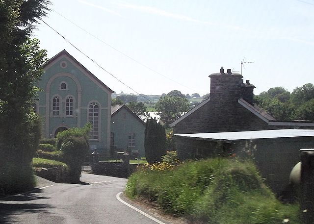
Mydroilyn
Mydroilyn is a village in the parish of Llanarth, Ceredigion, Wales, situated along the B4342 road. The name of the village is derived from the confluence...

Pen-cae
Pencae is a village in the community of Llanarth, Ceredigion, Wales, which is 68.2 miles (109.8 km) from Cardiff and 184 miles (296 km) from London. Pencae...
Oakford, Ceredigion
Oakford (Welsh Derwen Gam) is a hamlet in the Welsh county of Ceredigion. It is some 5 miles (8 km) south of the coastal town of Aberaeron. == External... ==
Llanarth, Ceredigion
Llanarth is both a small village and a community in Ceredigion, Wales. It is on the A487 road and is about 3 miles (4.8 km) from both Aberaeron and New...

Dihewyd
Dihewyd is a parish in the county of Ceredigion, West Wales with a population of about 200 people. It is 5 miles (8 km) from Aberaeron and 8 miles (13...
Rhyd-y-Beillen
Rhyd-y-Beillen is a hamlet in the community of Llanarth, Ceredigion, Wales, which is 68.5 miles (110.2 km) from Cardiff and 185.1 miles (297.9 km) from...

Llwyncelyn, Ceredigion
Lwyncelyn is a village in Ceredigion, Wales, situated on the A487 trunk road approximately 2.7 mi (4.3 km) southwest of the town of Aberaeron and 2 mi...

Talgarreg
Talgarreg is a small village in the county of Ceredigion, Wales. == Culture, history & amenities == Economically it is sustained by farming, though there...
Nearby Amenities
Located within 500m of 52.173243,-4.2672784Have you been to Allt Pant-gwyn?
Leave your review of Allt Pant-gwyn below (or comments, questions and feedback).