Coed Henryd
Wood, Forest in Caernarfonshire
Wales
Coed Henryd
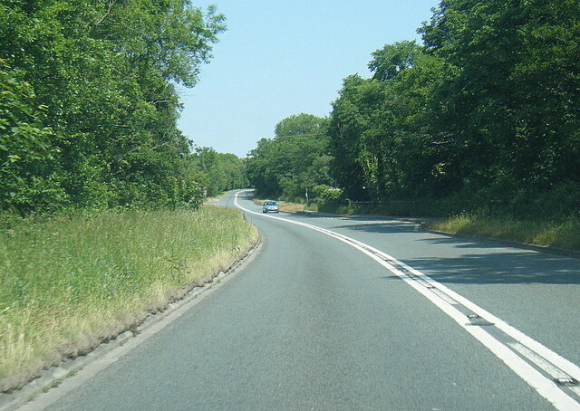
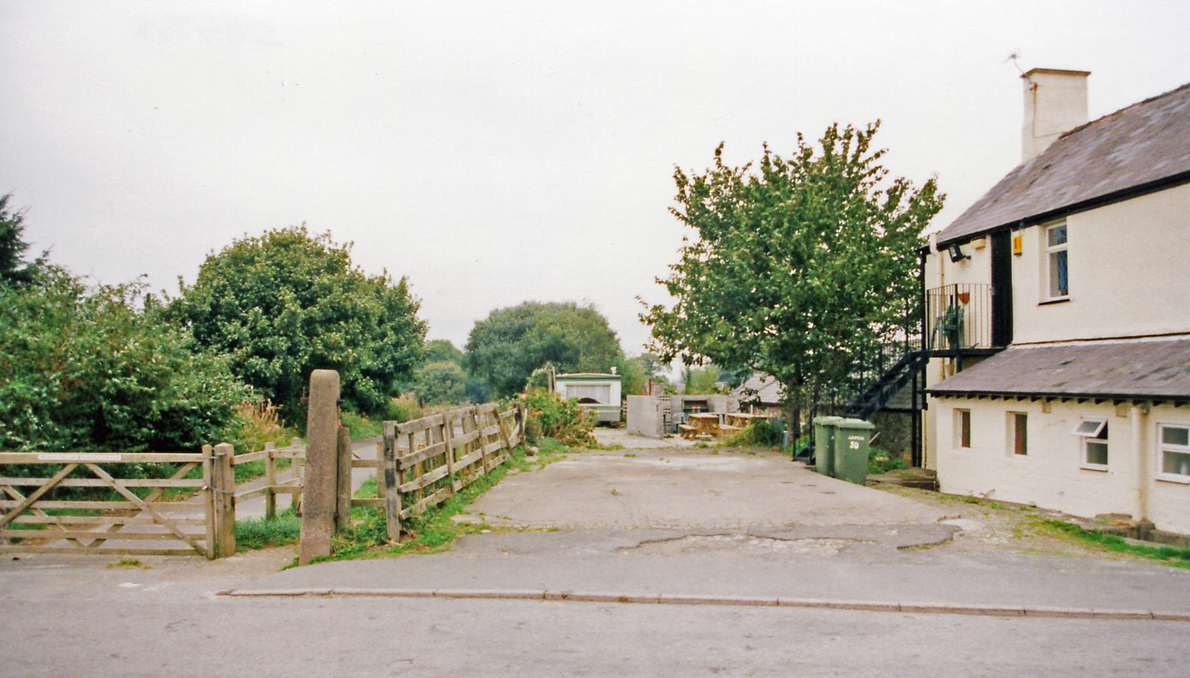
Coed Henryd is a picturesque woodland located in the county of Caernarfonshire in Wales. Nestled amidst breathtaking natural beauty, this enchanting forest covers an area of approximately 200 hectares. The forest is situated near the village of Henryd, and it is a popular destination for nature enthusiasts and hikers alike.
The woodland boasts an impressive variety of trees, including oak, beech, and birch. These majestic trees create a dense canopy that provides shelter to a diverse range of wildlife, making Coed Henryd an important conservation area. Visitors to the forest can spot an array of bird species, such as woodpeckers, buzzards, and owls, as well as small mammals like rabbits, squirrels, and foxes.
Coed Henryd offers a network of well-maintained walking trails, allowing visitors to explore the forest at their own pace. These trails meander through the lush greenery, taking hikers on a journey through the heart of the woodland. Along the way, there are several viewpoints that offer stunning vistas of the surrounding countryside, providing ample opportunities for photography and relaxation.
For those seeking a more immersive experience, Coed Henryd also offers camping facilities. This allows visitors to spend a night under the starry sky, surrounded by the peaceful ambiance of the forest. Camping in the forest provides a unique opportunity to disconnect from the hustle and bustle of everyday life and reconnect with nature.
Coed Henryd is a true gem in Caernarfonshire, offering a tranquil retreat for those seeking solace in the embrace of nature. Whether exploring the well-marked trails, observing the wildlife, or simply unwinding amidst the serene surroundings, a visit to Coed Henryd promises an unforgettable experience.
If you have any feedback on the listing, please let us know in the comments section below.
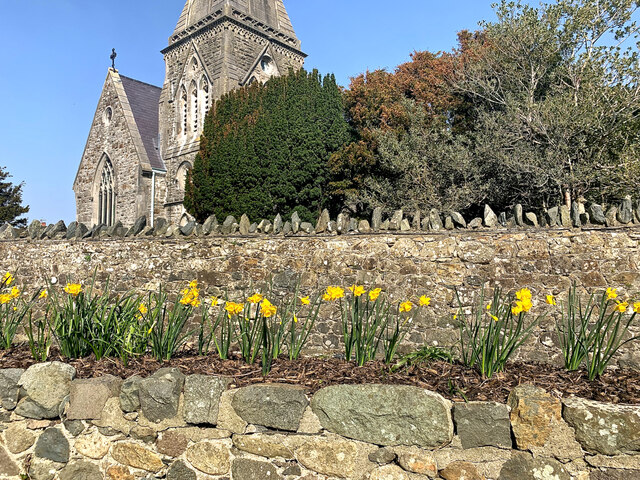
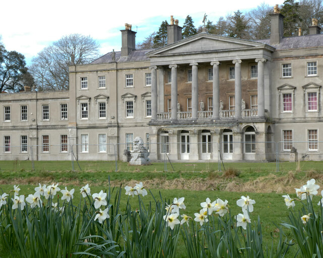
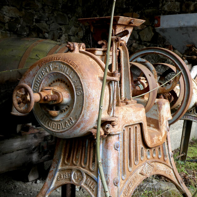
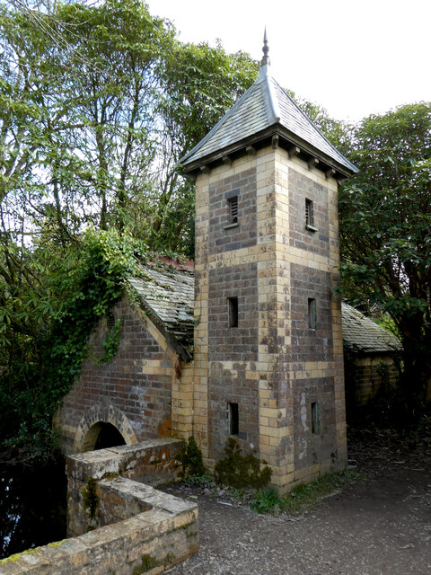
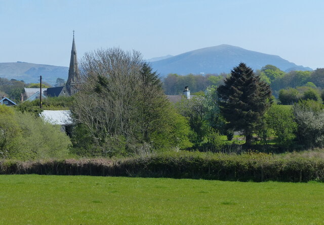
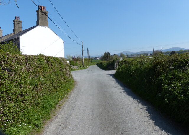
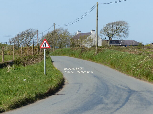
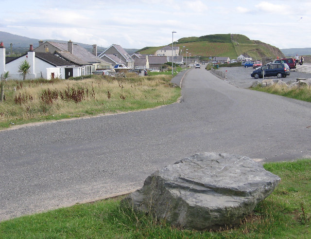
Coed Henryd Images
Images are sourced within 2km of 53.074395/-4.3173151 or Grid Reference SH4455. Thanks to Geograph Open Source API. All images are credited.


Coed Henryd is located at Grid Ref: SH4455 (Lat: 53.074395, Lng: -4.3173151)
Unitary Authority: Gwynedd
Police Authority: North Wales
What 3 Words
///commended.slightly.daydream. Near Penygroes, Gwynedd
Nearby Locations
Related Wikis

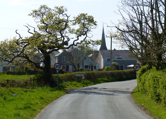
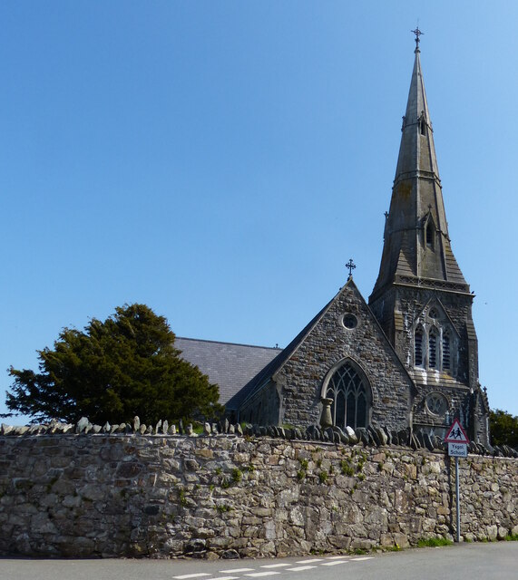
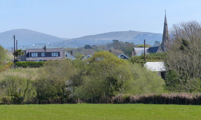
Llandwrog
Llandwrog (; Welsh language: meaning 'The church of Saint Twrog') is a village and community in Gwynedd, north-west Wales, most notable for the presence...

Glynllifon
Glynllifon is the name of the old estate which belonged to the Barons Newborough, near the village of Llandwrog on the main A499 road between Pwllheli...
Dinas Dinlle
Dinas Dinlle is a small settlement in Gwynedd, north-west Wales which is also, historically, part of Caernarfonshire. == Description == Dinas Dinlle has...
Groeslon railway station
Groeslon railway station served the village of Groeslon, Gwynedd, Wales. It operated first as part of the Nantlle Tramway and afterwards as a railway under...
Nearby Amenities
Located within 500m of 53.074395,-4.3173151Have you been to Coed Henryd?
Leave your review of Coed Henryd below (or comments, questions and feedback).