Coed Parc-llyn
Wood, Forest in Cardiganshire
Wales
Coed Parc-llyn
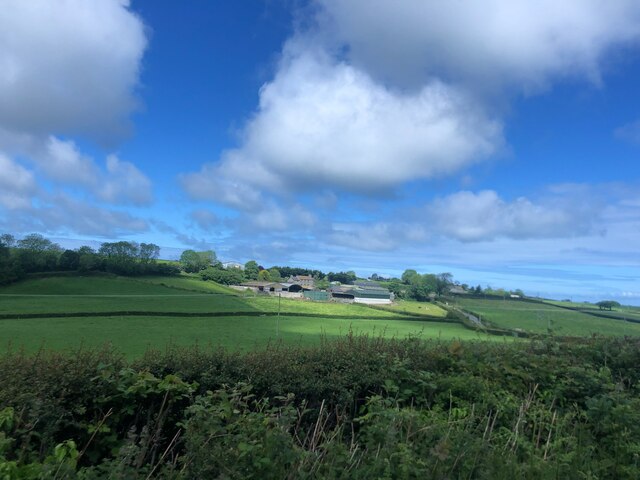
Coed Parc-llyn is a picturesque woodland located in Cardiganshire, Wales. Spanning over a vast area, this forest is renowned for its natural beauty and rich biodiversity. The name "Coed Parc-llyn" translates to "Wood by the Lake" in English, perfectly describing its setting near the tranquil Llyn Brianne reservoir.
The woodland is predominantly composed of native broadleaf trees, such as oak, beech, and birch, creating a vibrant and diverse habitat for various wildlife species. Walking through the forest, visitors can enjoy the enchanting sights and sounds of birds chirping, squirrels scampering, and the occasional glimpse of a deer or fox.
Coed Parc-llyn offers a range of footpaths and trails, making it a popular destination for hikers, nature enthusiasts, and families seeking outdoor adventures. The paths meander through the forest, providing breathtaking views of the surrounding landscape, including the shimmering waters of Llyn Brianne.
In addition to its natural beauty, Coed Parc-llyn also boasts historical significance. The forest is home to ancient ruins, including the remains of old settlements and burial sites, offering a glimpse into the area's past.
The management of Coed Parc-llyn focuses on conservation and preservation, ensuring that the woodland remains a haven for wildlife and a place for visitors to appreciate nature's wonders. Information boards and guided tours are available to educate visitors about the forest's flora, fauna, and history.
Overall, Coed Parc-llyn is a haven of tranquility, offering a serene escape into nature for those seeking solace or adventure amidst the stunning Welsh countryside.
If you have any feedback on the listing, please let us know in the comments section below.
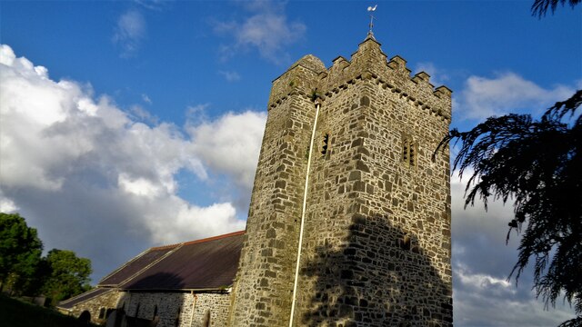
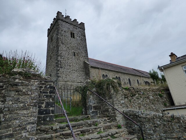
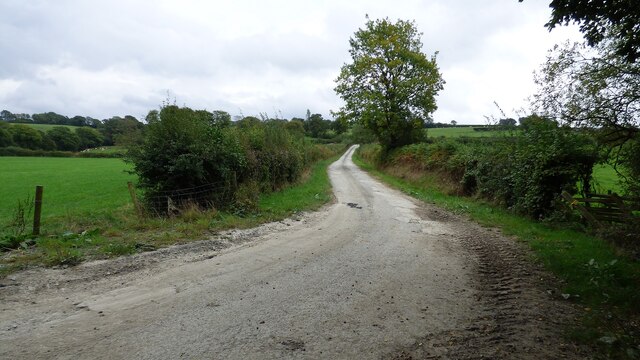
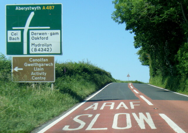
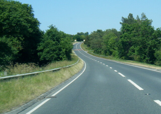
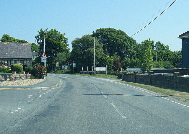
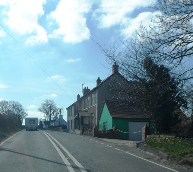
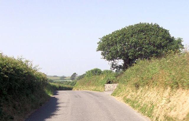
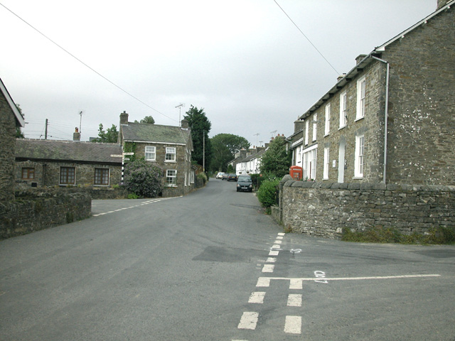
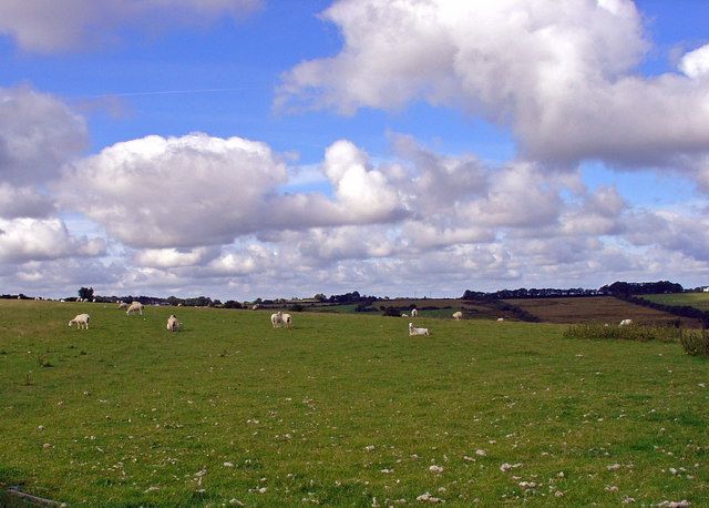
Coed Parc-llyn Images
Images are sourced within 2km of 52.19404/-4.2831888 or Grid Reference SN4457. Thanks to Geograph Open Source API. All images are credited.


Coed Parc-llyn is located at Grid Ref: SN4457 (Lat: 52.19404, Lng: -4.2831888)
Unitary Authority: Ceredigion
Police Authority: Dyfed Powys
What 3 Words
///crowns.wonderful.shells. Near Llanarth, Ceredigion
Nearby Locations
Related Wikis
Oakford, Ceredigion
Oakford (Welsh Derwen Gam) is a hamlet in the Welsh county of Ceredigion. It is some 5 miles (8 km) south of the coastal town of Aberaeron. == External... ==

Pen-cae
Pencae is a village in the community of Llanarth, Ceredigion, Wales, which is 68.2 miles (109.8 km) from Cardiff and 184 miles (296 km) from London. Pencae...
Llanarth, Ceredigion
Llanarth is both a small village and a community in Ceredigion, Wales. It is on the A487 road and is about 3 miles (4.8 km) from both Aberaeron and New...

Llwyncelyn, Ceredigion
Lwyncelyn is a village in Ceredigion, Wales, situated on the A487 trunk road approximately 2.7 mi (4.3 km) southwest of the town of Aberaeron and 2 mi...
Nearby Amenities
Located within 500m of 52.19404,-4.2831888Have you been to Coed Parc-llyn?
Leave your review of Coed Parc-llyn below (or comments, questions and feedback).