Allt Cwmbedw

Wood, Forest in Cardiganshire

Wales

Allt Cwmbedw

Bar Llaeth Gwarffynnon Wayside Milk Bar, selling milk from a local farm
Bar Llaeth Gwarffynnon Credit: Eirian Evans

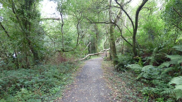
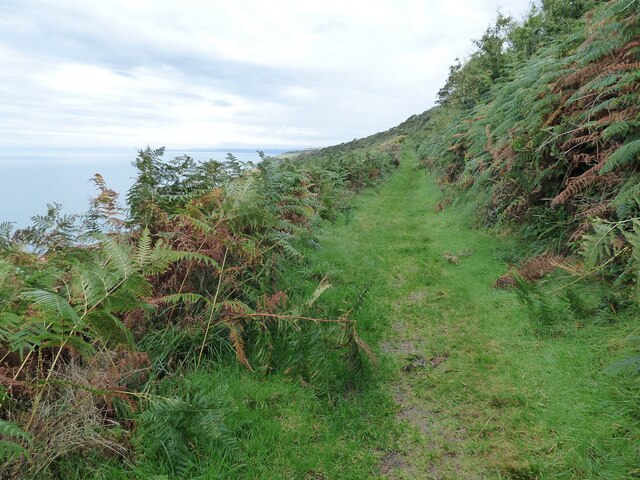
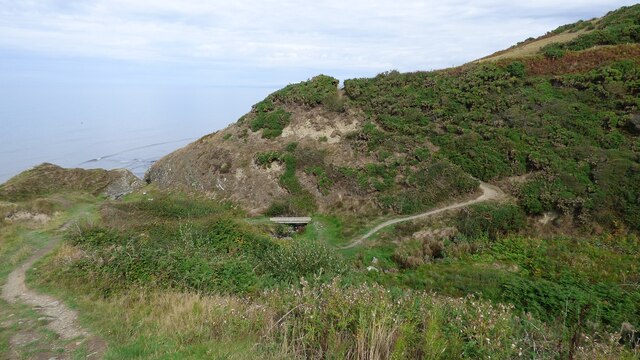
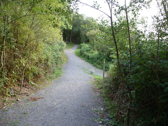
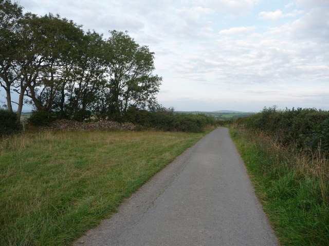
Allt Cwmbedw is a picturesque wood located in the county of Cardiganshire, Wales. Situated in the heart of the Cambrian Mountains, this forested area spans approximately 200 acres and boasts a diverse range of flora and fauna. The wood is nestled within a deep valley, offering visitors a serene and tranquil environment.

The woodland is primarily composed of native deciduous trees, including oak, beech, and birch, which create an enchanting canopy above the forest floor. The trees provide a habitat for a variety of wildlife, such as red squirrels, badgers, and numerous species of birds. Rare and protected species, such as the pearl-bordered fritillary butterfly, can also be found within the wood.

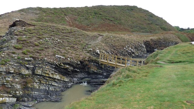
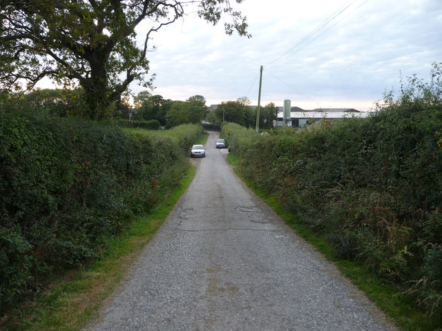
The forest is crisscrossed by several well-maintained trails, making it a popular destination for walkers, hikers, and nature enthusiasts. The paths wind through the dense undergrowth, allowing visitors to immerse themselves in the natural beauty of the surroundings. The wood also features a small river that meanders through its heart, adding to its scenic allure.

Allt Cwmbedw is not only a haven for wildlife and outdoor enthusiasts but also holds historical significance. The wood is believed to have been used as a hiding place for local rebels during the Welsh uprising against English rule in the early 15th century.

With its stunning landscapes, abundant wildlife, and rich history, Allt Cwmbedw is a captivating destination for those seeking a peaceful escape into nature in Cardiganshire.

If you have any feedback on the listing, please let us know in the comments section below.

Allt Cwmbedw Images

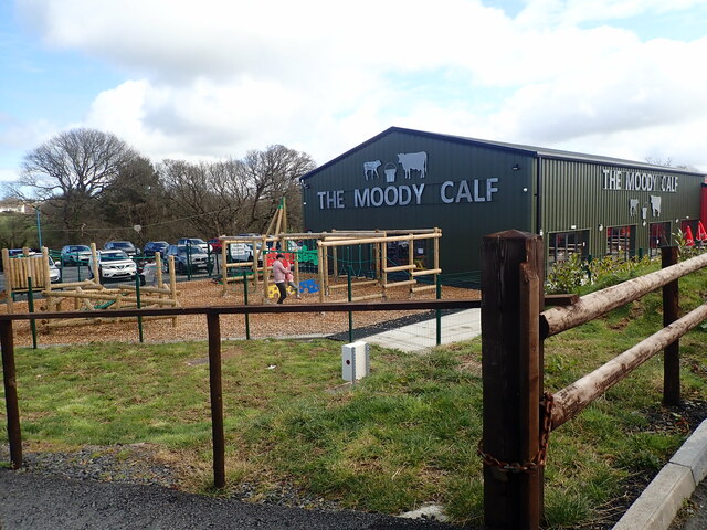
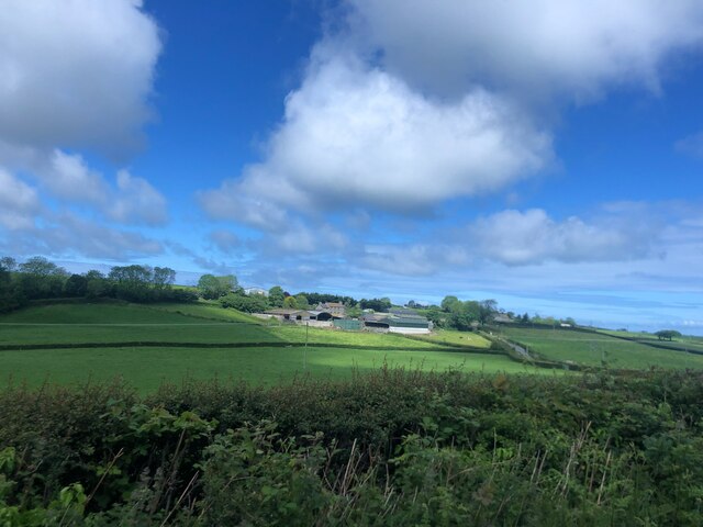
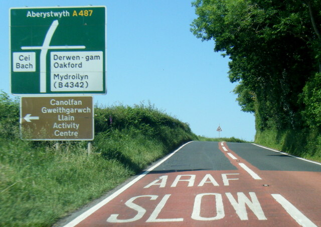
Images are sourced within 2km of 52.214197/-4.2944993 or Grid Reference SN4359. Thanks to Geograph Open Source API. All images are credited.

Bar Llaeth Gwarffynnon Wayside Milk Bar, selling milk from a local farm
Bar Llaeth Gwarffynnon
Wayside Milk Bar, selling milk from a local farm
The Moody Cow Farm shop and bistro at Llwyncelyn, south of Aberaeron.
The Moody Cow
Farm shop and bistro at Llwyncelyn, south of Aberaeron.
The Moody Calf Playground and Play Barn at the Moody Cow farm shop
The Moody Calf
Playground and Play Barn at the Moody Cow farm shop
Ceredigion Coast Path A tree fallen across the path at this point.
Ceredigion Coast Path
A tree fallen across the path at this point.
Sun shining on Castell-y-Geifr farm
A487 north of Llanarth
A487 at Pontrhyd
A487 at Pontrhyd
A487 in Llwyncelyn
A487 in Llwyncelyn
Ceredigion Coast Path The path leads through dense bracken along this length.
Ceredigion Coast Path
The path leads through dense bracken along this length.
Footbridge across the Afon Drywi
Ceredigion Coast path Bridge across the Ceri Brook. This bridge was erected sometime after 2004 <a href="https://www.geograph.org.uk/photo/499270">SN4361 : Cwm Cilfforch taken from Cilcert side</a>
Ceredigion Coast path
Bridge across the Ceri Brook. This bridge was erected sometime after 2004 SN4361 : Cwm Cilfforch taken from Cilcert side
A terrace of cottages at Ffos-y-Ffin
A487 at Ffos-y-ffin
A487 at Ffos-y-ffin
On Cei-bach beach, looking westwards An August evening beside the sea, who would want to be anywhere else?
On Cei-bach beach, looking westwards
An August evening beside the sea, who would want to be anywhere else?
Junction of paths above the Ceredigion coast Paths contour along the steep hillside above Little Quay Bay and some run down to the beach and up to the fields above.
Junction of paths above the Ceredigion coast
Paths contour along the steep hillside above Little Quay Bay and some run down to the beach and up to the fields above.
Lane with a hardcore store beside it Rubble, pebbles, stone and building or demolition rubble is piled here, available for filling potholes in the nearby farms.
Lane with a hardcore store beside it
Rubble, pebbles, stone and building or demolition rubble is piled here, available for filling potholes in the nearby farms.
Lane approaching Penlanymor farm and caravan park The lane runs down to the farm on the corner.
Lane approaching Penlanymor farm and caravan park
The lane runs down to the farm on the corner.
Part of Penlanymor Caravan Park These static caravans look out over Little Quay Bay towards New Quay.
Part of Penlanymor Caravan Park
These static caravans look out over Little Quay Bay towards New Quay.
Show me another place!

Allt Cwmbedw is located at Grid Ref: SN4359 (Lat: 52.214197, Lng: -4.2944993)

Unitary Authority: Ceredigion

Police Authority: Dyfed Powys

What 3 Words

///relies.clearcut.cabbage. Near Llanarth, Ceredigion

Related Wikis

Llwyncelyn, Ceredigion

Lwyncelyn is a village in Ceredigion, Wales, situated on the A487 trunk road approximately 2.7 mi (4.3 km) southwest of the town of Aberaeron and 2 mi...

Pont y Gilfach

Pont-y-Gilfach (or Pont y Gilfach) is a small village in the community of Henfynyw, Ceredigion, Wales, which is 70.1 miles (112.8 km) from Cardiff and...

Ffos-y-ffin

Ffos-y-ffin is a village near Aberaeron, Wales. It is a great place to see the Red Kites. It is on the very scenic road between Aberystwyth and Cardigan...

Llaingarreglwyd

Llaingarreglwyd is a hamlet in the community of Llanarth, Ceredigion, Wales, which is 70 miles (112.6 km) from Cardiff and 185.3 miles (298.1 km) from...

Nearby Amenities

Located within 500m of 52.214197,-4.2944993
Place: farm
Lat/Long: 52.2174084/-4.2957237
Power: pole
Lat/Long: 52.2106257/-4.2902195
Power: pole
Lat/Long: 52.2109065/-4.2898116
Power: pole
Lat/Long: 52.2113418/-4.2892753
Power: pole
Lat/Long: 52.2119035/-4.2885695
Power: pole
Lat/Long: 52.2125073/-4.2877766
The data included in this document is from www.openstreetmap.org. The data is made available under ODbL.

Have you been to Allt Cwmbedw?

Leave your review of Allt Cwmbedw below (or comments, questions and feedback).