Allt Panteryrod
Wood, Forest in Cardiganshire
Wales
Allt Panteryrod
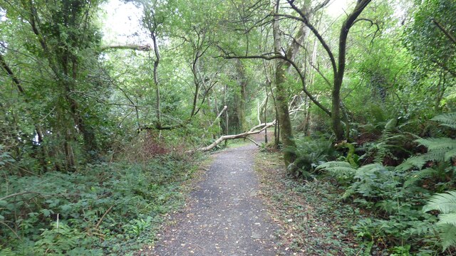
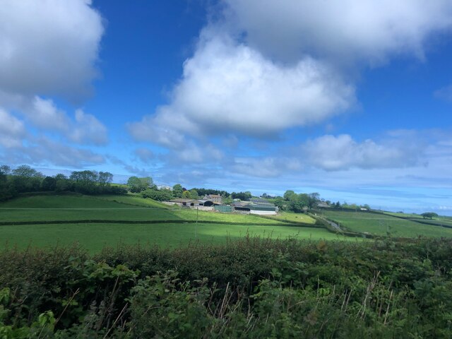
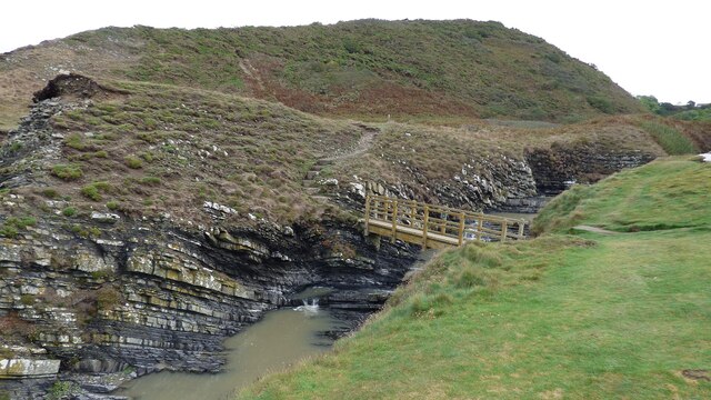
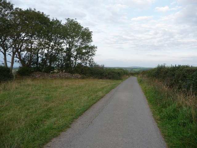
Allt Panteryrod is a picturesque woodland located in Cardiganshire, Wales. Spanning an area of approximately 100 hectares, this forest is a haven of natural beauty and tranquility. The name "Allt Panteryrod" translates to "Hill of the Red Pantry" in English, a nod to the red sandstone outcrop found within the forest.
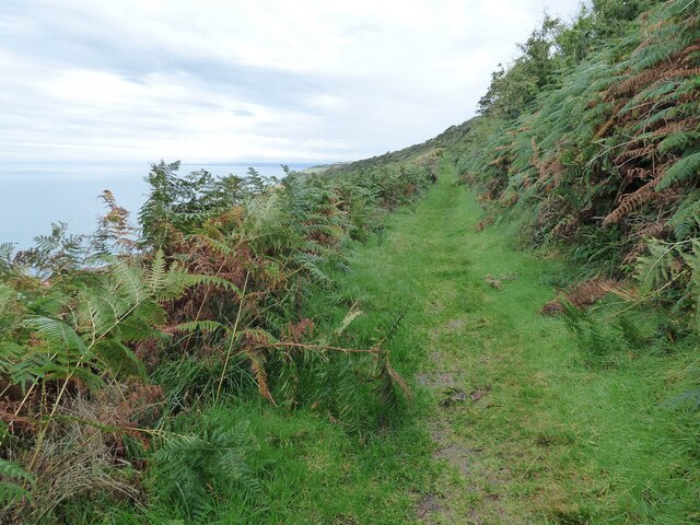
The woodland is predominantly composed of native tree species, including oak, beech, and ash. These majestic trees provide a dense canopy, creating a cool and shaded atmosphere below. The forest floor is adorned with a rich carpet of ferns, moss, and wildflowers, adding to the enchanting ambiance.
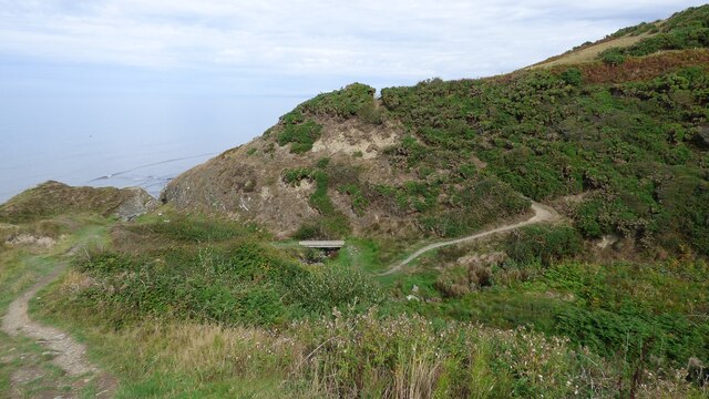
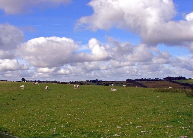
Allt Panteryrod is renowned for its diverse wildlife. The forest is home to an array of bird species, including woodpeckers, owls, and numerous songbirds. Small mammals such as squirrels, foxes, and badgers can also be spotted among the trees. The presence of a nearby river further enhances the biodiversity, attracting various aquatic species.
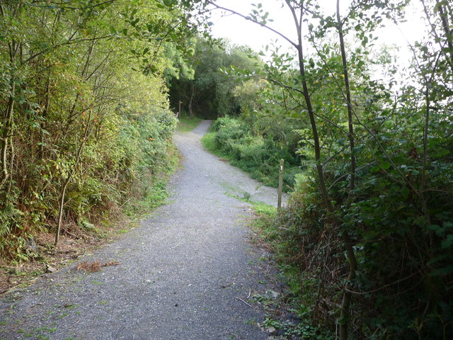
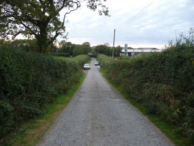
The forest offers numerous walking trails, making it a popular destination for hikers and nature enthusiasts. These trails wind through the woodland, allowing visitors to immerse themselves in its natural wonders. Additionally, Allt Panteryrod provides opportunities for outdoor activities such as birdwatching, photography, and picnicking.
The serene and unspoiled beauty of Allt Panteryrod makes it a must-visit destination for those seeking solace in nature. With its lush vegetation, diverse wildlife, and peaceful atmosphere, this forest is a true gem in the heart of Cardiganshire.
If you have any feedback on the listing, please let us know in the comments section below.
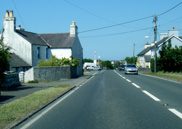
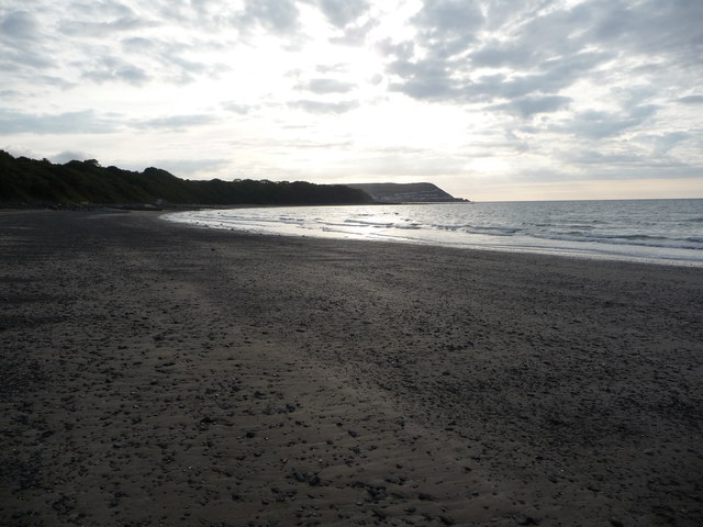
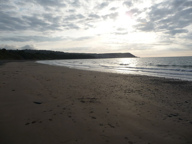
Allt Panteryrod Images
Images are sourced within 2km of 52.217412/-4.2984129 or Grid Reference SN4360. Thanks to Geograph Open Source API. All images are credited.
Allt Panteryrod is located at Grid Ref: SN4360 (Lat: 52.217412, Lng: -4.2984129)
Unitary Authority: Ceredigion
Police Authority: Dyfed Powys
What 3 Words
///toys.column.reward. Near Llanarth, Ceredigion
Nearby Locations
Related Wikis

Pont y Gilfach
Pont-y-Gilfach (or Pont y Gilfach) is a small village in the community of Henfynyw, Ceredigion, Wales, which is 70.1 miles (112.8 km) from Cardiff and...

Llwyncelyn, Ceredigion
Lwyncelyn is a village in Ceredigion, Wales, situated on the A487 trunk road approximately 2.7 mi (4.3 km) southwest of the town of Aberaeron and 2 mi...
Ffos-y-ffin
Ffos-y-ffin is a village near Aberaeron, Wales. It is a great place to see the Red Kites. It is on the very scenic road between Aberystwyth and Cardigan...
Llaingarreglwyd
Llaingarreglwyd is a hamlet in the community of Llanarth, Ceredigion, Wales, which is 70 miles (112.6 km) from Cardiff and 185.3 miles (298.1 km) from...

Henfynyw
Henfynyw is a village and community in the county of Ceredigion, Wales, just outside Aberaeron, and is 69.6 miles (111.9 km) from Cardiff and 183.5 miles...
Gilfachrheda
Gilfachrheda or Gilfachreda is a village in the community of Llanarth, Ceredigion, Wales, at the confluence of two small rivers, the Afon Gido and the...
Llanarth, Ceredigion
Llanarth is both a small village and a community in Ceredigion, Wales. It is on the A487 road and is about 3 miles (4.8 km) from both Aberaeron and New...
Oakford, Ceredigion
Oakford (Welsh Derwen Gam) is a hamlet in the Welsh county of Ceredigion. It is some 5 miles (8 km) south of the coastal town of Aberaeron. == External... ==
Nearby Amenities
Located within 500m of 52.217412,-4.2984129Have you been to Allt Panteryrod?
Leave your review of Allt Panteryrod below (or comments, questions and feedback).