Coed Blaen-wern
Wood, Forest in Cardiganshire
Wales
Coed Blaen-wern
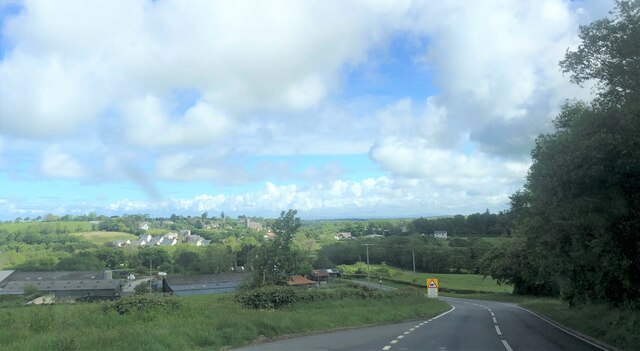
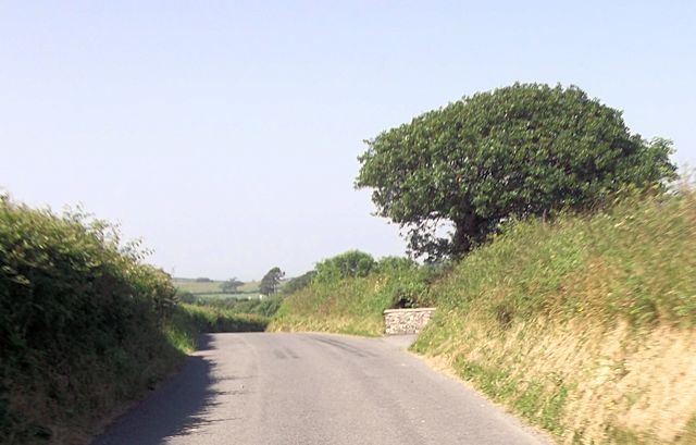
Coed Blaen-wern, located in Cardiganshire, is a picturesque wood or forest that offers visitors a tranquil and enchanting experience. Spread across a vast area, this natural landscape is known for its lush greenery, diverse wildlife, and serene atmosphere.
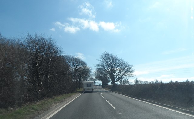
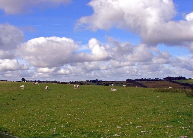
The woodland is predominantly composed of ancient broadleaf trees such as oak, beech, and ash, which create a dense canopy, providing shelter and food for a variety of wildlife species. Visitors to Coed Blaen-wern can expect to encounter a wide array of fauna, including deer, badgers, foxes, and numerous bird species.
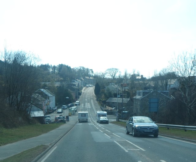
Walking through the forest, visitors will find well-maintained trails that meander through the woodlands, allowing for pleasant strolls and a chance to immerse oneself in nature. The paths are suitable for all levels of hikers, from beginners to more experienced adventurers.
In addition to its natural beauty, Coed Blaen-wern offers educational opportunities for those interested in learning about the local ecosystem and conservation efforts. The forest is home to an information center that provides insights into the history of the area, as well as the flora and fauna that can be found within the woodland.
With its peaceful ambiance and breathtaking views, Coed Blaen-wern is a popular destination for nature lovers, hikers, and those seeking a peaceful retreat. It provides a sanctuary away from the hustle and bustle of everyday life, allowing visitors to reconnect with nature and experience the tranquility that only a woodland setting can offer.
If you have any feedback on the listing, please let us know in the comments section below.
Coed Blaen-wern Images
Images are sourced within 2km of 52.182911/-4.3038301 or Grid Reference SN4256. Thanks to Geograph Open Source API. All images are credited.


![OSBM Flush Bracket S7784 - Llanarth School Ordnance Survey Benchmark (OSBM) used for levelling height above Ordnance Datum (OD).
Height (1956): 123.9320m OD (Newlyn). Mark verified by the Ordnance Survey in 1975. Description: FL BR S7784 SCH SW SIDE RD N ANG NE FACE. 0.3m above ground. 1st Order BM.
The bracket was used on the Cardigan to Aberystwyth line (G082) of the Third Geodetic Levelling of England &amp; Wales in 1956. Abstract G 65: <span class="nowrap"><a title="http://discovery.nationalarchives.gov.uk/SearchUI/details?Uri=C11264473" rel="nofollow ugc noopener" href="http://discovery.nationalarchives.gov.uk/SearchUI/details?Uri=C11264473">Link</a><img style="margin-left:2px;" alt="External link" title="External link - shift click to open in new window" src="https://s1.geograph.org.uk/img/external.png" width="10" height="10"/></span> [OS 54/754]
The bracket was originally used on the Aberayron to Carmarthen secondary line of the Second Geodetic Levelling of England &amp; Wales in 1953-1954. It was levelled with a height of 406.491&#039; above OD (Newlyn). Description: On NE face of school, Llanarth. Abstract S 7: <span class="nowrap"><a title="http://discovery.nationalarchives.gov.uk/details/r/C11225155" rel="nofollow ugc noopener" href="http://discovery.nationalarchives.gov.uk/details/r/C11225155">Link</a><img style="margin-left:2px;" alt="External link" title="External link - shift click to open in new window" src="https://s1.geograph.org.uk/img/external.png" width="10" height="10"/></span> [OS 54/639]
Close-up: <a href="https://www.geograph.org.uk/photo/4747380">SN4257 : Ordnance Survey Flush Bracket S7784</a>](https://s3.geograph.org.uk/geophotos/04/89/10/4891067_e03e7e41.jpg)
Coed Blaen-wern is located at Grid Ref: SN4256 (Lat: 52.182911, Lng: -4.3038301)
Unitary Authority: Ceredigion
Police Authority: Dyfed Powys
What 3 Words
///adults.awoke.masterpiece. Near Llanarth, Ceredigion
Nearby Locations
Related Wikis

Pen-cae
Pencae is a village in the community of Llanarth, Ceredigion, Wales, which is 68.2 miles (109.8 km) from Cardiff and 184 miles (296 km) from London. Pencae...
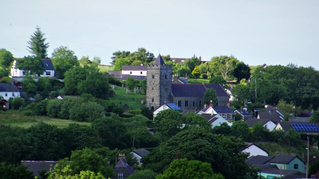
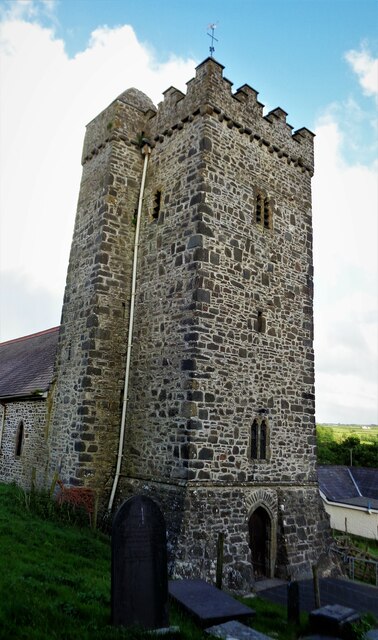
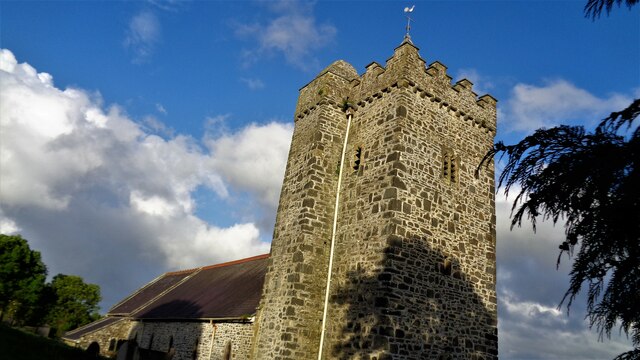
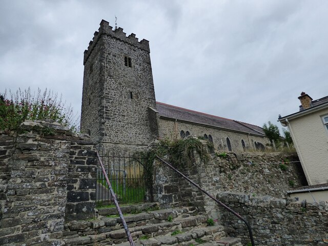
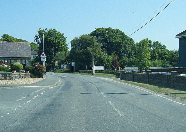
Llanarth, Ceredigion
Llanarth is both a small village and a community in Ceredigion, Wales. It is on the A487 road and is about 3 miles (4.8 km) from both Aberaeron and New...
Rhyd-y-Beillen
Rhyd-y-Beillen is a hamlet in the community of Llanarth, Ceredigion, Wales, which is 68.5 miles (110.2 km) from Cardiff and 185.1 miles (297.9 km) from...
Gilfachrheda
Gilfachrheda or Gilfachreda is a village in the community of Llanarth, Ceredigion, Wales, at the confluence of two small rivers, the Afon Gido and the...
Nearby Amenities
Located within 500m of 52.182911,-4.3038301Have you been to Coed Blaen-wern?
Leave your review of Coed Blaen-wern below (or comments, questions and feedback).