Allt Ffinnant

Wood, Forest in Cardiganshire

Wales

Allt Ffinnant

Llandysul Food Festival Carreg-las Dancers with keen youngsters performing "Dilwyn"
Llandysul Food Festival Credit: chris whitehouse

Allt Ffinnant is a wood located in Cardiganshire, Wales. Situated in the beautiful and scenic countryside, it is a popular destination for nature lovers and outdoor enthusiasts. The wood covers an area of approximately 200 acres, providing ample space for exploration and relaxation.

The wood is predominantly made up of native broadleaf trees, such as oak, beech, and birch, creating a diverse and vibrant ecosystem. The dense canopy of the trees offers shade and shelter to a variety of wildlife, including birds, insects, and small mammals.

Visitors to Allt Ffinnant can enjoy a range of activities, including hiking, birdwatching, and photography. There are well-maintained trails throughout the wood, allowing visitors to easily navigate and explore the different areas. The wood is also home to a number of picturesque streams and small waterfalls, adding to its natural beauty.

In addition to its recreational value, Allt Ffinnant also plays an important role in conservation efforts. The wood is managed sustainably, with ongoing efforts to preserve its biodiversity and protect its delicate ecosystem. This includes regular tree planting and maintenance, as well as the removal of invasive species.

Overall, Allt Ffinnant is a stunning wood that offers a peaceful and tranquil retreat for those seeking to connect with nature. With its diverse flora and fauna, scenic trails, and conservation efforts, it is a cherished natural gem in Cardiganshire.

If you have any feedback on the listing, please let us know in the comments section below.

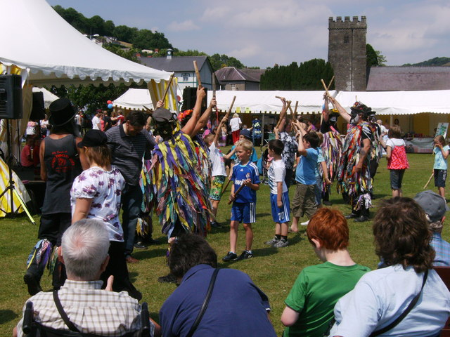
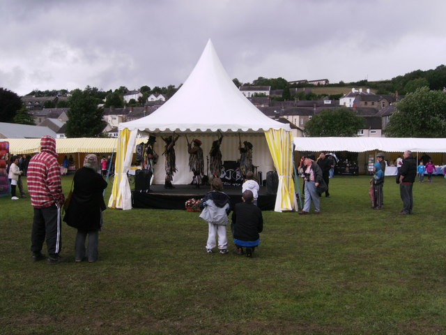
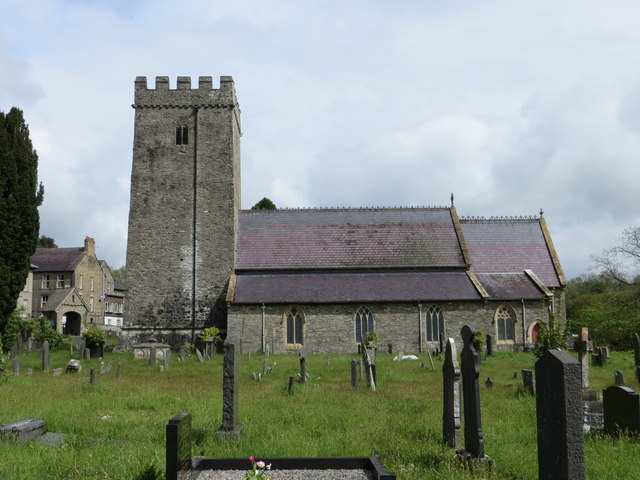
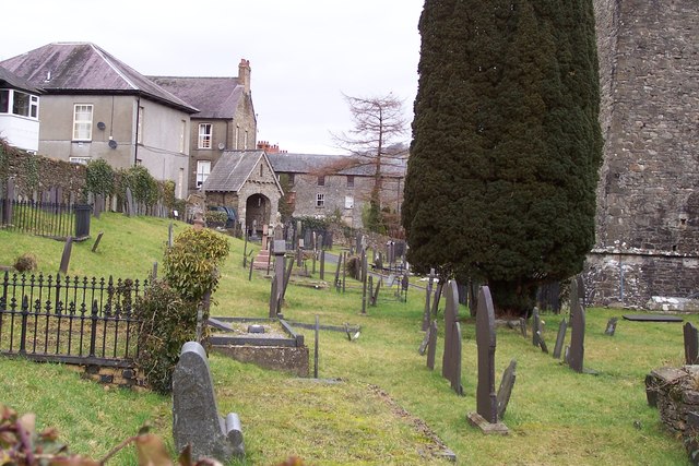
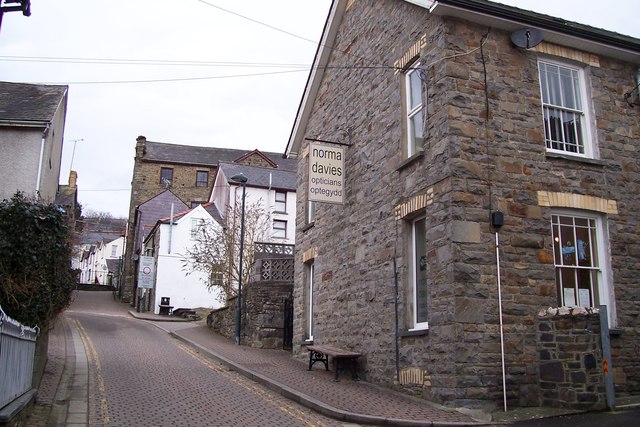
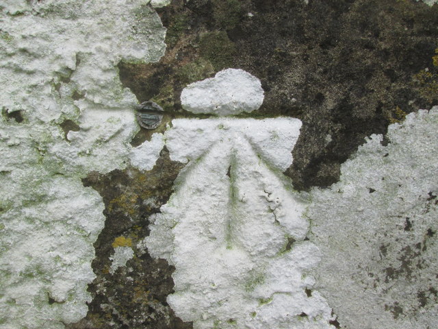
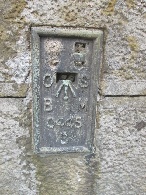
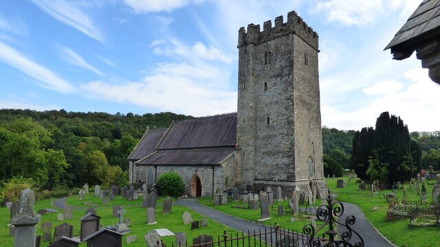
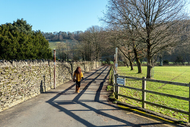
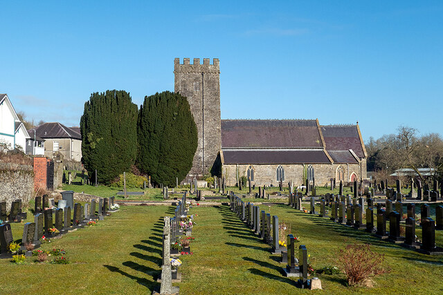
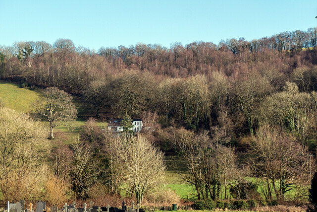
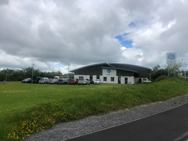
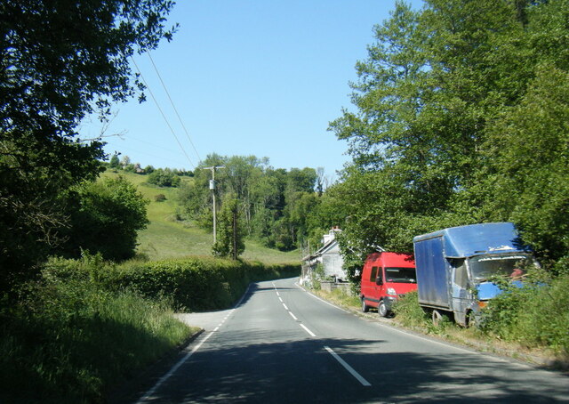
Allt Ffinnant Images

Images are sourced within 2km of 52.043996/-4.3313406 or Grid Reference SN4040. Thanks to Geograph Open Source API. All images are credited.

Llandysul Food Festival Carreg-las Dancers with keen youngsters performing "Dilwyn"
Llandysul Food Festival
Carreg-las Dancers with keen youngsters performing "Dilwyn"
Llandysul Food Festival Not the best of weather, Carreg-las dancing took place on the sheltered stage as the grass was very wet and slippery, one could be forgiven if this photo was mistaken for a "Punch and Judy Show"! 2010 photo is <a href="https://www.geograph.org.uk/photo/2763690">SN4140 : Llandysul Food Festival</a> perfect weather!
Llandysul Food Festival
Not the best of weather, Carreg-las dancing took place on the sheltered stage as the grass was very wet and slippery, one could be forgiven if this photo was mistaken for a "Punch and Judy Show"! 2010 photo is SN4140 : Llandysul Food Festival perfect weather!
Site of Llandysul Station Yard The new Llandysul bypass, on the right,goes across the site of Llandysul Station, closed as part of the Beeching Plan.  The long building on the left is all that is left of the station's goods facilities.  Sidings ran alongside and wagons were unloaded directly into them.
Site of Llandysul Station Yard
The new Llandysul bypass, on the right,goes across the site of Llandysul Station, closed as part of the Beeching Plan. The long building on the left is all that is left of the station's goods facilities. Sidings ran alongside and wagons were unloaded directly into them.
St Tysul's Church at Llandysul
Ordnance Survey Flush Bracket S0445 This can be found on a gatepost in Seion Hill.
For more detail see : <span class="nowrap"><a title="http://www.bench-marks.org.uk/log?bm_key=20586" rel="nofollow ugc noopener" href="http://www.bench-marks.org.uk/log?bm_key=20586">Link</a><img style="margin-left:2px;" alt="External link" title="External link - shift click to open in new window" src="https://s1.geograph.org.uk/img/external.png" width="10" height="10"/></span>
Ordnance Survey Flush Bracket S0445
This can be found on a gatepost in Seion Hill. For more detail see : LinkExternal link
St Tysul's Church, Llandysul The church of St Tysul was founded by Tysul, 462 - 554, at the meeting place of a number of tracks at a ford over the River Teifi. The present stone structure dates from the thirteenth century and the roof remained thatched until 1783. The ancient altar with its early Christian inscription was incorporated into the altar of the Lady Chapel. The simple nave is separated from the north and south aisles by plain square pillars. Other ancient carved stones are found in the choir vestry. One of these is the Velvor Stone, a fragment cut from the middle of an inscribed slab.

The tower houses a ring of six bells which are rung regularly.
St Tysul's Church, Llandysul
The church of St Tysul was founded by Tysul, 462 - 554, at the meeting place of a number of tracks at a ford over the River Teifi. The present stone structure dates from the thirteenth century and the roof remained thatched until 1783. The ancient altar with its early Christian inscription was incorporated into the altar of the Lady Chapel. The simple nave is separated from the north and south aisles by plain square pillars. Other ancient carved stones are found in the choir vestry. One of these is the Velvor Stone, a fragment cut from the middle of an inscribed slab. The tower houses a ring of six bells which are rung regularly.
Lon Wesley, Llandysul, Ceredigion
Ordnance Survey 1GL Bolt This OS Bolt can be found on the west face of the tower of St Tyssul's Church. It marks a point 64.1065m above mean sea level.
Ordnance Survey 1GL Bolt
This OS Bolt can be found on the west face of the tower of St Tyssul's Church. It marks a point 64.1065m above mean sea level.
Ordnance Survey Flush Bracket (S0445) This OS Flush Bracket can be found on the south face of Seion Hill. It marks a point 79.233m above mean sea level.
Ordnance Survey Flush Bracket (S0445)
This OS Flush Bracket can be found on the south face of Seion Hill. It marks a point 79.233m above mean sea level.
St Tysul's Church <span class="nowrap"><a title="https://www.dyfedarchaeology.org.uk/wp/discovery/projects/churches/st-tysul-llandysul-ceredigion/" rel="nofollow ugc noopener" href="https://www.dyfedarchaeology.org.uk/wp/discovery/projects/churches/st-tysul-llandysul-ceredigion/">Link</a><img style="margin-left:2px;" alt="External link" title="External link - shift click to open in new window" src="https://s1.geograph.org.uk/img/external.png" width="10" height="10"/></span>
St Tysul's Church
Lane in Llandysul Leads to Afon Teifi from the town car park.
Lane in Llandysul
Leads to Afon Teifi from the town car park.
Eglwys St Tysul Church and graveyard, Llandysul The tower dates back to the 13th Century, but stones in the tower and Lady Chapel pre-date that. St Tysul was the first cousin of St David, the patron saint of Wales. Dyfed Archaeological trust:<span class="nowrap"><a title="https://www.dyfedarchaeology.org.uk/wp/discovery/projects/churches/st-tysul-llandysul-ceredigion/" rel="nofollow ugc noopener" href="https://www.dyfedarchaeology.org.uk/wp/discovery/projects/churches/st-tysul-llandysul-ceredigion/">Link</a><img style="margin-left:2px;" alt="External link" title="External link - shift click to open in new window" src="https://s1.geograph.org.uk/img/external.png" width="10" height="10"/></span>
Eglwys St Tysul Church and graveyard, Llandysul
The tower dates back to the 13th Century, but stones in the tower and Lady Chapel pre-date that. St Tysul was the first cousin of St David, the patron saint of Wales. Dyfed Archaeological trust:LinkExternal link
Stranded at Llandysul! Adventure Coachlines operate the once a day T1c (TrawsCymru) service from Aberystwyth to Cardiff. Unfortunately, on the day that I chose to use it, the coach came to a halt at Llandysul and could go no further. An air leak prevented the doors from closing, so it was immobilised. A local mechanic was summoned, but he was unable to fix the problem. Eventually, after a three-hour wait, a replacement coach arrived from Aberystwyth. Looking on the bright side, I was able to score a Geograph personal point as I have previously driven through Llandysul but never stopped there!
Stranded at Llandysul!
Adventure Coachlines operate the once a day T1c (TrawsCymru) service from Aberystwyth to Cardiff. Unfortunately, on the day that I chose to use it, the coach came to a halt at Llandysul and could go no further. An air leak prevented the doors from closing, so it was immobilised. A local mechanic was summoned, but he was unable to fix the problem. Eventually, after a three-hour wait, a replacement coach arrived from Aberystwyth. Looking on the bright side, I was able to score a Geograph personal point as I have previously driven through Llandysul but never stopped there!
Dol-llan A house standing above Afon Teifi on the edge of Llandysul.
Dol-llan
A house standing above Afon Teifi on the edge of Llandysul.
Gwasg Gomer Welsh book publishers based at the Groesffordd Business Park, near Llandysul. Established at the turn of the 20th century, it was the foremost publisher of Welsh books. However, in 2019 they decided to stop their publishing arm and concentrate on printing. Their back catalogue of Welsh books were bought by the Lolfa and Atebol, the former taking adult books and Atebol taking children's books.
Gwasg Gomer
Welsh book publishers based at the Groesffordd Business Park, near Llandysul. Established at the turn of the 20th century, it was the foremost publisher of Welsh books. However, in 2019 they decided to stop their publishing arm and concentrate on printing. Their back catalogue of Welsh books were bought by the Lolfa and Atebol, the former taking adult books and Atebol taking children's books.
A475 at Sychbant
A475 at Sychbant
Site of former Llandyssul station, 2004 View SE, towards Pencader: ex-GWR Pencader - Newcastle Emlyn branch. Passenger services on the branch ceased from 15/9/52, goods not until 22/9/73 (Llandyssul from 5/9/65). In 2004 the site was in commercial use, but in more recent years it has been incorporated in a great new Llandyssul by-pass.
Site of former Llandyssul station, 2004
View SE, towards Pencader: ex-GWR Pencader - Newcastle Emlyn branch. Passenger services on the branch ceased from 15/9/52, goods not until 22/9/73 (Llandyssul from 5/9/65). In 2004 the site was in commercial use, but in more recent years it has been incorporated in a great new Llandyssul by-pass.
St Tysul's Church, Llandysul
Show me another place!

Allt Ffinnant is located at Grid Ref: SN4040 (Lat: 52.043996, Lng: -4.3313406)

Unitary Authority: Ceredigion

Police Authority: Dyfed Powys

What 3 Words

///protects.bullion.truck. Near Llandysul, Ceredigion

Nearby Locations

Allt Isaf Allt Ffinnant

Related Wikis

Ysgol Dyffryn Teifi

Ysgol Dyffryn Teifi was a bilingual (Welsh and English) comprehensive school in Llandysul, Ceredigion. It stood on the site of the previous Llandysul Grammar...

Llandyssul railway station

Llandyssul (previously Llandyssil) was a railway station near the village of Llandysul, West Wales, on the originally broad gauge Teifi Valley line of...

Llandysul

Llandysul, also spelt Llandyssul, is a small town and community in the county of Ceredigion, Wales. As a community it consists of the townships of Capel...

Troedrhiwffenyd

Troedrhiwffenyd is a hamlet in the community of Llandysul, Ceredigion, Wales, which is 63.2 miles (101.7 km) from Cardiff and 183.2 miles (294.8 km) from...

Pentrellwyn

Pentrellwyn is a small village in the community of Llandysul, Ceredigion, Wales. Pentrellwyn is represented in the Senedd by Elin Jones (Plaid Cymru) and...

Bangor Teifi

Bangor Teifi is a hamlet in the community of Llandyfriog, Ceredigion, Wales, which is 63.7 miles (102.5 km) from Cardiff and 184.7 miles (297.2 km) from...

Pentrecourt Platform railway station

Pentrecourt Platform was a minor railway station near the village of Pentrecwrt, West Wales, on the originally broad gauge Teifi Valley line of the Carmarthen...

Faerdrefawr

Faerdrefawr is a small village in the community of Llandysul, Ceredigion, Wales, which is 62.2 miles (100 km) from Cardiff and 182 miles (293 km) from...

Nearby Amenities

Located within 500m of 52.043996,-4.3313406
Penffynnon Farm
Place: farm
Lat/Long: 52.0444732/-4.3371828
Place: farm
Lat/Long: 52.0438001/-4.324909
The data included in this document is from www.openstreetmap.org. The data is made available under ODbL.

Have you been to Allt Ffinnant?

Leave your review of Allt Ffinnant below (or comments, questions and feedback).