Allt Crych-du
Wood, Forest in Carmarthenshire
Wales
Allt Crych-du

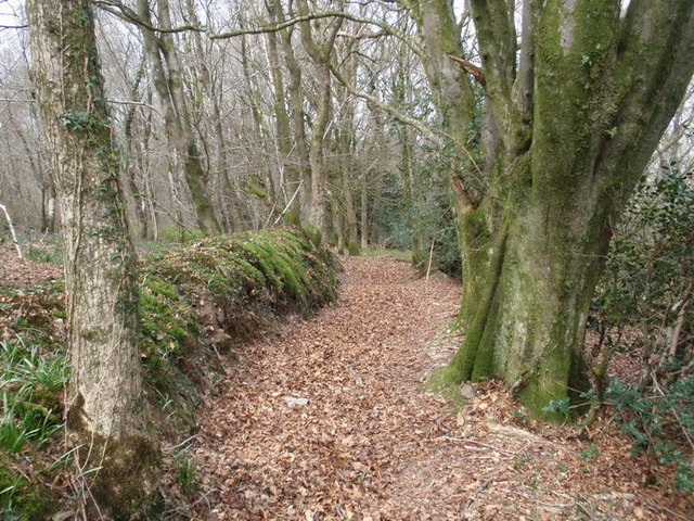
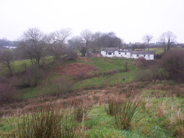
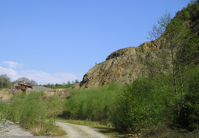
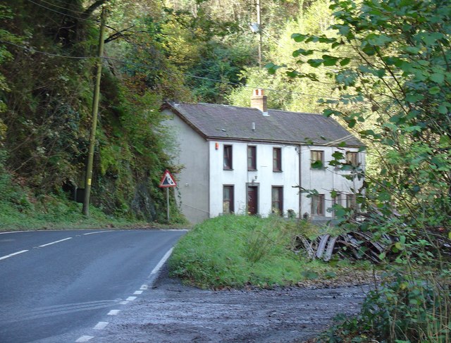
Allt Crych-du is a picturesque wood located in the county of Carmarthenshire, Wales. Situated near the village of Llangynin, this enchanting forest covers an area of approximately 50 hectares. It is known for its rich biodiversity and beautiful landscapes, making it a popular destination for nature enthusiasts and hikers.
The wood is mainly composed of deciduous trees, including oak, birch, and beech, which create a vibrant and colorful canopy throughout the year. The forest floor is adorned with an array of wildflowers and ferns, adding to the captivating atmosphere of the area. The diverse vegetation provides a habitat for various species of birds, small mammals, and insects, making it a haven for wildlife.
Numerous walking trails meander through Allt Crych-du, offering visitors the opportunity to explore its natural wonders. These paths vary in difficulty, catering to both leisurely strollers and more experienced hikers. Along the way, there are several viewpoints that provide breathtaking vistas of the surrounding valleys and hills, making it a perfect spot for photography enthusiasts.
The wood is also steeped in history, with remnants of ancient settlements and burial mounds scattered throughout the area. These archaeological sites add an additional layer of intrigue to Allt Crych-du and attract those interested in the region's past.
Allt Crych-du offers a tranquil and serene escape from the hustle and bustle of everyday life. Its natural beauty, diverse wildlife, and rich history make it a must-visit destination for anyone seeking a peaceful and immersive woodland experience.
If you have any feedback on the listing, please let us know in the comments section below.
Allt Crych-du Images
Images are sourced within 2km of 51.908722/-4.3254303 or Grid Reference SN4025. Thanks to Geograph Open Source API. All images are credited.


Allt Crych-du is located at Grid Ref: SN4025 (Lat: 51.908722, Lng: -4.3254303)
Unitary Authority: Carmarthenshire
Police Authority: Dyfed Powys
What 3 Words
///balloons.topples.connector. Near Carmarthen, Carmarthenshire
Nearby Locations
Related Wikis

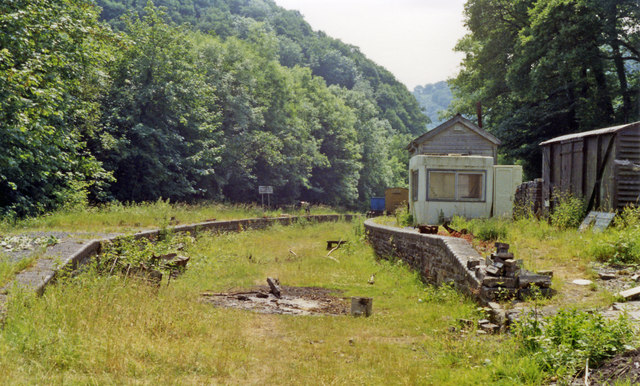
Danycoed Halt railway station
Danycoed Halt, which is Welsh for below the trees, was built by the Gwili Railway in the late 1990s and opened in 2001. It is the current northern terminus...
Llwyfan Cerrig railway station
Llwyfan Cerrig is a heritage railway station on the preserved Gwili Railway. The station (along with a nearby Danycoed halt) previously did not exist before...

Elvet Hundred
Elvet was a hundred, a geographic division, in the northwest of the traditional county of Carmarthenshire, Wales. Boundaries Extent of the Elvet Hundreds...
Llannewydd
Llannewydd or Newchurch is a parish in Carmarthenshire, Wales. It is 3 miles (5 km) north of Carmarthen on the banks of the Gwili. The church was rebuilt...

Conwil railway station
Conwil was a railway station near the village of Cynwyl Elfed in Carmarthenshire, Wales, serving the hamlet and the rural locale. It was once a thriving...

Bronwydd
Bronwydd is a village and community in the county of Carmarthenshire, Wales, situated about three miles north of Carmarthen in the valley of the River...
Newchurch and Merthyr
Newchurch and Merthyr is a community located in Carmarthenshire, Wales including the villages of Newchurch (Welsh: Eglwysnewydd) and Merthyr. The community...
Bronwydd Arms transmitting station
The Bronwydd Arms television relay station is sited on high ground to the west of the village of Bronwydd to the north of Carmarthen. It was originally...
Nearby Amenities
Located within 500m of 51.908722,-4.3254303Have you been to Allt Crych-du?
Leave your review of Allt Crych-du below (or comments, questions and feedback).