Coed Moelfre
Wood, Forest in Caernarfonshire
Wales
Coed Moelfre
Coed Moelfre, located in Caernarfonshire, Wales, is a picturesque wood and forest area renowned for its natural beauty and rich biodiversity. Covering an expansive area of land, Coed Moelfre is a haven for nature enthusiasts and outdoor adventurers alike.
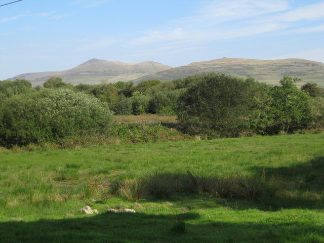
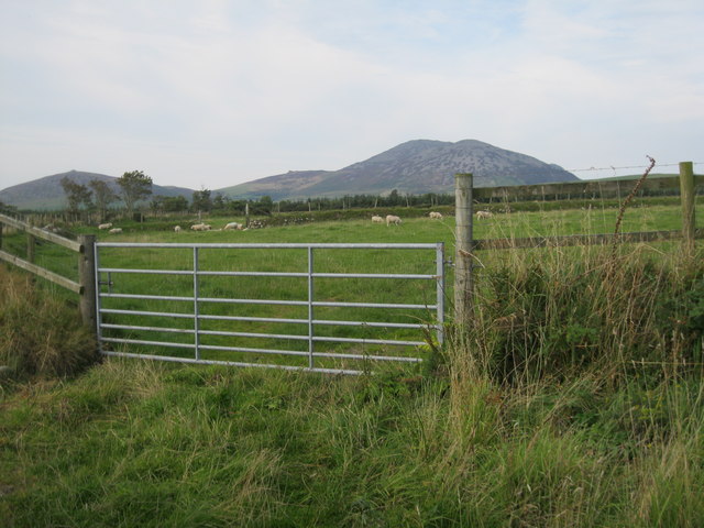
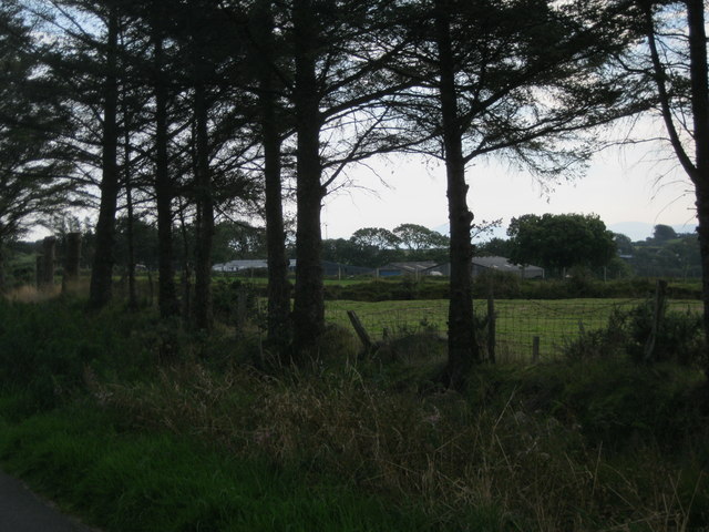
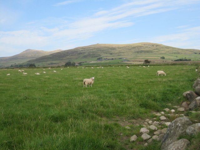
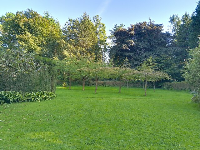
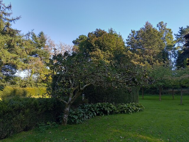
The woodland is characterized by its dense canopy of various tree species, including oak, beech, and birch, which create a vibrant and diverse ecosystem. The forest floor boasts an array of plants and wildflowers, adding splashes of color to the landscape throughout the year.
Coed Moelfre is home to a wide range of wildlife, making it a favored destination for birdwatchers and animal lovers. Visitors have the opportunity to spot numerous species of birds, such as buzzards, woodpeckers, and owls. Small mammals, including foxes, squirrels, and badgers, can also be observed in their natural habitat.
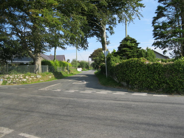
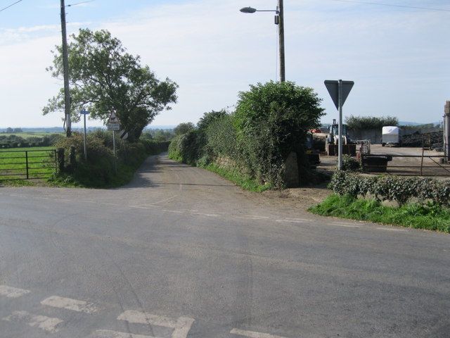
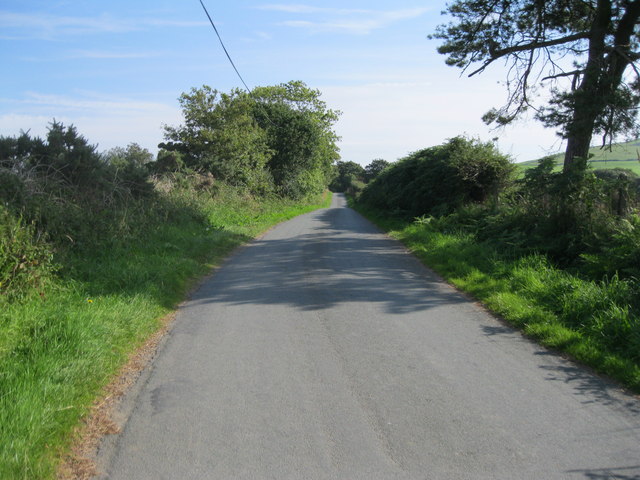
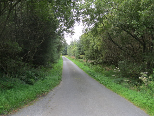
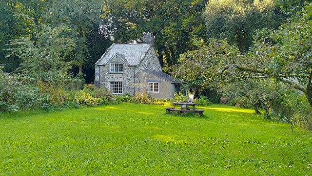
The wood offers an extensive network of walking trails, allowing visitors to explore its beauty at their own pace. These well-maintained paths wind through the forest, providing breathtaking views of the surrounding countryside. Additionally, Coed Moelfre offers picnic spots and designated camping areas, allowing visitors to immerse themselves in the tranquility of nature.
Conservation efforts are in place to protect the delicate ecosystem of Coed Moelfre. Local authorities work together with environmental organizations to maintain the forest's biodiversity and ensure its sustainability for future generations.
Coed Moelfre is a hidden gem within Caernarfonshire, offering a serene retreat for those seeking solace in nature. Its stunning landscapes, diverse flora and fauna, and peaceful ambiance make it a must-visit destination for nature lovers and outdoor enthusiasts in Wales.
If you have any feedback on the listing, please let us know in the comments section below.
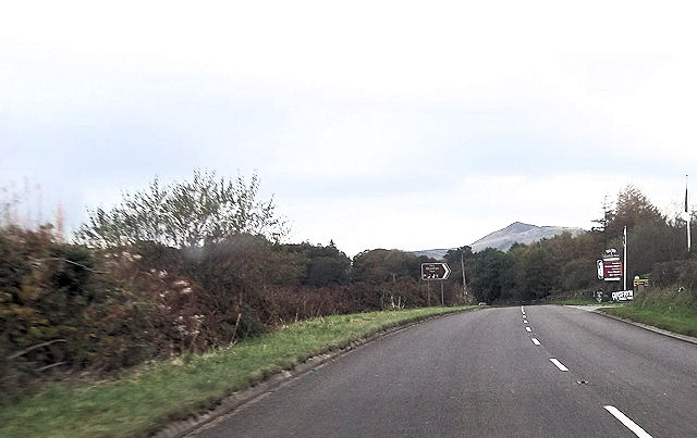
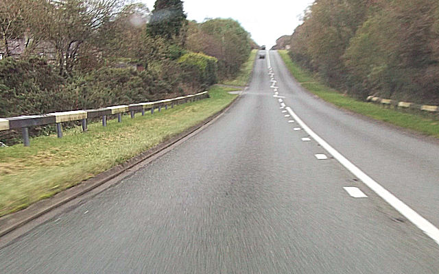
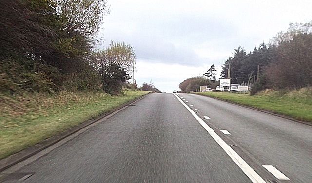
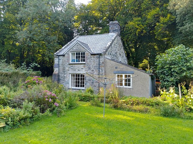
Coed Moelfre Images
Images are sourced within 2km of 52.960125/-4.3859454 or Grid Reference SH3942. Thanks to Geograph Open Source API. All images are credited.


Coed Moelfre is located at Grid Ref: SH3942 (Lat: 52.960125, Lng: -4.3859454)
Unitary Authority: Gwynedd
Police Authority: North Wales
What 3 Words
///gums.cartoons.skate. Near Pwllheli, Gwynedd
Nearby Locations
Related Wikis

1984 Llŷn Peninsula earthquake
The 1984 Llŷn Peninsula earthquake struck the Llŷn Peninsula in Gwynedd, northwest Wales on Thursday 19 July 1984 at 06:56 UTC (07:56 BST). Measuring 5...

A499 road
The A499 road is the major road of the Llŷn peninsula in North Wales. Its northern terminus is a roundabout with the A487 trunk road between Llanwnda and...

Llanaelhaearn
Llanaelhaearn is a village and community on the Llŷn Peninsula in the county of Gwynedd, Wales. The community includes the larger village of Trefor and...
Carnguwch
Carnguwch is a former civil parish in the Welsh county of Gwynedd. It was abolished in 1934, and incorporated into Pistyll. The parish included 1,179...
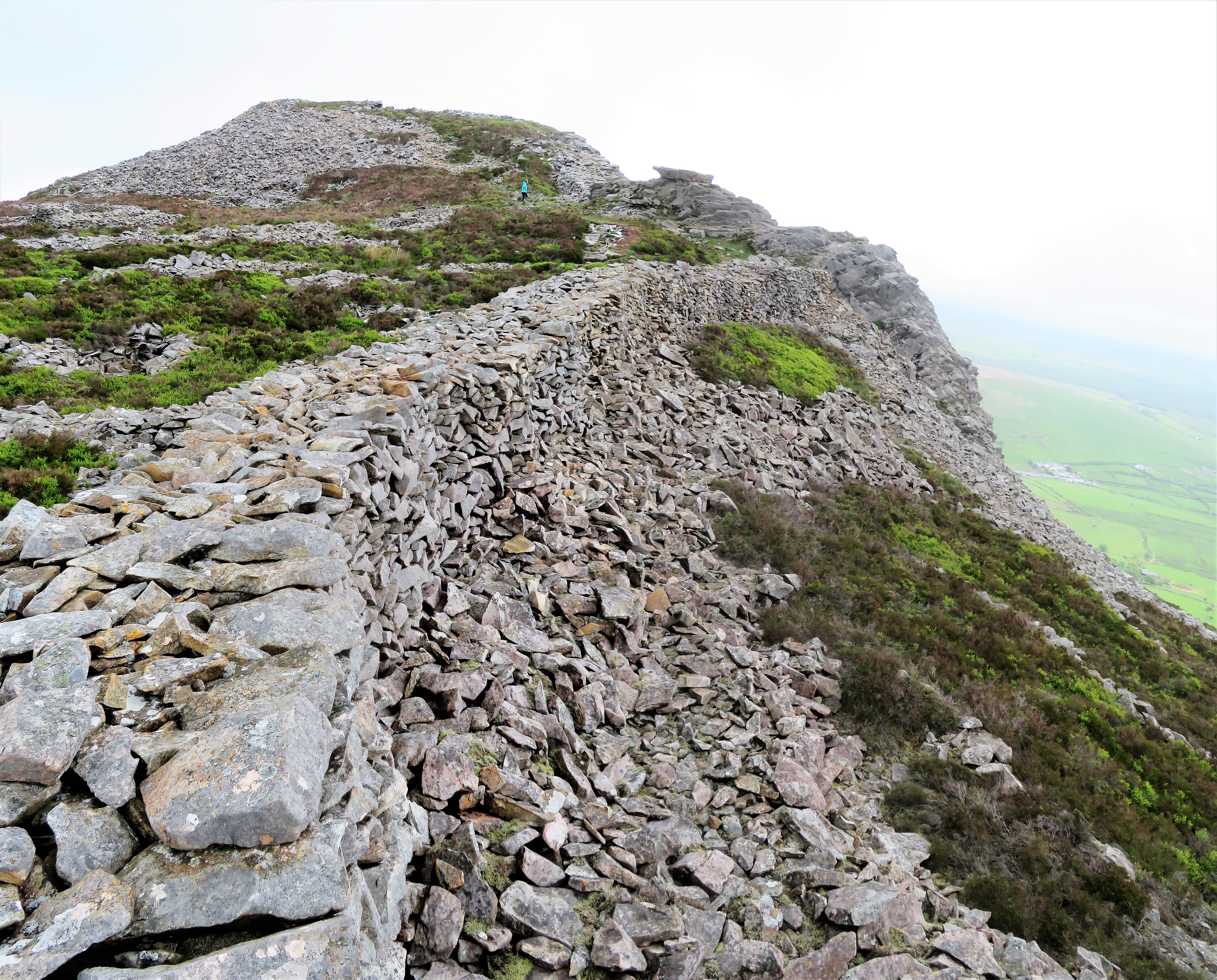
Tre'r Ceiri
Tre'r Ceiri ([treːr ˈkɛiri] ) is a hillfort dating back to the Iron Age. The name means 'town of the giants', from cewri, plural of cawr, 'giant'. The...
Trefor Quarry railway
The Trefor Quarry railway was an industrial, 1 ft 11+1⁄2 in (597 mm) narrow-gauge railway connecting the Trefor granite quarry with the pier at Llanaelhaearn...
Cantref Llŷn
Llŷn was an ancient Welsh cantref in north-west Wales. It was part of the kingdom of Gwynedd for much of its history until it was included in the new county...

Llangybi, Gwynedd
Llangybi (English: Cybi's Church) is a village and former civil parish in the Eifionydd area of the Welsh county of Gwynedd, near Llanarmon. The parish...
Related Videos

Tre’r ceiri walk 24/04/2021
A walk up an Iron Age hill fort in the Llyn peninsula North Wales..
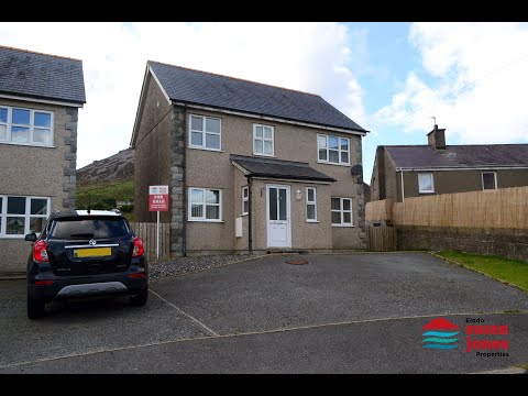
Tŷ unigol gyda 2 neu 3 llofft Llanaelhaearn Detached 2 or 3 bedroomed house £150k
https://www.susanjones.cymru/property/residential/for-sale/caernarfon/llanaelhaearn/llain-fain/103165000148 This property was ...

Yr Eifl and Trefor Seafront, Gwynedd, North Wales Drone Footage - DJI Mavic Mini
I went up Yr Eifl (The Rivals) mountains to start a flight towards Trefor Seafront at sunrise, and then back towards the quarry area ...
Have you been to Coed Moelfre?
Leave your review of Coed Moelfre below (or comments, questions and feedback).