Coed Gydrhos

Wood, Forest in Caernarfonshire

Wales

Coed Gydrhos

Ffordd trwy Goedwig Glasfryn - Road through Glasfryn forest The road leading down to Llanaelhaearn, just beyond the ruins of Bryngadfan Fawr.
Ffordd trwy Goedwig Glasfryn - Road through Glasfryn forest Credit: Alan Fryer

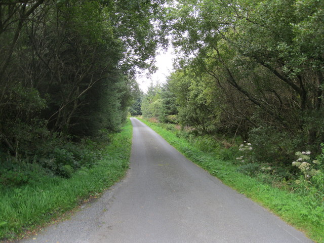
Coed Gydrhos is a picturesque woodland located in the county of Caernarfonshire, Wales. With its lush greenery and serene surroundings, it offers a tranquil retreat for nature lovers and outdoor enthusiasts alike. The wood is situated near the village of Llanrug, just a short distance from the popular tourist destination of Caernarfon.

Spanning over a vast area, Coed Gydrhos is home to a diverse range of plant and animal species, making it an ideal spot for wildlife enthusiasts. The woodland is primarily composed of native trees such as oak, beech, and birch, creating a beautiful canopy overhead. The forest floor is adorned with a variety of wildflowers, adding a burst of color to the landscape during the warmer months.

Visitors to Coed Gydrhos can explore the wood through a network of well-maintained walking trails, which offer both easy and more challenging routes. These paths wind through the forest, allowing visitors to immerse themselves in the natural beauty while enjoying the fresh air and peaceful atmosphere.

The wood also features an abundance of wildlife, including squirrels, badgers, and a multitude of bird species. Birdwatchers will have the opportunity to spot native birds such as woodpeckers, tits, and finches. Additionally, the woodland is known for its population of red squirrels, which are a rare sight in many parts of the UK.

Coed Gydrhos is not only a haven for nature lovers but also a valuable resource for the local community. It provides a recreational space for residents and visitors to connect with nature, offering a range of activities such as walking, picnicking, and photography.

If you have any feedback on the listing, please let us know in the comments section below.
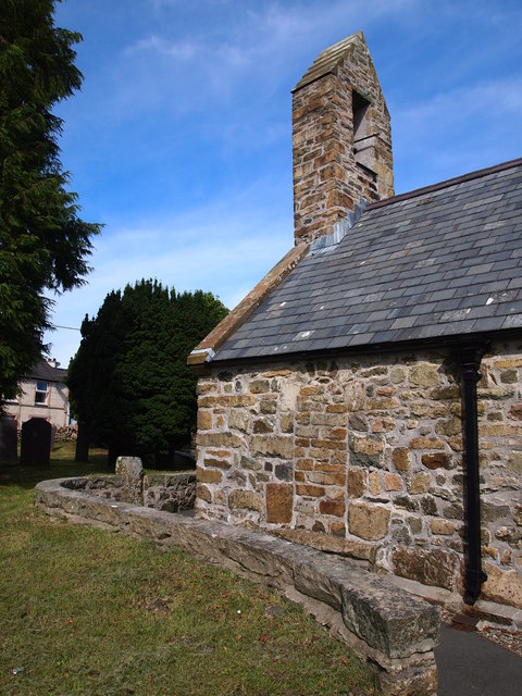
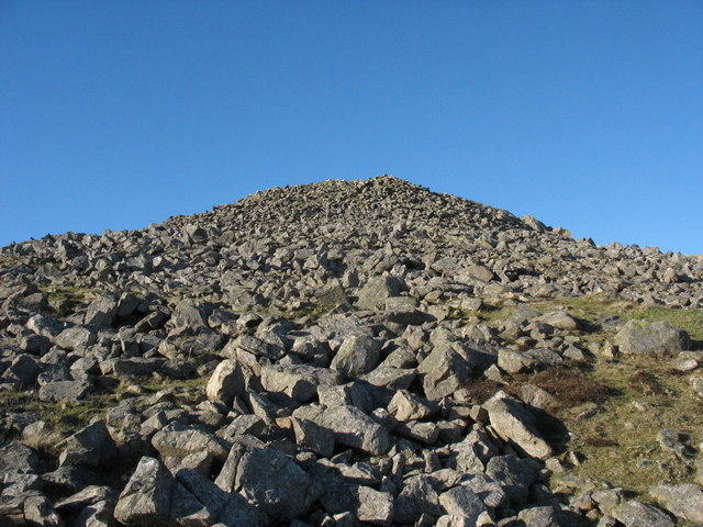
Coed Gydrhos Images

Images are sourced within 2km of 52.96101/-4.3937968 or Grid Reference SH3943. Thanks to Geograph Open Source API. All images are credited.

Ffordd trwy Goedwig Glasfryn - Road through Glasfryn forest The road leading down to Llanaelhaearn, just beyond the ruins of Bryngadfan Fawr.
Ffordd trwy Goedwig Glasfryn - Road through Glasfryn forest
The road leading down to Llanaelhaearn, just beyond the ruins of Bryngadfan Fawr.
Dry stone wall with fields beside B4417 The wall and fields are beside the B4417 heading towards Llanaelhaearn which is the village right of centre in the image; Gyrn Ddu is the distant, central hill.
Dry stone wall with fields beside B4417
The wall and fields are beside the B4417 heading towards Llanaelhaearn which is the village right of centre in the image; Gyrn Ddu is the distant, central hill.
Trallwyn Hall entrance off A499
Parc Glasfryn activirty centre entrance From A499
Parc Glasfryn activirty centre entrance
From A499
A499 at Pont y Gydrhos
A499 at Glasfryn fencing centre
Long straight north of timber yard
A499 south of Llanaelhaearn Signs for village ahead
A499 south of Llanaelhaearn
Signs for village ahead
Phone box and bus stop in Llanaelhaearn
Entrance to Llanaelhaearn
Mynydd Carnguwch Parking space to the NNW, then follow fence to fence junction to avoid prickly vegetation. The follow fence line plus over wall to find large summit cairn with hollowed out centre.

Name: Mynydd Carnguwch
Hill number: 5144
Height: 359m / 1178ft
Area: 30A: Anglesey and the Lleyn Peninsula
Class: Hu
Grid ref: SH 37464 42925
Summit feature: large cairn
Drop: 104m
Col: 255m  SH368434
Mynydd Carnguwch
Parking space to the NNW, then follow fence to fence junction to avoid prickly vegetation. The follow fence line plus over wall to find large summit cairn with hollowed out centre. Name: Mynydd Carnguwch Hill number: 5144 Height: 359m / 1178ft Area: 30A: Anglesey and the Lleyn Peninsula Class: Hu Grid ref: SH 37464 42925 Summit feature: large cairn Drop: 104m Col: 255m SH368434
St Aelhaearn's Church and Early Christian Monument View of the oldest part of the church possibly late 12th or early 13th century, note the blocked south door. An early christian inscribed stone is set in the wall (possibly upside down).
St Aelhaearn's Church and Early Christian Monument
View of the oldest part of the church possibly late 12th or early 13th century, note the blocked south door. An early christian inscribed stone is set in the wall (possibly upside down).
View east from near Cae-garw View east from near Cae Garw, in the centre in the distance is Moel Hebog
View east from near Cae-garw
View east from near Cae Garw, in the centre in the distance is Moel Hebog
Farmland south of Llanaelhaearn
View to Gyrn Ddu View to Gyrn Ddu from the B4417 south-west of Llanaelhaearn.
View to Gyrn Ddu
View to Gyrn Ddu from the B4417 south-west of Llanaelhaearn.
Rough grassing near Llanaelhaearn
The B4417 approaching Llanaelhaearn The B4417 to the south-west of Llanaelhaearn, Gyrn Ddu is in the background.
The B4417 approaching Llanaelhaearn
The B4417 to the south-west of Llanaelhaearn, Gyrn Ddu is in the background.
Wall and path near Tre'r Ceiri
Show me another place!

Coed Gydrhos is located at Grid Ref: SH3943 (Lat: 52.96101, Lng: -4.3937968)

Unitary Authority: Gwynedd

Police Authority: North Wales

What 3 Words

///ketchup.unopposed.exonerate. Near Pwllheli, Gwynedd

Related Wikis

1984 Llŷn Peninsula earthquake

The 1984 Llŷn Peninsula earthquake struck the Llŷn Peninsula in Gwynedd, northwest Wales on Thursday 19 July 1984 at 06:56 UTC (07:56 BST). Measuring 5...

A499 road

The A499 road is the major road of the Llŷn peninsula in North Wales. Its northern terminus is a roundabout with the A487 trunk road between Llanwnda and...

Llanaelhaearn

Llanaelhaearn is a village and community on the Llŷn Peninsula in the county of Gwynedd, Wales. The community includes the larger village of Trefor and...

Carnguwch

Carnguwch is a former civil parish in the Welsh county of Gwynedd. It was abolished in 1934, and incorporated into Pistyll. The parish included 1,179...
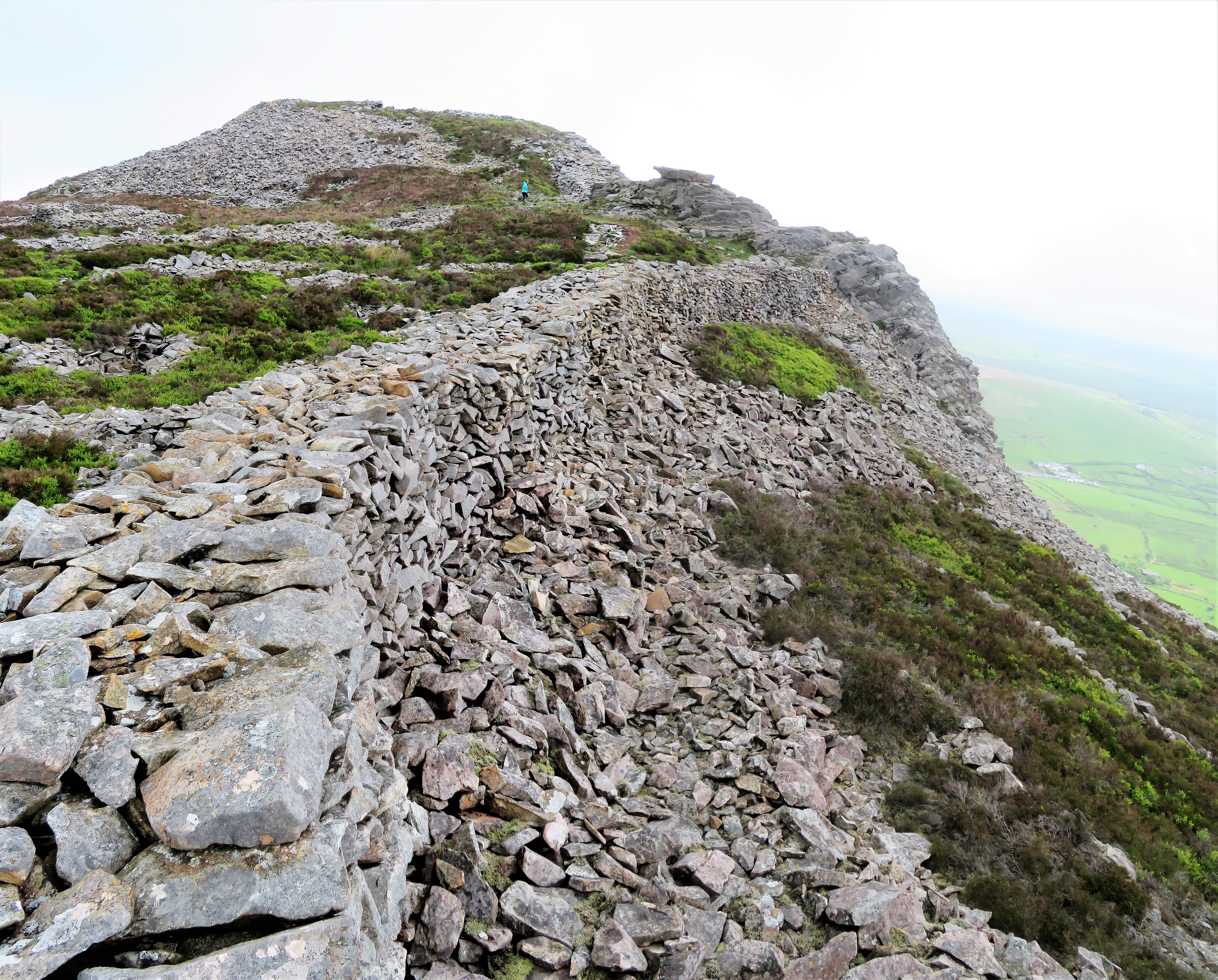
Tre'r Ceiri

Tre'r Ceiri ([treːr ˈkɛiri] ) is a hillfort dating back to the Iron Age. The name means 'town of the giants', from cewri, plural of cawr, 'giant'. The...

Trefor Quarry railway

The Trefor Quarry railway was an industrial, 1 ft 11+1⁄2 in (597 mm) narrow-gauge railway connecting the Trefor granite quarry with the pier at Llanaelhaearn...

Cantref Llŷn

Llŷn was an ancient Welsh cantref in north-west Wales. It was part of the kingdom of Gwynedd for much of its history until it was included in the new county...
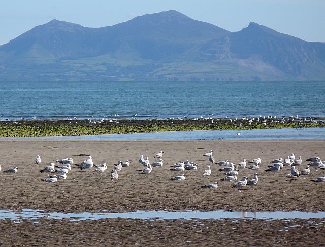
Yr Eifl

Yr Eifl, sometimes called the Rivals in English, is a group of hills on the north coast of the Llŷn Peninsula in Gwynedd, Wales. On a clear day, the views...

Nearby Amenities

Located within 500m of 52.96101,-4.3937968
Power: pole
Lat/Long: 52.9647578/-4.3965929
Power: pole
Lat/Long: 52.9638757/-4.3962906
Power: pole
Lat/Long: 52.9631986/-4.3960543
Power: pole
Lat/Long: 52.9625139/-4.3957904
Power: pole
Lat/Long: 52.9615894/-4.3954572
Power: pole
Lat/Long: 52.9606184/-4.395099
Power: pole
Lat/Long: 52.9597737/-4.3947475
Power: pole
Lat/Long: 52.9588841/-4.3944468
Power: pole
Lat/Long: 52.9581003/-4.3941832
Power: pole
Lat/Long: 52.9572962/-4.3938655
The data included in this document is from www.openstreetmap.org. The data is made available under ODbL.

Have you been to Coed Gydrhos?

Leave your review of Coed Gydrhos below (or comments, questions and feedback).