Allt Troed-yr-hŵch

Wood, Forest in Cardiganshire

Wales

Allt Troed-yr-hŵch

Gwasg Gomer Welsh book publishers based at the Groesffordd Business Park, near Llandysul. Established at the turn of the 20th century, it was the foremost publisher of Welsh books. However, in 2019 they decided to stop their publishing arm and concentrate on printing. Their back catalogue of Welsh books were bought by the Lolfa and Atebol, the former taking adult books and Atebol taking children's books.
Gwasg Gomer Credit: Eirian Evans

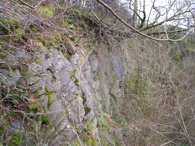
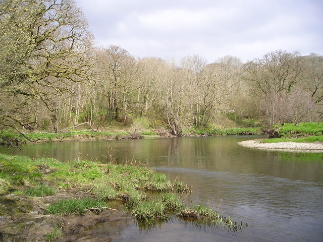
Allt Troed-yr-hŵch is a picturesque woodland located in Cardiganshire, Wales. It covers an area of approximately 50 hectares and is known for its diverse range of flora and fauna. The woodland is situated on a gently sloping hillside, providing visitors with stunning views of the surrounding countryside.

The forest is predominantly composed of native broadleaf trees, including oak, beech, and birch. These trees create a dense canopy that provides shade and shelter for a variety of wildlife species. The forest floor is carpeted with a rich layer of mosses, ferns, and wildflowers, adding to the area's natural beauty.

Allt Troed-yr-hŵch is home to a wide range of wildlife, making it a haven for nature enthusiasts. Birdwatchers can spot species such as woodpeckers, song thrushes, and tawny owls. The forest is also inhabited by mammals like badgers, foxes, and deer, which can occasionally be seen grazing or foraging in the undergrowth.

Visitors to Allt Troed-yr-hŵch can explore the woodland through a network of well-maintained footpaths. These paths lead to various viewpoints, allowing visitors to take in the stunning vistas of the surrounding landscape. The forest is a popular destination for hikers and nature lovers, offering opportunities for peaceful walks and wildlife spotting.

Overall, Allt Troed-yr-hŵch is a charming woodland in Cardiganshire, offering a tranquil escape for those seeking to immerse themselves in nature. Its diverse range of plant and animal life, combined with breathtaking views, make it a must-visit destination for anyone in the area.

If you have any feedback on the listing, please let us know in the comments section below.

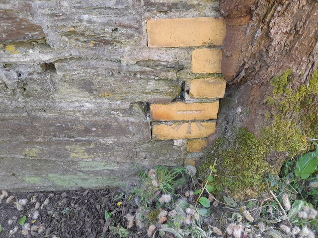
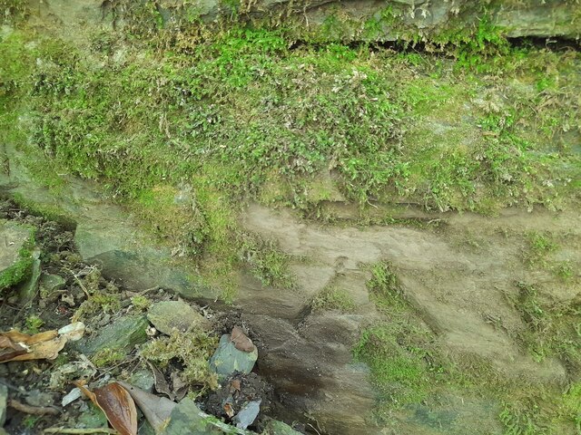
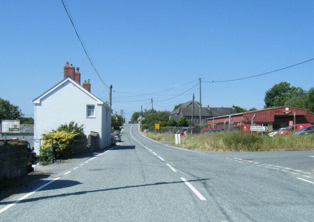
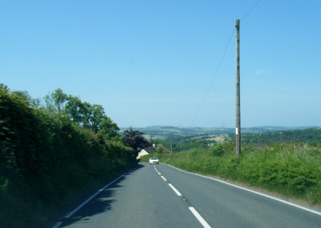
Allt Troed-yr-hŵch Images

Images are sourced within 2km of 52.045204/-4.350654 or Grid Reference SN3841. Thanks to Geograph Open Source API. All images are credited.

Gwasg Gomer Welsh book publishers based at the Groesffordd Business Park, near Llandysul. Established at the turn of the 20th century, it was the foremost publisher of Welsh books. However, in 2019 they decided to stop their publishing arm and concentrate on printing. Their back catalogue of Welsh books were bought by the Lolfa and Atebol, the former taking adult books and Atebol taking children's books.
Gwasg Gomer
Welsh book publishers based at the Groesffordd Business Park, near Llandysul. Established at the turn of the 20th century, it was the foremost publisher of Welsh books. However, in 2019 they decided to stop their publishing arm and concentrate on printing. Their back catalogue of Welsh books were bought by the Lolfa and Atebol, the former taking adult books and Atebol taking children's books.
Ordnance Survey Rivet This OS rivet can be found on the west parapet of Pont Allt-y-cafan. It marks a point 57.957m above mean sea level.
Ordnance Survey Rivet
This OS rivet can be found on the west parapet of Pont Allt-y-cafan. It marks a point 57.957m above mean sea level.
Ordnance Survey Cut Mark This OS cut mark can be found on the garage at Graig-y-deri. It marks a point 95.144m above mean sea level.
Ordnance Survey Cut Mark
This OS cut mark can be found on the garage at Graig-y-deri. It marks a point 95.144m above mean sea level.
Ger Pont Allt y Cafan / Near Pont Allt y Cafan Cerddwyr yn dilyn hen reilffordd ar lan Afon Teifi.

Walkers following a former railway on the banks of the Teifi River
Ger Pont Allt y Cafan / Near Pont Allt y Cafan
Cerddwyr yn dilyn hen reilffordd ar lan Afon Teifi. Walkers following a former railway on the banks of the Teifi River
Afon Teifi and the surviving part of Allt-y-cafn Mills, Pentre Cwrt These mills were developed from the 1860s by John Lloyd Davies. (Information from 'The Buildings of Wales') On the 1889 1:2500 map this was the only building shown, captioned 'Allt-y-cafn Factory (Woollen)' It is being renovated, presumably for housing.  The line across the river is a weir, which surprisingly is not shown on the 1889 map but is on the 1906 edition, on which the building has become 'Alltcavan Mills (Woollen)'.
Afon Teifi and the surviving part of Allt-y-cafn Mills, Pentre Cwrt
These mills were developed from the 1860s by John Lloyd Davies. (Information from 'The Buildings of Wales') On the 1889 1:2500 map this was the only building shown, captioned 'Allt-y-cafn Factory (Woollen)' It is being renovated, presumably for housing. The line across the river is a weir, which surprisingly is not shown on the 1889 map but is on the 1906 edition, on which the building has become 'Alltcavan Mills (Woollen)'.
The Afon Teifi from Pont Allt-y-cafn, Pentre Cwrt The bridge is very high above the river.
The Afon Teifi from Pont Allt-y-cafn, Pentre Cwrt
The bridge is very high above the river.
Ordnance Survey Rivet This OS rivet can be found on the step at the NE angle of the church. It marks a point 141.194m above mean sea level.
Ordnance Survey Rivet
This OS rivet can be found on the step at the NE angle of the church. It marks a point 141.194m above mean sea level.
Ordnance Survey Cut Mark This OS cut mark can be found on the south parapet of the bridge. It marks a point 42.043m above mean sea level.
Ordnance Survey Cut Mark
This OS cut mark can be found on the south parapet of the bridge. It marks a point 42.043m above mean sea level.
Ordnance Survey Cut Mark This OS cut mark can be found on the east buttress of the railway bridge. It marks a point 43.445m above mean sea level.
Ordnance Survey Cut Mark
This OS cut mark can be found on the east buttress of the railway bridge. It marks a point 43.445m above mean sea level.
A475 at Horeb Royal Mail depot
A475 near Dolifor
A475 near Dolifor
Allt-y-Cefn Tunnel Eastern portal of the 168yd, single track Allt-y-Cefn (Llangeler) tunnel on the former GW line between Pentrecourt and Llandyssul, taken in 1980.  Apologies for the poor picture quality - blame the Welsh weather!
Allt-y-Cefn Tunnel
Eastern portal of the 168yd, single track Allt-y-Cefn (Llangeler) tunnel on the former GW line between Pentrecourt and Llandyssul, taken in 1980. Apologies for the poor picture quality - blame the Welsh weather!
Afon Teifi View of the bridge built in 1839 over the Afon Teifi.
Afon Teifi
View of the bridge built in 1839 over the Afon Teifi.
Flora of the Afon Teifi Rhododendron leaves and bluebell shoots growing on the bank of the Afon Teifi.
Flora of the Afon Teifi
Rhododendron leaves and bluebell shoots growing on the bank of the Afon Teifi.
February flora Catkins growing in the Teifi Valley.
February flora
Catkins growing in the Teifi Valley.
Afon Teifi Salmon river!
Afon Teifi
Salmon river!
The energy of the Afon Teifi The sound of the water and bird song is amazing.
The energy of the Afon Teifi
The sound of the water and bird song is amazing.
Disused Quarry
Disused Quarry
Show me another place!

Allt Troed-yr-hŵch is located at Grid Ref: SN3841 (Lat: 52.045204, Lng: -4.350654)

Unitary Authority: Ceredigion

Police Authority: Dyfed Powys

What 3 Words

///panel.tastier.shared. Near Llandysul, Ceredigion

Nearby Locations

Allt Troed-yr-hŵch

Related Wikis

Bangor Teifi

Bangor Teifi is a hamlet in the community of Llandyfriog, Ceredigion, Wales, which is 63.7 miles (102.5 km) from Cardiff and 184.7 miles (297.2 km) from...

Pentrecourt Platform railway station

Pentrecourt Platform was a minor railway station near the village of Pentrecwrt, West Wales, on the originally broad gauge Teifi Valley line of the Carmarthen...

Civil-Military Cooperation Centre of Excellence

The Civil-Military Cooperation Centre of Excellence (CCOE) is an international military organization founded to support NATO's transformation program....

Ysgol Dyffryn Teifi

Ysgol Dyffryn Teifi was a bilingual (Welsh and English) comprehensive school in Llandysul, Ceredigion. It stood on the site of the previous Llandysul Grammar...

Troedrhiwffenyd

Troedrhiwffenyd is a hamlet in the community of Llandysul, Ceredigion, Wales, which is 63.2 miles (101.7 km) from Cardiff and 183.2 miles (294.8 km) from...

Glyncaled

Glyncaled is a hamlet in the community of Llandyfriog, Ceredigion, Wales, which is 64.8 miles (104.3 km) from Cardiff and 185.8 miles (299 km) from London...

Llandyssul railway station

Llandyssul (previously Llandyssil) was a railway station near the village of Llandysul, West Wales, on the originally broad gauge Teifi Valley line of...

Trebedw

Trebedw is a small village in the community of Llandyfriog, Ceredigion, Wales. Trebedw is represented in the Senedd by Elin Jones (Plaid Cymru) and is...

Nearby Amenities

Located within 500m of 52.045204,-4.350654
Power: tower
Lat/Long: 52.0447394/-4.3439564
Power: tower
Lat/Long: 52.0466246/-4.3446199
Power: tower
Lat/Long: 52.047787/-4.3455575
Direction: S
Generator Method: photovoltaic
Generator Output Electricity: yes
Generator Solar Modules: 8
Generator Source: solar
Generator Type: solar_photovoltaic_panel
Location: roof
Power: generator
Lat/Long: 52.0455588/-4.3533801
The data included in this document is from www.openstreetmap.org. The data is made available under ODbL.

Have you been to Allt Troed-yr-hŵch?

Leave your review of Allt Troed-yr-hŵch below (or comments, questions and feedback).