Allt Cwm-hyar

Wood, Forest in Cardiganshire

Wales

Allt Cwm-hyar

Ordnance Survey Cut Mark This OS cut mark can be found on the wall SW side of the road. It marks a point 113.090m above mean sea level.
Ordnance Survey Cut Mark Credit: Adrian Dust

The requested URL returned error: 429 Too Many Requests

If you have any feedback on the listing, please let us know in the comments section below.

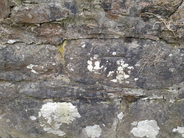
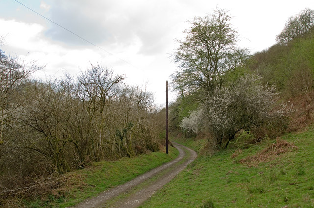
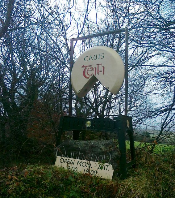
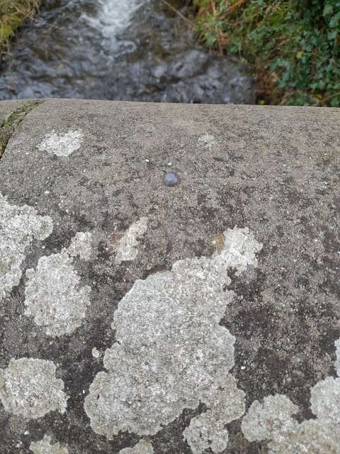
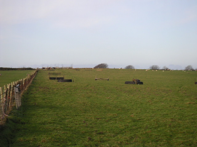
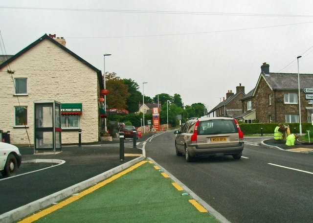
Allt Cwm-hyar Images

Images are sourced within 2km of 52.084257/-4.3556405 or Grid Reference SN3845. Thanks to Geograph Open Source API. All images are credited.

Ordnance Survey Cut Mark This OS cut mark can be found on the wall SW side of the road. It marks a point 113.090m above mean sea level.
Ordnance Survey Cut Mark
This OS cut mark can be found on the wall SW side of the road. It marks a point 113.090m above mean sea level.
Track alongside Afon Cerdin The wooded slope on the right is topped by the Iron Age hillfort of Dinas Cerdin.
Track alongside Afon Cerdin
The wooded slope on the right is topped by the Iron Age hillfort of Dinas Cerdin.
Sign for Teifi cheese factory
Ordnance Survey Cut Mark This OS cut mark can be found on the roadside building at Gelli-Fraith Farm. It marks a point 136.566m above mean sea level.
Ordnance Survey Cut Mark
This OS cut mark can be found on the roadside building at Gelli-Fraith Farm. It marks a point 136.566m above mean sea level.
Ordnance Survey Rivet This OS rivet can be found on the north parapet of the bridge. It marks a point 130.335m above mean sea level.
Ordnance Survey Rivet
This OS rivet can be found on the north parapet of the bridge. It marks a point 130.335m above mean sea level.
Ordnance Survey Cut Mark This OS cut mark can be found on the east angle of the chapel. It marks a point 243.742m above mean sea level.
Ordnance Survey Cut Mark
This OS cut mark can be found on the east angle of the chapel. It marks a point 243.742m above mean sea level.
Rhiwlug Farm
Rhiwlug Farm
Rock Mill bridge, Llandysul
Bwlch-y-groes chapel
Right of Way
Right of Way
footpath from show ground
The jumps Cross country ride
The jumps
Cross country ride
Across the valley toward Birdlip
Croes-lan village intersection
Grassy field with scrubby verge viewed from the main road
Small valley near Bargoed, Llandysul
Nant Cloigen, Llandysul
Afon Cerdin near Fforest Cerdin, Llandysul
Show me another place!

Allt Cwm-hyar is located at Grid Ref: SN3845 (Lat: 52.084257, Lng: -4.3556405)

Unitary Authority: Ceredigion

Police Authority: Dyfed Powys

What 3 Words

///occupiers.crab.foods. Near Llandysul, Ceredigion

Nearby Locations

Allt Cwm-hyar

Related Wikis

Croes-lan

Croes-lan is a small village in the community of Troedyraur, Ceredigion, Wales, which is 65.2 miles (104.9 km) from Cardiff and 185.1 miles (297.8 km...

Tregroes

Tregroes (Welsh: Tregroes, "Settlement of the Cross") is a hamlet in the community of Llandysul, Ceredigion, Wales, which is 64.1 miles (103.2 km) from...

Ffostrasol

Ffostrasol is a small village in the south of Ceredigion, Wales. It is located on the A486 between Synod Inn and Llandysul, and it forms part of the parish...

A486 road

The A486 is an A road in Wales linking New Quay, Ceredigion, with the A484 in Saron (Llangeler), Carmarthenshire. == Route == The road begins in New Quay...

Nearby Amenities

Located within 500m of 52.084257,-4.3556405
Power: tower
Lat/Long: 52.0832386/-4.3488679
Power: tower
Lat/Long: 52.0841775/-4.3487421
The data included in this document is from www.openstreetmap.org. The data is made available under ODbL.

Have you been to Allt Cwm-hyar?

Leave your review of Allt Cwm-hyar below (or comments, questions and feedback).