Coed Rhos-fawr
Wood, Forest in Caernarfonshire
Wales
Coed Rhos-fawr

Coed Rhos-fawr is a stunning woodland area located in the county of Caernarfonshire, Wales. Situated near the town of Caernarfon, this ancient forest covers an expansive area and is renowned for its natural beauty and diverse flora and fauna.
The woodland is predominantly composed of mixed deciduous and coniferous trees, creating a rich tapestry of colors throughout the year. Towering oak, beech, and ash trees dominate the landscape, providing a picturesque canopy and creating a serene and peaceful atmosphere within the forest.
Coed Rhos-fawr is home to a wide range of wildlife, making it a popular spot for nature enthusiasts and birdwatchers. The forest provides a habitat for various species, including red squirrels, badgers, foxes, and numerous species of birds, such as woodpeckers, owls, and warblers.
The woodland features several well-maintained walking trails, allowing visitors to explore its enchanting beauty at their own pace. These trails wind through the forest, providing opportunities to appreciate the diverse plant life and spot wildlife along the way.
In addition to its natural charm, Coed Rhos-fawr holds historical significance as well. The forest has ancient roots, with evidence of human habitation dating back thousands of years. There are remnants of old settlements and burial sites within the woodland, offering a glimpse into the area's rich history.
Overall, Coed Rhos-fawr is a captivating woodland that showcases the beauty of Caernarfonshire's natural landscape. Its combination of scenic beauty, diverse wildlife, and historical significance make it a must-visit destination for nature lovers and history enthusiasts alike.
If you have any feedback on the listing, please let us know in the comments section below.
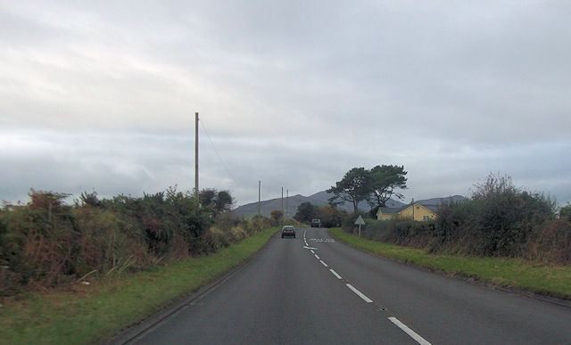
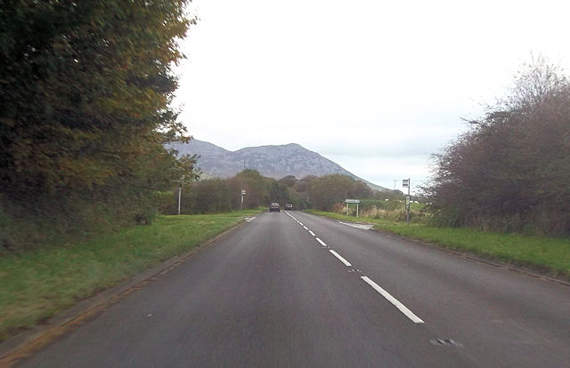
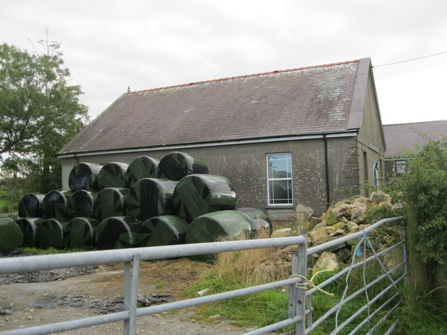
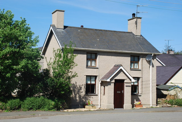
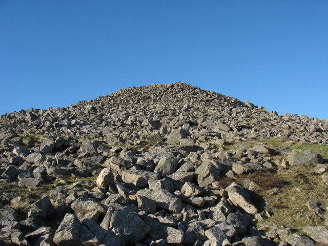
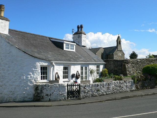
Coed Rhos-fawr Images
Images are sourced within 2km of 52.927512/-4.4175839 or Grid Reference SH3739. Thanks to Geograph Open Source API. All images are credited.


Coed Rhos-fawr is located at Grid Ref: SH3739 (Lat: 52.927512, Lng: -4.4175839)
Unitary Authority: Gwynedd
Police Authority: North Wales
What 3 Words
///briskly.lightbulb.signed. Near Pwllheli, Gwynedd
Nearby Locations
Related Wikis

Cantref Llŷn
Llŷn was an ancient Welsh cantref in north-west Wales. It was part of the kingdom of Gwynedd for much of its history until it was included in the new county...

Y Ffôr
Y Ffôr is a Welsh village located on the Llŷn Peninsula in the county of Gwynedd. == History == Settlement at Y Ffôr dates back to the Stone Age, but the...

Bryn Beryl Hospital
Bryn Beryl Hospital (Welsh: Ysbyty Bryn Beryl) is a health facility in Pwllheli, Gwynedd, Wales. It is managed by the Betsi Cadwaladr University Health...
Llannor
Llannor is a village, parish and community located on the Llŷn Peninsula (Welsh: Penrhyn Llŷn) in the Welsh county of Gwynedd. Historically in Caernarfonshire...
Carnguwch
Carnguwch is a former civil parish in the Welsh county of Gwynedd. It was abolished in 1934, and incorporated into Pistyll. The parish included 1,179...
Abererch
Aber-erch ([abɛrˈɛrχ], Welsh for "Mouth of the Erch") is a small village and former civil parish on the Llŷn Peninsula in the Welsh county of Gwynedd....

Dwyfor
Dwyfor was one of the five local government districts of Gwynedd, Wales from 1974 to 1996, covering the Llŷn peninsula. Its council was based in Pwllheli...

Afon Erch
The Afon Erch is a short river on the Llŷn peninsula, Gwynedd, Wales. It arises near the village of Llanaelhaearn, flowing south and southwest towards...
Nearby Amenities
Located within 500m of 52.927512,-4.4175839Have you been to Coed Rhos-fawr?
Leave your review of Coed Rhos-fawr below (or comments, questions and feedback).