Allt Llwynwernod
Wood, Forest in Cardiganshire
Wales
Allt Llwynwernod
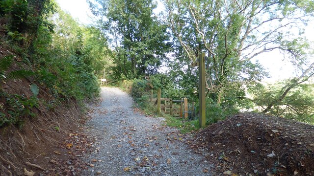
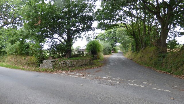
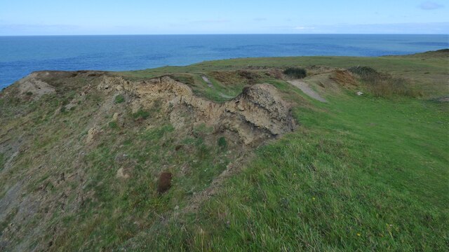
Allt Llwynwernod is a picturesque wood located in Cardiganshire, Wales. Situated in the western part of the county, it covers an area of approximately 100 acres. The wood is renowned for its natural beauty and serves as a popular tourist destination for nature enthusiasts and hikers.
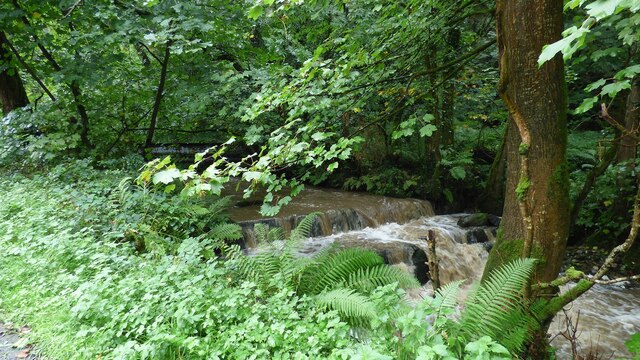
The woodland is predominantly composed of native tree species, including oak, beech, ash, and birch. These trees form a dense canopy, providing a habitat for a diverse range of flora and fauna. Wildflowers such as bluebells and primroses carpet the forest floor during the spring months, creating a stunning display of colors and scents.
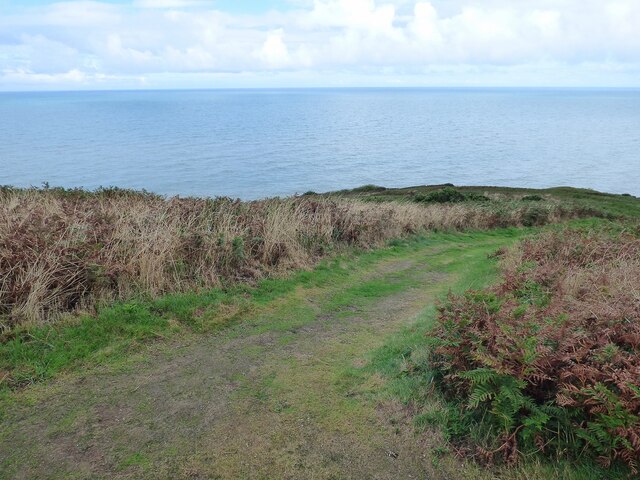
Several walking trails meander through Allt Llwynwernod, offering visitors the opportunity to explore its tranquil surroundings. These paths wind their way through the wood, leading to hidden groves and offering glimpses of breathtaking vistas over the surrounding countryside.
The wood is also home to a variety of wildlife. Red kites, buzzards, and owls can often be spotted soaring above the treetops, while smaller creatures like squirrels and rabbits scurry through the undergrowth. In addition, the wood provides a habitat for a number of rare and endangered species, including the lesser horseshoe bat.
Allt Llwynwernod is not only a haven for nature lovers but also a valuable ecological resource. Efforts are made to maintain and preserve the woodland, ensuring its long-term sustainability for both wildlife and visitors to enjoy.
If you have any feedback on the listing, please let us know in the comments section below.
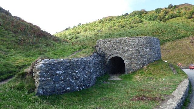
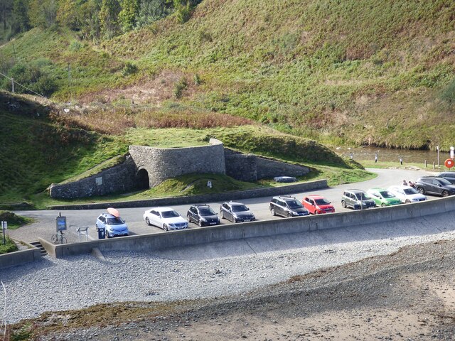
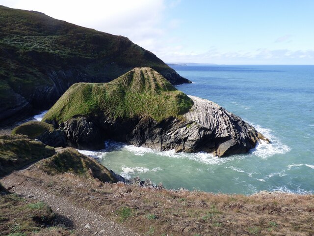
Allt Llwynwernod Images
Images are sourced within 2km of 52.196344/-4.384876 or Grid Reference SN3758. Thanks to Geograph Open Source API. All images are credited.


Allt Llwynwernod is located at Grid Ref: SN3758 (Lat: 52.196344, Lng: -4.384876)
Unitary Authority: Ceredigion
Police Authority: Dyfed Powys
What 3 Words
///deciding.breaches.title. Near Llanllwchaiarn, Ceredigion
Nearby Locations
Related Wikis

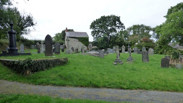
Maen-y-groes
Maen-y-groes is a hamlet in the community of Llanllwchaiarn, Ceredigion, Wales, which is 71 miles (114.3 km) from Cardiff and 187 miles (300.9 km) from...
Llandysiliogogo
Llandysiliogogo is a community in the county of Ceredigion, Wales, and includes the villages of Caerwedros, Plwmp, and Talgarreg, and the hamlets of Blaenbedw...
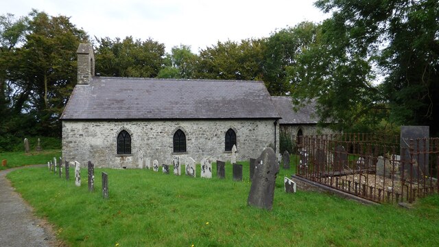
Llanllwchaiarn, Ceredigion
Llanllwchaiarn is a community in Ceredigion, Wales, surrounding New Quay and had a population of 848 at the 2011 UK census. It includes the village of...
Llanwchaiarn, Ceredigion
Llanwchaiarn is a village in the community of Llanllwchaiarn, in Ceredigion, Wales, near to New Quay. There is also a Llanwchaiarn in Newtown, Powys....
Caerwedros
Caerwedros (pronounced [kaɨrˈwɛdrɔs] ) is a small village in western Ceredigion, Wales, in the community of Llandysiliogogo. Caerwedros village has a Memorial...

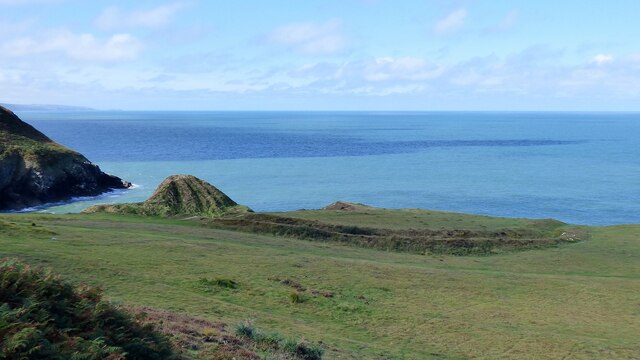
New Quay
New Quay (Welsh: Cei Newydd) is a seaside town and electoral ward in Ceredigion, Wales; it had a resident population of 1,045 at the 2021 census. Located...

New Quay Lifeboat Station
New Quay Lifeboat Station is an RNLI lifeboat station in the coastal resort of New Quay, Ceredigion, West Wales. It was established in 1864 and in 2014...
Hafodiwan
Hafodiwan is a hamlet in the community of Llandysiliogogo, Ceredigion, Wales, which is 69.6 miles (112 km) from Cardiff and 186.6 miles (300.2 km) from...
Nearby Amenities
Located within 500m of 52.196344,-4.384876Have you been to Allt Llwynwernod?
Leave your review of Allt Llwynwernod below (or comments, questions and feedback).