Allt y Gaib

Wood, Forest in Carmarthenshire

Wales

Allt y Gaib

Triangulation Pillar (S2341) Merthyr Secondary Triangulation Pillar carries Flush Bracket S2341 which marks a point 164.400m above mean sea level.
Triangulation Pillar (S2341) Credit: Adrian Dust

Allt y Gaib is a picturesque woodland area located in Carmarthenshire, Wales. Nestled in the heart of the countryside, it covers approximately 200 acres and is renowned for its natural beauty and diverse range of flora and fauna.

The woodland is primarily composed of deciduous trees, including oak, beech, and ash, which create a dense and enchanting canopy overhead. These towering trees provide a habitat for numerous bird species, such as woodpeckers, owls, and warblers, making it a popular spot for birdwatching enthusiasts.

Visitors to Allt y Gaib can explore a network of well-maintained walking trails that wind through the woodland, offering breathtaking views and a chance to immerse oneself in nature. The paths are suitable for all levels of fitness, with some gentle strolls and more challenging hikes available.

One of the main attractions of Allt y Gaib is its rich history. The woodland has been preserved for centuries and was once part of a medieval deer park. Evidence of the area's past can still be seen, with the ruins of an ancient castle and a medieval mill located within the woodland.

Allt y Gaib is also a haven for wildlife, with a variety of animals calling it home. Deer, badgers, and foxes are often spotted in the area, while the nearby river provides a habitat for otters and fish.

Overall, Allt y Gaib is a hidden gem in Carmarthenshire, offering visitors a chance to escape the hustle and bustle of everyday life and reconnect with nature in a serene and beautiful setting.

If you have any feedback on the listing, please let us know in the comments section below.

Allt y Gaib Images

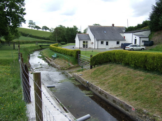
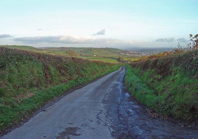
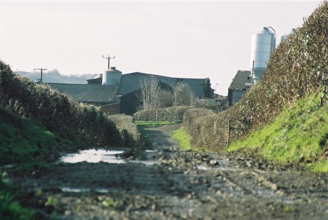
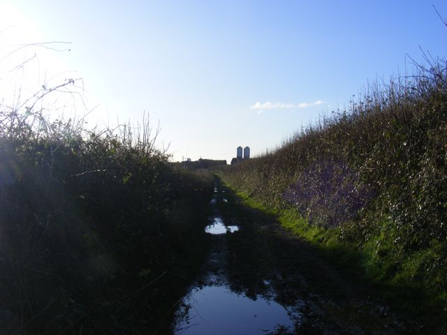
Images are sourced within 2km of 51.851294/-4.3687166 or Grid Reference SN3619. Thanks to Geograph Open Source API. All images are credited.

Triangulation Pillar (S2341) Merthyr Secondary Triangulation Pillar carries Flush Bracket S2341 which marks a point 164.400m above mean sea level.
Triangulation Pillar (S2341)
Merthyr Secondary Triangulation Pillar carries Flush Bracket S2341 which marks a point 164.400m above mean sea level.
Cwmau Isaf Farm Typical sheep and dairy-cattle farming countryside to the west of Carmarthen with gentle green hills.
Cwmau Isaf Farm
Typical sheep and dairy-cattle farming countryside to the west of Carmarthen with gentle green hills.
Melin Trebersed The stream (Nant-y-ci), now diverted, used to power the water wheel for the old corn mill on the right.
Melin Trebersed
The stream (Nant-y-ci), now diverted, used to power the water wheel for the old corn mill on the right.
Ridge-top lane: Maen-llwyd, Merthyr
Monkey Puzzles: Aer-y-bryn, Merthyr
Lane to Cwmau, Carmarthen Snowdrops have been flowering for a week or so.
Lane to Cwmau, Carmarthen
Snowdrops have been flowering for a week or so.
Trebersed Farm, From Public footpath/Farm track Looking towards Trebersed Farm from the Farm Lane / Public Footpath (Llanllwch to Carmarthen)
Trebersed Farm, From Public footpath/Farm track
Looking towards Trebersed Farm from the Farm Lane / Public Footpath (Llanllwch to Carmarthen)
Farm Lane / Public Footpath, Trebersed Farm Trebersed Farm from Farm Lane / Public Footpath
Farm Lane / Public Footpath, Trebersed Farm
Trebersed Farm from Farm Lane / Public Footpath
Llwybr Trebersed / Trebersed Path Llwybr cyhoeddus wrth ymyl Ffarm Trebersed.

A public footpath at Trebersed Farm.
Llwybr Trebersed / Trebersed Path
Llwybr cyhoeddus wrth ymyl Ffarm Trebersed. A public footpath at Trebersed Farm.
Llwybr Tawelan / Tawelan Path Llwybr cyhoeddus yn mynd tuag at Heol Pentremeurig

A public footpath heading towards Heol Pentremeurig (trans. Meurig's chief farmstead).
Llwybr Tawelan / Tawelan Path
Llwybr cyhoeddus yn mynd tuag at Heol Pentremeurig A public footpath heading towards Heol Pentremeurig (trans. Meurig's chief farmstead).
Ordnance Survey Cut Mark This OS cut mark can be found on the gatepost north side of the road. It marks a point 143.525m above mean sea level.
Ordnance Survey Cut Mark
This OS cut mark can be found on the gatepost north side of the road. It marks a point 143.525m above mean sea level.
Private Road - No turning? However maps say this is a permissible yellow road?

"Road generally less than 4m wide"
Private Road - No turning?
However maps say this is a permissible yellow road? "Road generally less than 4m wide"
Merthyr Trig Point Flush Bracket S2341
View from Merthyr Trig Point
Heol fynedfa Cwmau Bach / Cwmau Bach access road Heol fynedfa yn mynd heibio i dŷ mas Melin Trebersed, cyn felin lafur. 

An access road passing an outhouse of Melin Trebersed, a former corn mill.
Heol fynedfa Cwmau Bach / Cwmau Bach access road
Heol fynedfa yn mynd heibio i dŷ mas Melin Trebersed, cyn felin lafur. An access road passing an outhouse of Melin Trebersed, a former corn mill.
Heol fynedfa Cwmau Uchaf / Cwmau Uchaf access road Heol fynedfa i Ffarm Cwmau Uchaf.

An access road to Cwmau Uchaf Farm (trans. valleys upper farm).
Heol fynedfa Cwmau Uchaf / Cwmau Uchaf access road
Heol fynedfa i Ffarm Cwmau Uchaf. An access road to Cwmau Uchaf Farm (trans. valleys upper farm).
Heol fach wledig ger Nantyci / A minor rural road near Nantyci Heol fach wledig yn mynd i lawr y waered ger Ffarm Nantyci.

A minor rural road descending near Nantyci Farm (trans. stream of the dog).
Heol fach wledig ger Nantyci / A minor rural road near Nantyci
Heol fach wledig yn mynd i lawr y waered ger Ffarm Nantyci. A minor rural road descending near Nantyci Farm (trans. stream of the dog).
Pont dros Nant y Ci / A bridge over Nant y Ci Heol fach yn croesi pont sy'n rhychwantu Nant y Ci.

A minor road crossing a bridge which spans Nant y Ci (trans. stream of the dog).
Pont dros Nant y Ci / A bridge over Nant y Ci
Heol fach yn croesi pont sy'n rhychwantu Nant y Ci. A minor road crossing a bridge which spans Nant y Ci (trans. stream of the dog).
Show me another place!

Allt y Gaib is located at Grid Ref: SN3619 (Lat: 51.851294, Lng: -4.3687166)

Unitary Authority: Carmarthenshire

Police Authority: Dyfed Powys

What 3 Words

///downfield.booms.funny. Near Llangain, Carmarthenshire

Nearby Locations

Allt y Gaib

Related Wikis

Maesyprior

Maesyprior is a Site of Special Scientific Interest in Carmarthen & Dinefwr, Wales. A system of glacial meltwater channels preserved at this site contains...

Cors Goch National Nature Reserve (Llanllwch)

Cors Goch National Nature Reserve, a couple of miles west of Carmarthen and near the hamlet of Llanllwch, is one of the few raised bogs in West Wales....

Llanllwch

Llanllwch is a hamlet in Carmarthenshire, Wales approximately 2 miles (3.2 km) west of Carmarthen. == History == The name Llanllwch derives from a lake...

St Mary's Church, Llanllwch

St Mary's Church is an Anglican parish church in the hamlet of Llanllwch, Carmarthenshire, Wales. It was originally a chapel attached to St Peter's Church...

St David's Hospital, Carmarthen

St David's Hospital (Welsh: Ysbyty Dewi Sant) was a psychiatric hospital in Carmarthen, Wales. The main Victorian building is Grade II listed. == History... ==

Trinity University College

Trinity University College (Welsh: Coleg Prifysgol y Drindod) was a Church University College in Carmarthen, Wales. The institution was founded in 1848...

Dan-Lan-Y-Castell Quarry

Dan-Lan-Y-Castell Quarry is a Site of Special Scientific Interest in Carmarthen & Dinefwr, Wales. == References == == See also == List of Sites of Special...

Beacon Bog

Beacon Bog is a Site of Special Scientific Interest in the community of Llangynog in Carmarthenshire, Wales. == Description == Beacon Bog is a small lowland...

Nearby Amenities

Located within 500m of 51.851294,-4.3687166
Fuel
Brand: Texaco
Wheelchair: limited
Lat/Long: 51.8483203/-4.3714564
Power: pole
Lat/Long: 51.8537574/-4.3633787
Power: pole
Lat/Long: 51.8541757/-4.3639192
Power: pole
Lat/Long: 51.8532446/-4.3623528
Charging Station
Capacity: 1
Motorcar: yes
Network: Instavolt
Opening Hours: 24/7
Socket Chademo: 1
Socket Chademo Output: 125kW
Socket Type2 Combo: 1
Socket Type2 Combo Output: 125kW
Lat/Long: 51.8480537/-4.3708741
Charging Station
Capacity: 1
Motorcar: yes
Network: Instavolt
Opening Hours: 24/7
Socket Chademo: 1
Socket Chademo Output: 125kW
Socket Type2 Combo: 1
Socket Type2 Combo Output: 125kW
Lat/Long: 51.8480562/-4.3709152
The data included in this document is from www.openstreetmap.org. The data is made available under ODbL.

Have you been to Allt y Gaib?

Leave your review of Allt y Gaib below (or comments, questions and feedback).