Allt Blaen-pant

Wood, Forest in Carmarthenshire

Wales

Allt Blaen-pant

Blaen-y-Coed chapel graveyard
Blaen-y-Coed chapel graveyard Credit: Marion Phillips

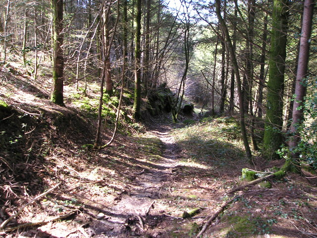
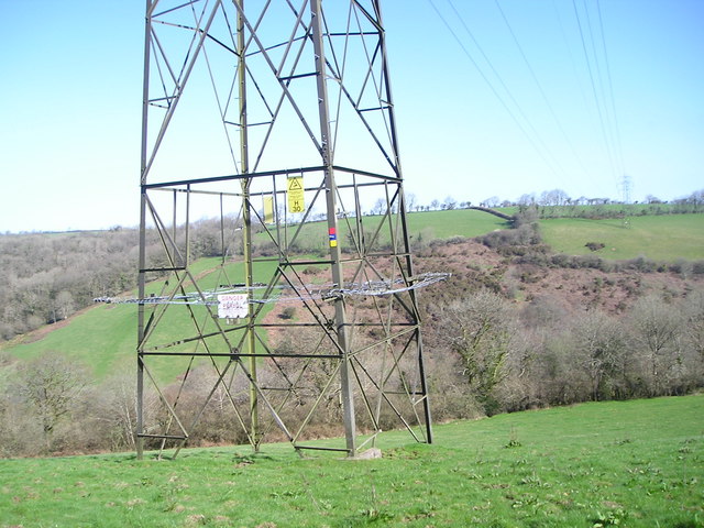
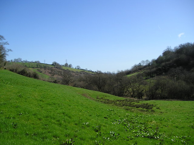
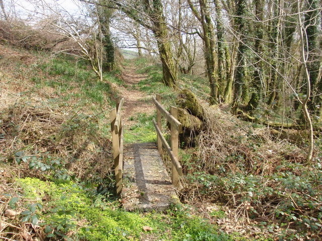
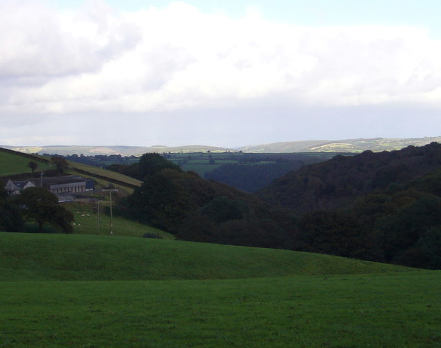
Allt Blaen-pant is a woodland area located in Carmarthenshire, Wales. It covers an expansive area and is known for its natural beauty and diverse range of flora and fauna. The woodland is situated in a hilly region, providing stunning views of the surrounding landscape.

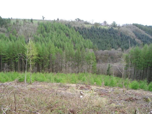
The forest is primarily composed of deciduous trees, including oak, beech, and ash. These trees create a dense canopy, allowing only dappled sunlight to filter through to the forest floor. This makes it an ideal habitat for various woodland creatures, such as deer, squirrels, and numerous bird species.

Allt Blaen-pant is a popular destination for nature enthusiasts and hikers alike. There are several well-maintained trails that wind through the forest, providing visitors with the opportunity to explore its beauty at their own pace. Along these paths, one can discover a variety of wildflowers, ferns, and mosses that thrive in the damp and shaded environment.

Additionally, the forest is home to a small river that meanders through its depths. This river enhances the peaceful atmosphere of Allt Blaen-pant and provides a refreshing spot for visitors to relax and enjoy the sounds of nature.

Overall, Allt Blaen-pant is a picturesque woodland that offers a tranquil escape from the hustle and bustle of everyday life. Its lush vegetation, diverse wildlife, and scenic trails make it a must-visit destination for nature lovers and those seeking a peaceful retreat.

If you have any feedback on the listing, please let us know in the comments section below.

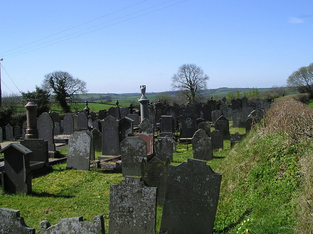
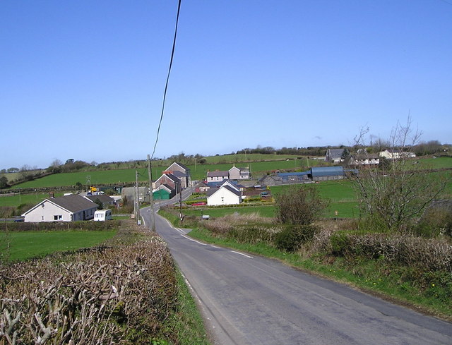
Allt Blaen-pant Images

Images are sourced within 2km of 51.905901/-4.3876841 or Grid Reference SN3525. Thanks to Geograph Open Source API. All images are credited.

Blaen-y-Coed chapel graveyard
Spring grass It's a beautiful day in early April. The grass is growing but the deciduous trees in the wood beyond are still devoid of leaves.
Spring grass
It's a beautiful day in early April. The grass is growing but the deciduous trees in the wood beyond are still devoid of leaves.
Blaen-y-Coed Village
The old milk stand Milk has been collected by bulk tanker for many years now, so there is no longer a need for farmers to leave their churns on a milk stand beside the road.
The old milk stand
Milk has been collected by bulk tanker for many years now, so there is no longer a need for farmers to leave their churns on a milk stand beside the road.
Path in the woods The April sun is streaming into the wood because the trees are not mostly yet in leaf.
Path in the woods
The April sun is streaming into the wood because the trees are not mostly yet in leaf.
Pylon view Looking out past the base of the pylon to the woods, pasture and scrubby hillside on the other side of the valley.
Pylon view
Looking out past the base of the pylon to the woods, pasture and scrubby hillside on the other side of the valley.
A pleasant little valley
Gweithdy'r gof The old smithy is on the left, then some houses built in 1932 to replace earlier cottages. Further right is what was the Blaen-y-Coed Inn and is now a chapel room. The independent chapel, built in 1807, is beyond.
Gweithdy'r gof
The old smithy is on the left, then some houses built in 1932 to replace earlier cottages. Further right is what was the Blaen-y-Coed Inn and is now a chapel room. The independent chapel, built in 1807, is beyond.
Stages in the growth of a forest New fell, recent plantings, mature coniferous and deciduous trees.
Stages in the growth of a forest
New fell, recent plantings, mature coniferous and deciduous trees.
Cwm Tawel Llwybr cyhoeddus ym mhen uchaf Cwm Tawel nid nepell o Lannewydd

Public footpath at the higher end of Cwm Tawel (trans. quiet valley) near Newchurch.
Cwm Tawel
Llwybr cyhoeddus ym mhen uchaf Cwm Tawel nid nepell o Lannewydd Public footpath at the higher end of Cwm Tawel (trans. quiet valley) near Newchurch.
Blaen-ffrwd, Eglwysnewydd Blaen-ffrwd farm is on the left. See also <a href="https://www.geograph.org.uk/photo/1185512">SN3725 : Blaen-ffrwd, Eglwysnewydd</a> viewed from about the same point.
Blaen-ffrwd, Eglwysnewydd
Blaen-ffrwd farm is on the left. See also SN3725 : Blaen-ffrwd, Eglwysnewydd viewed from about the same point.
Old Milestone off the A484, Bwlchnewydd, Cynwyl Elfed Parish South west of the A484, in parish of Cynwyl Elfed (Carmarthenshire District), Pen-rhiw-crynfryn, North of Bwlchnewydd.

Inscription reads:-
FROM
CARMARTHEN
5 MILES
TO
NEWCASTLE
14 MILES

Grade II listed by Cadw. Reference Number: 23987
<span class="nowrap"><a title="https://cadwpublic-api.azurewebsites.net/reports/listedbuilding/FullReport?lang=&id=23987" rel="nofollow ugc noopener" href="https://cadwpublic-api.azurewebsites.net/reports/listedbuilding/FullReport?lang=&id=23987">Link</a><img style="margin-left:2px;" alt="External link" title="External link - shift click to open in new window" src="https://s1.geograph.org.uk/img/external.png" width="10" height="10"/></span>

Surveyed

Milestone Society National ID: CAM_CMCA05.
Old Milestone off the A484, Bwlchnewydd, Cynwyl Elfed Parish
South west of the A484, in parish of Cynwyl Elfed (Carmarthenshire District), Pen-rhiw-crynfryn, North of Bwlchnewydd. Inscription reads:- FROM CARMARTHEN 5 MILES TO NEWCASTLE 14 MILES Grade II listed by Cadw. Reference Number: 23987 LinkExternal link Surveyed Milestone Society National ID: CAM_CMCA05.
Ordnance Survey Cut Mark This OS cut mark can be found on the outbuilding at Pen Rhiw Crynfryn. It marks a point 206.114m above mean sea level.
Ordnance Survey Cut Mark
This OS cut mark can be found on the outbuilding at Pen Rhiw Crynfryn. It marks a point 206.114m above mean sea level.
Maes y Gwenyn Gateway to farm at Maes y Gwenyn.
Maes y Gwenyn
Gateway to farm at Maes y Gwenyn.
Sign post Sign post on the Carmarthen to Cynwyl Elfed road.
Sign post
Sign post on the Carmarthen to Cynwyl Elfed road.
Cycle Track 47 Cycle track near Plas Bach.
Cycle Track 47
Cycle track near Plas Bach.
Lane to Plas Bach Road junction near Plas Bach.
Lane to Plas Bach
Road junction near Plas Bach.
Lane leading past Maesyderi
Show me another place!

Allt Blaen-pant is located at Grid Ref: SN3525 (Lat: 51.905901, Lng: -4.3876841)

Unitary Authority: Carmarthenshire

Police Authority: Dyfed Powys

What 3 Words

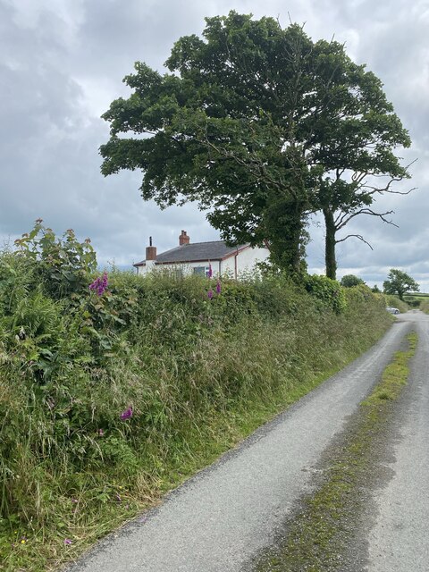
///elastic.loudness.soil. Near Abernant, Carmarthenshire

Nearby Locations

Allt Blaen-pant

Related Wikis

Blaenycoed

Blaenycoed, or Blaen-y-coed is a village situated between Carmarthen and Newcastle Emlyn, Wales, of 17 houses, a Welsh Independents chapel, a postbox and...

Cynwyl Elfed

Cynwyl Elfed (; sometimes Conwyl and formerly anglicised as Conwil Elvet or Conwil in Elvet) is a village and community in the county of Carmarthenshire...

Cynwyl Elfed transmitting station

The Cynwyl Elfed television relay station is sited on high ground to the east of the village of Cynwyl Elfed to the north of Carmarthen. It was originally...

Talog, Carmarthenshire

Talog is a small rural village in Carmarthenshire, Wales, located on the River Cywyn, about seven miles north-west of the town of Carmarthen. It is in...

Conwil railway station

Conwil was a railway station near the village of Cynwyl Elfed in Carmarthenshire, Wales, serving the hamlet and the rural locale. It was once a thriving...

Newchurch and Merthyr

Newchurch and Merthyr is a community located in Carmarthenshire, Wales including the villages of Newchurch (Welsh: Eglwysnewydd) and Merthyr. The community...

Abernant, Carmarthenshire

Abernant is a hamlet and community in Carmarthenshire, Wales. The population taken at the 2011 census was 297. == Location == Abernant is a small hamlet...

Llannewydd

Llannewydd or Newchurch is a parish in Carmarthenshire, Wales. It is 3 miles (5 km) north of Carmarthen on the banks of the Gwili. The church was rebuilt...

Nearby Amenities

Located within 500m of 51.905901,-4.3876841
Power: tower
Lat/Long: 51.9068036/-4.3835665
Power: tower
Lat/Long: 51.9034344/-4.3826009
The data included in this document is from www.openstreetmap.org. The data is made available under ODbL.

Have you been to Allt Blaen-pant?

Leave your review of Allt Blaen-pant below (or comments, questions and feedback).