Allt Martin
Wood, Forest in Cardiganshire
Wales
Allt Martin

Allt Martin is a picturesque woodland area located in Cardiganshire, Wales. Covering an area of approximately 200 acres, it is known for its dense and diverse forest. The woodland consists mainly of native tree species such as oak, beech, and birch, creating a rich and vibrant ecosystem.
The woodland is home to a variety of wildlife, including several species of birds, mammals, and insects. Birdwatchers often visit Allt Martin to catch a glimpse of rare species such as red kites, buzzards, and woodpeckers. The forest floor is teeming with small mammals like squirrels, rabbits, and voles, making it an ideal spot for nature enthusiasts.
The woodland is crisscrossed by a network of well-maintained walking trails, providing visitors with the opportunity to explore the beauty of the forest. These trails offer stunning views of the surrounding countryside and lead to hidden gems such as a secluded waterfall and ancient ruins of a medieval chapel.
Allt Martin is also known for its historical significance. The woodland has remnants of iron age settlements and evidence of early human activity, making it an important archaeological site. The area has been carefully preserved and protected, allowing visitors to experience the natural beauty and history of the region.
Overall, Allt Martin is a captivating woodland area that offers a serene and immersive experience for nature lovers and history enthusiasts alike. Its diverse flora and fauna, coupled with its scenic trails and historical significance, make it a must-visit destination in Cardiganshire.
If you have any feedback on the listing, please let us know in the comments section below.
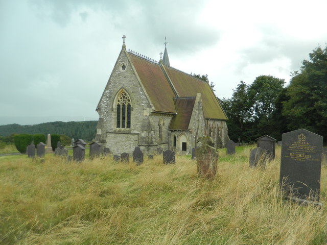
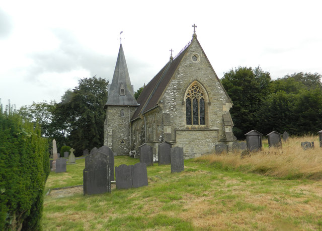
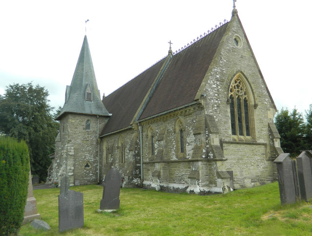
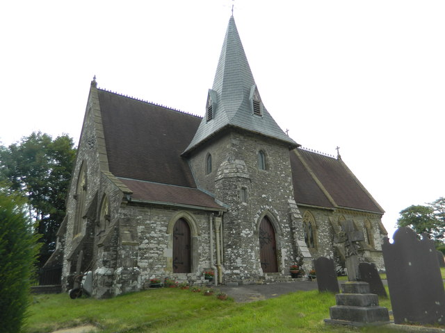
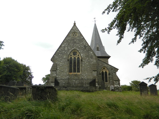
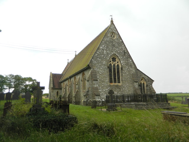
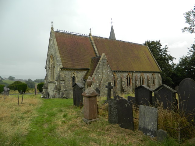
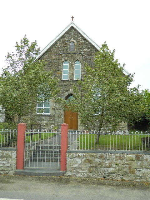
Allt Martin Images
Images are sourced within 2km of 52.070568/-4.4016727 or Grid Reference SN3544. Thanks to Geograph Open Source API. All images are credited.


Allt Martin is located at Grid Ref: SN3544 (Lat: 52.070568, Lng: -4.4016727)
Unitary Authority: Ceredigion
Police Authority: Dyfed Powys
What 3 Words
///intend.perusing.tiling. Near Newcastle Emlyn, Ceredigion
Nearby Locations
Related Wikis

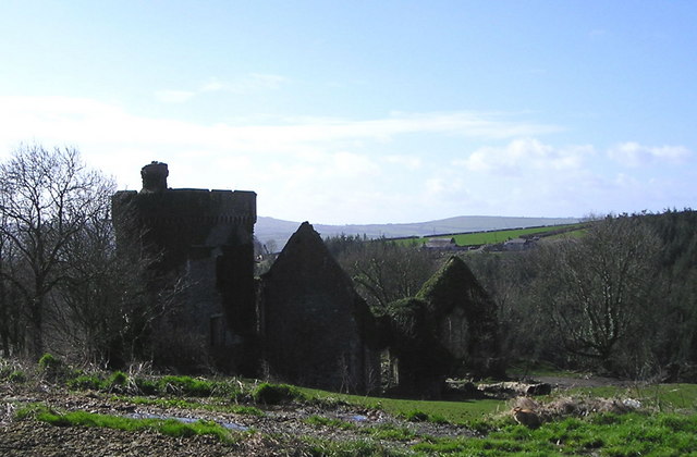
Bronwydd Castle
Bronwydd Castle (or simply Bronwydd) was a Welsh country house in Cardiganshire, owned by the Lloyd family. It is just south of Llangynllo/Llangunllo,...

Coed-y-bryn
Coed-y-bryn is a small village in the community of Troedyraur, Ceredigion, Wales. Coed-y-bryn is represented in the Senedd by Elin Jones and the Member...

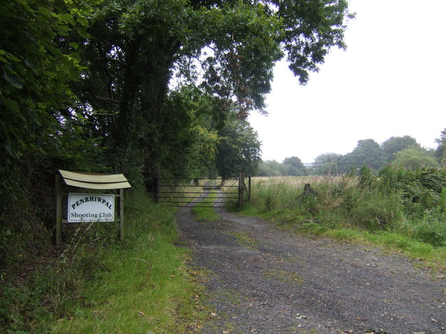
Penrhiwpal
Penrhiwpal (Welsh: Penrhywpâl) is a small village in the community of Troedyraur, Ceredigion, Wales. Penrhiwpal is represented in the Senedd by Elin...
Aberbanc
Aber-banc is a village in the Welsh county of Ceredigion. Aber-banc is situated on a sharp bend on the A475 approximately 4 miles east of Newcastle Emlyn...

Rhydlewis
Rhydlewis is a small inland village in Ceredigion, Wales. It is situated in an agricultural area with pasture land, woods and low hills. == History... ==
Croes-lan
Croes-lan is a small village in the community of Troedyraur, Ceredigion, Wales, which is 65.2 miles (104.9 km) from Cardiff and 185.1 miles (297.8 km...

Hawen
Hawen is a hamlet located 68 miles (109 km) from Cardiff and 187.6 miles (301.9 km) from London in Troedyraur, Ceredigion, Wales. Hawen is represented...
Llandyfriog transmitting station
The Llandyfriog transmitting station is a broadcasting and telecommunications facility located on high ground several kilometres east of the town of Newcastle...
Nearby Amenities
Located within 500m of 52.070568,-4.4016727Have you been to Allt Martin?
Leave your review of Allt Martin below (or comments, questions and feedback).