Allt y Ffynnon

Wood, Forest in Cardiganshire

Wales

Allt y Ffynnon

B4571 The B4571 on its approach to its junction with the B4334 at Penrhiwpal.  Note the pre-Worboys road sign on the left - for close up see <a href="https://www.geograph.org.uk/photo/2396804">SN3445 : Pre Worboys sign, Penrhiwpal</a>.
B4571 Credit: Ian Capper

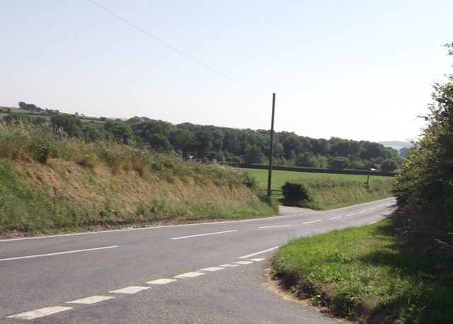
Allt y Ffynnon, located in Cardiganshire, Wales, is a vast and enchanting woodland area that covers several square miles. The name itself translates to "Wood of the Spring" in English, which is fitting considering the abundant natural beauty found within its borders.

The forest is characterized by its dense canopy of ancient oak trees, which provide shelter and a home to a diverse range of flora and fauna. The woodland floor is covered with a lush carpet of mosses, ferns, and wildflowers, creating a picturesque landscape that changes with the seasons.

Allt y Ffynnon is crisscrossed by a network of walking trails, allowing visitors to explore the beauty of the forest at their own pace. These trails meander through the woodland, passing by babbling brooks, hidden waterfalls, and ancient stone ruins, adding an air of mystery and intrigue to the landscape.

The forest is also home to a variety of wildlife, including deer, foxes, badgers, and a wide array of bird species. Nature enthusiasts and birdwatchers will find themselves captivated by the sights and sounds of the woodland inhabitants.

Allt y Ffynnon is not just a place of natural beauty, but also a site of historical and cultural significance. The forest has been a source of inspiration for artists, writers, and poets throughout the centuries, and its folklore and legends continue to captivate locals and visitors alike.

In conclusion, Allt y Ffynnon is a truly enchanting woodland area in Cardiganshire, Wales. Its ancient oaks, diverse flora and fauna, and rich history make it a must-visit destination for nature lovers and those seeking a connection to the natural world.

If you have any feedback on the listing, please let us know in the comments section below.

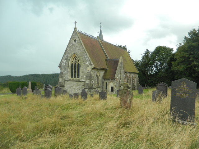
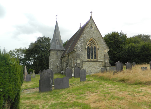
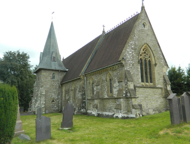
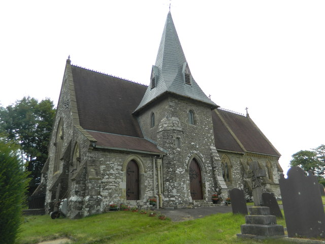
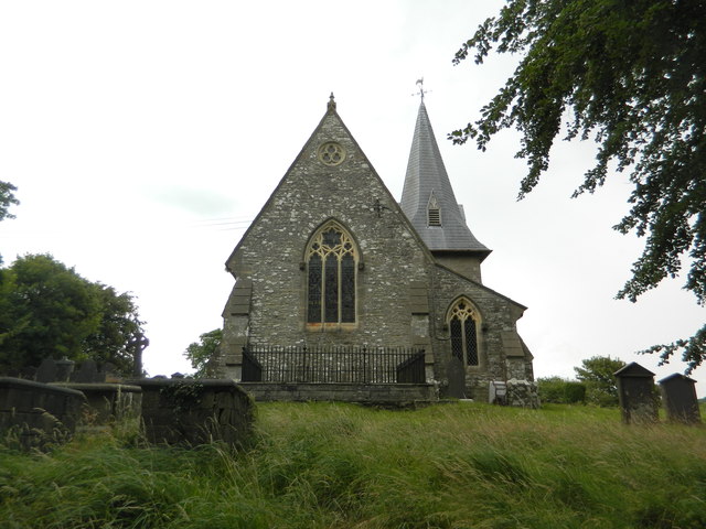
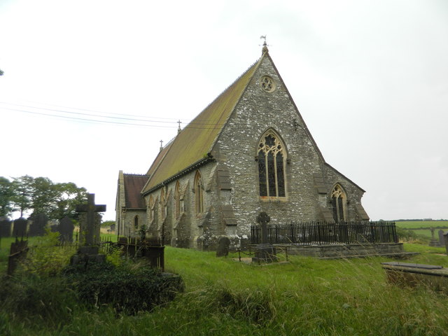
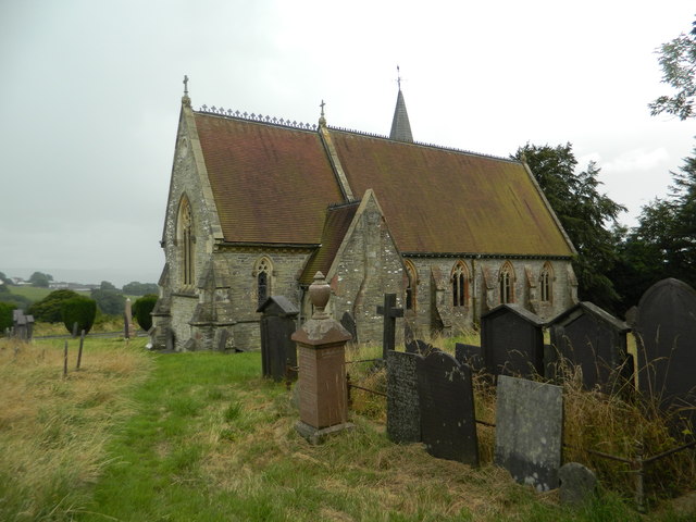
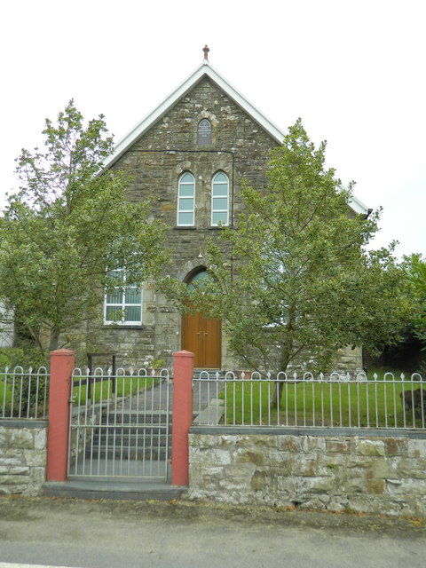
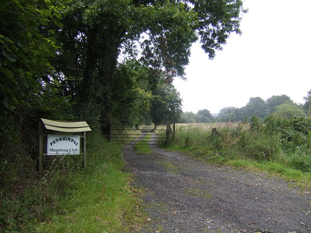
Allt y Ffynnon Images

Images are sourced within 2km of 52.071341/-4.4135633 or Grid Reference SN3444. Thanks to Geograph Open Source API. All images are credited.

B4571 The B4571 on its approach to its junction with the B4334 at Penrhiwpal.  Note the pre-Worboys road sign on the left - for close up see <a href="https://www.geograph.org.uk/photo/2396804">SN3445 : Pre Worboys sign, Penrhiwpal</a>.
B4571
The B4571 on its approach to its junction with the B4334 at Penrhiwpal. Note the pre-Worboys road sign on the left - for close up see SN3445 : Pre Worboys sign, Penrhiwpal.
Pre Worboys sign, Penrhiwpal One of four pre-Worboys signs within a couple of miles, this one still in place despite being partly broken - see also <a href="https://www.geograph.org.uk/photo/2396813">SN3445 : Pre Worboys sign, Penrhiwpal</a>, <a href="https://www.geograph.org.uk/photo/2396789">SN3747 : Pre Worboys sign, Ffostrasol</a> and <a href="https://www.geograph.org.uk/photo/2396796">SN3747 : Pre Worboys sign, Ffostrasol</a>.  For context see <a href="https://www.geograph.org.uk/photo/2396802">SN3445 : B4571</a> and <a href="https://www.geograph.org.uk/photo/2396808">SN3445 : Ruined cottage, Penrhiwpal</a>.
Pre Worboys sign, Penrhiwpal
One of four pre-Worboys signs within a couple of miles, this one still in place despite being partly broken - see also SN3445 : Pre Worboys sign, Penrhiwpal, SN3747 : Pre Worboys sign, Ffostrasol and SN3747 : Pre Worboys sign, Ffostrasol. For context see SN3445 : B4571 and SN3445 : Ruined cottage, Penrhiwpal.
Ruined cottage, Penrhiwpal On the B4571 at its junction with the B4334.  Note the pre-Worboys sign - for close up see <a href="https://www.geograph.org.uk/photo/2396813">SN3445 : Pre Worboys sign, Penrhiwpal</a>.  Also just visible in the distance, by the large tree, is another example - see <a href="https://www.geograph.org.uk/photo/2396802">SN3445 : B4571</a> and <a href="https://www.geograph.org.uk/photo/2396804">SN3445 : Pre Worboys sign, Penrhiwpal</a>.
Ruined cottage, Penrhiwpal
On the B4571 at its junction with the B4334. Note the pre-Worboys sign - for close up see SN3445 : Pre Worboys sign, Penrhiwpal. Also just visible in the distance, by the large tree, is another example - see SN3445 : B4571 and SN3445 : Pre Worboys sign, Penrhiwpal.
Pre Worboys sign, Penrhiwpal One of four pre-Worboys signs within a couple of miles - see also <a href="https://www.geograph.org.uk/photo/2396804">SN3445 : Pre Worboys sign, Penrhiwpal</a>, <a href="https://www.geograph.org.uk/photo/2396789">SN3747 : Pre Worboys sign, Ffostrasol</a> and <a href="https://www.geograph.org.uk/photo/2396796">SN3747 : Pre Worboys sign, Ffostrasol</a>.  For context see <a href="https://www.geograph.org.uk/photo/2396808">SN3445 : Ruined cottage, Penrhiwpal</a>.
Pre Worboys sign, Penrhiwpal
Road junction at Blaen-Cil-Llech
Church of St Cynllo, Llangynllo
Capel Coed-y-bryn
Capel Coed-y-bryn
Derelict cottage, Penrhiwpal
Churn Stand There is an Ordnance Survey rivet on the step of the stand. <a title="https://www.geograph.org.uk/photo/7446224" href="https://www.geograph.org.uk/photo/7446224">Link</a>
Churn Stand
There is an Ordnance Survey rivet on the step of the stand. Link
Ordnance Survey Rivet This OS rivet can be found on the step of the churn stand. It marks a point 202.835m above mean sea level. <a title="https://www.geograph.org.uk/photo/7446223" href="https://www.geograph.org.uk/photo/7446223">Link</a>
Ordnance Survey Rivet
This OS rivet can be found on the step of the churn stand. It marks a point 202.835m above mean sea level. Link
Hay field near Pen-lan
Penrhiwpal Shooting Club From the map, this rifle club would seem to make use of an abandoned quarry.
Penrhiwpal Shooting Club
From the map, this rifle club would seem to make use of an abandoned quarry.
Show me another place!

Allt y Ffynnon is located at Grid Ref: SN3444 (Lat: 52.071341, Lng: -4.4135633)

Unitary Authority: Ceredigion

Police Authority: Dyfed Powys

What 3 Words

///huddle.sized.gadgets. Near Newcastle Emlyn, Ceredigion

Related Wikis

Bronwydd Castle

Bronwydd Castle (or simply Bronwydd) was a Welsh country house in Cardiganshire, owned by the Lloyd family. It is just south of Llangynllo/Llangunllo,...

Coed-y-bryn

Coed-y-bryn is a small village in the community of Troedyraur, Ceredigion, Wales. Coed-y-bryn is represented in the Senedd by Elin Jones and the Member...

Penrhiwpal

Penrhiwpal (Welsh: Penrhywpâl) is a small village in the community of Troedyraur, Ceredigion, Wales. Penrhiwpal is represented in the Senedd by Elin...

Rhydlewis

Rhydlewis is a small inland village in Ceredigion, Wales. It is situated in an agricultural area with pasture land, woods and low hills. == History... ==

Brongest

Brongest is a small village in the community of Troedyraur, Ceredigion, Wales, which is 68.4 miles (110.1 km) from Cardiff and 188.9 miles (303.9 km)...

Aberbanc

Aber-banc is a village in the Welsh county of Ceredigion. Aber-banc is situated on a sharp bend on the A475 approximately 4 miles east of Newcastle Emlyn...

Hawen

Hawen is a hamlet located 68 miles (109 km) from Cardiff and 187.6 miles (301.9 km) from London in Troedyraur, Ceredigion, Wales. Hawen is represented...

Llandyfriog transmitting station

The Llandyfriog transmitting station is a broadcasting and telecommunications facility located on high ground several kilometres east of the town of Newcastle...

Nearby Amenities

Located within 500m of 52.071341,-4.4135633
Place: farm
Lat/Long: 52.0699895/-4.4067161
The data included in this document is from www.openstreetmap.org. The data is made available under ODbL.

Have you been to Allt y Ffynnon?

Leave your review of Allt y Ffynnon below (or comments, questions and feedback).