Allt y Gelli

Wood, Forest in Carmarthenshire

Wales

Allt y Gelli

Burial Chamber Twlc y filiast. Appears to translate as 'Sty of the greyhound bitch'.
Burial Chamber Credit: Dara Jasumani

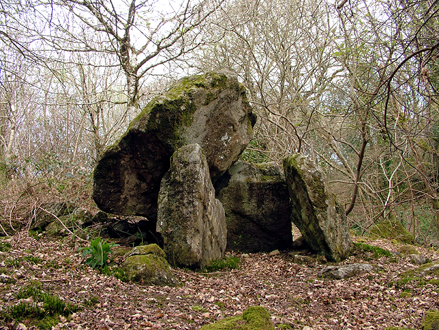
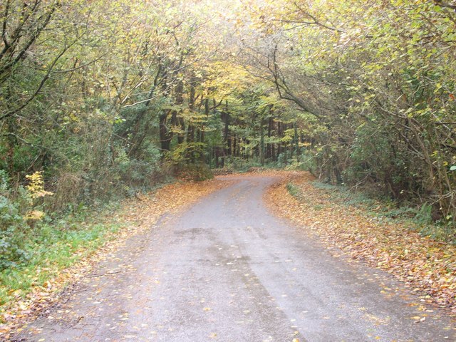
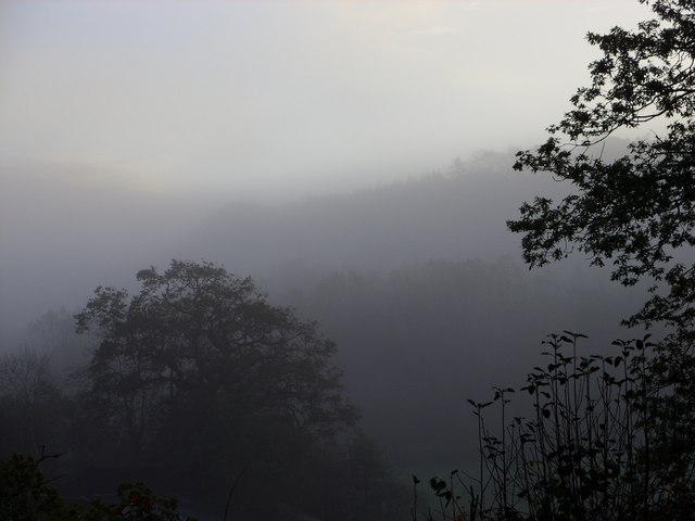
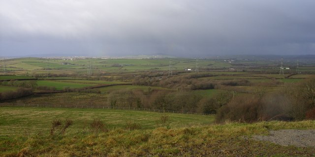
Allt y Gelli is a picturesque woodland located in the county of Carmarthenshire, Wales. Spanning an area of approximately 100 hectares, it is renowned for its natural beauty and diverse range of flora and fauna. The woodland is situated on the slopes of a hill, offering stunning panoramic views of the surrounding landscape.

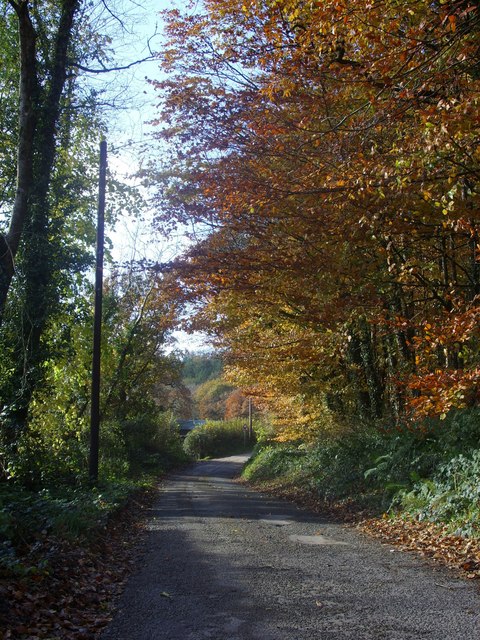
The forest is predominantly composed of native broadleaf trees, including oak, beech, ash, and birch. These trees provide a dense canopy, creating a tranquil and shaded atmosphere within the woodland. Numerous walking trails wind their way through the forest, offering visitors the opportunity to explore its hidden treasures.

Allt y Gelli is home to a rich variety of wildlife. Bird enthusiasts will be pleased to spot species such as the great spotted woodpecker, tawny owl, and buzzard. The forest floor is also teeming with life, with a myriad of wildflowers, ferns, and fungi. Small mammals like squirrels, badgers, and foxes can also be found within the woodland.

The site is well-maintained and managed by local authorities, ensuring the preservation of its natural beauty and biodiversity. It is a popular destination for nature lovers, hikers, and families, who can enjoy picnicking, wildlife spotting, and leisurely walks amidst the tranquil surroundings.

Overall, Allt y Gelli is a haven for those seeking solace in nature. Its idyllic setting, diverse ecosystem, and well-preserved environment make it a must-visit destination for anyone in Carmarthenshire.

If you have any feedback on the listing, please let us know in the comments section below.

Allt y Gelli Images

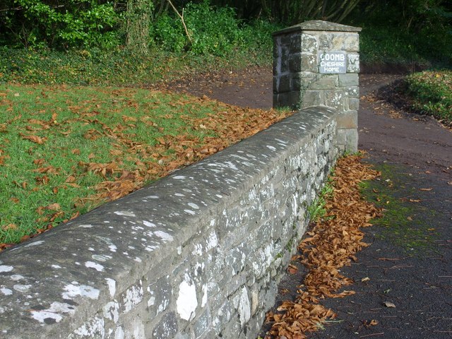
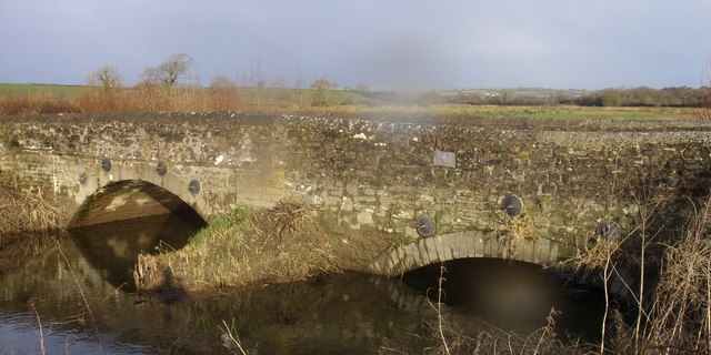
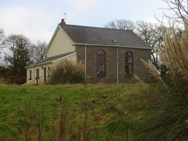
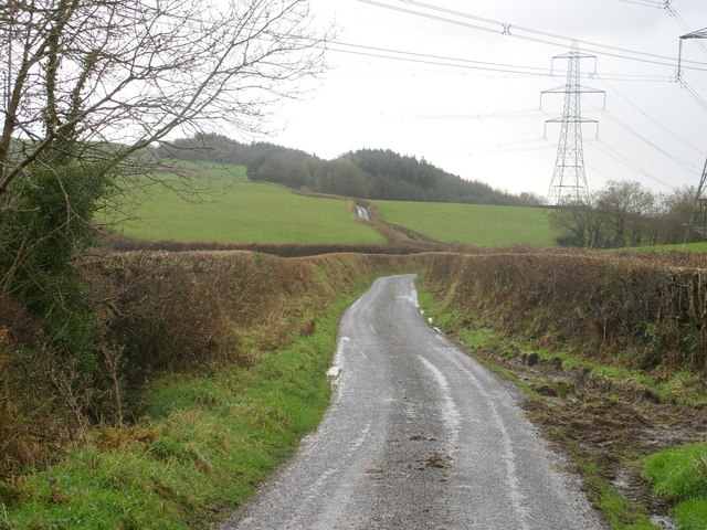
Images are sourced within 2km of 51.803903/-4.4290115 or Grid Reference SN3214. Thanks to Geograph Open Source API. All images are credited.

Burial Chamber Twlc y filiast. Appears to translate as 'Sty of the greyhound bitch'.
Burial Chamber
Twlc y filiast. Appears to translate as 'Sty of the greyhound bitch'.
Hendre, Llansteffan Here the road goes through a farmyard, hence the home-made speed limit sign.
Hendre, Llansteffan
Here the road goes through a farmyard, hence the home-made speed limit sign.
Meini Llwydion Meini Llwydion standing stones
Meini Llwydion
Meini Llwydion standing stones
Tal-y-bont farm taken near Pont-ddu
Lane between Llangynog and Llanybri The road between Llangynog and Llanybri near the former Coombe Cheshire Home.
Lane between Llangynog and Llanybri
The road between Llangynog and Llanybri near the former Coombe Cheshire Home.
Morning mist over Allt y Ricet
Tal-y-bont farm viewed from Pont-ddu
A view over the Taf estuary
The Wern Inn, Llangynog The inn as it was in 2008 before being gutted by fire in 2010, see:<a href="https://www.geograph.org.uk/photo/3405836">SN3315 : A sad sight...</a>
The Wern Inn, Llangynog
The inn as it was in 2008 before being gutted by fire in 2010, see:SN3315 : A sad sight...
The War Memorial and village hall, Llangynog See <a title="https://www.geograph.org.uk/photo/1201705" href="https://www.geograph.org.uk/photo/1201705">Link</a> for names commemorated on the memorial.
The War Memorial and village hall, Llangynog
See Link for names commemorated on the memorial.
The church of St.Cynog, Llangynog <span class="nowrap"><a title="http://www.genuki.org.uk/big/wal/CMN/Llangynog/" rel="nofollow ugc noopener" href="http://www.genuki.org.uk/big/wal/CMN/Llangynog/">Link</a><img style="margin-left:2px;" alt="External link" title="External link - shift click to open in new window" src="https://s1.geograph.org.uk/img/external.png" width="10" height="10"/></span>
The church of St.Cynog, Llangynog
Coomb Cheshire Home Cwm (Coomb) <span class="nowrap"><a title="http://carmarthenshirehistorian.org/cgi-bin/twiki/view/Historian/CwmCoombACarmarthenshireHouseAndItsFamilies" rel="nofollow ugc noopener" href="http://carmarthenshirehistorian.org/cgi-bin/twiki/view/Historian/CwmCoombACarmarthenshireHouseAndItsFamilies">Link</a><img style="margin-left:2px;" alt="External link" title="External link - shift click to open in new window" src="https://s1.geograph.org.uk/img/external.png" width="10" height="10"/></span> , between Llangynog and Llanybri. At the time that this photo was taken it was a Leonard Cheshire residential care home <span class="nowrap"><a title="http://www.lcdisability.org/" rel="nofollow ugc noopener" href="http://www.lcdisability.org/">Link</a><img style="margin-left:2px;" alt="External link" title="External link - shift click to open in new window" src="https://s1.geograph.org.uk/img/external.png" width="10" height="10"/></span> . It is soon to be re-developed for residential flats and housing now that the care home has re-located to new purpose built facilities in Carmarthen.
Coomb Cheshire Home
Cwm (Coomb) LinkExternal link , between Llangynog and Llanybri. At the time that this photo was taken it was a Leonard Cheshire residential care home LinkExternal link . It is soon to be re-developed for residential flats and housing now that the care home has re-located to new purpose built facilities in Carmarthen.
Stone Wall Stone wall and sign at the eastern entrance to Coomb Cheshire Home.
Stone Wall
Stone wall and sign at the eastern entrance to Coomb Cheshire Home.
Pont -ddu Pont-ddu, which translates to 'Black Bridge',crosses over the Afon Cywyn just before it joins the Taf estuary.
Pont -ddu
Pont-ddu, which translates to 'Black Bridge',crosses over the Afon Cywyn just before it joins the Taf estuary.
Capel Cywyn A former chapel Capel Cywyn is now a private house.
Capel Cywyn
A former chapel Capel Cywyn is now a private house.
Lane and Pylons Lane heading south towards Ally y Gelli under the National Grid pylons that traverse the countryside.
Lane and Pylons
Lane heading south towards Ally y Gelli under the National Grid pylons that traverse the countryside.
Countryside A view across the Carmarthenshire countryside towards St Clears with rain on the distant hills.
Countryside
A view across the Carmarthenshire countryside towards St Clears with rain on the distant hills.
Lane towards Coomb Mill Lane towards Coomb Mill (farm) with Coed Hendre (Hendre Woods) just visible in the distance.
Lane towards Coomb Mill
Lane towards Coomb Mill (farm) with Coed Hendre (Hendre Woods) just visible in the distance.
Show me another place!

Allt y Gelli is located at Grid Ref: SN3214 (Lat: 51.803903, Lng: -4.4290115)

Unitary Authority: Carmarthenshire

Police Authority: Dyfed Powys

What 3 Words

///cricket.requiring.pound. Near Llangynog, Carmarthenshire

Nearby Locations

Castell Cogan Allt y Gelli

Related Wikis

Coed Cochion Quarry

Coed Cochion Quarry is a Site of Special Scientific Interest (SSSI) in Carmarthenshire, Wales, in which the geology of the site has preserved rare Precambrian...

River Cywyn

The River Cywyn (Welsh: Afon Cywyn) is a river that flows through Carmarthenshire, south Wales. It rises some seven miles west-north-west of Carmarthen...

Llangynog, Carmarthenshire

Llangynog is a village and community located in Carmarthenshire, Wales, the main settlement of which was once called ‘Ebenezer’village. It is bordered...

Yr Hen Gapel, Llanybri

Yr Hen Gapel (Welsh for The Old Chapel) is a now ruined religious building and scheduled ancient monument in the village of Llanybri, Carmarthenshire,...

Nearby Amenities

Located within 500m of 51.803903,-4.4290115
Power: tower
Lat/Long: 51.804475/-4.4327206
Power: tower
Lat/Long: 51.8065636/-4.4261362
Power: tower
Lat/Long: 51.8070544/-4.4282041
Power: tower
Lat/Long: 51.8055309/-4.429423
Power: tower
Lat/Long: 51.8055819/-4.4328002
Power: pole
Lat/Long: 51.8078088/-4.4306418
Power: pole
Lat/Long: 51.8073378/-4.4329378
The data included in this document is from www.openstreetmap.org. The data is made available under ODbL.

Have you been to Allt y Gelli?

Leave your review of Allt y Gelli below (or comments, questions and feedback).