Allt Pen-bryn-Caradog

Wood, Forest in Carmarthenshire

Wales

Allt Pen-bryn-Caradog

Ordnance Survey Cut Mark This OS cut mark can be found on the wall SW side of the road. It marks a point 81.697m above mean sea level.
Ordnance Survey Cut Mark Credit: Adrian Dust

Allt Pen-bryn-Caradog is a picturesque wood located in the county of Carmarthenshire, Wales. The wood is situated on the slopes of a hill known as Pen-bryn-Caradog, which offers breathtaking views of the surrounding landscape.

Covering an area of approximately 50 hectares, Allt Pen-bryn-Caradog is characterized by its rich biodiversity and dense forest cover. The wood is predominantly made up of native broadleaf trees, such as oak, beech, and ash, which provide a habitat for a wide range of plant and animal species.

Visitors to Allt Pen-bryn-Caradog can explore the wood through a network of well-maintained footpaths. The paths wind their way through the trees, offering opportunities to observe the diverse wildlife that calls the wood home. Birdwatchers may spot species such as woodpeckers, thrushes, and owls, while lucky visitors might even catch a glimpse of elusive mammals like badgers and foxes.

The wood is a popular destination for nature enthusiasts and offers a peaceful retreat from the hustle and bustle of daily life. Picnic areas and benches are scattered throughout the wood, allowing visitors to relax and enjoy the tranquil surroundings.

Allt Pen-bryn-Caradog is not only a natural haven but also holds historical significance. The wood is believed to have been used as a hiding place for local rebels during the Welsh uprising against English rule in the 15th century.

Overall, Allt Pen-bryn-Caradog is a beautiful and diverse woodland that offers visitors a chance to connect with nature and experience the rich history of the area.

If you have any feedback on the listing, please let us know in the comments section below.

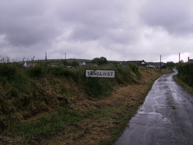
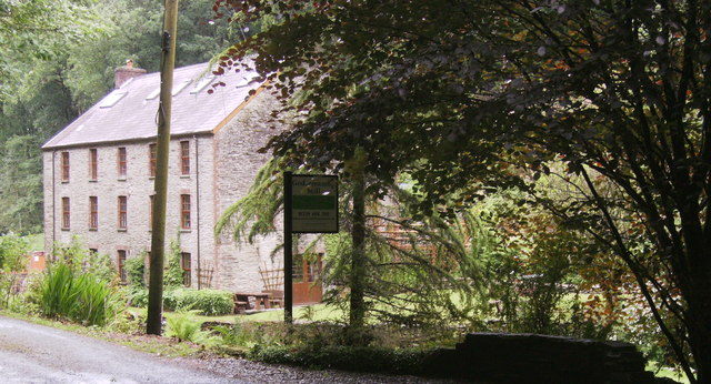
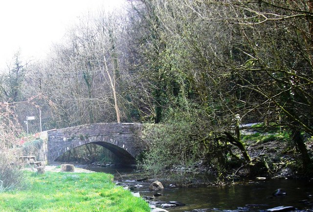
Allt Pen-bryn-Caradog Images

Images are sourced within 2km of 51.987324/-4.4689914 or Grid Reference SN3034. Thanks to Geograph Open Source API. All images are credited.

Ordnance Survey Cut Mark This OS cut mark can be found on the wall SW side of the road. It marks a point 81.697m above mean sea level.
Ordnance Survey Cut Mark
This OS cut mark can be found on the wall SW side of the road. It marks a point 81.697m above mean sea level.
Ordnance Survey Cut Mark This OS cut mark can be found on the SW parapet of the bridge. It marks a point 94.656m above mean sea level.
Ordnance Survey Cut Mark
This OS cut mark can be found on the SW parapet of the bridge. It marks a point 94.656m above mean sea level.
Crug-y-Gorllwyn weather radar station Looking like an object out of "The Prisoner" this tower can be seen from a great distance, especially when the sun reflects of the sphere. More information in photo <a href="https://www.geograph.org.uk/photo/3007624">SN3234 : Information board</a>
Crug-y-Gorllwyn weather radar station
Looking like an object out of "The Prisoner" this tower can be seen from a great distance, especially when the sun reflects of the sphere. More information in photo SN3234 : Information board
Information board All the information one could ask for!
Information board
All the information one could ask for!
Welsh Water sign Faded sign of Welsh Water Gorllwyn Service Reservoir. On the same site as the radar station.
Welsh Water sign
Faded sign of Welsh Water Gorllwyn Service Reservoir. On the same site as the radar station.
Crug-y-Gorllwyn weather radar station Concrete drive to the enclosure, Radar station on left, water reservoir on right.
Crug-y-Gorllwyn weather radar station
Concrete drive to the enclosure, Radar station on left, water reservoir on right.
Flyon or Fly On? Both house signs say "Flyon" map says "Fly On". Going down hill into Tanglwst.
Flyon or Fly On?
Both house signs say "Flyon" map says "Fly On". Going down hill into Tanglwst.
Tanglwst  and salt/grit box Exposed area, so in winter it could be difficult to get out of this village.
Tanglwst and salt/grit box
Exposed area, so in winter it could be difficult to get out of this village.
Tanglwst  looking up hill Tanglwst is a cluster of houses on the road junction to the left.
Tanglwst looking up hill
Tanglwst is a cluster of houses on the road junction to the left.
College, Tanglwst This sign does state that this is a farm, but is it an educational farm?
College, Tanglwst
This sign does state that this is a farm, but is it an educational farm?
Ordnance Survey Cut Mark This OS cut mark can be found on the wall south side of the road. It marks a point 173.782m above mean sea level.
Ordnance Survey Cut Mark
This OS cut mark can be found on the wall south side of the road. It marks a point 173.782m above mean sea level.
Ordnance Survey Cut Mark This OS cut mark can be found on the roadside building at Gelynen. It marks a point 160.959m above mean sea level.
Ordnance Survey Cut Mark
This OS cut mark can be found on the roadside building at Gelynen. It marks a point 160.959m above mean sea level.
Ordnance Survey Cut Mark This OS cut mark can be found on the stone NE side of the road. It marks a point 191.550m above mean sea level.
Ordnance Survey Cut Mark
This OS cut mark can be found on the stone NE side of the road. It marks a point 191.550m above mean sea level.
Ordnance Survey Cut Mark This OS cut mark can be found on the house on the SE side of the road. It marks a point 281.449m above mean sea level.
Ordnance Survey Cut Mark
This OS cut mark can be found on the house on the SE side of the road. It marks a point 281.449m above mean sea level.
Ordnance Survey Cut Mark This OS cut mark can be found on the building north side of the road at Maesyrhafod. It marks a point 139.574m above mean sea level.
Ordnance Survey Cut Mark
This OS cut mark can be found on the building north side of the road at Maesyrhafod. It marks a point 139.574m above mean sea level.
Ordnance Survey Cut Mark This OS cut mark can be found on the gatepost south side of the road. It marks a point 179.924m above mean sea level.
Ordnance Survey Cut Mark
This OS cut mark can be found on the gatepost south side of the road. It marks a point 179.924m above mean sea level.
Godremamog Mill Self catering holidays in a genuine mill with a water wheel!
Godremamog Mill
Self catering holidays in a genuine mill with a water wheel!
Godremamog Mill Advertising sign for the Mill, on side of road.
Godremamog Mill
Advertising sign for the Mill, on side of road.
Show me another place!

Allt Pen-bryn-Caradog is located at Grid Ref: SN3034 (Lat: 51.987324, Lng: -4.4689914)

Unitary Authority: Carmarthenshire

Police Authority: Dyfed Powys

What 3 Words

///mugs.unfocused.topical. Near Trelech, Carmarthenshire

Related Wikis

Cilrhedyn

Cilrhedyn is a hamlet and parish in the counties of Carmarthenshire and Pembrokeshire, Wales, in the hill country to the south of the Teifi valley. The...

Cwmcych

Cwmcych, Cwm Cych or Glyn Cuch (Welsh for 'Valley of the river Cych') is a small village in the upper Cych valley straddling the border between Carmarthenshire...

Pont Cych

Pont Cych is a single-arch, Grade II-listed bridge over Afon Cych at Cwmcych in the Cych Valley, bordering Carmarthenshire and Pembrokeshire, Wales....

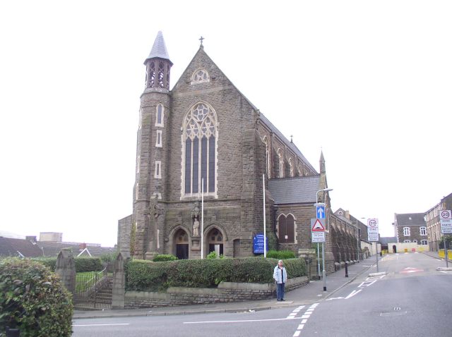
Roman Catholic Diocese of Menevia

The Diocese of Menevia (Latin: Dioecesis Menevensis) is a Latin Church diocese of the Catholic Church in Wales. It is one of two suffragan dioceses in...

Nearby Amenities

Located within 500m of 51.987324,-4.4689914
Place: farm
Lat/Long: 51.9904363/-4.4732674
The data included in this document is from www.openstreetmap.org. The data is made available under ODbL.

Have you been to Allt Pen-bryn-Caradog?

Leave your review of Allt Pen-bryn-Caradog below (or comments, questions and feedback).