Allt Cil-waunydd-fawr

Wood, Forest in Carmarthenshire

Wales

Allt Cil-waunydd-fawr

Ordnance Survey Cut Mark This OS cut mark can be found on the stone wall SE side of the road. It marks a point 82.875m above mean sea level.
Ordnance Survey Cut Mark Credit: Adrian Dust

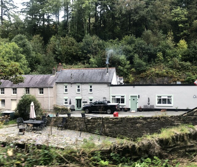
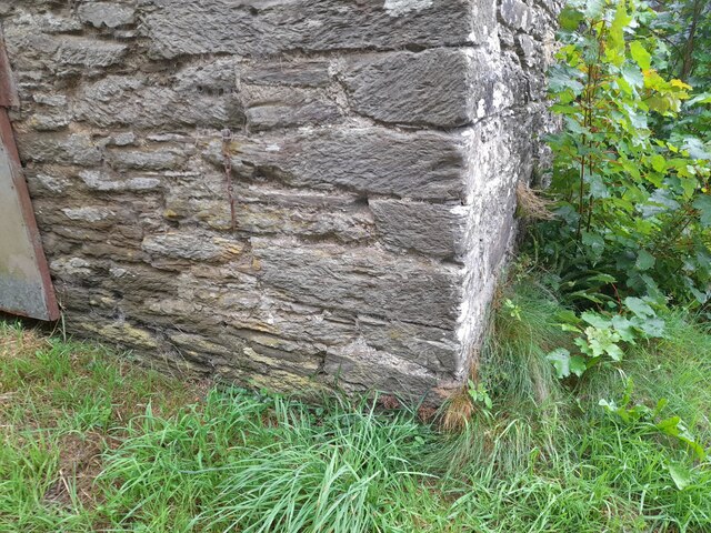
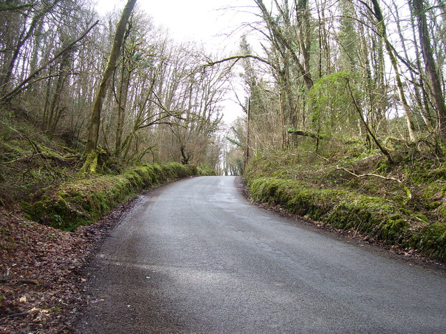
Allt Cil-waunydd-fawr is a picturesque woodland located in Carmarthenshire, Wales. Situated on the edge of the Brecon Beacons National Park, this forested area covers an approximate area of 200 acres. The name "Allt Cil-waunydd-fawr" translates to "Wood, Forest" in English, reflecting the abundant and diverse range of trees and vegetation found within this natural haven.

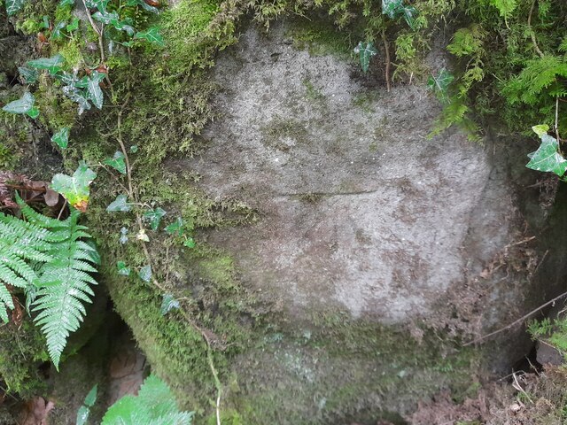
The woodland is characterized by its enchanting beauty, with a variety of tree species, including oak, beech, and birch, dominating the landscape. The forest floor is covered in a lush carpet of ferns and mosses, creating a tranquil and serene atmosphere. The dense vegetation provides an ideal habitat for a wide range of wildlife, including birds, mammals, and insects.

Allt Cil-waunydd-fawr offers numerous walking trails, allowing visitors to explore the forest and immerse themselves in its natural wonders. These pathways wind through the woodland, taking visitors on a journey of discovery and providing breathtaking views of the surrounding countryside.

The forest has been managed sustainably, with efforts made to preserve its unique ecosystem. Local conservation initiatives have been implemented to protect the flora and fauna, ensuring that future generations can continue to enjoy the beauty and tranquility of Allt Cil-waunydd-fawr.

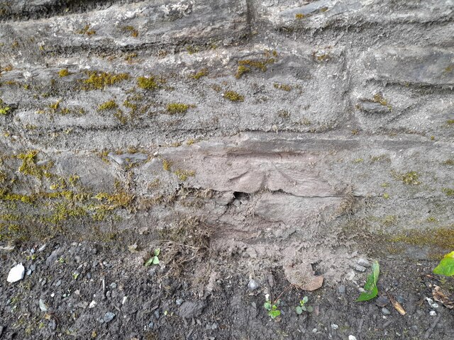
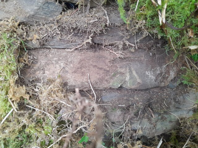
In addition to its natural beauty, Allt Cil-waunydd-fawr also holds historical significance. Ruins of an ancient hillfort can be found within the woodland, providing a glimpse into the area's rich past and offering a fascinating insight into the lives of its early inhabitants.

Allt Cil-waunydd-fawr is a true gem of Carmarthenshire, offering a haven of peace and tranquility for nature enthusiasts and history lovers alike.

If you have any feedback on the listing, please let us know in the comments section below.

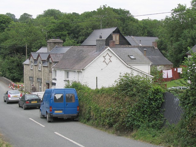
Allt Cil-waunydd-fawr Images

Images are sourced within 2km of 51.990684/-4.4892488 or Grid Reference SN2935. Thanks to Geograph Open Source API. All images are credited.

Ordnance Survey Cut Mark This OS cut mark can be found on the stone wall SE side of the road. It marks a point 82.875m above mean sea level.
Ordnance Survey Cut Mark
This OS cut mark can be found on the stone wall SE side of the road. It marks a point 82.875m above mean sea level.
Ordnance Survey Cut Mark This OS cut mark can be found on the east parapet of Wedwst Bridge. It marks a point 62.082m above mean sea level.
Ordnance Survey Cut Mark
This OS cut mark can be found on the east parapet of Wedwst Bridge. It marks a point 62.082m above mean sea level.
Ordnance Survey Cut Mark This OS cut mark can be found on the wall SW side of the road. It marks a point 81.697m above mean sea level.
Ordnance Survey Cut Mark
This OS cut mark can be found on the wall SW side of the road. It marks a point 81.697m above mean sea level.
Ordnance Survey Cut Mark This OS cut mark can be found on the SW parapet of the bridge. It marks a point 94.656m above mean sea level.
Ordnance Survey Cut Mark
This OS cut mark can be found on the SW parapet of the bridge. It marks a point 94.656m above mean sea level.
Fox & Hounds, Cwm Cych Former public house, now a private house
Fox & Hounds, Cwm Cych
Former public house, now a private house
Ordnance Survey Cut Mark This OS cut mark can be found on the wall south side of the road. It marks a point 173.782m above mean sea level.
Ordnance Survey Cut Mark
This OS cut mark can be found on the wall south side of the road. It marks a point 173.782m above mean sea level.
Ordnance Survey Cut Mark This OS cut mark can be found on the roadside building at Gelynen. It marks a point 160.959m above mean sea level.
Ordnance Survey Cut Mark
This OS cut mark can be found on the roadside building at Gelynen. It marks a point 160.959m above mean sea level.
Ordnance Survey Cut Mark This OS cut mark can be found on the stone NE side of the road. It marks a point 191.550m above mean sea level.
Ordnance Survey Cut Mark
This OS cut mark can be found on the stone NE side of the road. It marks a point 191.550m above mean sea level.
Ordnance Survey Cut Mark This OS cut mark can be found on the gatepost south side of the road. It marks a point 179.924m above mean sea level.
Ordnance Survey Cut Mark
This OS cut mark can be found on the gatepost south side of the road. It marks a point 179.924m above mean sea level.
Godremamog Mill Self catering holidays in a genuine mill with a water wheel!
Godremamog Mill
Self catering holidays in a genuine mill with a water wheel!
Godremamog Mill Advertising sign for the Mill, on side of road.
Godremamog Mill
Advertising sign for the Mill, on side of road.
Mill race Well maintained mill race, and the waters are flowing well.
Mill race
Well maintained mill race, and the waters are flowing well.
Mill race A little further down stream from <a href="https://www.geograph.org.uk/photo/3015905">SN2935 : Mill race</a> the race is contained by a stone wall, the Afon Barddu is about ten feet below the race at this point, flowing towards Godremamog Mill.
Mill race
A little further down stream from SN2935 : Mill race the race is contained by a stone wall, the Afon Barddu is about ten feet below the race at this point, flowing towards Godremamog Mill.
Bridge over Afon To the right is the junction of Rhiwlas <a href="https://www.geograph.org.uk/photo/970332">SN2934 : Rhiw-las, Cwmorgan</a>  and Cwmorgan to the left.
Bridge over Afon
To the right is the junction of Rhiwlas SN2934 : Rhiw-las, Cwmorgan and Cwmorgan to the left.
Bridge over Afon Another old nice bridge, and a junction beyond, the road follows the Afon Barddu to the right, after the bridge.
Bridge over Afon
Another old nice bridge, and a junction beyond, the road follows the Afon Barddu to the right, after the bridge.
Road up from Pont Cych
Road down from Pont Cych
Small waterfall down to Afon Cych
Show me another place!

Allt Cil-waunydd-fawr is located at Grid Ref: SN2935 (Lat: 51.990684, Lng: -4.4892488)

Unitary Authority: Carmarthenshire

Police Authority: Dyfed Powys

What 3 Words

///chart.demand.micro. Near Trelech, Carmarthenshire

Nearby Locations

Allt Cil-waunydd-fawr

Related Wikis

Cwmcych

Cwmcych, Cwm Cych or Glyn Cuch (Welsh for 'Valley of the river Cych') is a small village in the upper Cych valley straddling the border between Carmarthenshire...

Cilrhedyn

Cilrhedyn is a hamlet and parish in the counties of Carmarthenshire and Pembrokeshire, Wales, in the hill country to the south of the Teifi valley. The...
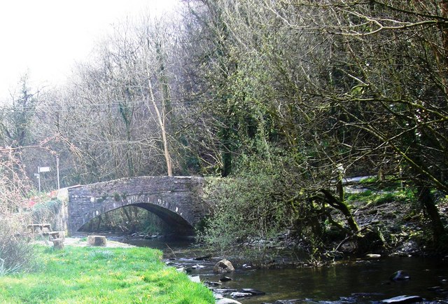
Pont Cych

Pont Cych is a single-arch, Grade II-listed bridge over Afon Cych at Cwmcych in the Cych Valley, bordering Carmarthenshire and Pembrokeshire, Wales....

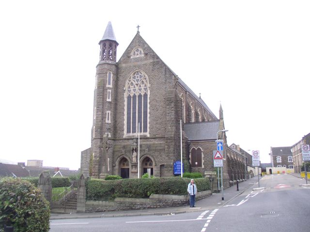
Roman Catholic Diocese of Menevia

The Diocese of Menevia (Latin: Dioecesis Menevensis) is a Latin Church diocese of the Catholic Church in Wales. It is one of two suffragan dioceses in...

Clydau

Clydau (sometimes Clydaï or Clydey) is a community and parish in Pembrokeshire, Wales. == Name == The meaning of the Welsh placename is uncertain, although...

Star, Pembrokeshire

Star is a small village in the parish and community of Clydau in Pembrokeshire, Wales. It lies south of Bwlchygroes on a crossroads in the valley of the...

Cilgerran Hundred

The Hundred of Cilgerran (often written "Kilgerran") was a hundred in the north of Pembrokeshire, Wales. It was formed by the Act of Union of 1536 from...

Ysgol Gyfun Emlyn

Ysgol Gyfun Emlyn is a mixed, community comprehensive school in Newcastle Emlyn, Carmarthenshire, Wales. It has around 134 pupils, catering for all abilities...

Nearby Amenities

Located within 500m of 51.990684,-4.4892488
Place: farm
Lat/Long: 51.9907666/-4.4847258
Give Way
Direction: forward
Lat/Long: 51.9872571/-4.4870585
Give Way
Direction: backward
Lat/Long: 51.989637/-4.4825955
The data included in this document is from www.openstreetmap.org. The data is made available under ODbL.

Have you been to Allt Cil-waunydd-fawr?

Leave your review of Allt Cil-waunydd-fawr below (or comments, questions and feedback).