Allt y Graig
Wood, Forest in Cardiganshire
Wales
Allt y Graig
The requested URL returned error: 429 Too Many Requests
If you have any feedback on the listing, please let us know in the comments section below.
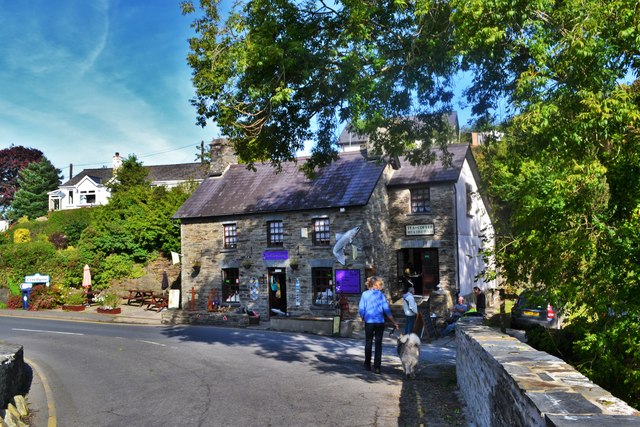
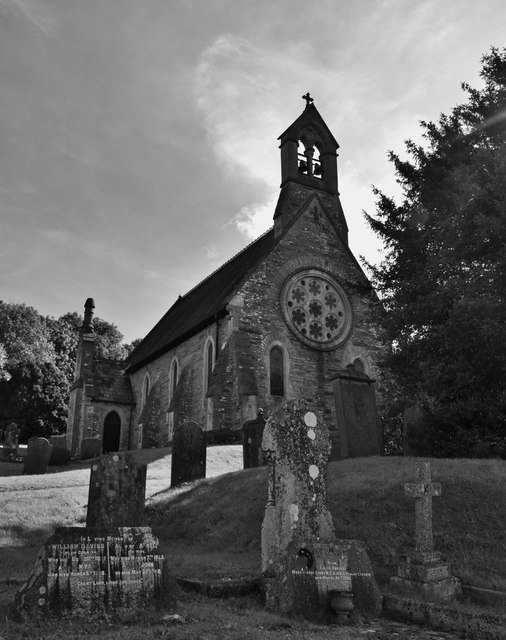
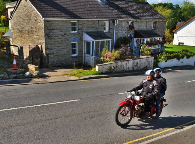
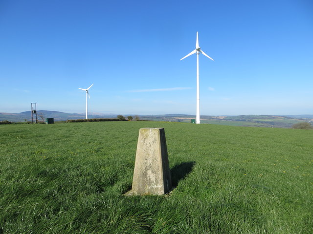
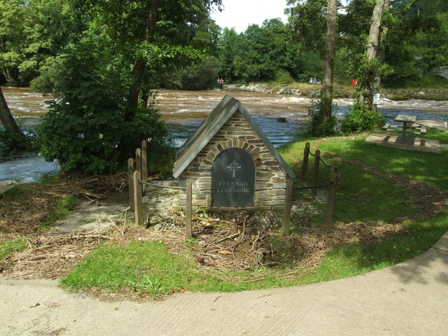
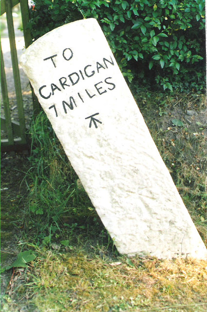
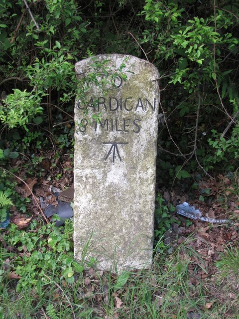
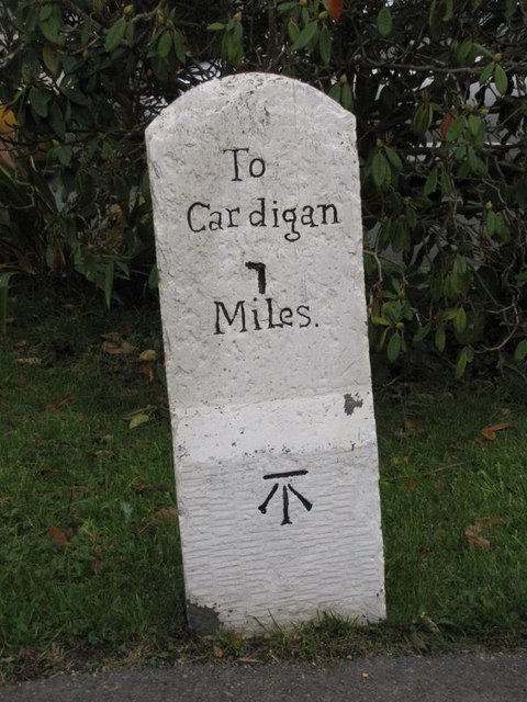
Allt y Graig Images
Images are sourced within 2km of 52.046576/-4.5191763 or Grid Reference SN2741. Thanks to Geograph Open Source API. All images are credited.


Allt y Graig is located at Grid Ref: SN2741 (Lat: 52.046576, Lng: -4.5191763)
Unitary Authority: Ceredigion
Police Authority: Dyfed Powys
What 3 Words
///sheet.couple.headrest. Near Newcastle Emlyn, Ceredigion
Nearby Locations
Related Wikis

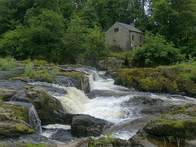
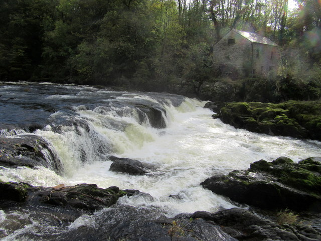
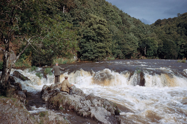
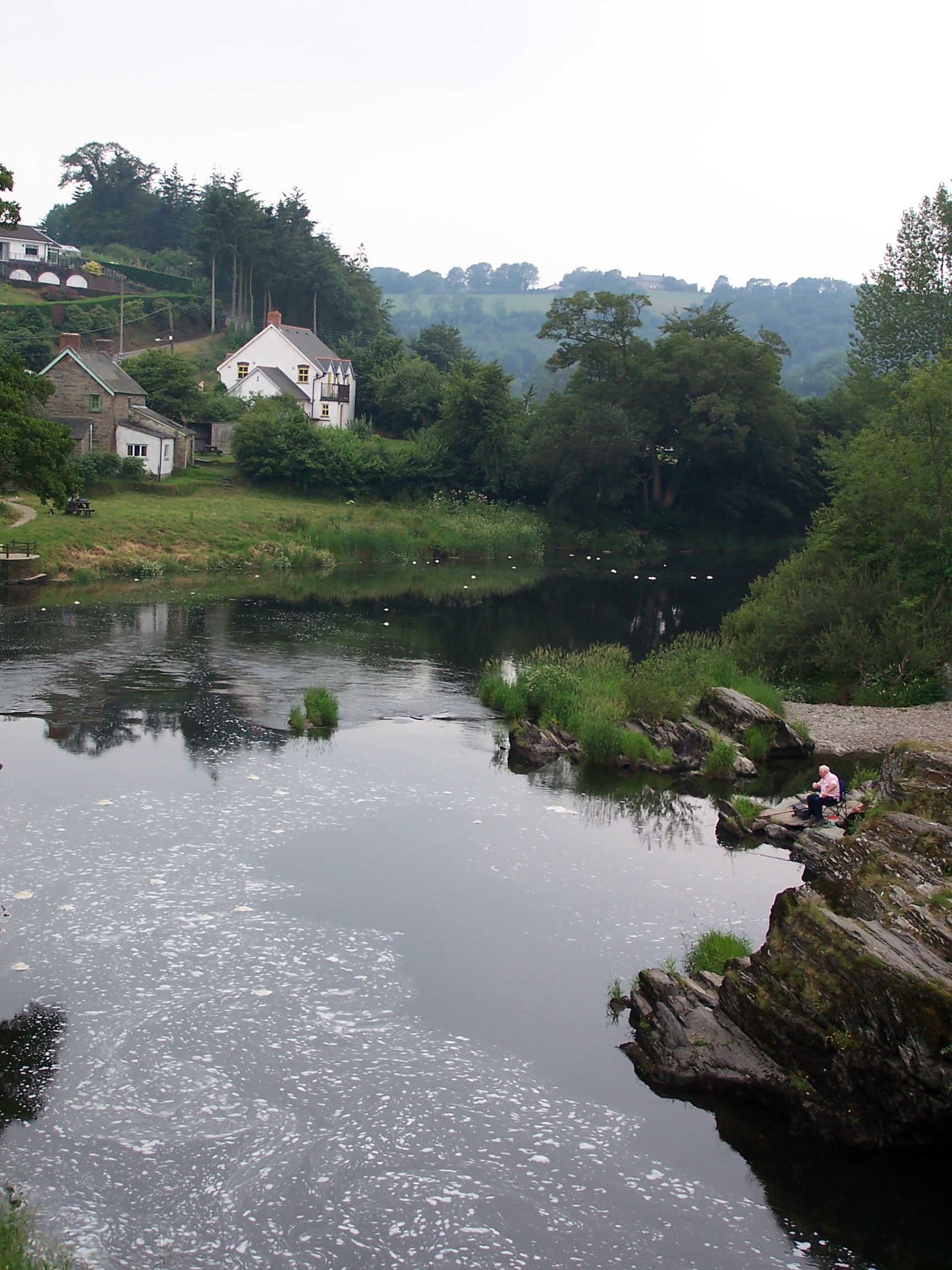
Cenarth Falls
The Cenarth Falls is a cascade of waterfalls just upstream of the road bridge in the village of Cenarth in Ceredigion, bordering Carmarthenshire and Pembrokeshire...
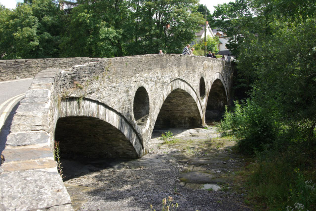
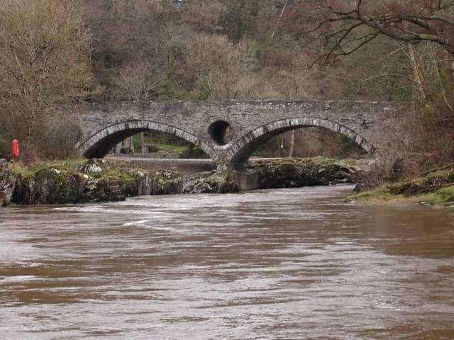
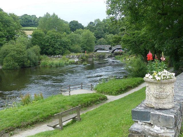
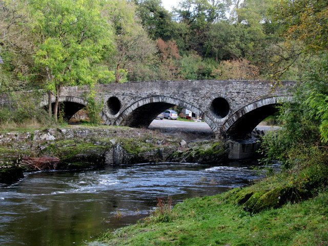
Cenarth Bridge
Cenarth Bridge (Welsh: Pont Cenarth), also spelt Kenarth Bridge, is a three arch bridge which spans the River Teifi at Cenarth, Carmarthenshire in Wales...

National Coracle Centre
The National Coracle Centre is a museum in Cenarth, Carmarthenshire dedicated to coracles. It is owned by Martin Fowler and entry is via the wall of his...
Cenarth
Cenarth () is a village, parish and community in Carmarthenshire, on the border between Ceredigion and Carmarthenshire, and close to the border with Pembrokeshire...
Nearby Amenities
Located within 500m of 52.046576,-4.5191763Have you been to Allt y Graig?
Leave your review of Allt y Graig below (or comments, questions and feedback).